Many people or most people especially in the sub-continent have a view and a version on Kashmir. And many or most outsiders are actually not really aware of the Kashmir they talk about. There is this whole “Paradise on Earth” narrative which talks about the physical beauty of this Land and its People. And then of course there is the Political narrative on this as i call it “Cursed Land” with hundreds of Thousands killed and displaced. But as usual my concern is mostly Geographical. As in how well do People understand the Geography of Kashmir.
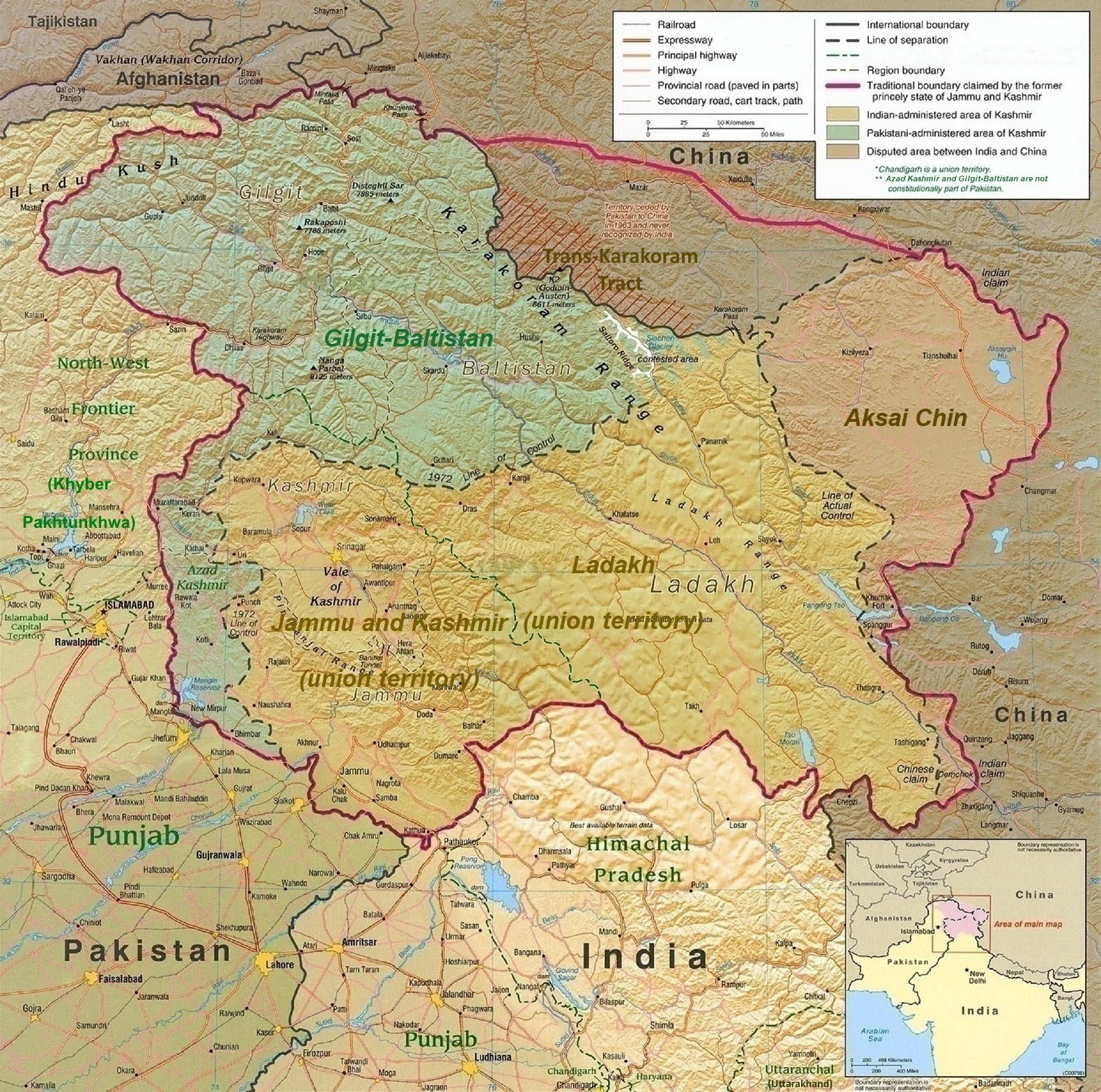
Over the years ive realised there are Three Kashmirs in popular perception and all of them are called the same. Kashmir. And people often get confused about the same. Well there is a Geographical Kashmir, there are Administrative Kashmir (s) and Political Kashmir. And since everyone and their Doggy is an expert on Kashmir Ill once again for the simple matter keep stuff easy to understand stick to the time of Partition of the Subcontinent and the “Partition” of the erstwhile Riyasat E Jammu and Kashmir. And for the same I will use a Map issued by National Geographic from 1942 which shows the areas Ruled directly by the British as well as the Princely States which were indirectly run by the British through the Maharajas / Rajas / Thakurs / Zamindars etc.
And the Map also shows the essential administrative units of the states.
Jammu Province: Districts of Jammu, Jasrota (Kathua), Udhampur, Reasi and Mirpur.
Kashmir Province: Districts of Kashmir South (Anantnag), Kashmir North (Baramulla) and Muzaffarabad.
Frontier Districts: Wazarats of Ladakh and Gilgit.
Internal Jagirs: Poonch, Bhaderwah and Chenani.
In the 1941 census, further details of the frontier districts were given:
Ladakh Wazarat: Tehsils of Leh, Skardu and Kargil.
Gilgit Wazarat: Tehsils of Gilgit and Astore
Frontier Ilaqas: (under the Gilgit Agency) Punial, Ishkoman, Yasin, Kuh-Ghizer, Hunza, Nagar, Chilas.
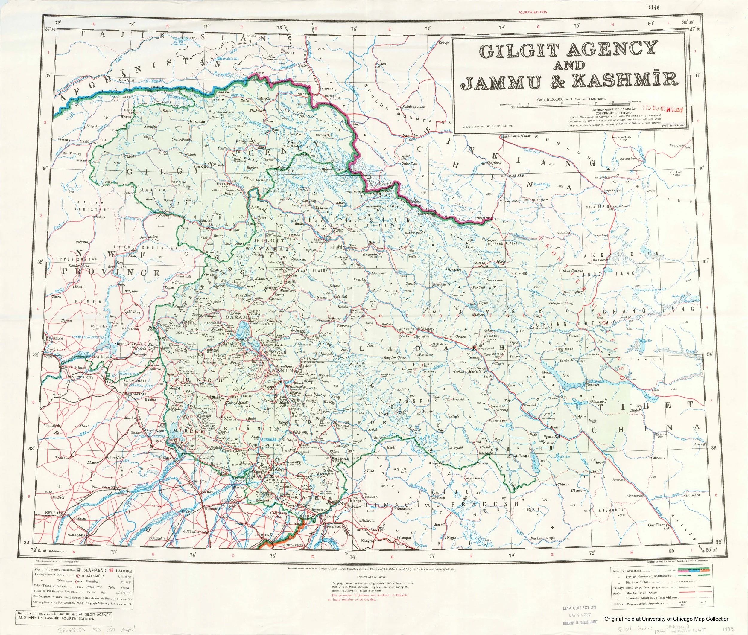
The above is from Wikipedia but it gives a good idea of how the State was politically divided into administrative Units when it was a Princely State. This Princely state was often referred to in its entirety as “Kashmir” and even till today many people think of it as the same. From Gilgit to Mirpur and from Muzaffarabad to the farthest end of Ladakh bordering Tibet everything was Kashmir. And once upon a time I imagine all the Residents fancied being called Kashmiris. For some reason there was something exotic which was attached with the name Kashmir. I experienced this in my Childhood and even now when you tell people that you are from Kashmir. No wonder all the Mirpuris from across the LoC refer to themselves as Kashmiris. This was like the First Kashmir. The all Encompassing Riyasat e Jammu and Kashmir. Basically a construct of the Sikh Empire and shaped by the Dogras.
And then there is the second Kashmir, which was called the Kashmir Province back then and the Kashmir Division after Independence. Prior to Indpendence there was Kashmir North ie Baramulla and Kashmir South ie Anantnag and added to it was Muzzafarabad District along the Jehlum as it flowed down towards the Punjab. But at the time of Independence most of Muzzafarabad fell on the other side of the LOC so what was left was a Uri area plus the rest of Baramula and of course the Anantnag District. At the time of Patition our Village was a located in the Uri Tehsil of Baramulla District. We were very much a part of this Second Kashmir historically.
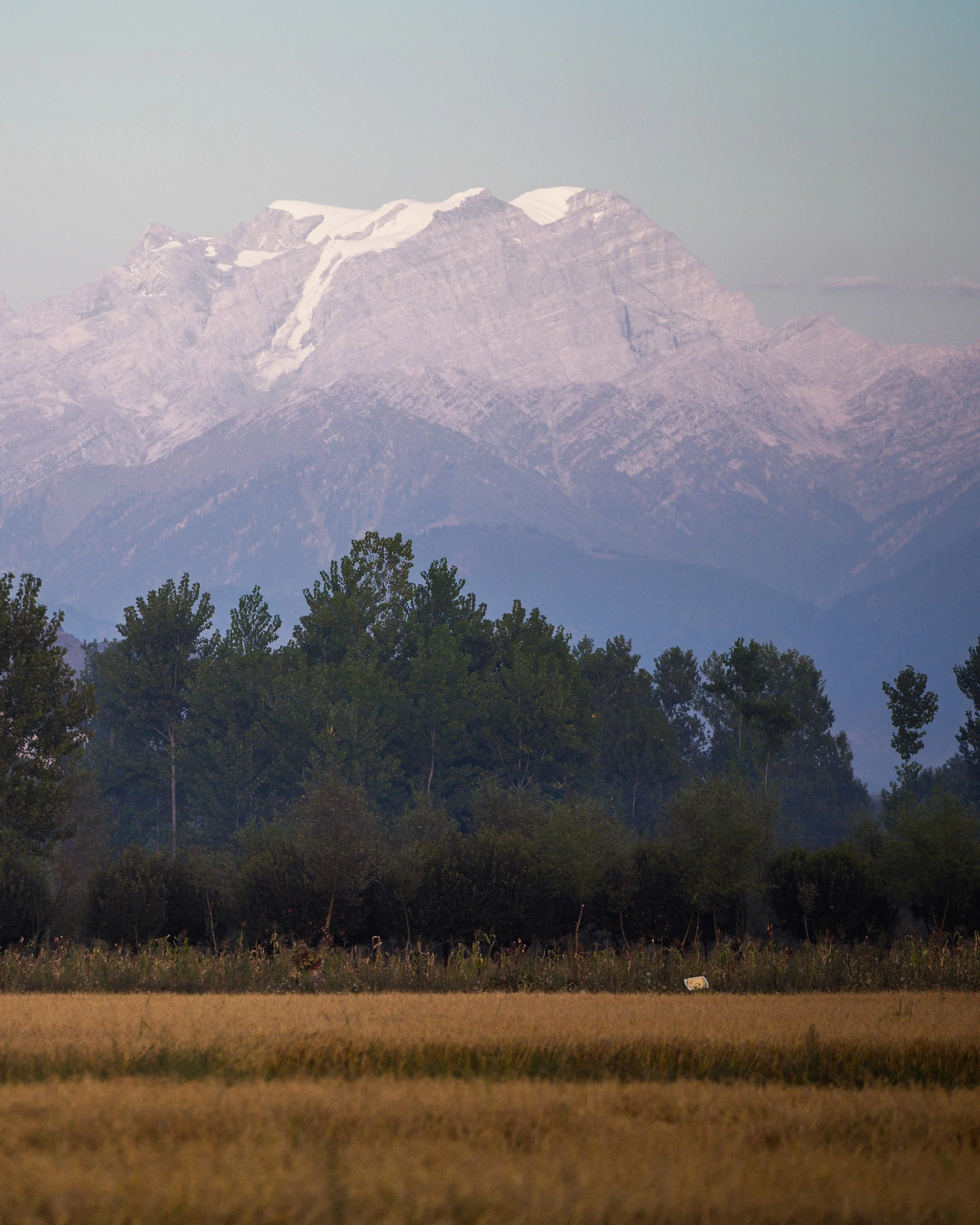
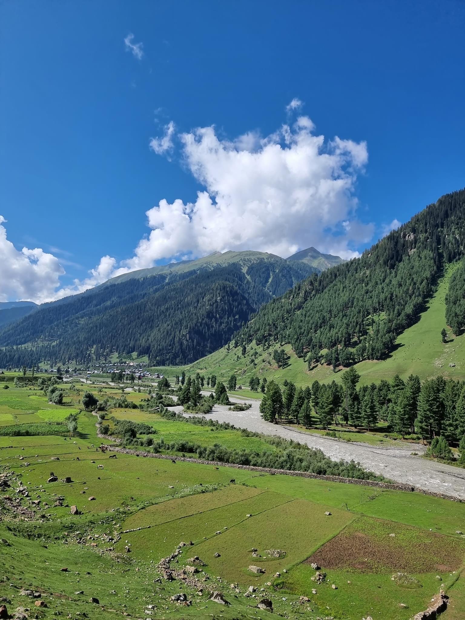
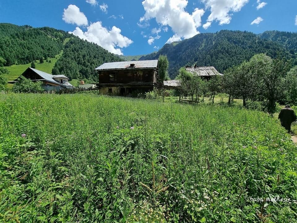
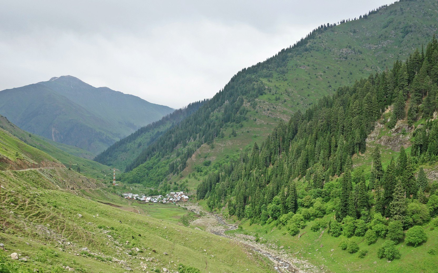
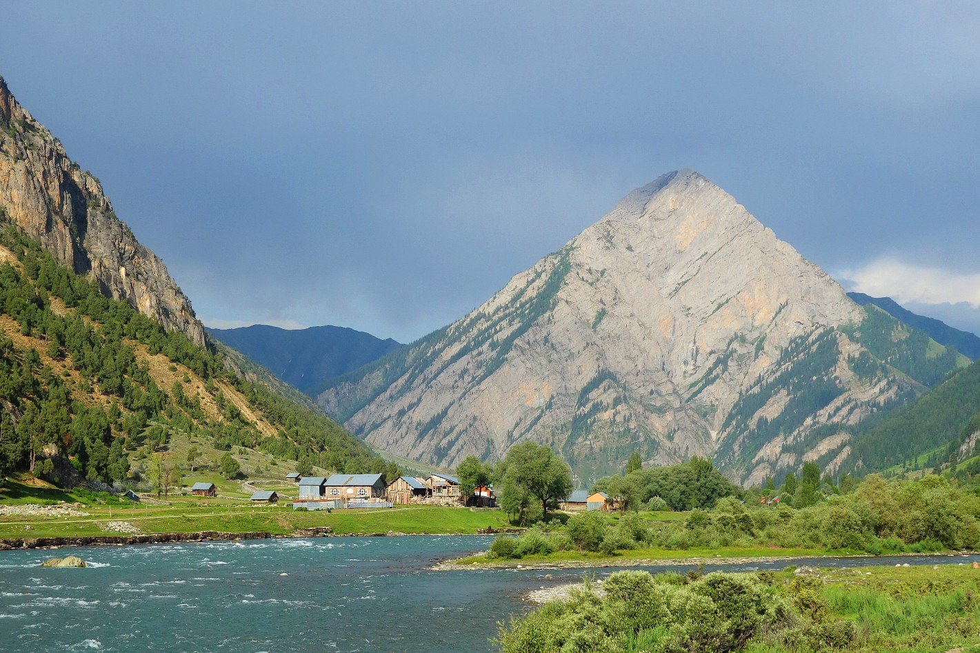
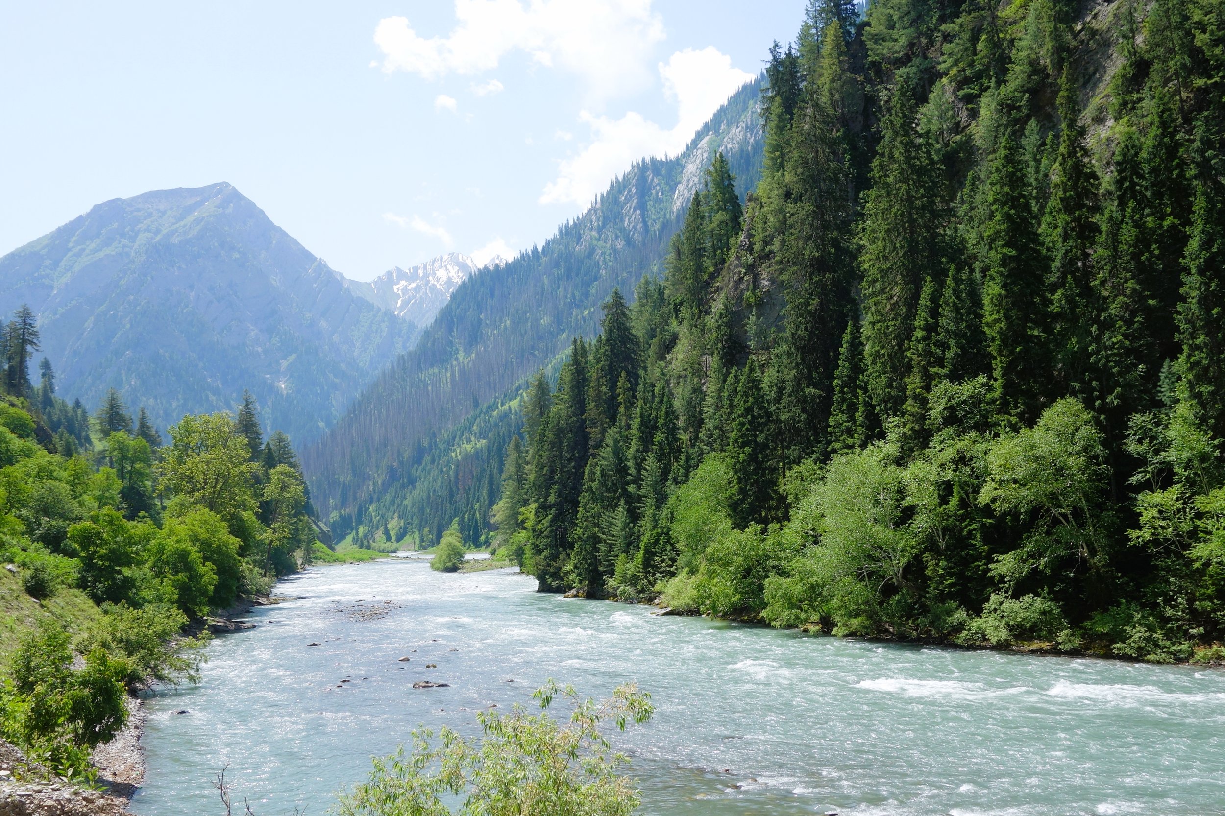
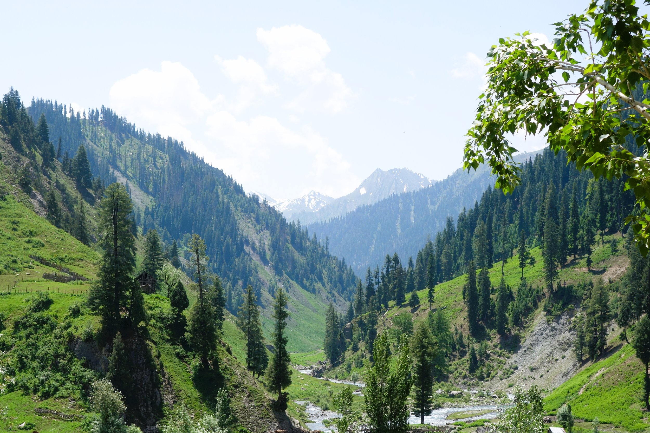
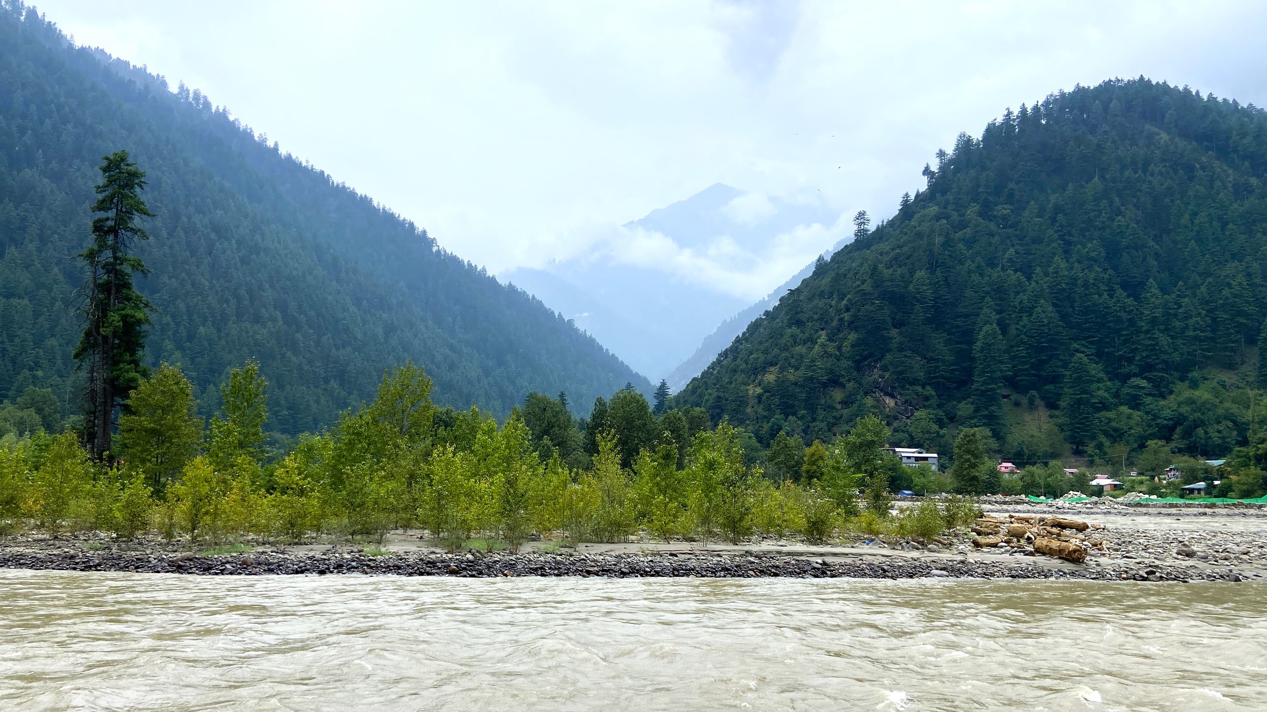
And then finally there is the Third Kashmir. The actual Geographic and Lingual Kashmir which is basically the Valley of the Jehlum and flanked on one side by the Pir Panjals and on the other side by the Great Himalayan Range. This is the famed Vale of Kashmir that for centuries was a source of fascination for outsiders. Classically on an East West alingment the Valley stretches all the way from say Verinag to Baramulla whereon the Valley disappears and is replaced by the Jehlum Gorge. This Third Kashmir is the one I grew up in as a “Kashmiri” who nonetheless couldnt speak Kashmiri but we were a Punjabi speaking Linguistic Minority. There are other “Kashmiris” here who’s Mother Tongue isnt Kashmiri like Punjabi Muslims and Gujars and even Ladakhis and Purigis but many of them speak Kashmiri fluently.
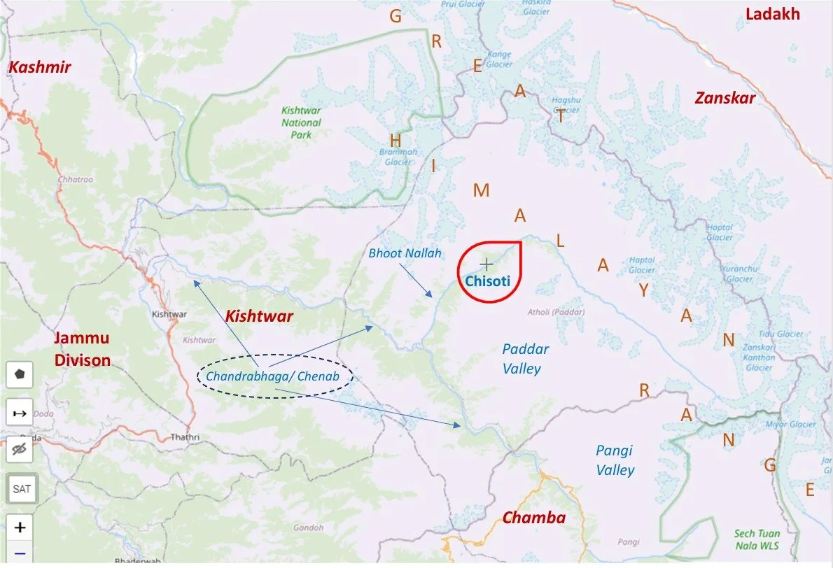
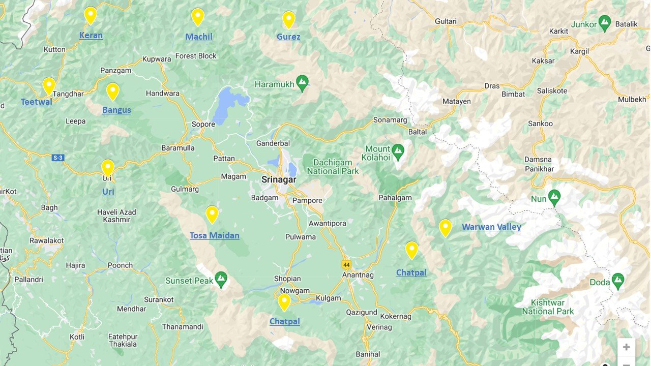
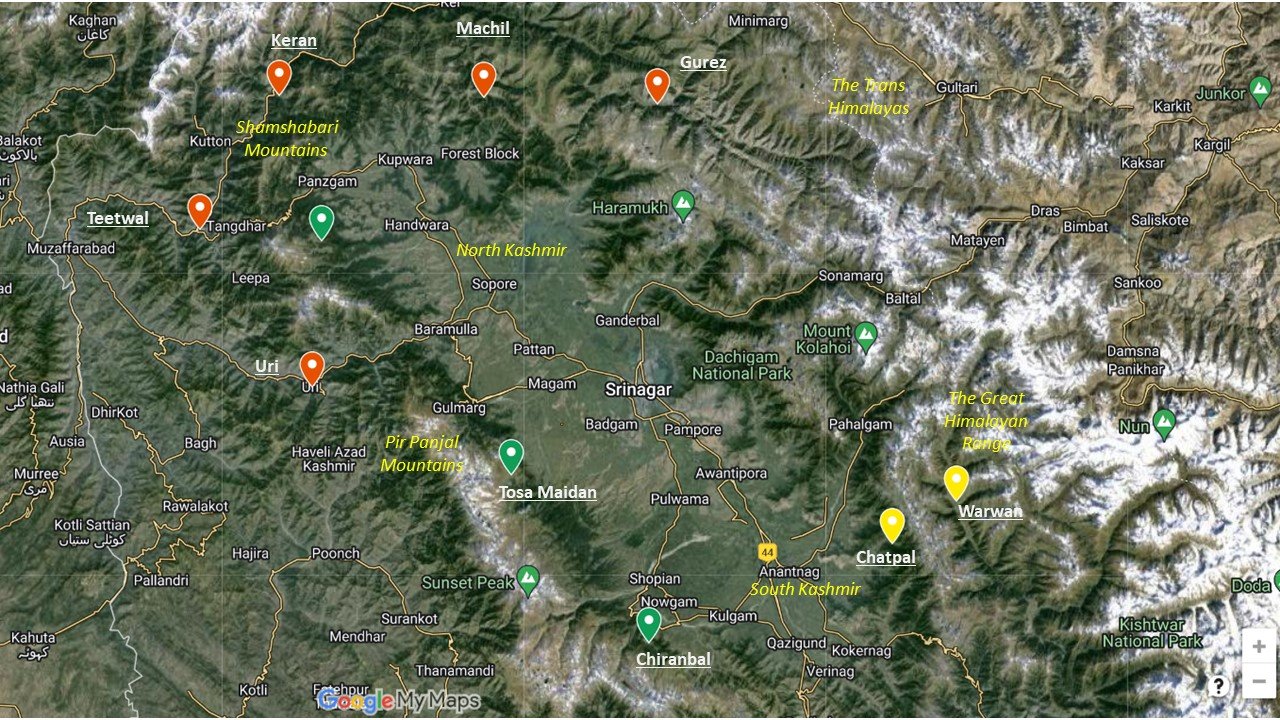
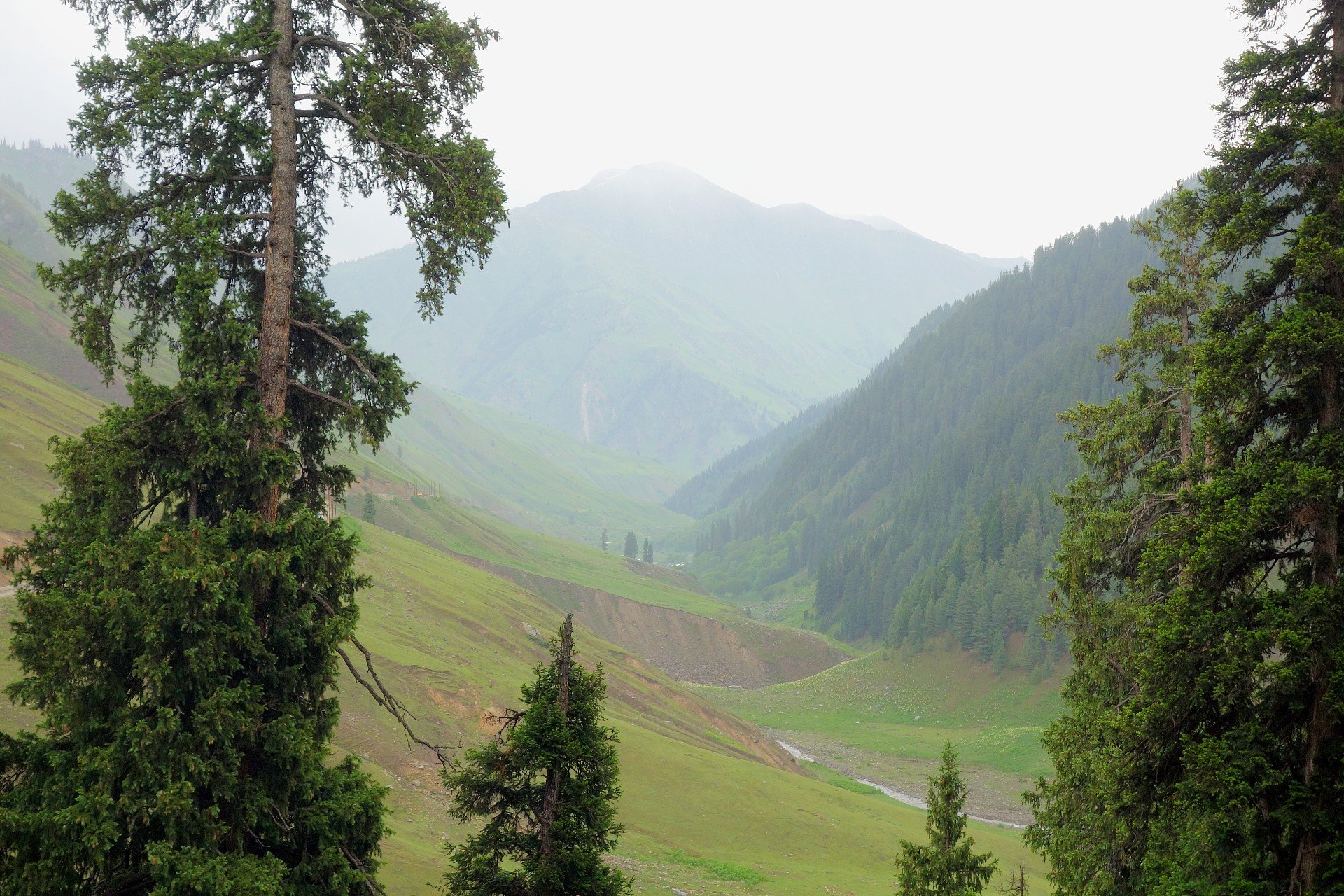
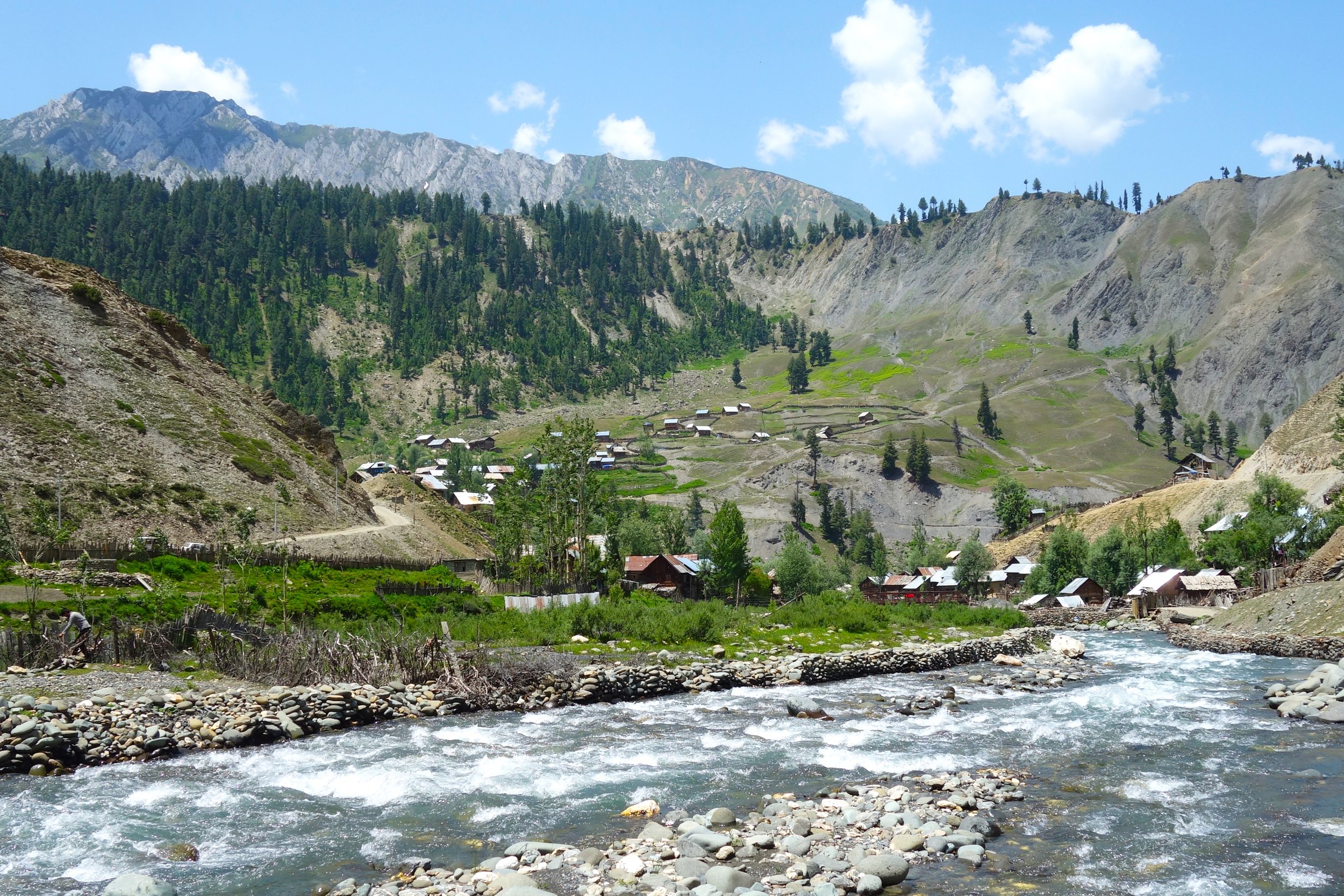
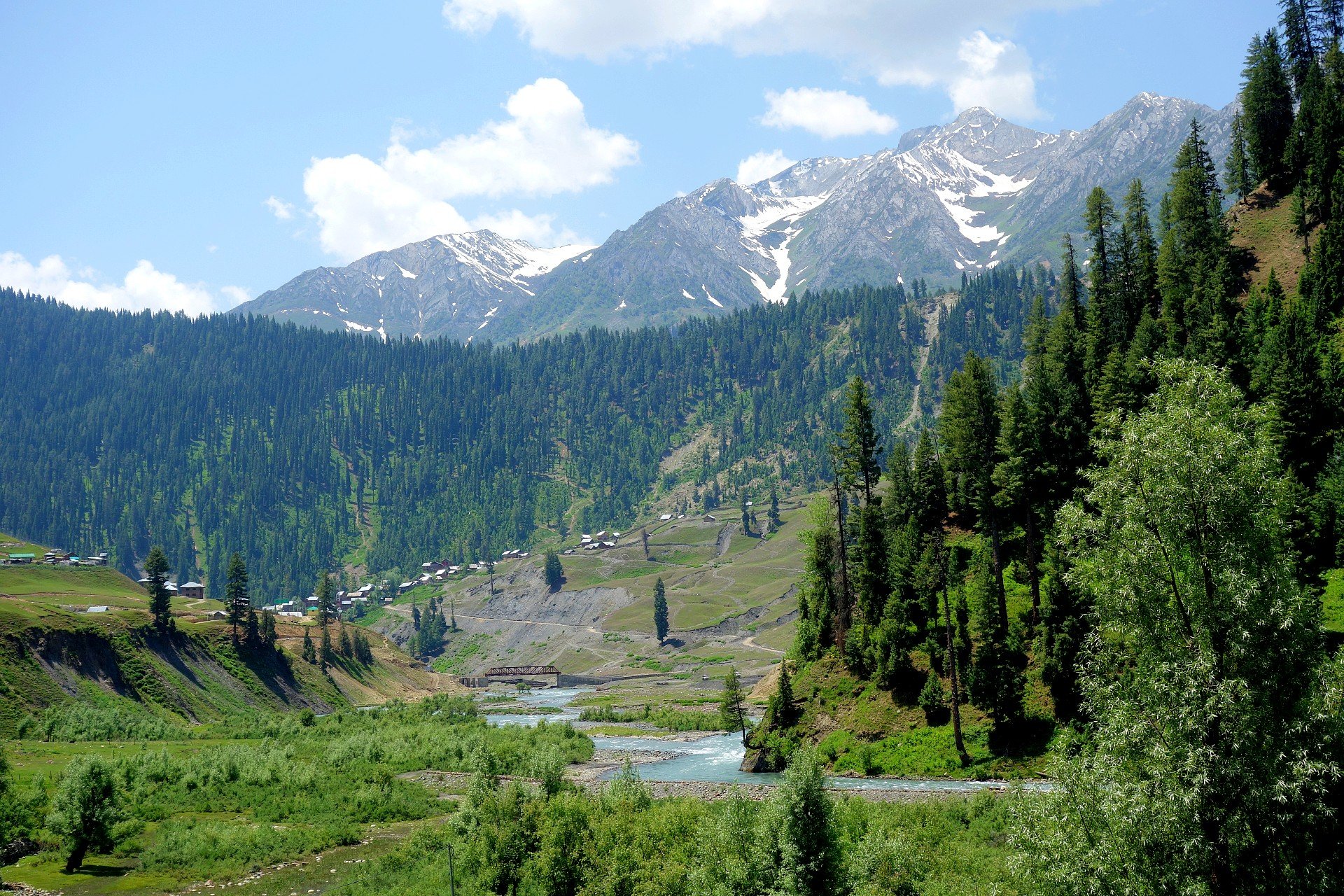
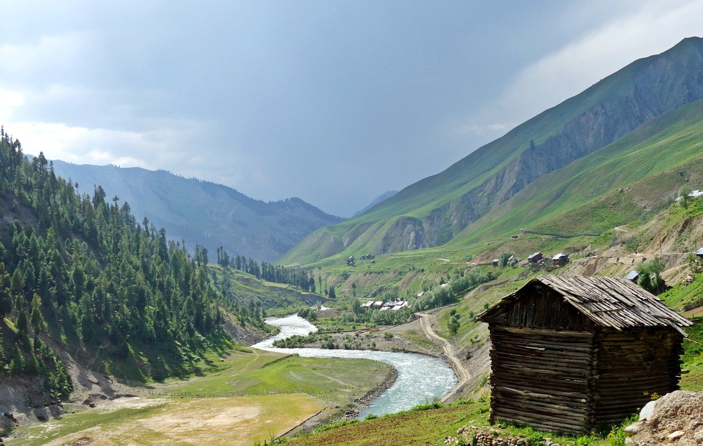
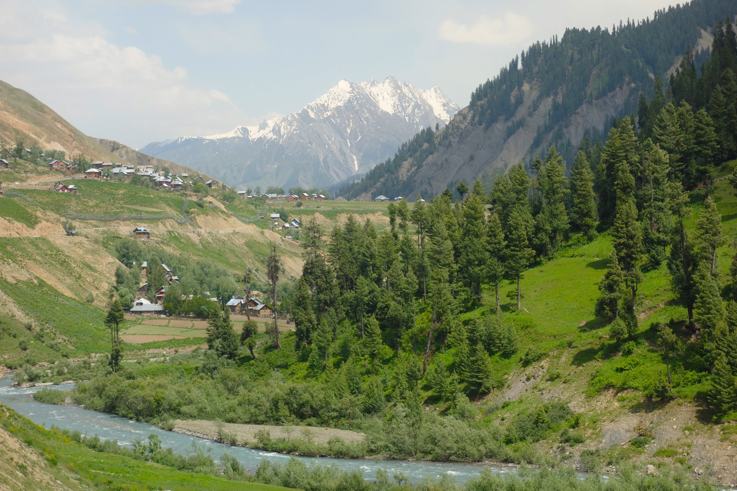
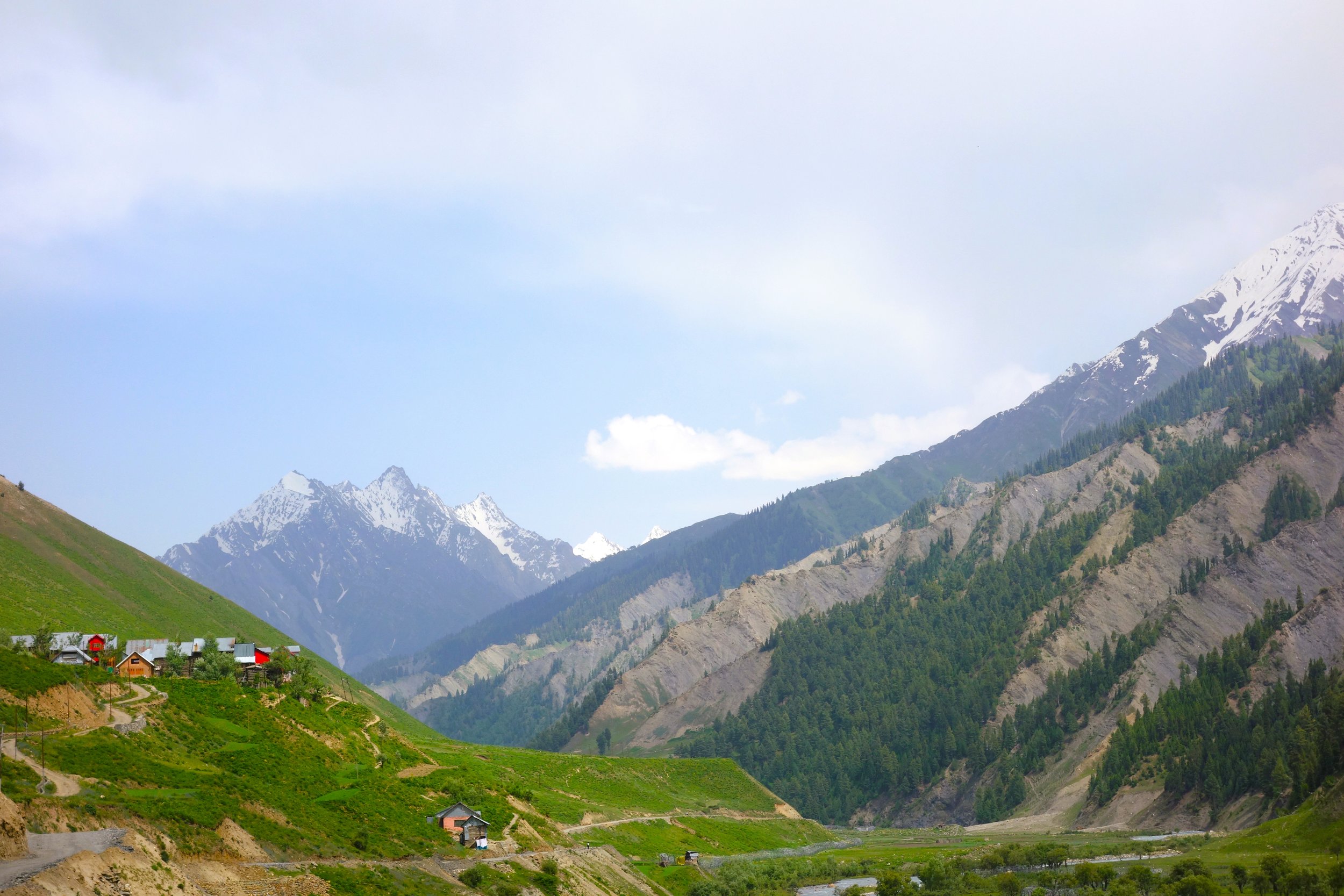
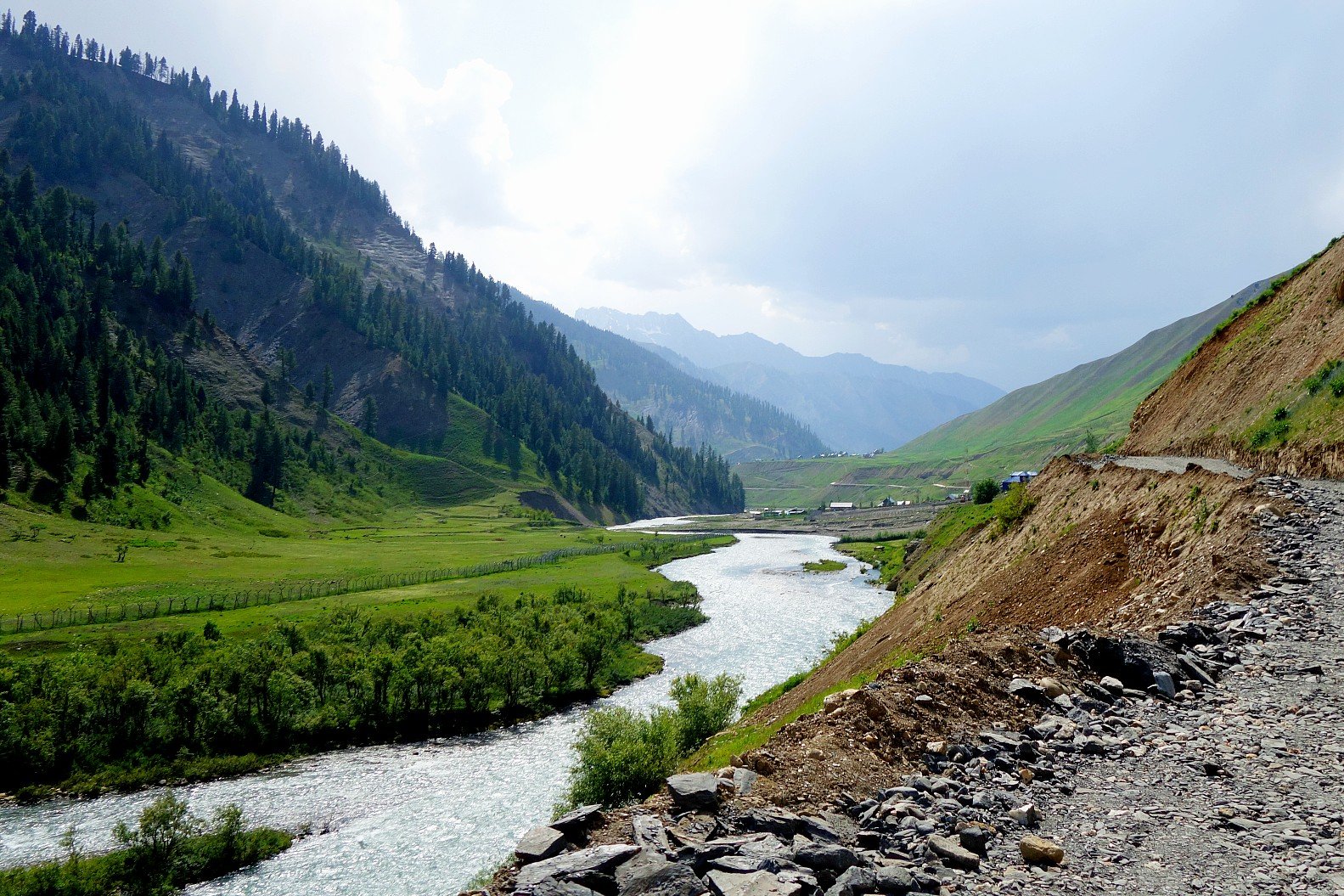
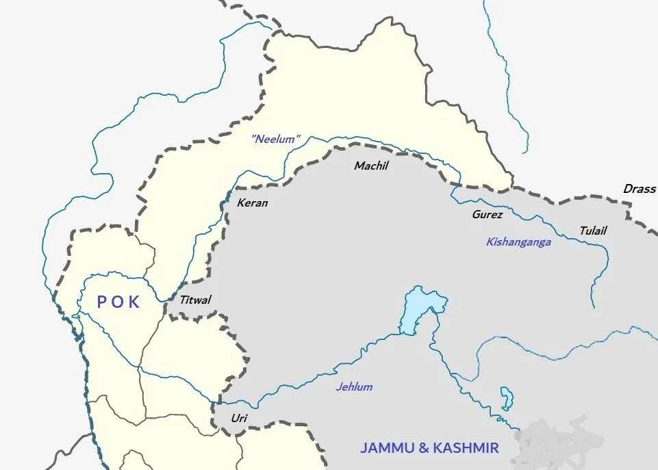
That being said i kinda find it amusing that many Pakistanis talk of thier “Kashmir” which in their imagination is what I would call the Kishanganga Valley and my Pakistani friends call the Neelum Valley. Technically that Valley isnt really a part of Kashmir. Neither Geographically nor Linguistically. However some Geographers do regard the Kishanganga as the North Western and Western edge of Kashmir though it is a different Valley. Do remember unlike other sub Valleys of Kashmir like the Lidder Valley and the Sindh Valley getting to the Kishanganga Valley includes crossing High Passes with historically the main one being Rajdhanigan Pass which once stood on the “Silk Route” which connected Kashmir with Gilgit and Skardu in Baltistan.

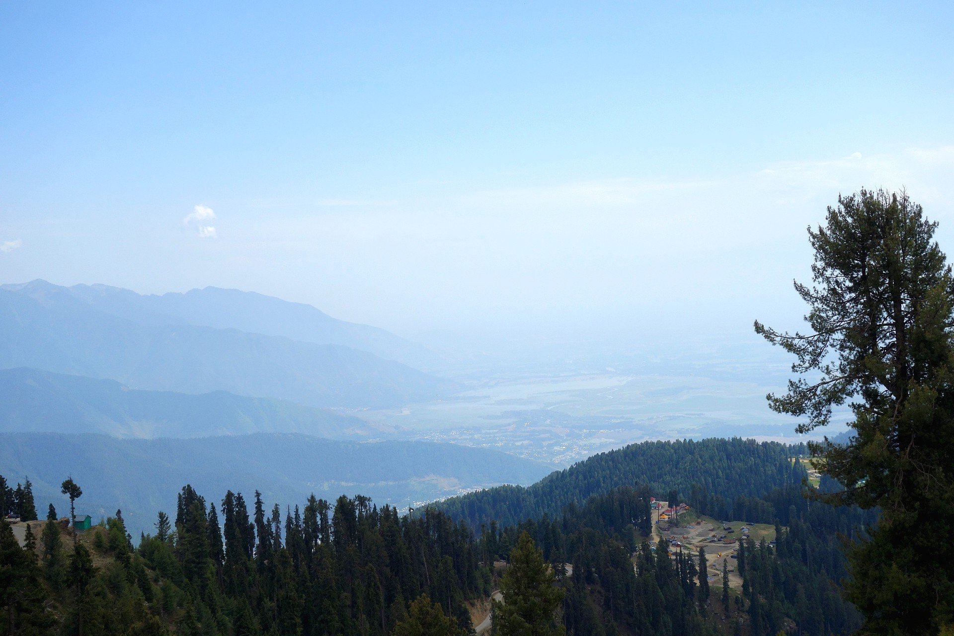
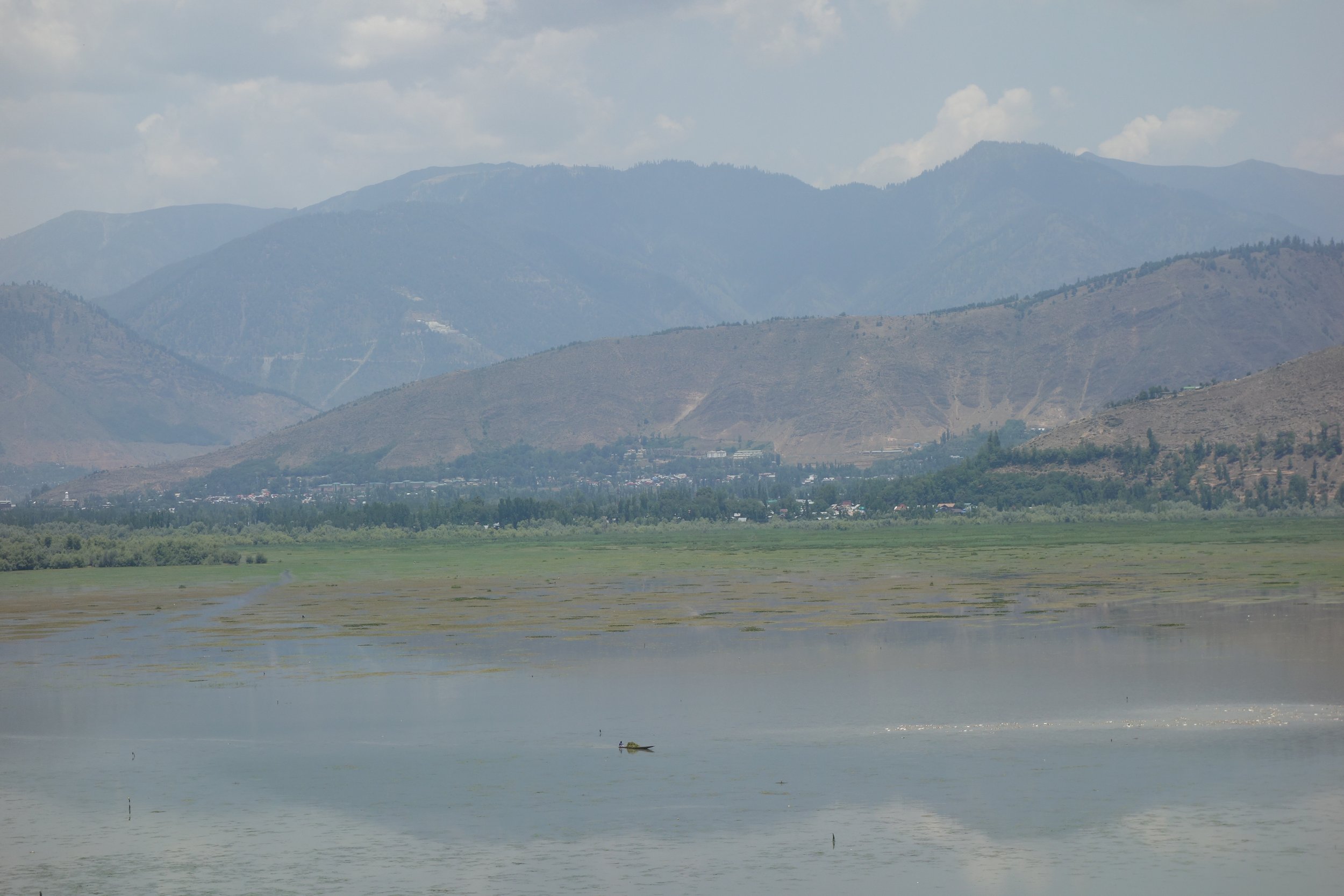
That being said the fascination that people have with Kashmir and assumed Kashmirs is indeed an enduring one even when the term is used for different Geographies in the same Region. And as a parting shot i always wondered which part of Kashmir fascinated people the most. And to work on this puzzle i first eliminated areas in Kashmir which are similar to other Geographies in Western Himalayas. Like there would be many Alpine Meadows like Gulmarg all over the Western Himalayas and there would be valleys like the Sindh and the Lidder. After many years the realisation dawned on me that it was most probably my Hometown Srinagar which fascinated visitors the most. With the Jehlum, the Lakes, the Zabarwan Mountains, the Karewas, the Gardens, the Orchards and the Forests it was and still is unique. Something which has no equal on the Planet as I would say.