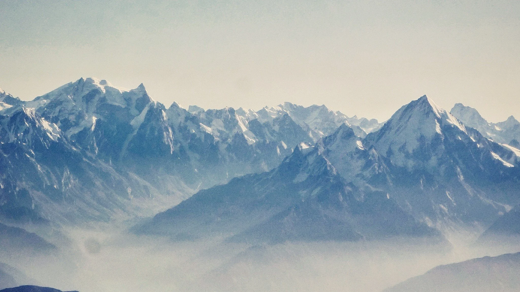
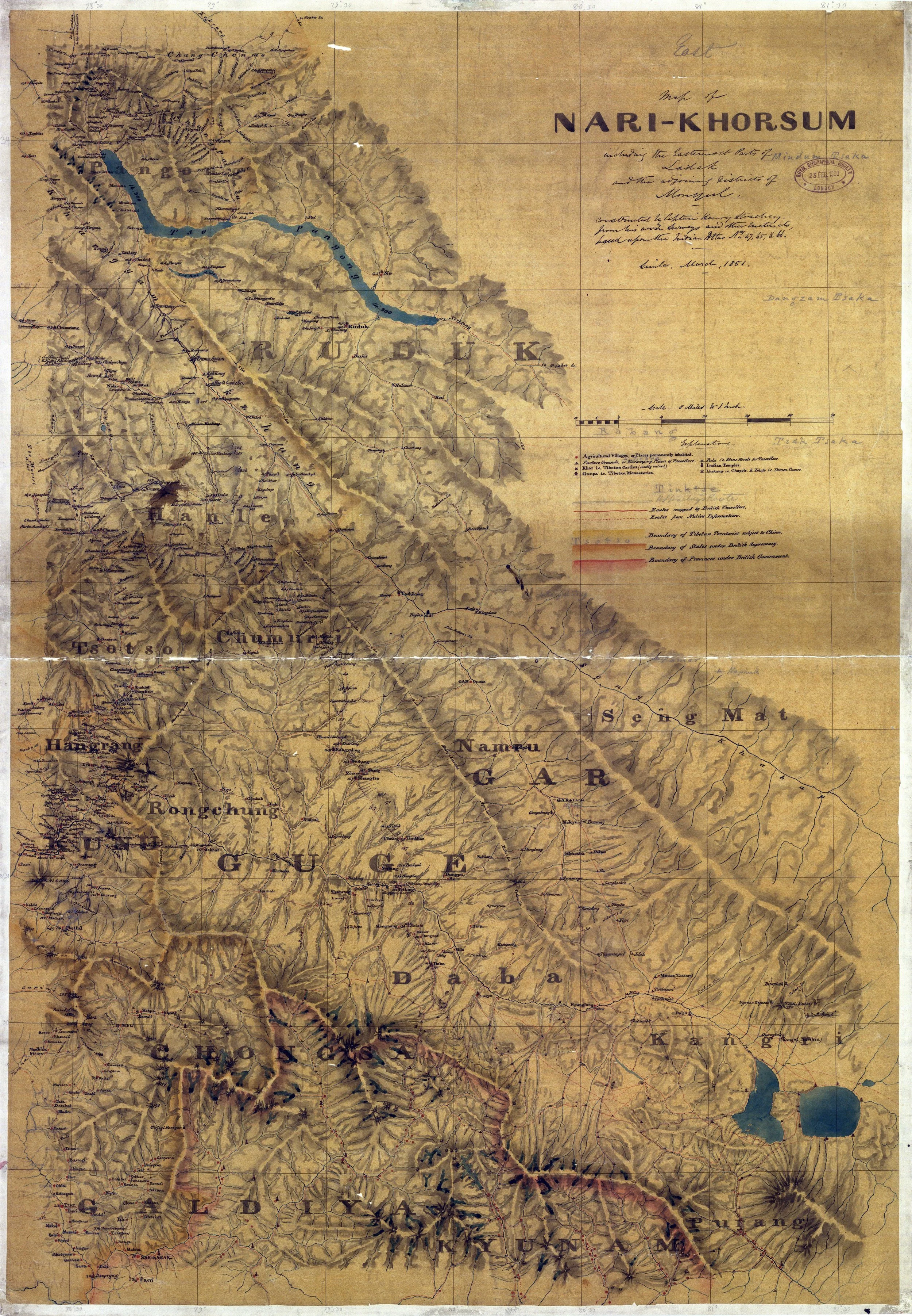
Col Starchey was an Officer in the British Army and was involved in the Surveying and Mapping the unmapped Regions to the North of the Great Himalayan Range as well as around Tibet. He made various Journey’s to the Region and came up with some Great Maps of the area and one of the most prominent being the Maps of Ladakh (Western Tibet as it was called) and the Regions around it.
Read MoreThe Mountain Geography of Ladakh makes for interesting reading situated as it is between the Great Himalayan Range and the Karakoram Range. Also running within Ladakh are the Ladakh Range and the Zanskar Range but most people do not have a clear idea as to which Pass co-relates to which Pass.
Read More

