• Our Tours
  • KHC Pahadi Products
  • Articles
  • About
Menu

Travel The Himalayas -Kashmir 360

Street Address
City, State, Zip
Phone Number
Curated Experiences in the Himalayas

Your Custom Text Here

Travel The Himalayas -Kashmir 360

  • Our Tours
  • KHC Pahadi Products
  • Articles
  • About

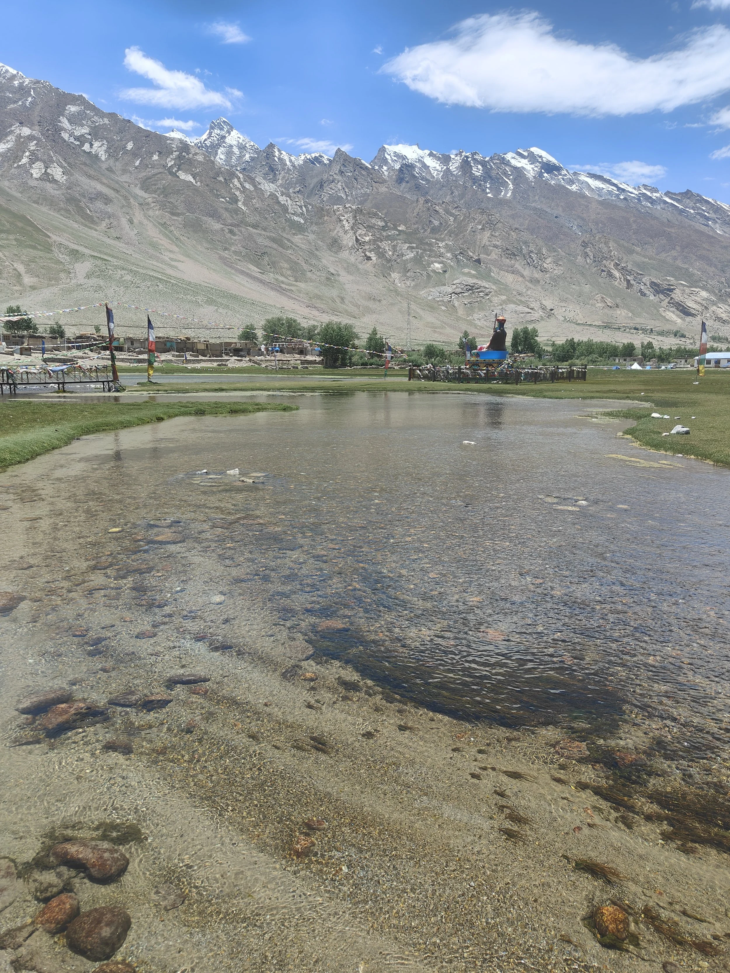
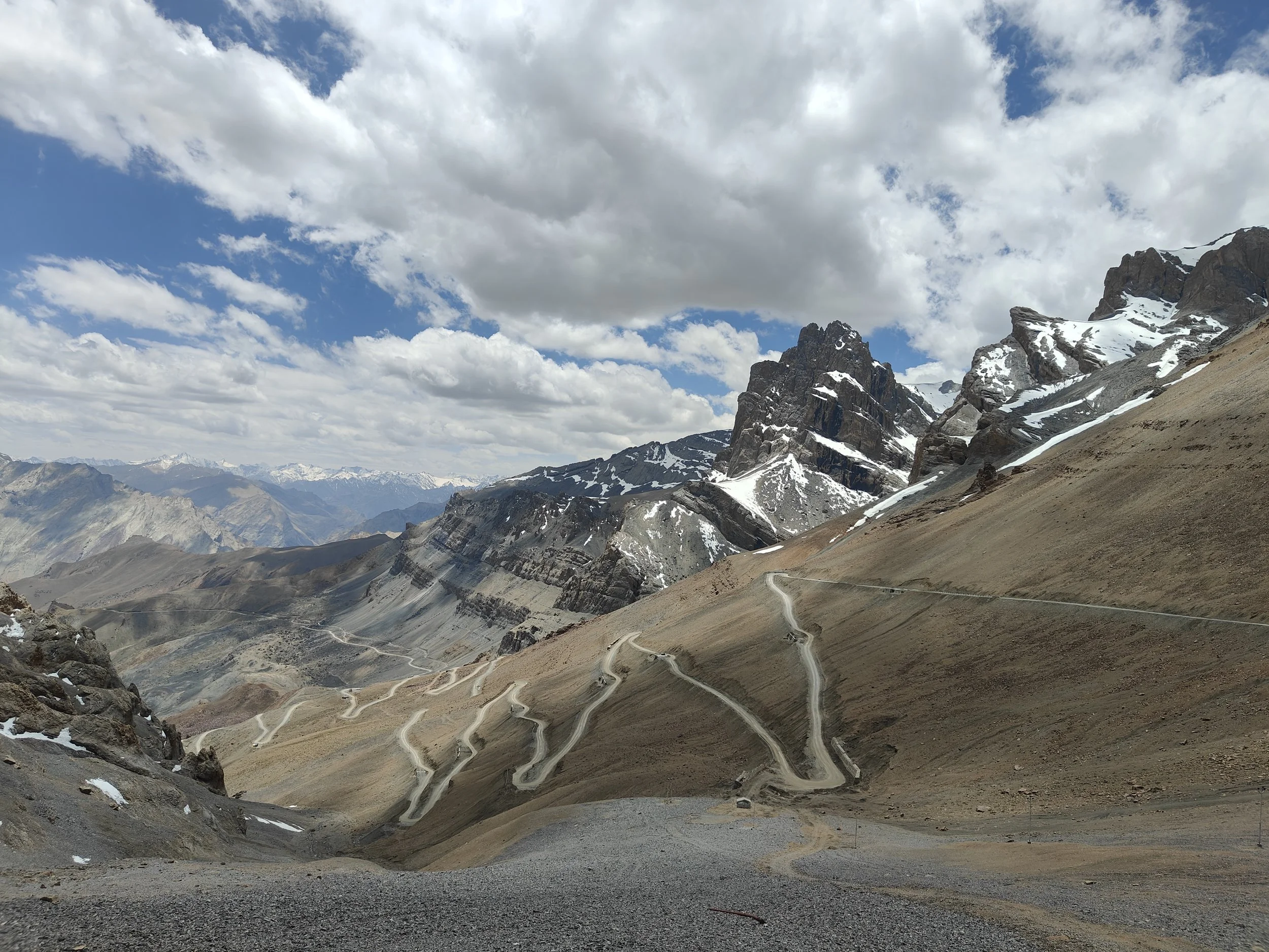
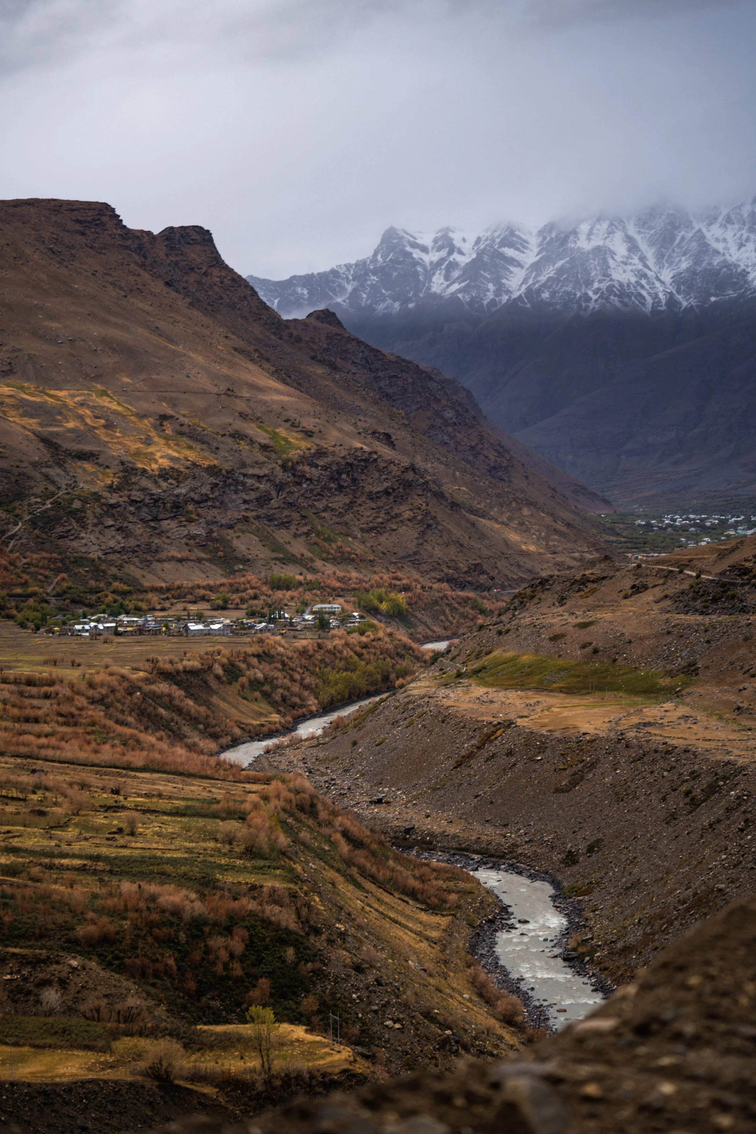
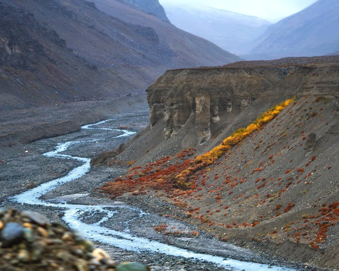
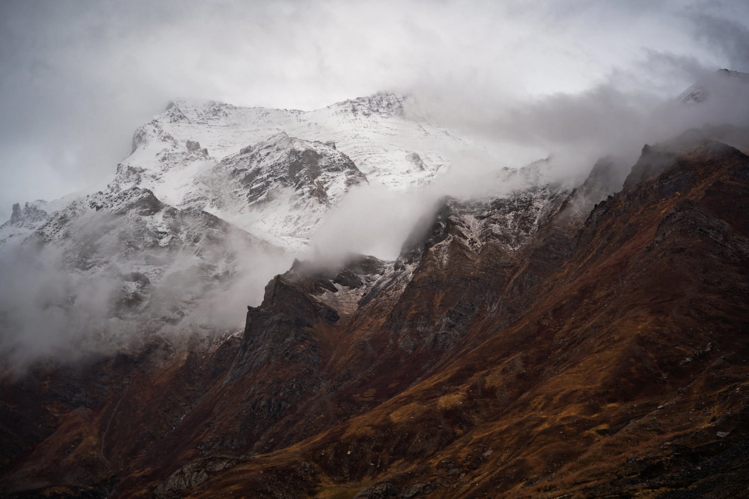
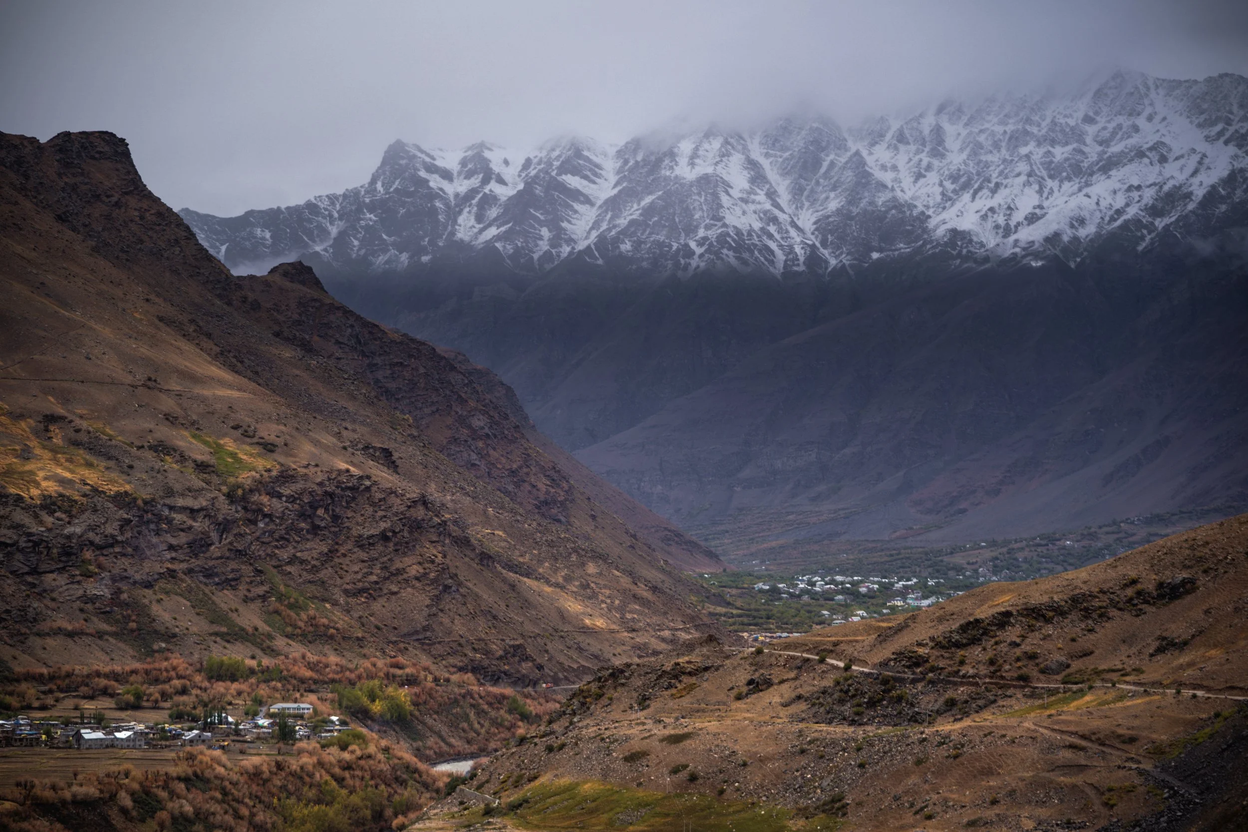
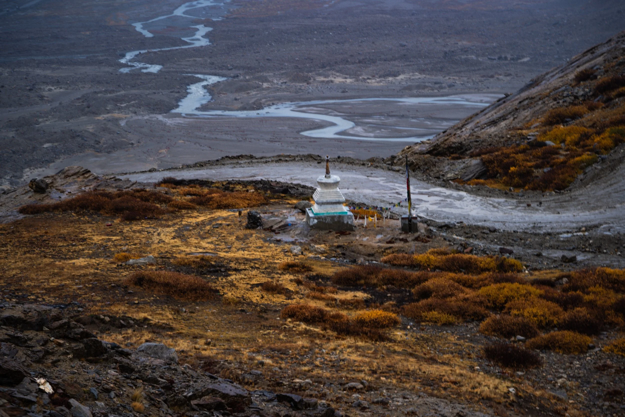
Zanskar 2024

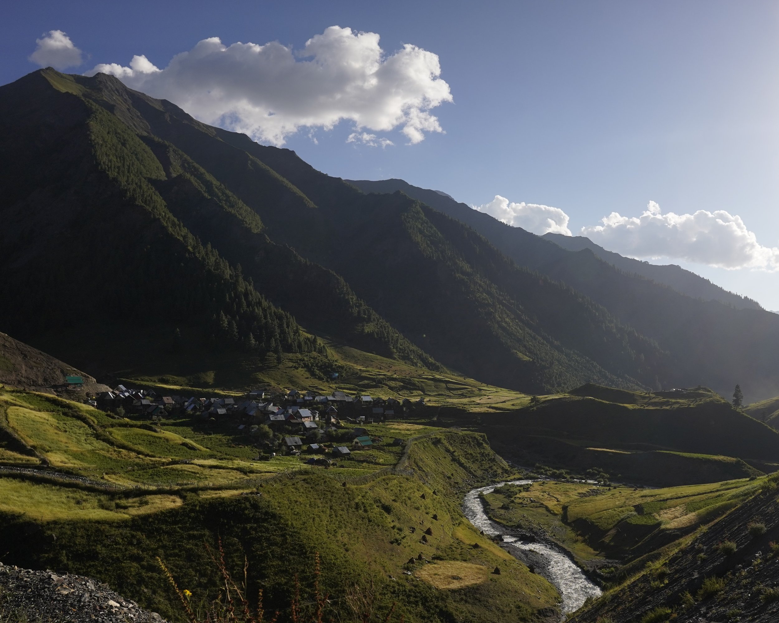
Pics of the Valley of Zanskar from 2024. Zanskar has seen a steady increase in the number of Visitors since the opening of the Shinku La Pass which connects it with Lahaul.

Read more about this fascinating Land in the Link below :

Zanskar : The Valley of Copper

The Zangal Fort in Zanskar

The Zangla Fort in Zanskar, Ladakh

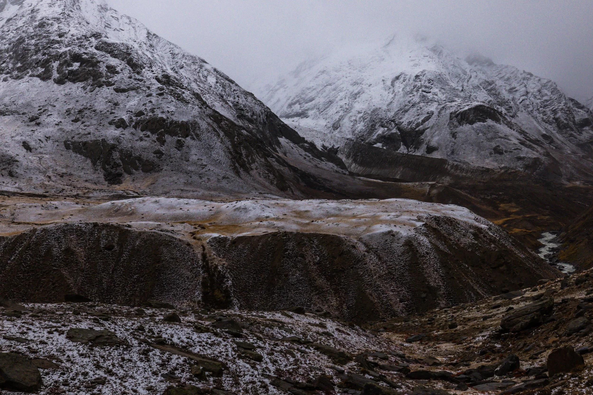
The Shafat Glacier
The Shafat Glacier

The Shafat Glacier as we proceed towards Rangdum

IMG20240629125523.jpg
sirsirla-2.jpg
IMG20240629144830.jpg
IMG20240629153228.jpg

Zanskar-Suru

DSC09418.jpg
_H3A4054.jpg
DSC09657.jpg
DSC09490.jpg
DSC09652.jpg
DSC09660.jpg
DSC09518.jpg

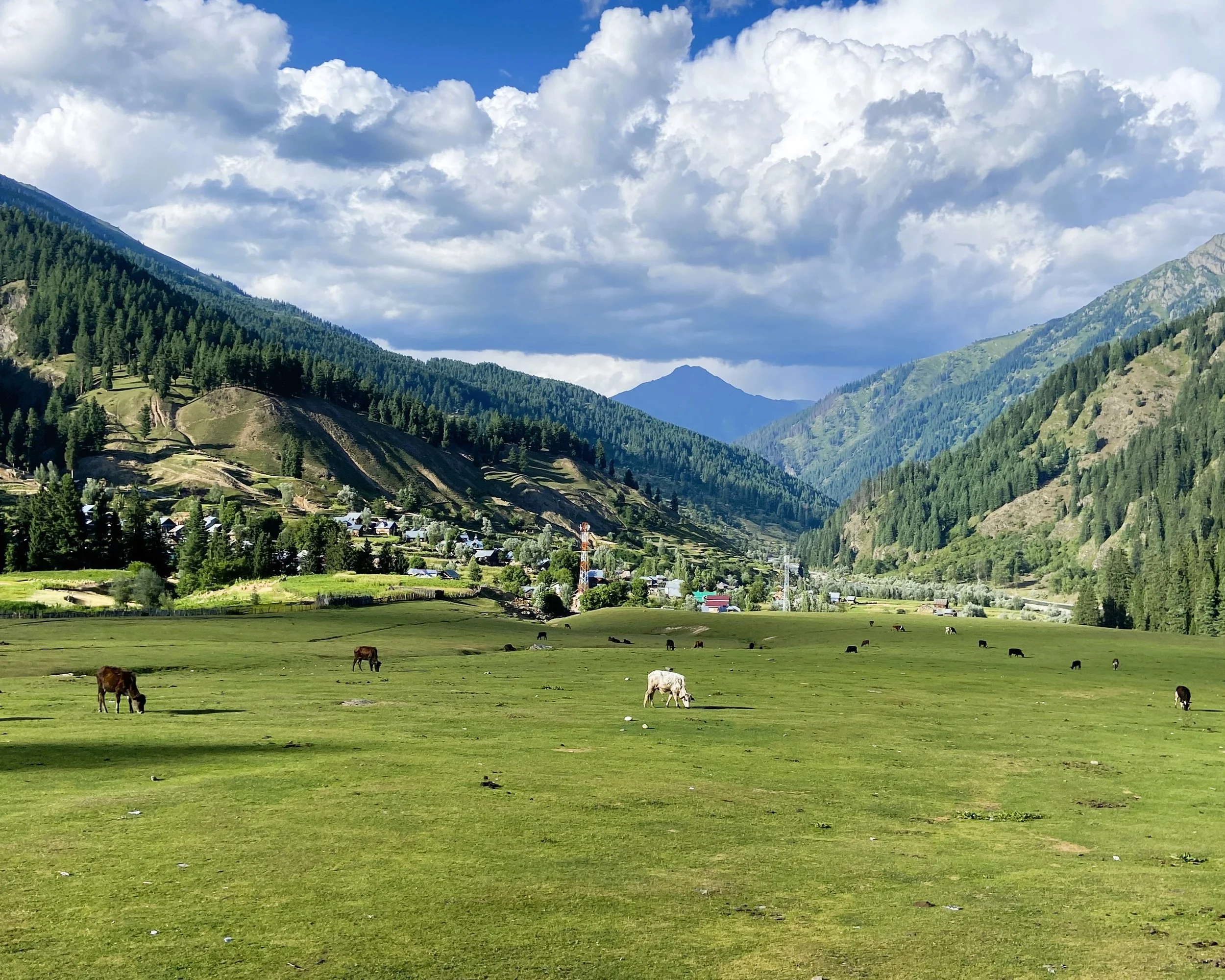
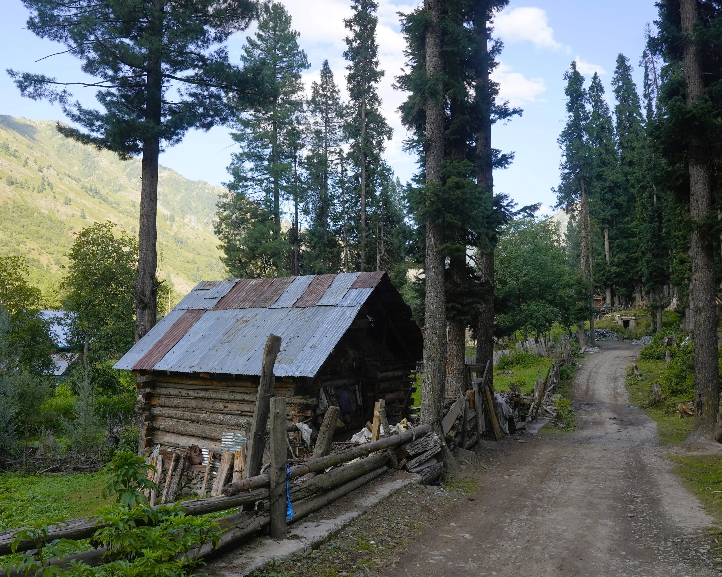
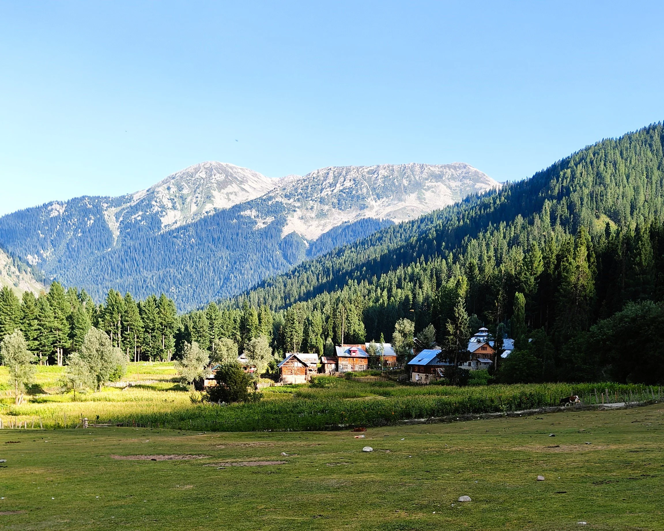
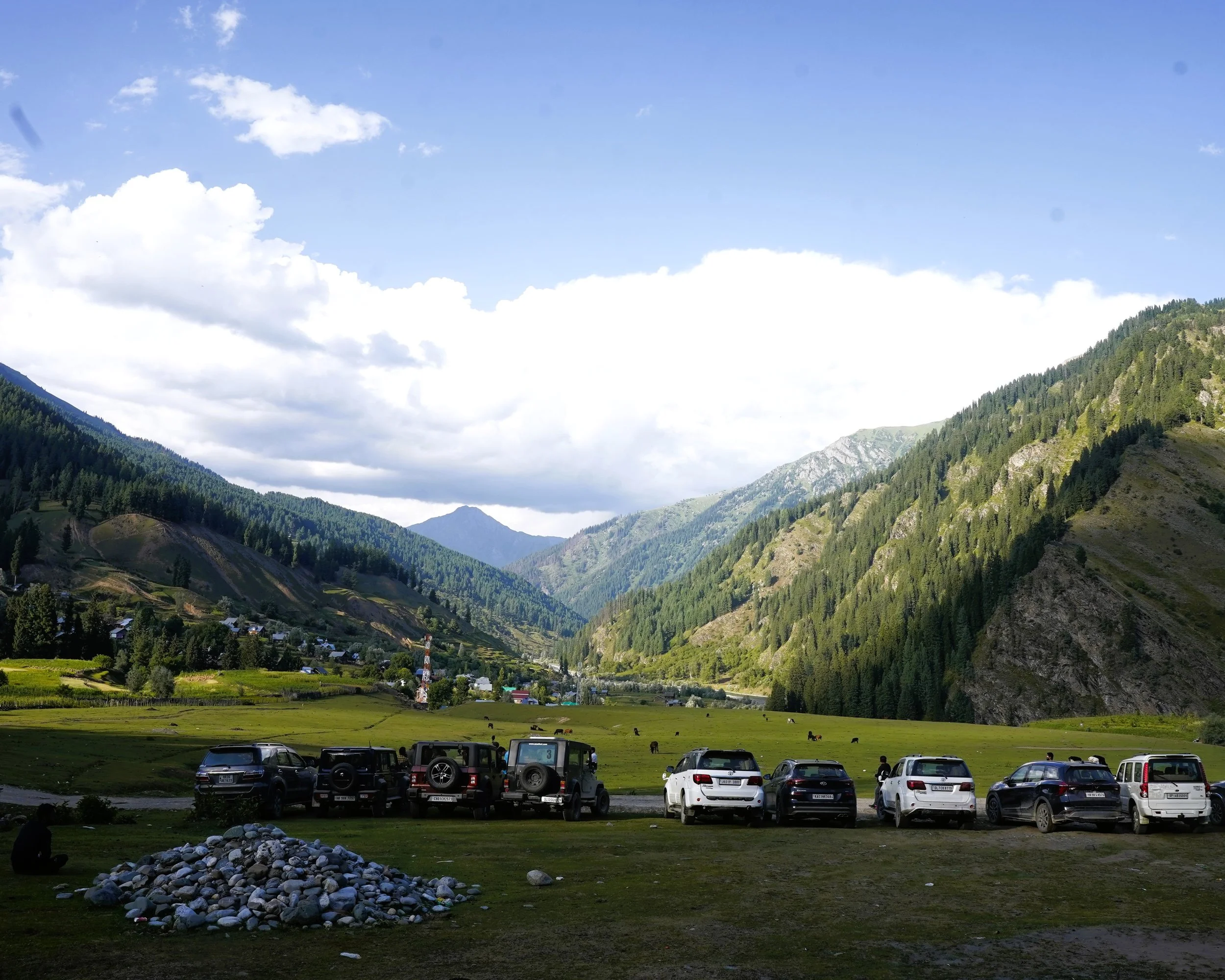
Teethwal Tangdhar

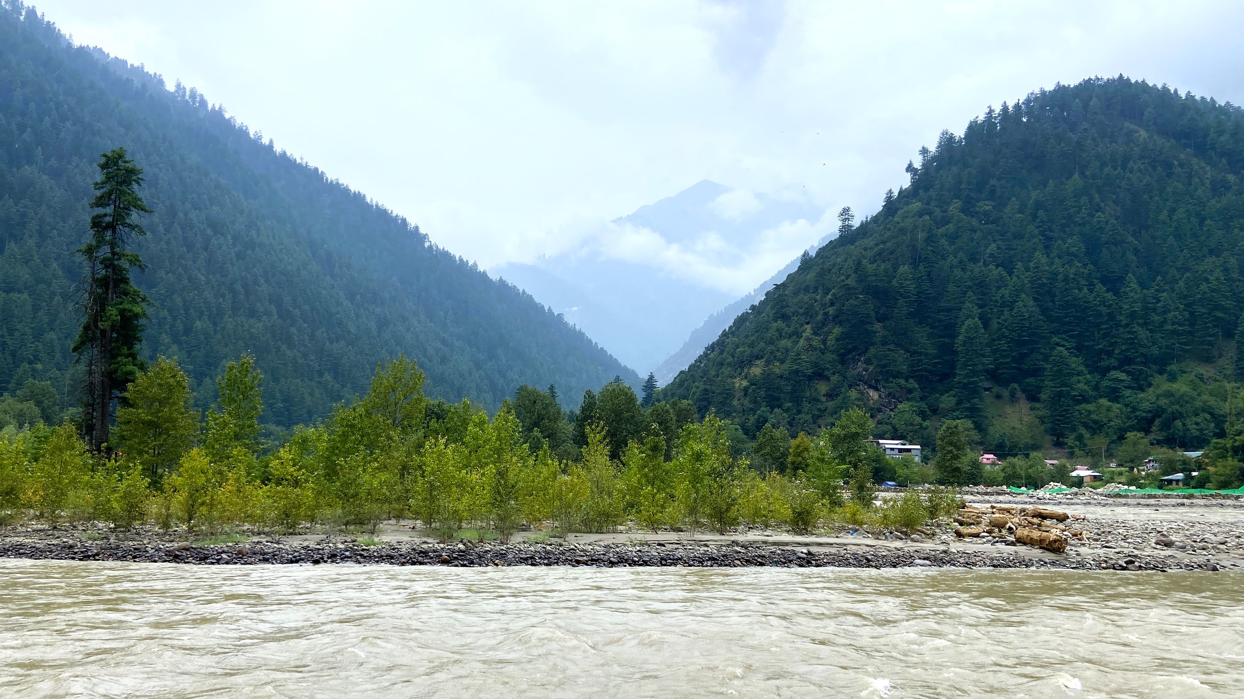
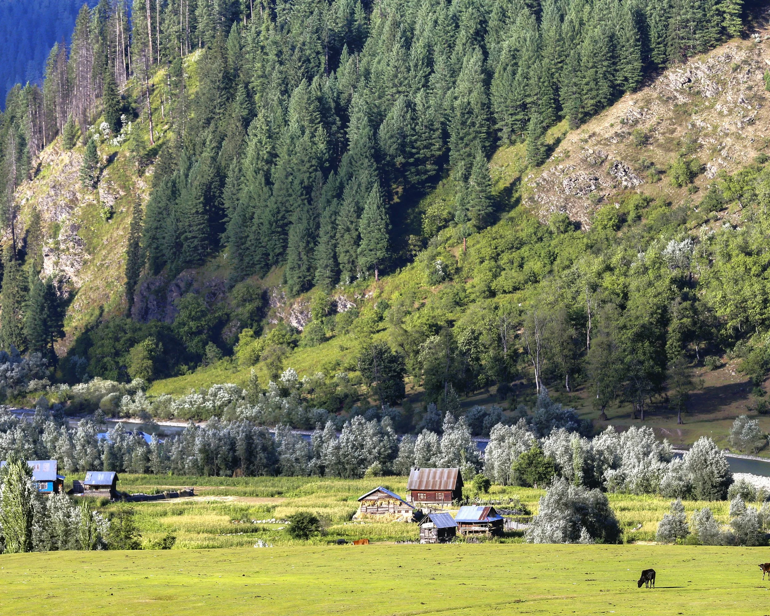
Teethwal and Tangdhar are located in the Karnah Valley which lies across the Shamshabari Mountains and you cross over from the Sadhna or the Nastachun Pass which is probably one of the most fiercely guarded Mountain Passes in the Country. That's not surprising especially if you remember the Battle of Tithwal and the fact that Two Param Vir Chakras were conferred during the Battle.

Crossing over the Pass you descend into the beautiful Tangdhar Valley with its green verdant fields and Houses spread over a large area. And the people of this area are mostly Pahadi instead of Kashmiri. You first need permission to come till Tangdhar and then from the Tangdhar Police Station you need another permission to go to Tithwal which lies right at the LoC.

Tithwal itself is a peaceful Village by the River with POK right across the River with a Restaurant along the main Road from where People from the other side look down on the people on the other side. Had quite a long Chat session with the Locals and for once I spoke to them in our Mother Tongue and was told that our Village was just a Mountain away yet so far.

I couldnt help but think of Manto’s classic Short Story in Urdu which would be translated into English as “The Dog of Tithwal”. Its about a Dog of Tithwal who has to prove to entrenched Soldiers on each side whether he is Indian or Pakistani. He is alternately named Jhun Jhun and Shun Shun.

And when he spends a few nights over at the Indian camp and then comes to the Pakistani positions the Pakistani soldier sings the Punjabi Folk Song “Chan kithan guzaari aayee raat ve, Menda jee dalilan de vaat ve Chan kithan guzaari aayee”. (Roughly translated its its about a Lover asking his/her beloved where he/she spent the Last Night). The Magic of Manto shines through this short Story.

Anyways we witnessed a Match being played in the Local Stadium and also some of us visited the new Sharda Temple which has come up here. Tithwal is at a relatively low altitude with Vegetation similar to the Jammu side and interestingly there were Chir Trees across the Kishanganga on the other side but none on this side like the rest of the Kashmir Valley.

8.jpg
9.jpg
10.jpg
IMG20230826134749.jpg
DSC00854.JPG

Lolab

The idyllic Valley of Lolab in located in the District of Kupwara in North Kashmir.

DSC01475.jpg
lolab2.jpg
DSC01443.jpg
DSC01500.jpg
DSC01633.jpg

Gurez

On the Northern fringes of the Kashmir Valley astride the ancient Silk Route lies the Gurez Valley, the Land of the Shina People. The Kishanganga River nurtures this beautiful Valley which lies at the Crossroads of the Himalayas.

Pic 1 - The Kishanganga River which flows through the Gurez Valley and the Tulail Valley

Pic 2 - The Kishanganga Reservoir created as result of the Kishanganga Hydel Project near the main Village of Dawar

Pic 3 - The Habba Khatoon Peak. An iconic Mountain of the Gurez Valley beyond which lies the Tulail Valley

The Kishanganga River

The Kishanganga River which flows through the Gurez Valley and the Tulail Valley

The Kishanganga Dam Reservoir

The Kishanganga Reservoir created as result of the Kishanganga Hydel Project near the main Village of Dawar

The Habba Khatoon Peak

The Habba Khatoon Peak with the Kishanganga River. An iconic Mountain of the Gurez Valley beyond which lies the Tulail Valley

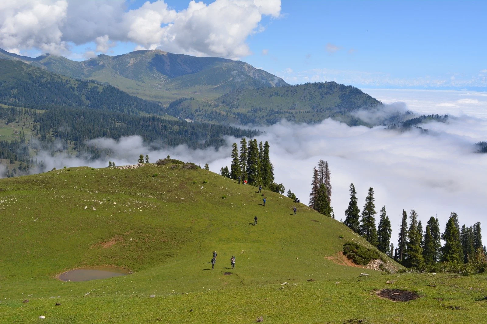
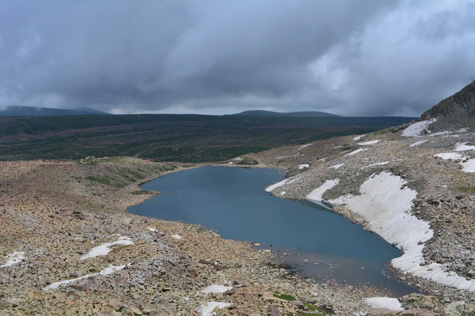
Kashmir Greater Lakes

WhatsApp Image 2024-03-21 at 17.29.20_59e9e507.jpg
WhatsApp Image 2024-03-21 at 17.29.21_4d7b6f4f.jpg
WhatsApp Image 2024-03-21 at 17.29.21_2233d241.jpg
WhatsApp Image 2024-03-21 at 17.29.22_3ba439c7.jpg
WhatsApp Image 2024-03-21 at 17.29.22_b32c8088.jpg
WhatsApp Image 2024-03-21 at 17.29.23_bfce2199.jpg
WhatsApp Image 2024-03-21 at 17.29.24_913f8f24.jpg
WhatsApp Image 2024-03-21 at 17.29.24_c75f7bcd.jpg
WhatsApp Image 2024-03-21 at 17.29.25_606eadc3.jpg
WhatsApp Image 2024-03-21 at 17.29.25_de36dd77.jpg
WhatsApp Image 2024-03-21 at 17.29.26_a93d8240.jpg
WhatsApp Image 2024-03-21 at 17.29.26_e9b82625.jpg
WhatsApp Image 2024-03-21 at 17.29.27_167eb35e.jpg
WhatsApp Image 2024-03-21 at 17.29.27_a8709c7e.jpg
WhatsApp Image 2024-03-21 at 17.29.28_6ec9c4da.jpg
WhatsApp Image 2024-03-21 at 17.29.28_b4981ec6.jpg
WhatsApp Image 2024-03-21 at 17.29.29_a79e4fb5.jpg
WhatsApp Image 2024-03-21 at 17.29.29_f562720f.jpg
WhatsApp Image 2024-03-21 at 18.26.11_7e965e16.jpg

Wild Himalaya

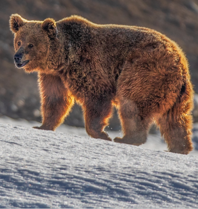
Our Wild Himalaya Adventure in collaboration with Roots Ladakh where we track Black Bears and Markhors in Kashmir and Himalayan Brown Bears in the Drass Region of Ladakh.

brown-bear.png

Changthang

A place of immense beauty amidst desolation of the Tibetan Plateau. A place devoid of most human in habitation except for the Pashmina Goat rearing Changpas. With an average altitude of above 4000m it stretches from Tibet into Ladakh.

The Changthang is home surprisingly to a large number of wildlife species including the Snow Leopard, the Tibetan Wild Ass, the Chiru etc. The Indus flows through the Changthang and it includes a number of wetlands and marshes which attract migratory birds such as the Black Necked Crane and the Bar Headed Geese.

The Changthang
The Changthang

Somewhere on the wide expanse of the Changthang

The Tso Moriri
The Tso Moriri

The Tso Moriri Lakes with snow covered Mountains in the background.

47575827_762828734071480_4103061547260051456_n.jpg
48414880_10214962208302368_2068059257336496128_n.jpg

Bagtore-Gurez

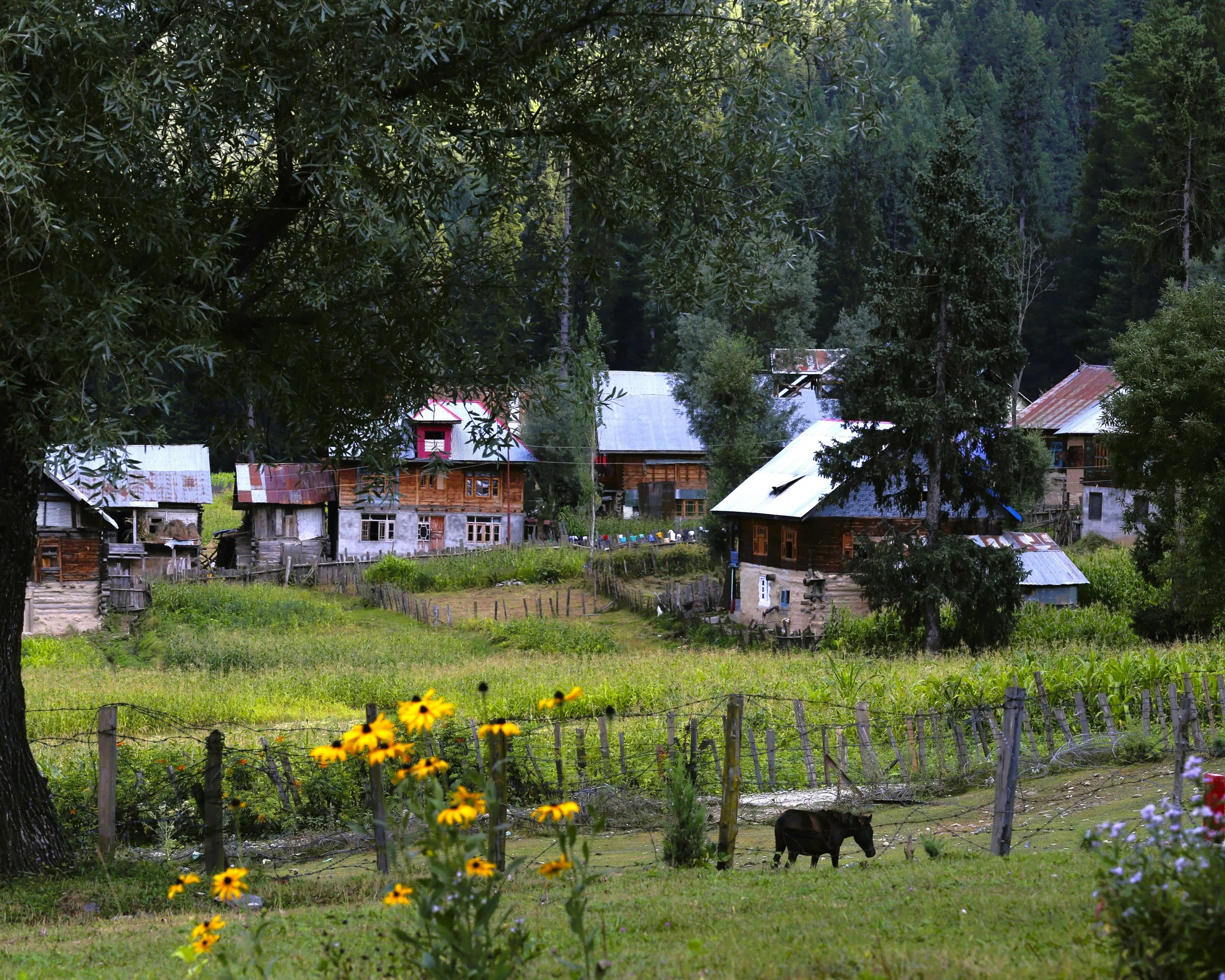
Idyllic Bagtore Village

A picture perfect scene in Bagtore

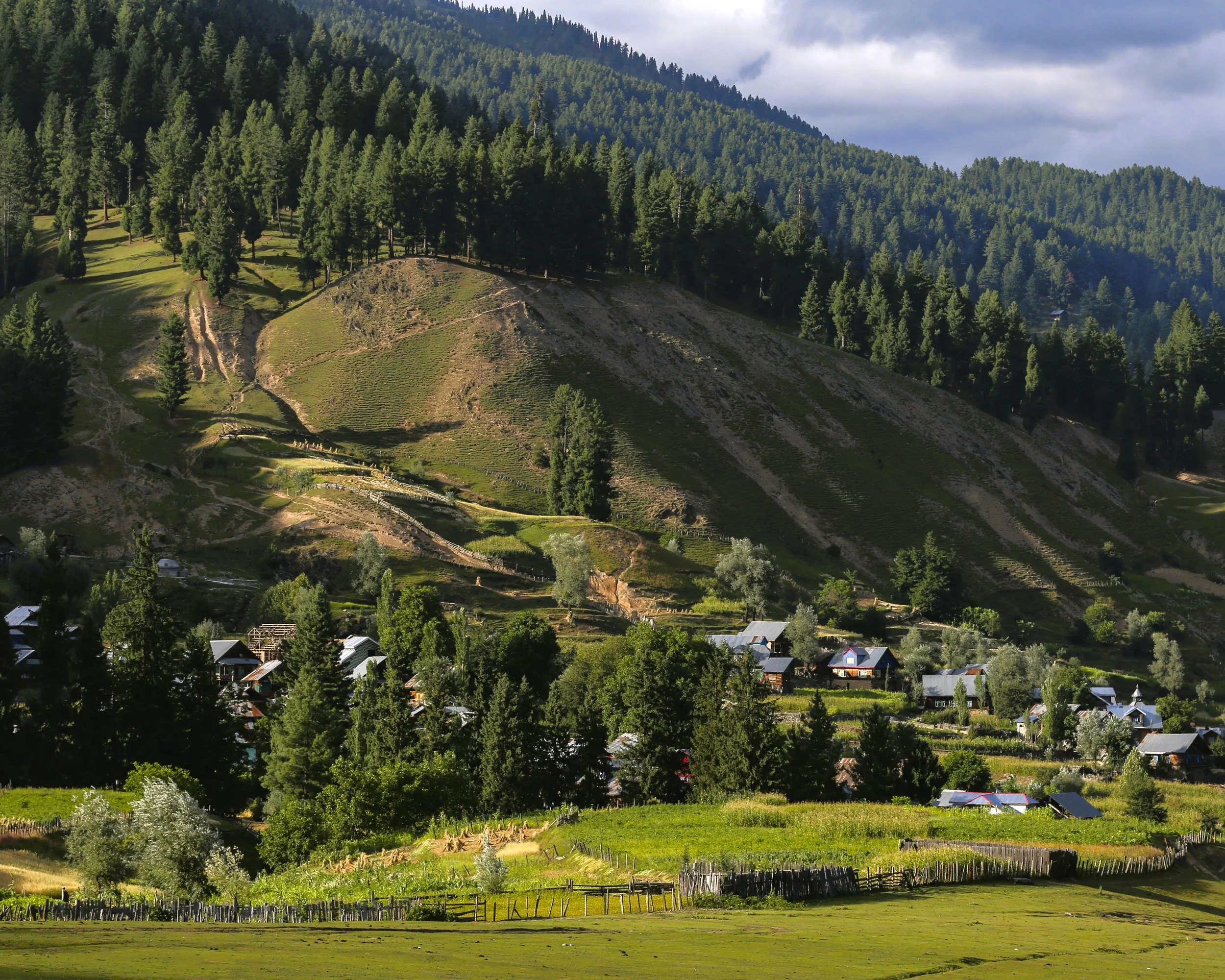
Bagtore Village in Gurez

Bagtore Village in Gurez

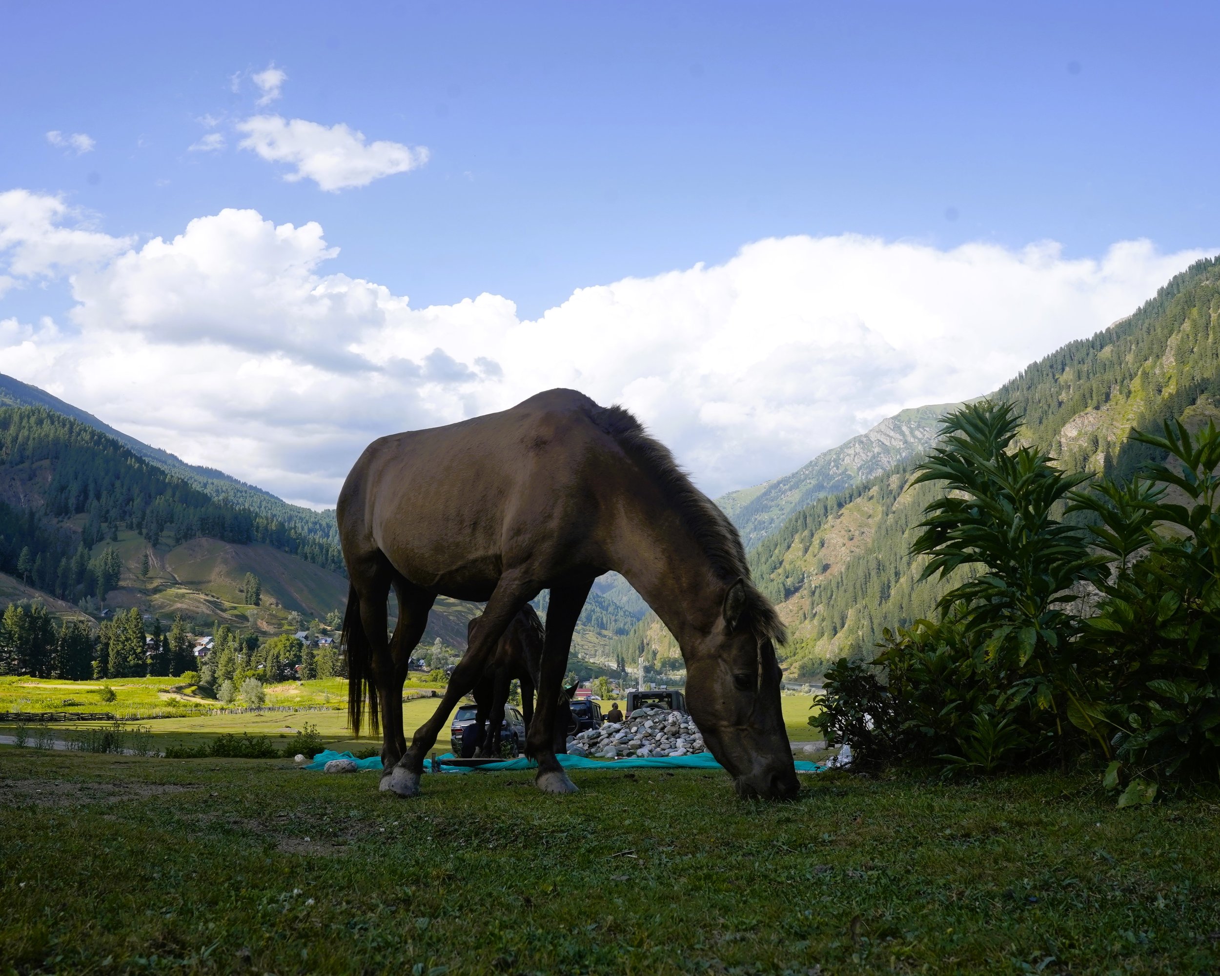
A Horse Grazing in Bagtore in Gurez

A Horse Grazing in Bagtore in Gurez

Beyond the Ridge lies the LOC in Bagtore in Gurez

Beyond the Ridge lies the LOC in Bagtore in Gurez

bagtore-12.JPG
bagtore-17.JPG
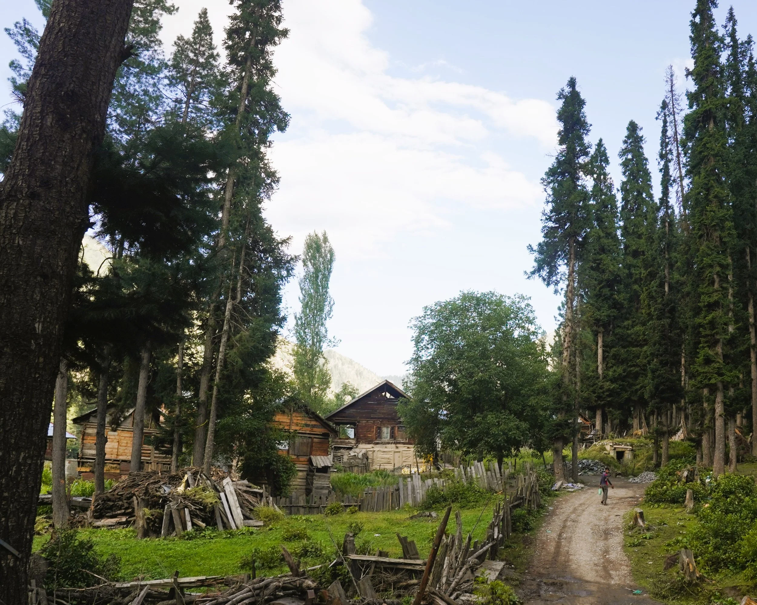
The Road to Bagtore in Gurez

The Road to Bagtore in Gurez

Another view of Bagtore in Gurez

Another view of Bagtore in Gurez

A Panoramic view of the Bagtore Maidan

A Panoramic view of the Bagtore Maidan

Keran

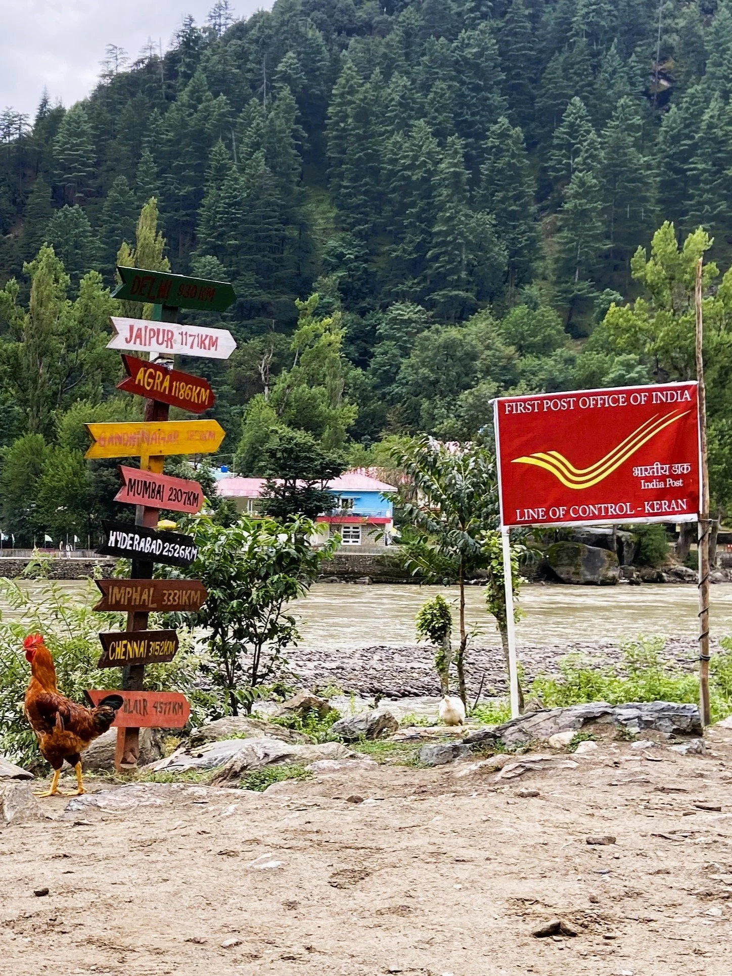
Keran is a Village which lies divided right on the Line of Control with one part in India in the Kupwara District of Jammu and Kashmir and the other part in Pakistan Occupied Kashmir. And the River Kishanganga (called Neelum by the other side) runs through it.

It is currently an Offbeat Tourist attraction since the Government has been promoting Border Tourism along the LOC in North Kashmir. Keran is located across the Shamshabari Mountains which one has to cross across the Firkiyan / Firkin / Pharkiyan Gali.

At Keran one can view life across the LOC and the Resorts built on th other side of the Line of Control.

Keran : The Village of Keran is said to have been established by Raja Bahadur Khan in the tenth Century. Also located on the banks of the Kishenganaga River, Keran enjoys a majestic view. To reach Keran Valley one has to Pass through the Firkin Gali. It is 37 kilometers towards West from Kupwara. 89 kilometers from Kralpora and 118 kilometers from the state Capital Srinagar. One the way to Keran the other places of interest are Milyal, Raja Ram Mountains, Firkin Village, Kralpora, Trehgam and the Kheerbhawani Temple at Tikker, Kupwara.

From the Firkin Gali a Road link connects it with the Sadhna Top and is known for its mesmerizing and enchanting beauty on both sides of Kashmir. On the way one can witness the lush Green forests, Meadows, Streams and also the Ancient Architecture.

We arrange Tours for all the Offbeat Broder areas along the LOC . Check out this Link for Details : Kashmir LOC Experience

Keran Village
Keran Village

The Kishanganga or the Neelum which acts as the Boundary between Jammu and Kashmir on the Indian side and POK on the other side.

IMG_4273.JPG
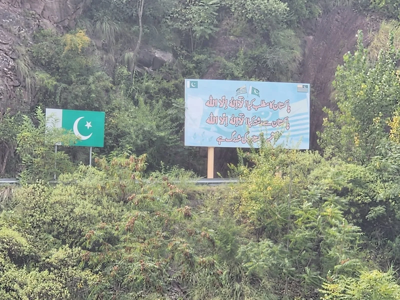
Signages in Keran on the banks of the Kishanganga which is called Neelum by our Neighbours.
Across the Kishanganga
_DSC5896.JPG
IMG_4296.JPG
IMG_4280.JPG
DSC09304.JPG
IMG_4477.JPG
_DSC5853.JPG
Keran.jpg
The Keran Village on the LoC

The Kera Village which is divided between India and Pakistan by the Kishanganga or the Neelum River.

IMG_4346.JPG
IMG_4494.JPG
IMG_7909.JPG

Kaman Post - Uri

The Kaman Post

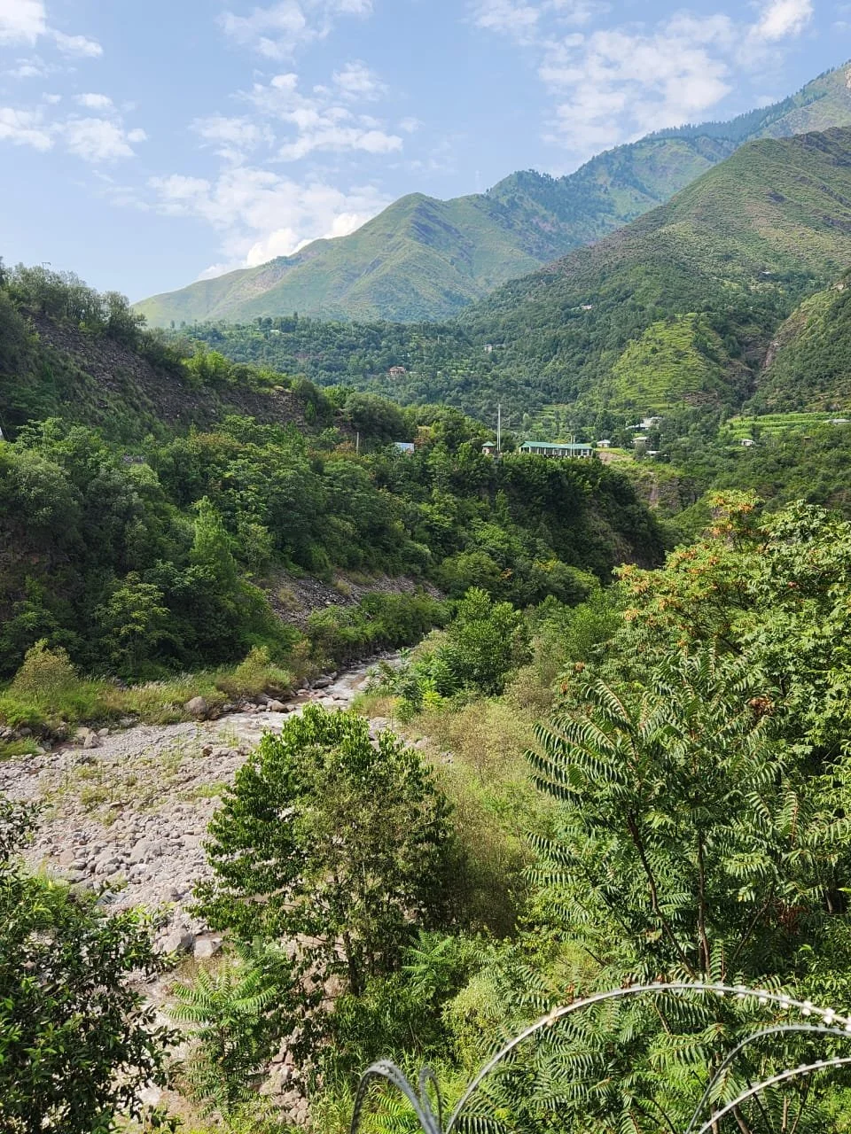
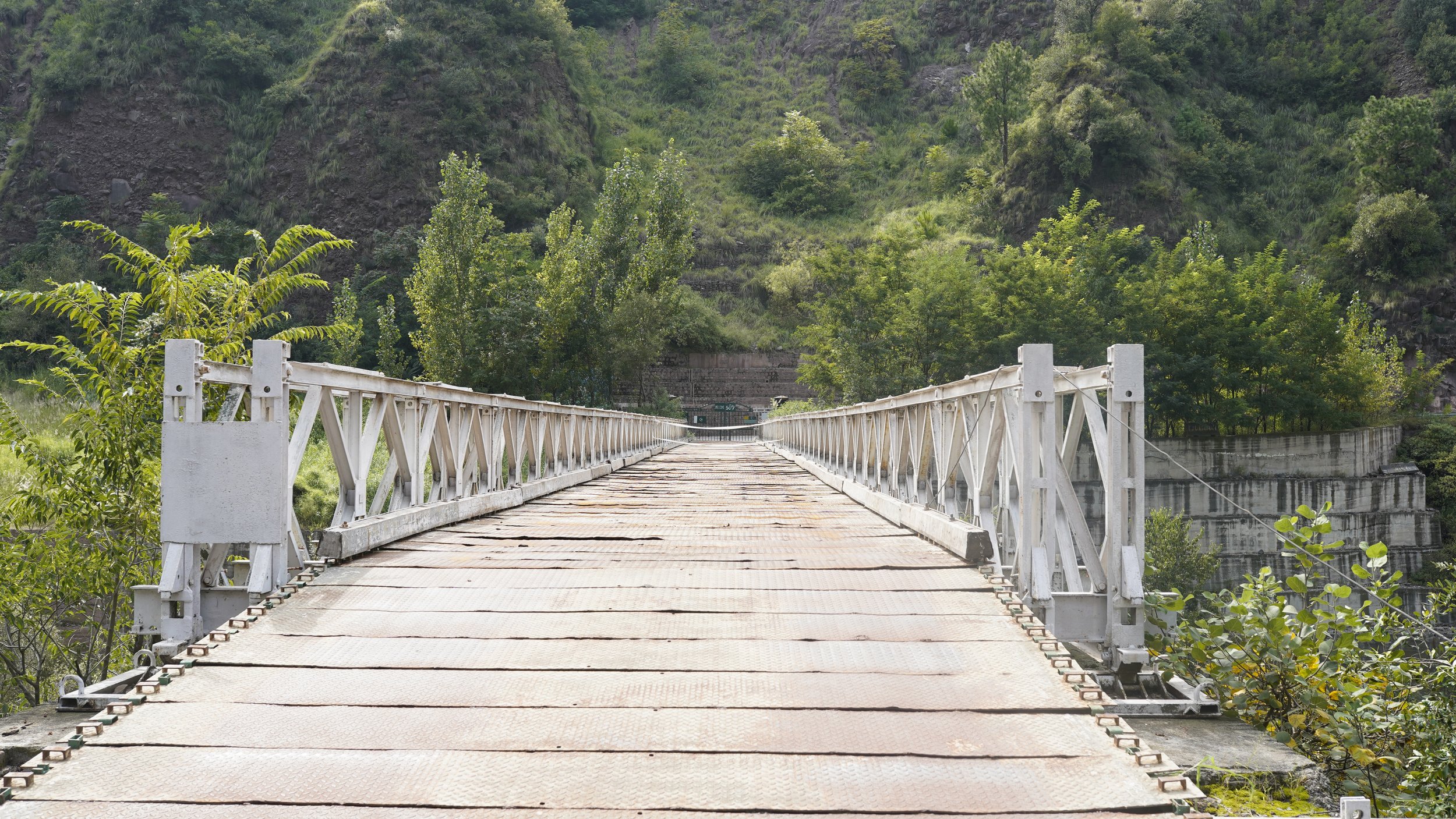
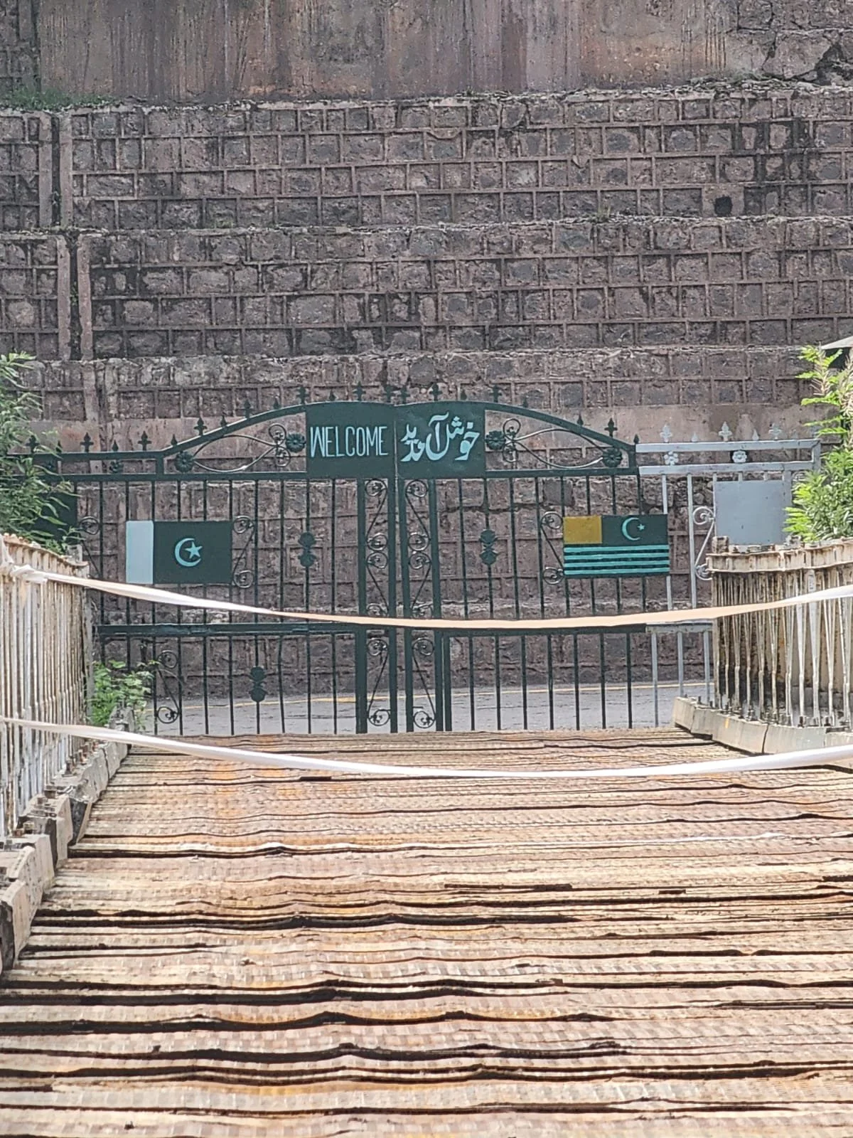
Kaman Post, also known as the Bridge of Peace (Aman Setu), is a fascinating and symbolic landmark located in the Uri sector of Baramulla district, Jammu and Kashmir, India. It sits right on the Line of Control (LoC) with Pakistan, marking the westernmost point of Indian-administered Kashmir.

Kaman Post holds a significant place in recent Indian history. Initially a strategic military outpost for decades, it was transformed into a symbol of hope and peace with the opening of the Kaman Bridge across the LoC in 2007. This bridge, also known as the Aman Setu ("Bridge of Peace"), served as a vital crossing point for divided families separated by the partition of India and Pakistan in 1947. Witnessing countless emotional reunions, it became a potent symbol of reconciliation and a beacon of hope for lasting peace in the region.

In recent years, Kaman Post has undergone a remarkable transformation, transitioning from a purely military zone to a popular tourist destination. The Indian Army has played a crucial role in this shift, revamping the area with a focus on visitor experience. Here are some highlights of what visitors can expect at Kaman Post today:

Panoramic views: The post offers stunning vistas of the surrounding mountains and valleys, providing breathtaking scenery for photography and nature enthusiasts.

Patriotic atmosphere: A 50-foot-tall Indian flag proudly flutters at the post, instilling a sense of national pride and patriotism.

Sightseeing facilities: Viewpoints equipped with binoculars allow visitors to get a closer look at the terrain and the Pakistani side of the border.

Information kiosk: A kiosk provides visitors with historical and cultural information about the region and the significance of Kaman Post.

Relaxation and refreshments: A cafeteria and souvenir shop cater to the needs of tourists, offering a comfortable space to relax and purchase mementos.

The opening of Kaman Post to the public has not only boosted tourism in the region but also fostered hope for continued peace and cooperation between India and Pakistan. It serves as a testament to the power of human connection and the enduring desire for peace, making it a truly unique and inspiring place to visit.

If you're planning a trip to Jammu and Kashmir, Kaman Post should definitely be on your itinerary. It's a place where history, breathtaking scenery, and a hopeful vision for the future converge, offering an experience unlike any other.

On the way to Aman Setu at Kaman Post

On the way to Aman Setu at Kaman Post

A Signboard on the other side of LoC as seen from Kaman Post Aman Setu

A signboard showing the distances to Chakothi, Muzzafarabad, Islamabad and Peshawar as seen from the Kaman Post Aman Setu. So close yet so far

1-1.jpg
Across the LoC at Kaman Post and Aman Setu

Across the LoC at Kaman Post and Aman Setu

The view across the LoC at seen rom the Aman Setu at the Kaman Post

The view across the LoC at seen rom the Aman Setu at the Kaman Post

The Aman Setu
The Aman Setu

The Aman Setu at Kaman Post

uri9.jpg
A Signage indicating distances to Towns on either side of the LoC at the Aman Setu at Kaman Post

A Signage indicating distances to Towns on either side of the LoC at the Aman Setu at Kaman Post

uri-23.jpg
As see across the Aman Setu at the Kaman Post

As see across the Aman Setu at the Kaman Post

Kargil

DSC00207.jpg
DSC09769.jpg
DSC00225.jpg
DSC00257.jpg
DSC09943.jpg
DSC09930.jpg
DSC09874.jpg
DSC09956.jpg
DSC09973.jpg

Tosa Maidan

Tosa-Maidan.jpg

Pir Panjals

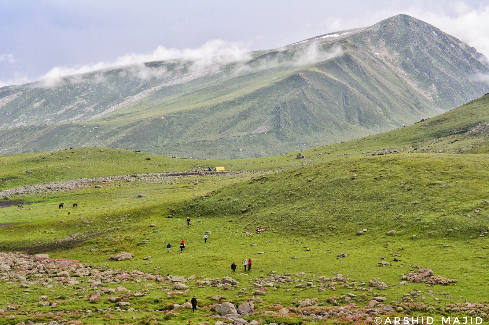
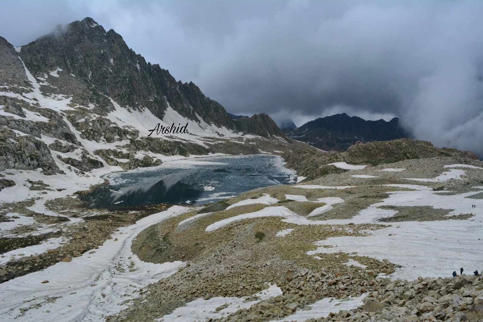
The Pir Panjals is a subsidary Range of the Himalaya which stretches from the Beas River near the Rohtang Pass all the way to the Kishanganga in Western Kashmir. It forms the Southern Boundary of the Kashmir Valley. Some select pics of this beautiful Range from Kashmir.
Pic 1 - The Pir Ki Gali Pass

Pic 2 - The Pir Panjals in the background of the Dal Lake and Hazratbal Shrine in Srinagar, Kashmir

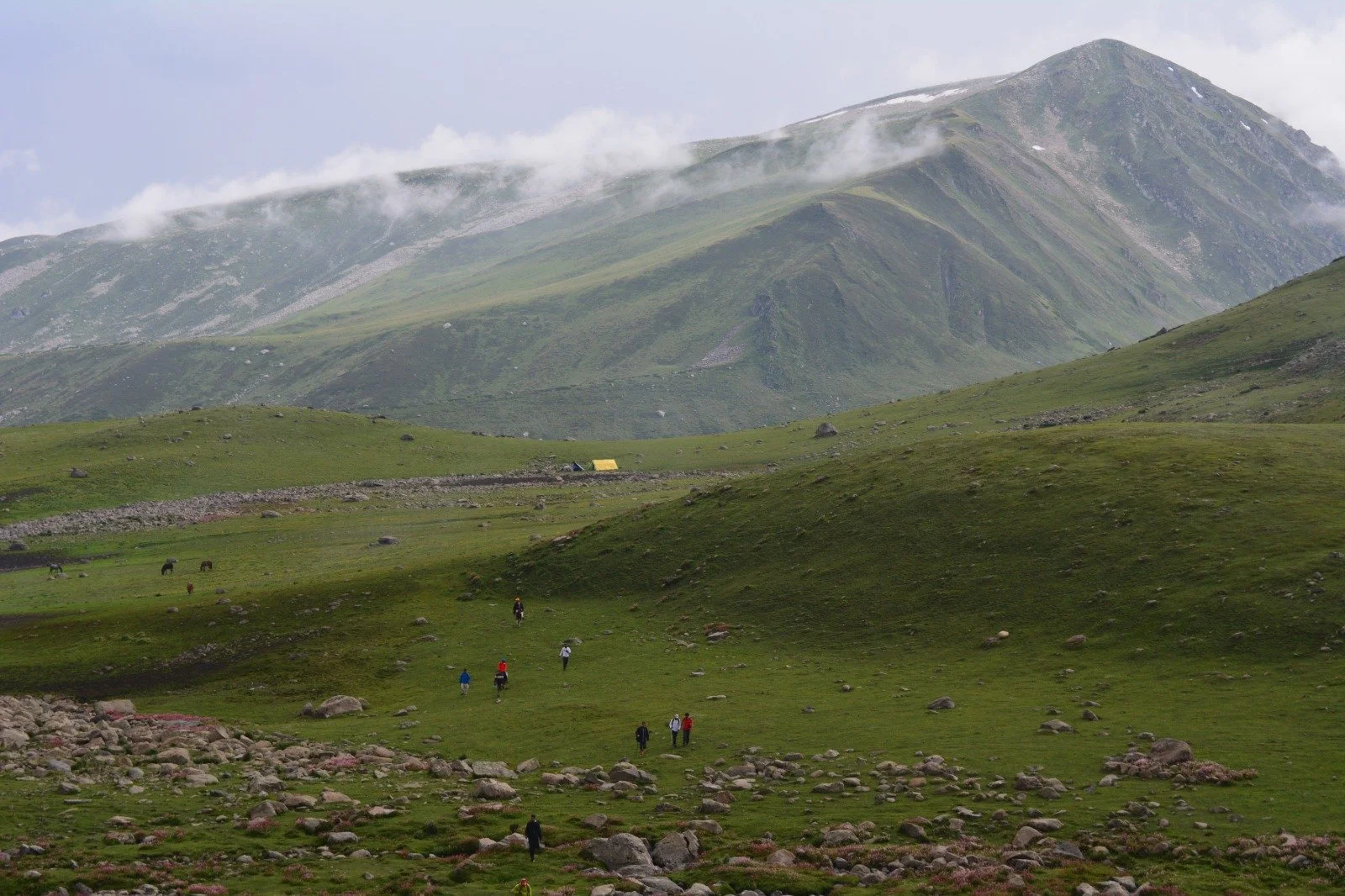
Pic 3 - A Rolling Grass Meadow high in the Pir Panjals

The Pir Ki Gali Pass

The Pir Ki Gali Pass connects the Shopian District in the Kashmir Division with the Poonch District in the Jammu Division

The Pir Panjals in the background of the Dal Lake and Hazratbal Shrine in Srinagar, Kashmir

The Pir Panjals in the background of the Dal Lake and Hazratbal Shrine in Srinagar, Kashmir.

A Rolling Grass Meadow high in the Pir Panjals

One of the Rolling Meadows in the Pir Panjals

Kaobal Gali

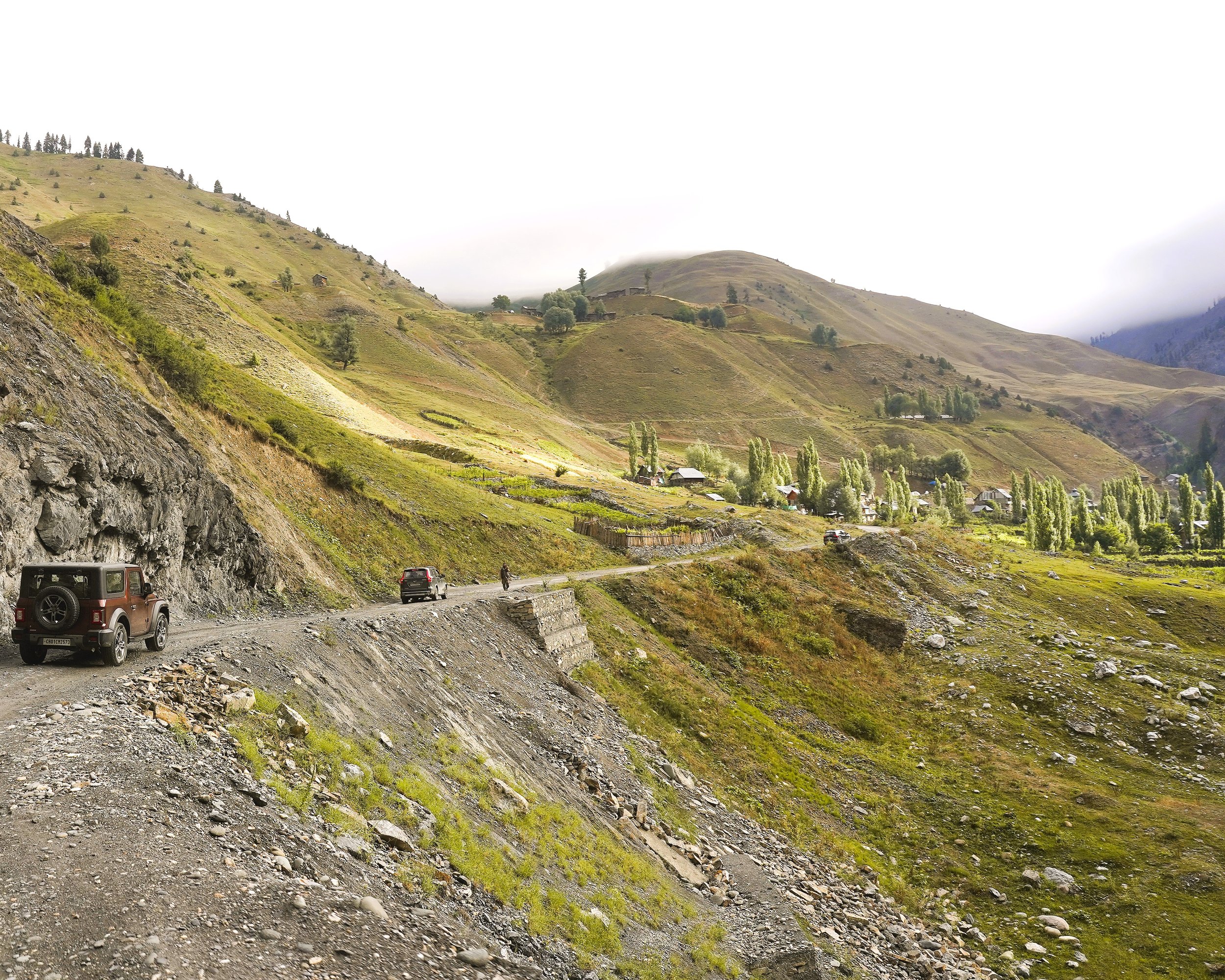
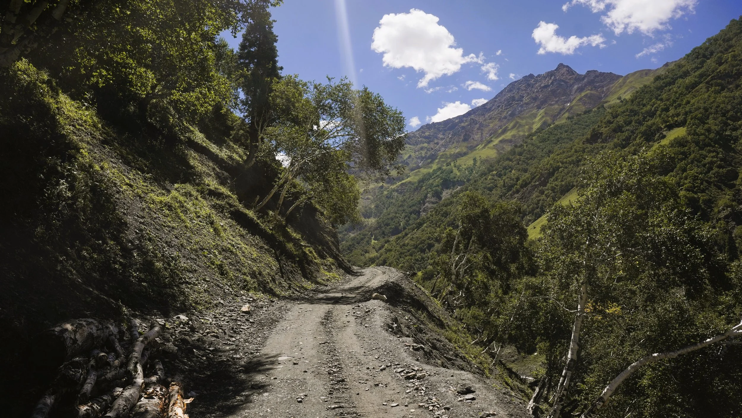
On the way to Kaobal Gali in Gurez

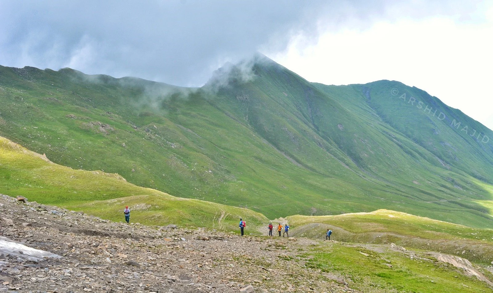
On the way to Kaobal Gali in Gurez which connects Gurez with Zanskar

On the way to Kaobal Gali in Gurez

On the way to Kaobal Gali in Gurez which connects Gurez with Zanskar

On the way to Kaobal Gali in Gurez (Copy)

On the way to Kaobal Gali in Gurez which connects Gurez with Zanskar

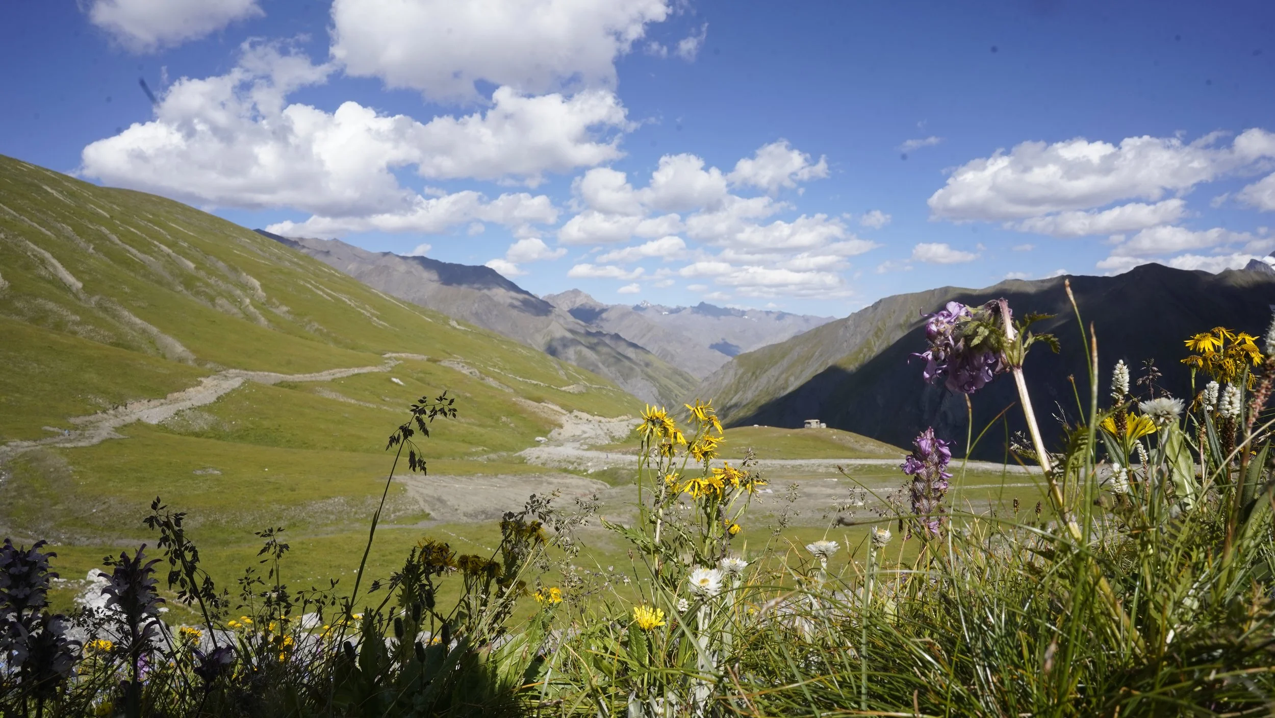
Looking towards the Trans Himalayan Mountains of Drass, Ladakh

Looking towards the Trans Himalayan Mountains of Drass, Ladakh

prev / next
Back to Himalayan Destinations & Locations
20240627_180214.jpg
0
Suru Valley : National Geographic's Best Places to Visit in 2025
_DSC6942.JPG
0
Kashmir Border - LOC Tourism
The Zangal Fort in Zanskar
7
Zanskar 2024
7
Zanskar-Suru
7.jpg
5
Teethwal Tangdhar
lolab2.jpg
5
Lolab
gurez.jpg
3
Gurez
19
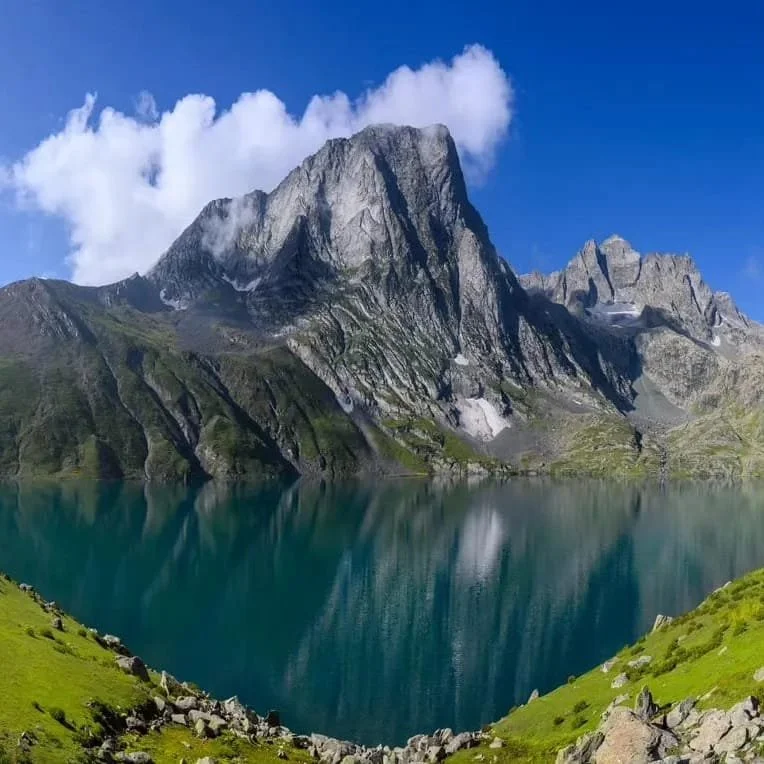
Kashmir Greater Lakes
brown-bear.png
1
Wild Himalaya
DSC07274.jpg
4
Changthang
bagtore 1.JPG
9
Bagtore-Gurez
aaa.JPG
15
Keran
uri-22.jpg
10
Kaman Post - Uri
9
Kargil
1
Tosa Maidan
276229037_2309886859158492_2204400939655947925_n.jpg
3
Pir Panjals
On the way to Kaobal Gali in Gurez
4
Kaobal Gali

Order Authentic Pahadi Products from our Whats App Catalog

https://wa.me/c/919205892288

POWERED BY SQUARESPACE