Lolab and Bangus
Kashmir Offbeat : Lolab and Bangus
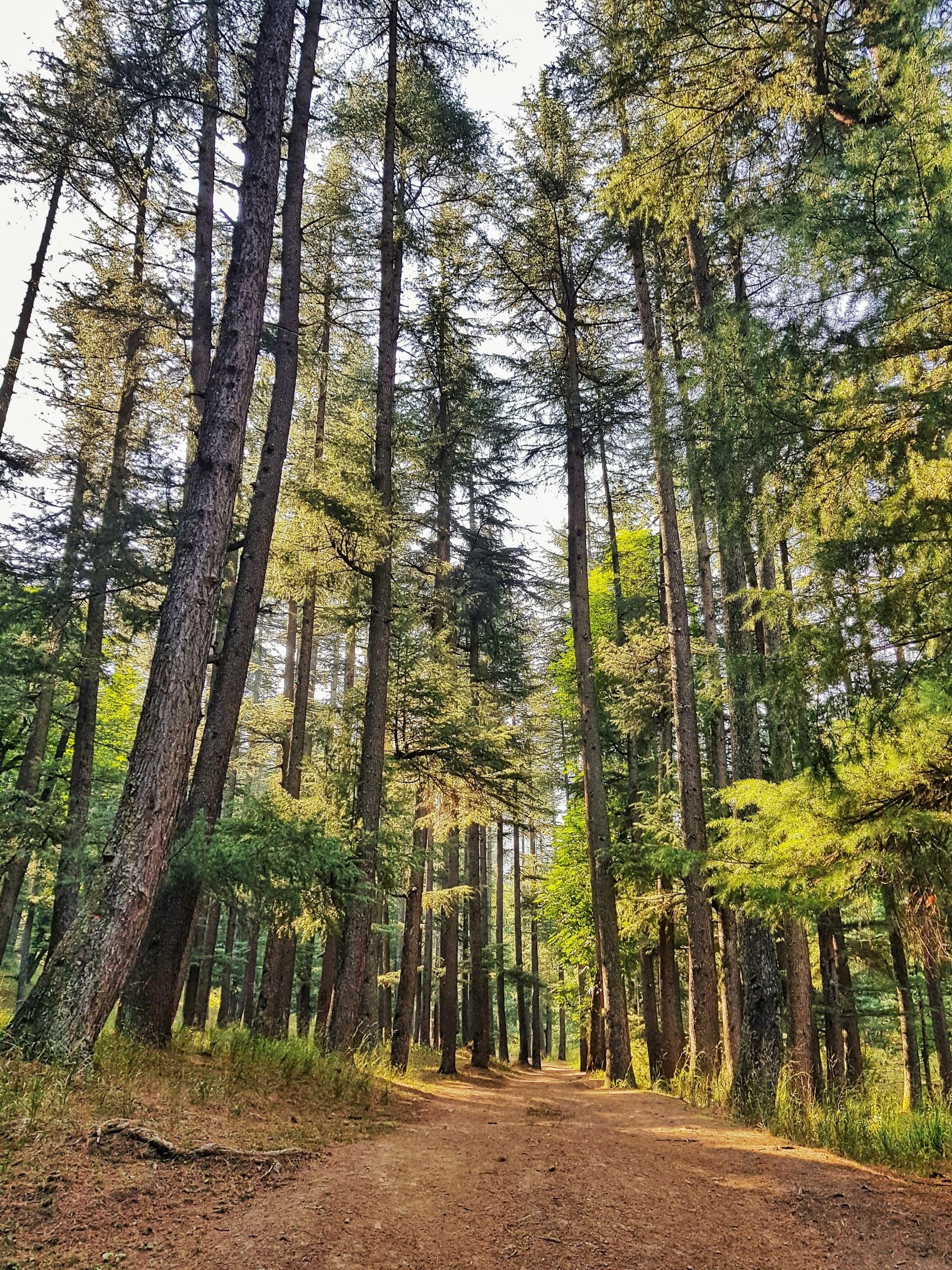
Lolab Valley : The Lolab Valley is named after the Maharaja Lolo is a very beautiful Valley known for its lush Green Trees and Pastures, stretches about 25 kms from the North West and South West varying in breadth from a few yards to almost 5 kms wide. It is traversed by a considerable Stream known as the Lalkul (Lahwal). The Water to the Lalkul is contributed by a number of tributaries flowing from the surrounding Hills which are clothed by dense Forests of Deodar. There are Eleven Ponds in the Valley with an average depth of 7 to 15 feet and are unique in themselves. Varnow Village in the Lolab Valley is of historical importance because of being the birthplace of Allama Anwar Shah Kashmiri. Lolab Valley today has a well developed infrastructure and good connectivity with the rest of the Region. Some of the other renowned places with tremendous potential are Chandigam, Dooruswani, Khurhama, Krusan, Khomrial, Nagsari and Cherkoot.
As per the Gazetteer Lolab - A pargana comprising a beautiful and very fertile valley, situated on the north-east side of Kashmir ; the tahsil station is at Lalpur. Tlle valley is oval in shape, and its surface is elevated and undulating; it stretcher about 15 miles north-west and south-east, varying in breadth from .few hundred yards to about 3 miles. It is traversed by a considerable stream called the Lahwal, and is intersected in all directions by its numerous tributaries, which flow down from the surrounding Hills, which are clothed by dense forests of deodar. North of the Sharibal mountain the valley is thickly covered with jungle and has little Cultivation. On the north side the wudar or the table-land is very strongly marked, and in two places it extends across the valley, the road passing through a narrow defile. This Table-Land is covered with thick pine forest, and a few Gujar families are the only Inhabitants. There are extensive tracts of pasture In the Valley under the Hills and along the sides of the Spurs, and large number of ponies are grazed in the district. The Lolab valley contains about thirty villages, which are mostly situated in the midst of groves of chunar, apple, cherry, alu'cho, and peach trees.
There are eleven small lakes in the district, having an average depth of 3 or 34 feet. They are covered with weeds, and afford great shelter to waterfowl.
Vigne, in his description of the Lolab valley, observes that there is in the middle a large flat and circular space, a valley within the valley, the snuggest and most retired-looking region imaginable. This part of Lolab is about 5 1/2 miles in diameter, and a morass, that appears to have been formerly a lake, occupies the center; the sides are verdant, and more or less covered with jungle.
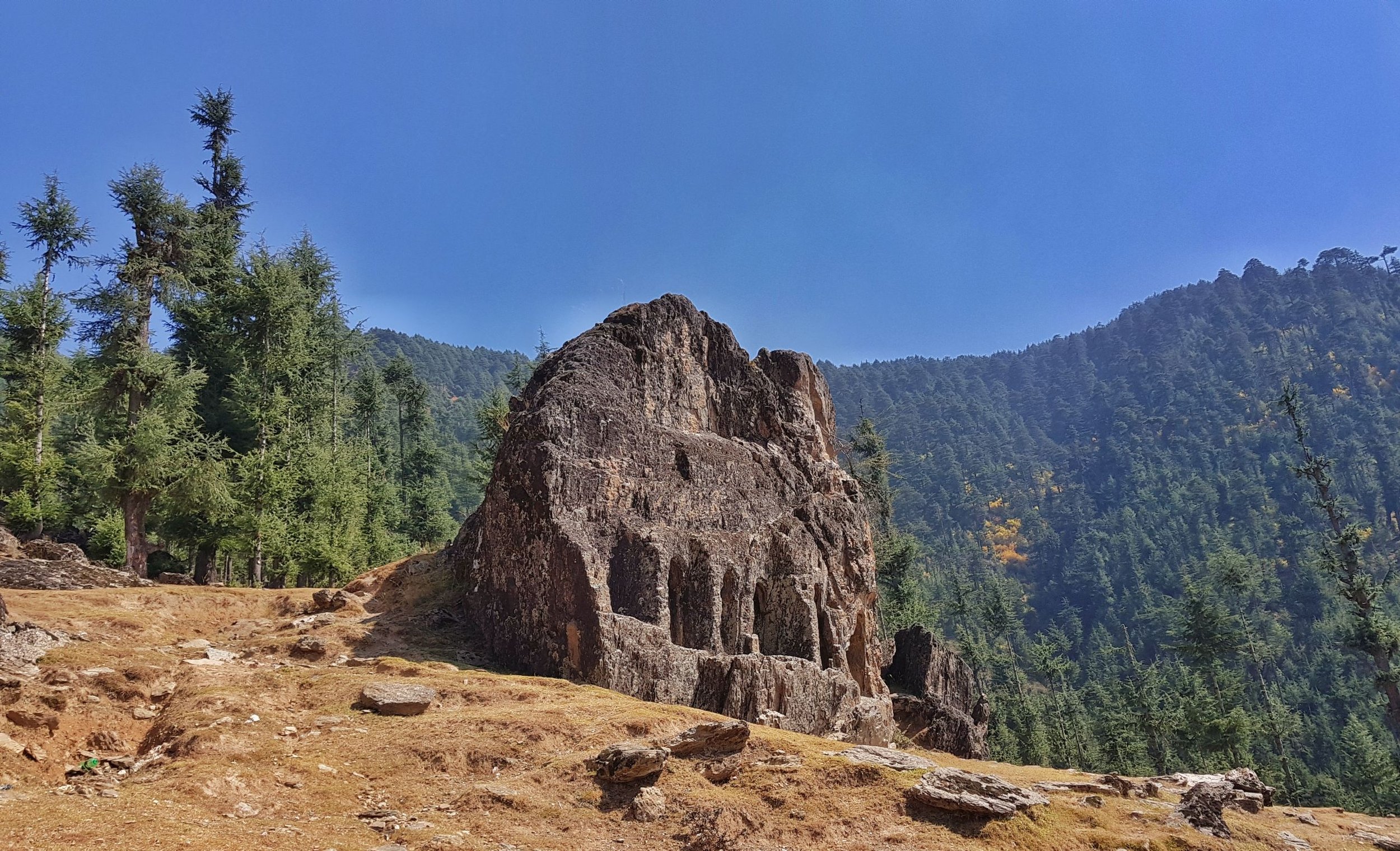
The Valley is also known for the Sat Baran (Seven Doors) and Caves in the jungles of Madmadav. The famous Lovnag is located in the Anderbaugh Village.
Lolab Valley also provides Road connectivity to Machil which is known for the Waterfall Rangil. Lolab Valley has not only been the area of attraction for the Bollywood fraternity but has been appreciated by Saints, Poets and Philosophers from Centuries together.
Seemab Valley : About 4 kms from the Tourist reception Center in Kupwara is located the Seemab Valley, on the entrance of the Lolab Valley. The Valley is home to a picturesque all year round water body called the Daal Kul. The Seemab Valley is surrounded by lush Green forests and therefore provides ample scope for day picnics. The Valley also holds a great potential for Adventure activities like Rock Climbing, Hiking and Trekking.
Sattabarran Kalaroos : A unique place where the Past meets the present of ancient architecture situated on the outskirts of Madmadav Village in Kalaroos area. About 19 kms from TRC Kupwara Sattabarran can be reached by Road upto Kalaroos and then 1.5 kms on foot. On the backside of the Sattabarran is a Cave which is believed to be the way to Central Asian States. While visiting Sattabarran the picturesque view of the Lolab Valley can also be enjoyed.
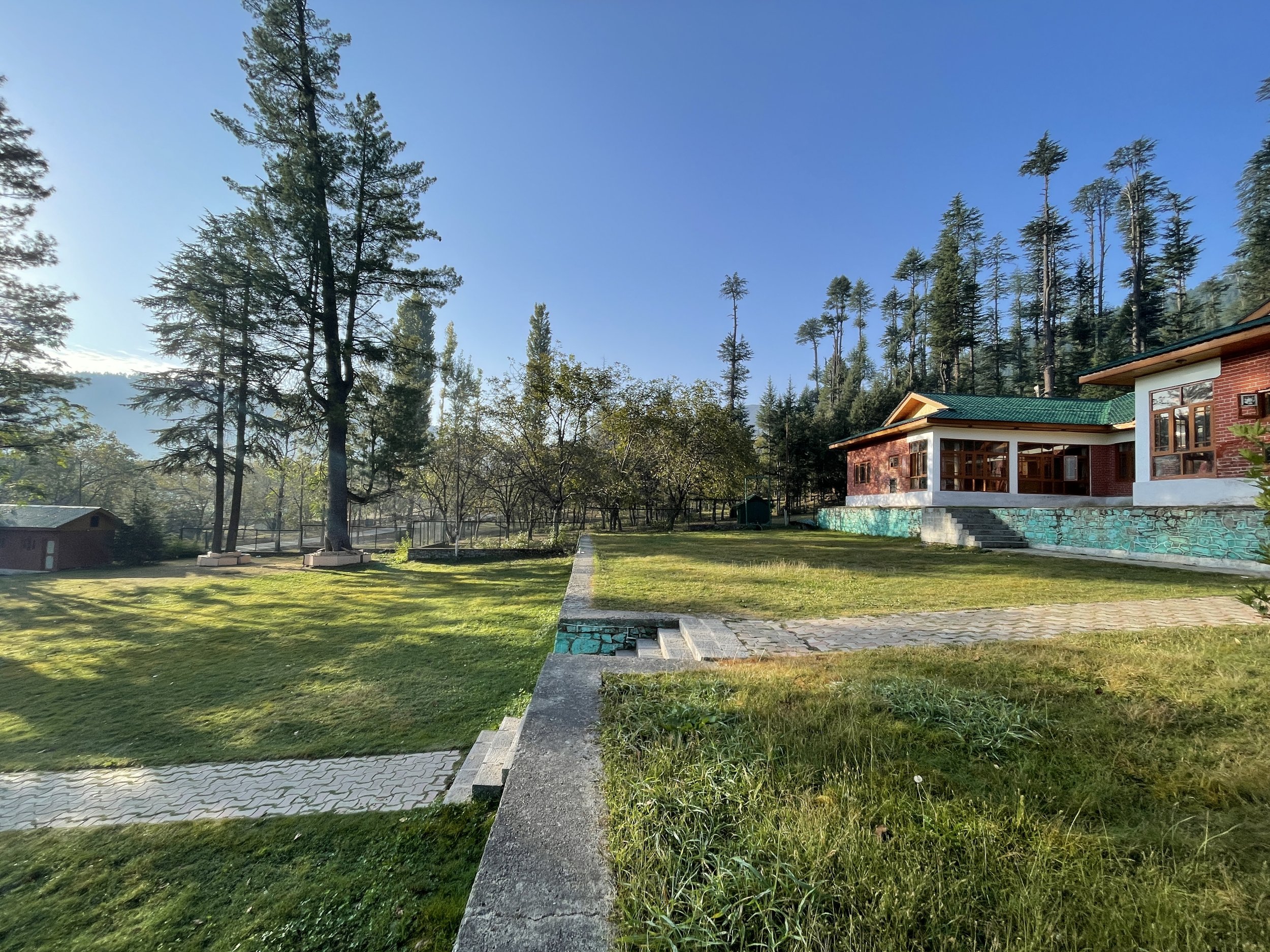
Chandigam : About 25 kms from TRC Kupwara is one of the best Tourist spots in the Lolab Valley. Having a macadamized Road network it is also utilised as a Camping site. The lush Green Jungles surrounding the Chandigam area provide ample scope for the Adventurous people for Trekking and Mountain Biking. 05 kms from Chandigam lies another beautiful Tourist spot by the name of Dooruswami. On the way to Dooruswami the traditional constructions such as thatched Houses can also be seen.
Rangwar Lalpora : About 26 kms from the TRC Kupwara Rangwar Lalpora is known for the pastures and lush green forests, wild flowers, and a stream flowing on its outskirts. On the way to Rangwar a Village by the name of the Krousen can also be reached where a Tourist hutment is available. Rangwar has big pastures which are used by the locals for Cattle grazing.
Bangus Valley : One of the relatively unknown areas of Kashmir with vast tourism potential is the Valley of Bangus. Lying within the Trans Himalayan Area, Bangus is a unique combination of ecological area, compromising Mountain Biome, which includes Grassland Biome with flora at lower altitudes, and Taiga or Coniferous forest.
As per the Gazetteer “Bangas -Lat 34' 22'. Long. 74' 5'. - A Valley in the mountains south-west of Shalurah, in which the Bangas stream, one of the headwaters of the Kamil River, rises. On the Bangas maidan there is an abundance of excellent grass in summer, and it is much frequented by Gujars.”
The Valley which lies at an altitude of around 10,000 ft above sea level, is in the northern part of district Kupwara within the Handwara sub-district. Occupying an area of 300 sq kms (20 x 15) the principal Valley locally known as Bod Bangus (Big Bangus) consists of a linear elliptical bowl aligned along the East West axis.
The Valley is surrounded by Rajwar and Mawar in the East, Shamsbari and Dajlungun Mountains in the West, Chowkibal and Karnah Gali in the North. A smaller side Valley known as Lokut Bangus (Small Bangus) lies on the north-eastern side of the Main Valley. Both the Valleys comprise level green meadows surrounded by low lying Mountains covered with dense Coniferous forests (Budloo) with a stream flowing through.
These Meadows are divided into two types - Plain Meadows and Plateaus. The Meadows and slopes of the side Plateaus are covered with a Range of Flowers and Medicinal plants. The Meadows support a rich variety of Grassland flora which had Medicinal value as well. A large part of the Plain within the Valley of Bangus is water locked, during the rainy Season. The Valley is traversed by a number of small streams whose number sources stand at 14. These include the Roshan Kul, Tillwan Kul and Douda Kul. The Valley is also fed by the Waters of the Qazinag and Satkulnag springs. The Water of the various streams in the Valley form one of the headwaters of the Kamil River which in turn joins the Lolab stream, thus forming the Pohru River.
Plain Meadows include the open Plains of Chota Bangus, Bod Bangus, Masjid Aagan, Nichan Reyan and Kiyind Patter. Tableland Meadows constitute about 60% of the Meadows. These include Bidran, Lashar, Dodhe, Gumre, Cheekta, Deeyar, Satkoul and Zanzer.
Credits : The text comes from JK Tourism Catalog and the Gazetteer of Kashmir and Ladakh 1890. Phot Credits to THPC, Black Top and Beyond and Escape Photography.


