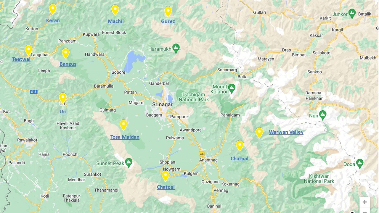
Ten Offbeat Locations in Kashmir
Kashmir, the Paradise on Earth as some call it hs been fortunate to have witnessed the arrival of Tourists in their thousands in the last few Years. Peak Seaon in the Summers when the Heat scorches the Plains hordes of Tourists rush North into the coller and rejuvenating climes of Kashmir.
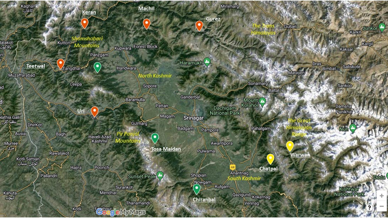
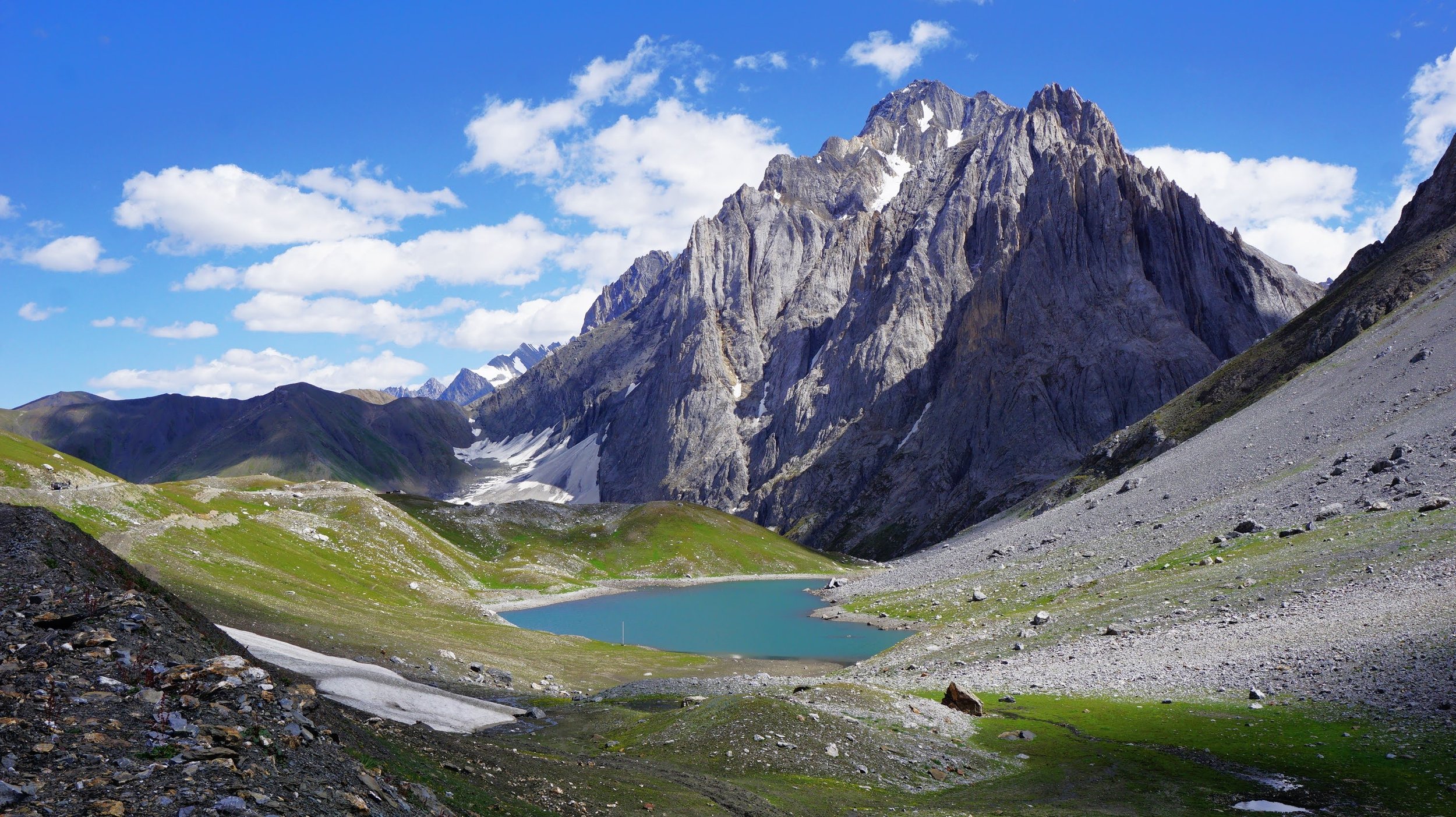
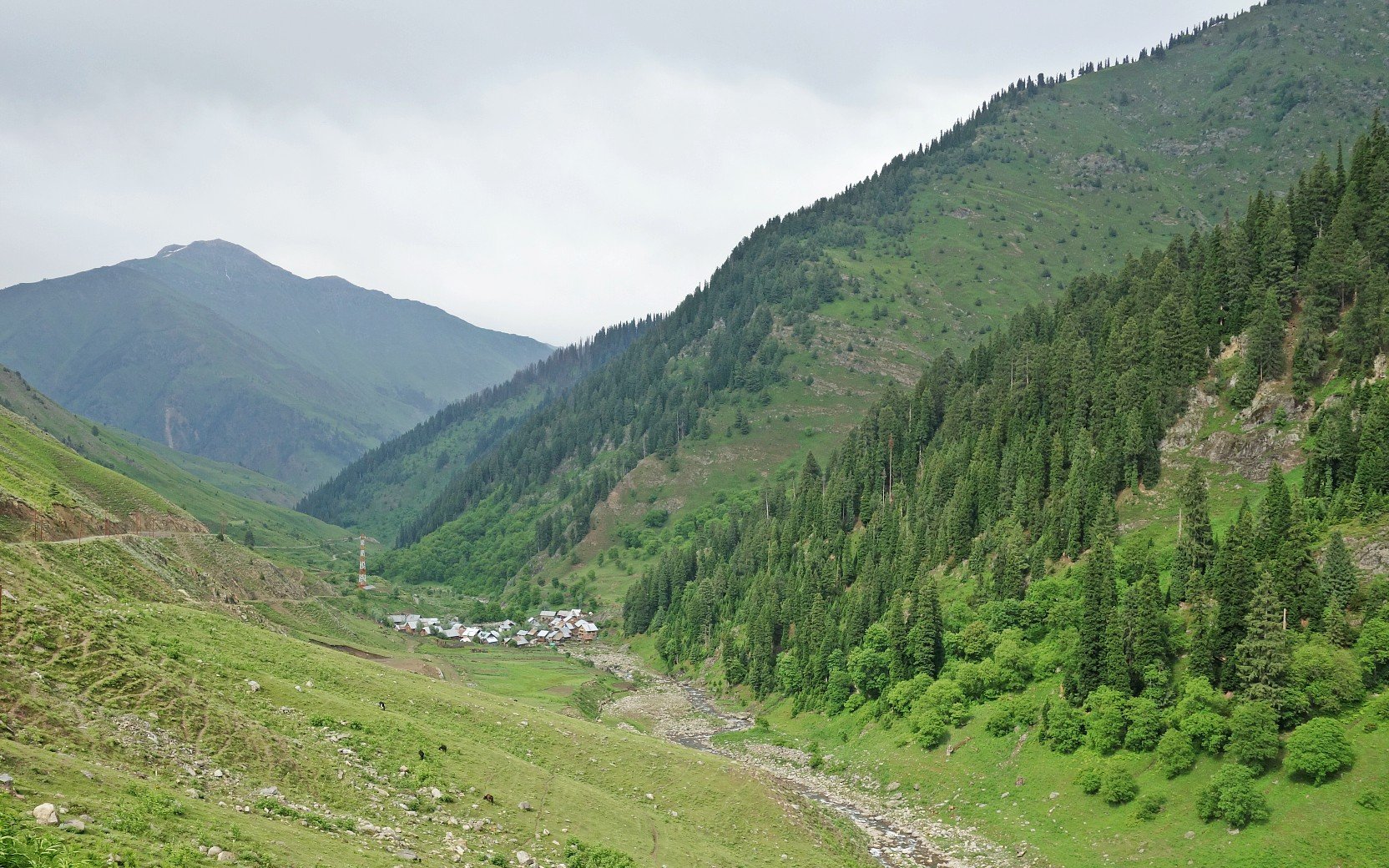
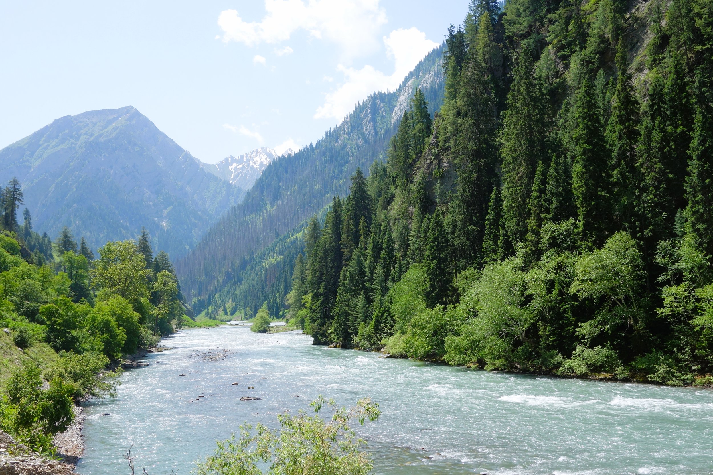
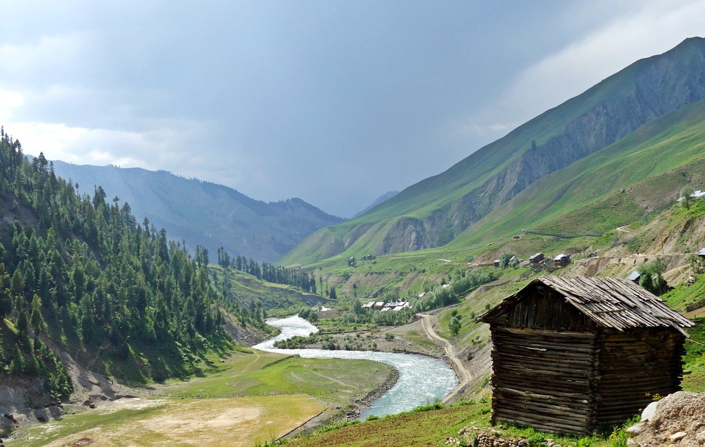
Warwan Valley
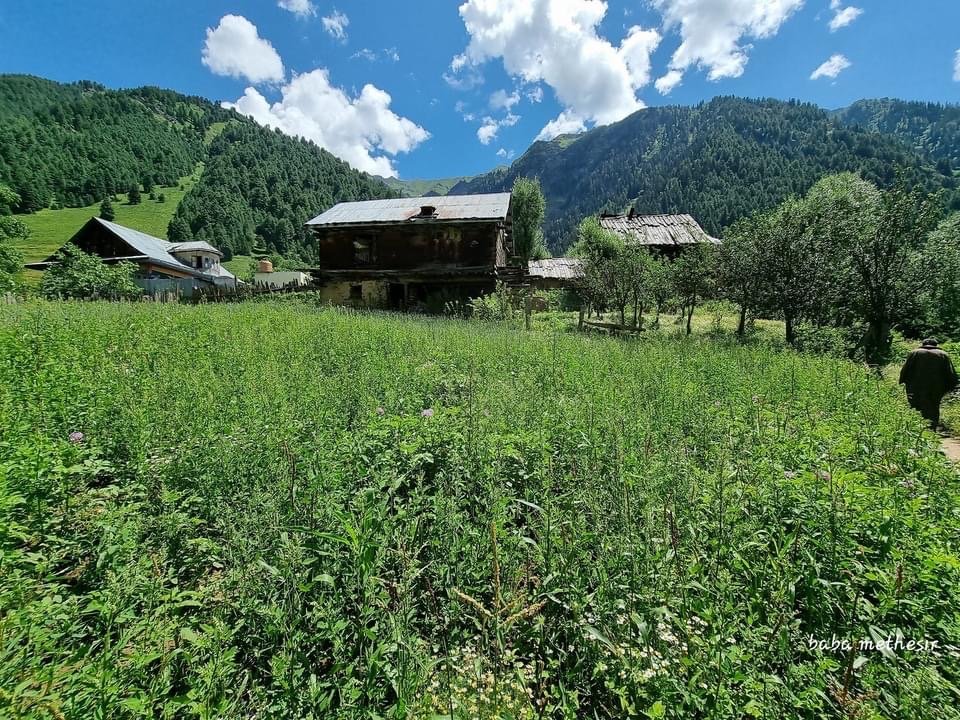
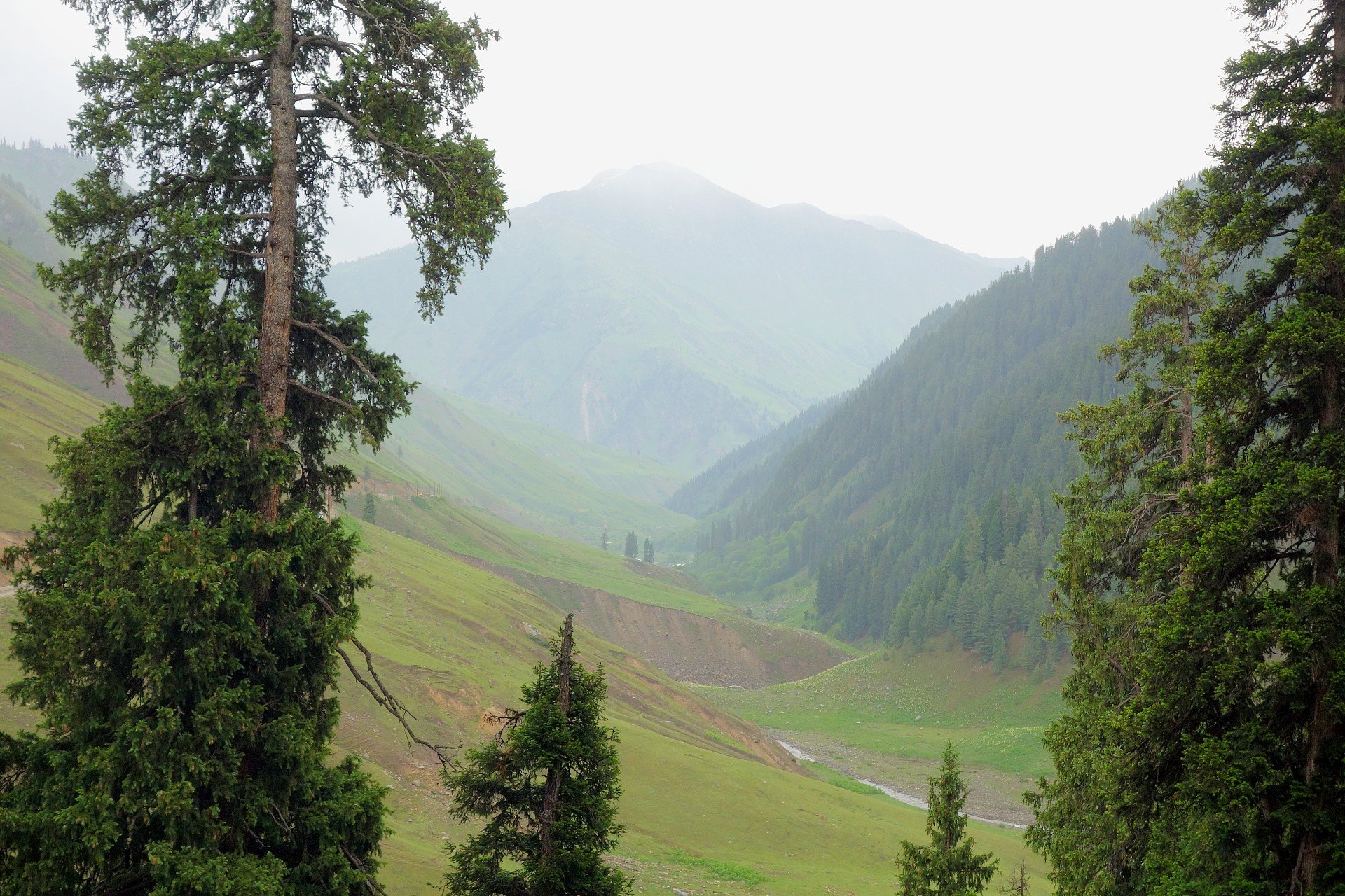
n the Inner Himalayas lies a beautiful Region so remote that most people haven't even heard of it forget about going there. Kishtwar itself is remote and always under the shadow of Kashmir but this part of Kishtwar which lies next to Kashmir on one side and the Suru Valley of Ladakh on the other side is probably one of the last great wildernesses in the Inner Himalayas. This is the Warwan- Marwah - Dachchan belt lies along the Maru Wadwan River or as its also known Warwan / Marwah (Marev) / Marsu Dhar River along different parts of its course, which is a major tributary of the Chenab. These three sub parts of this Region all lie along the same River and offer a rare insight into how people lived maybe many years ago. Sandwiched between the Pir Panjals and the Great Himalayan Range this is a Region few outsiders have set foot.


https://travelthehimalayas.com/kiki/warwan-marwah-dacchan-the-last-inner-himalayan-wilderness
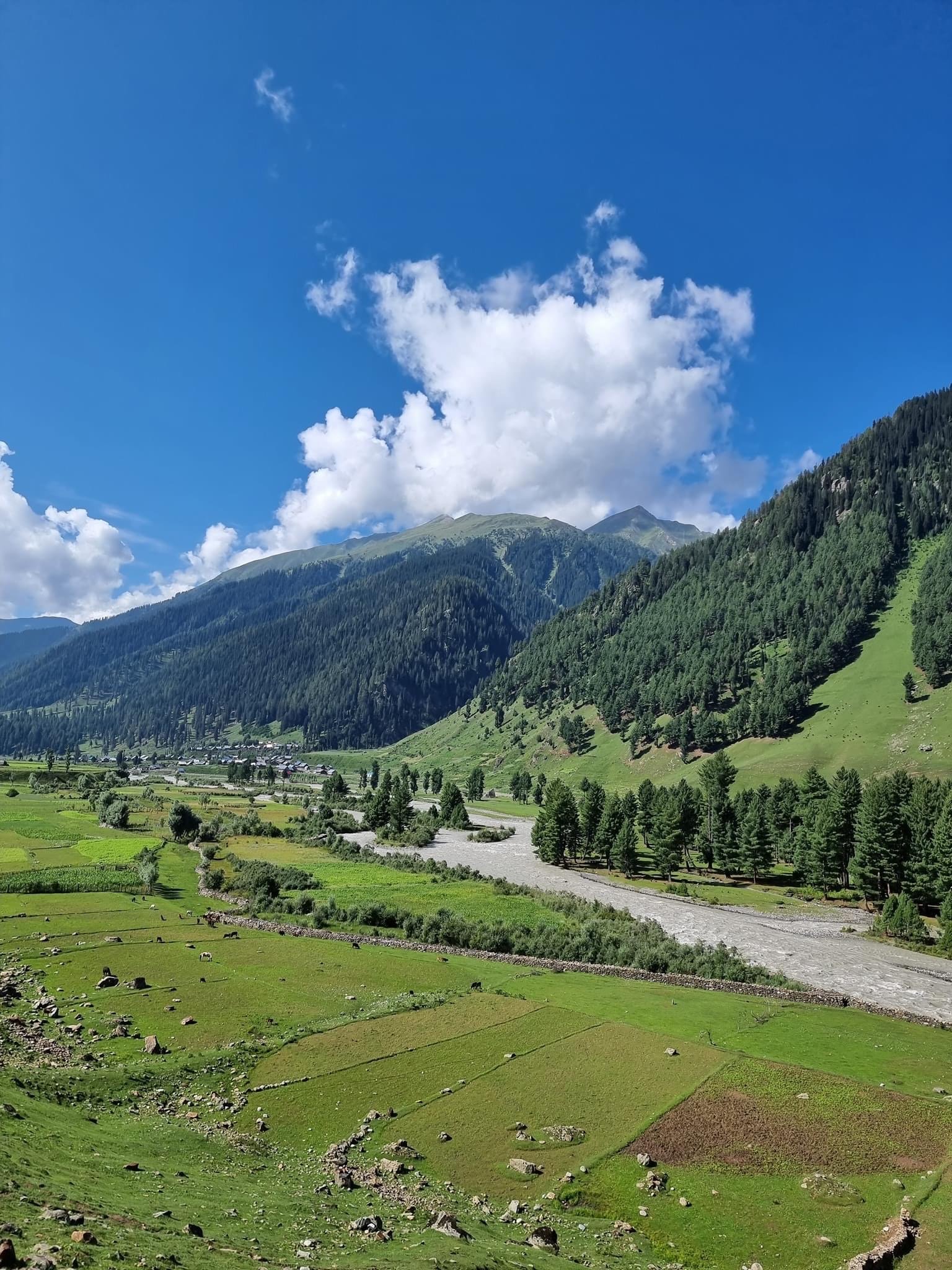
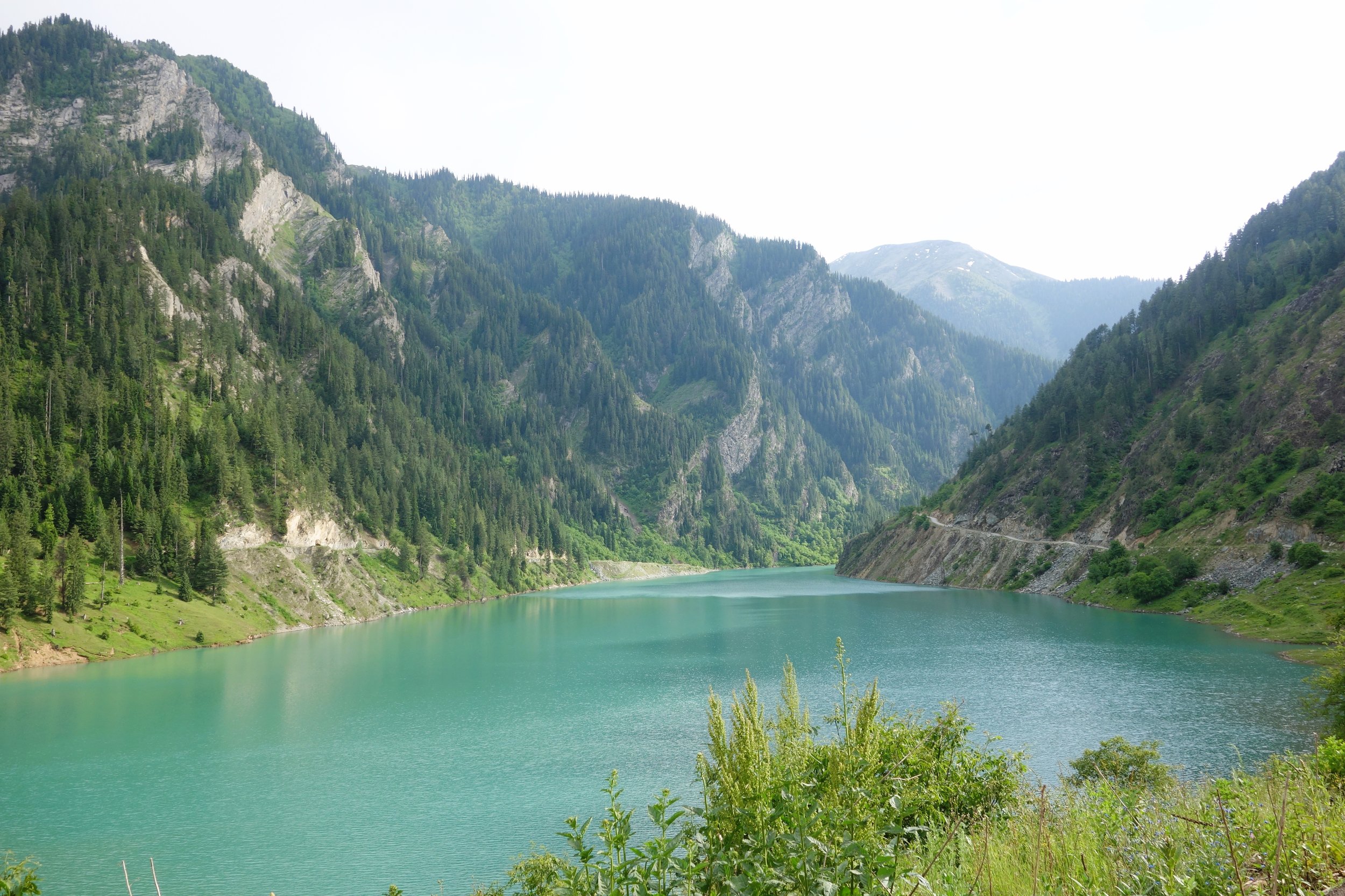
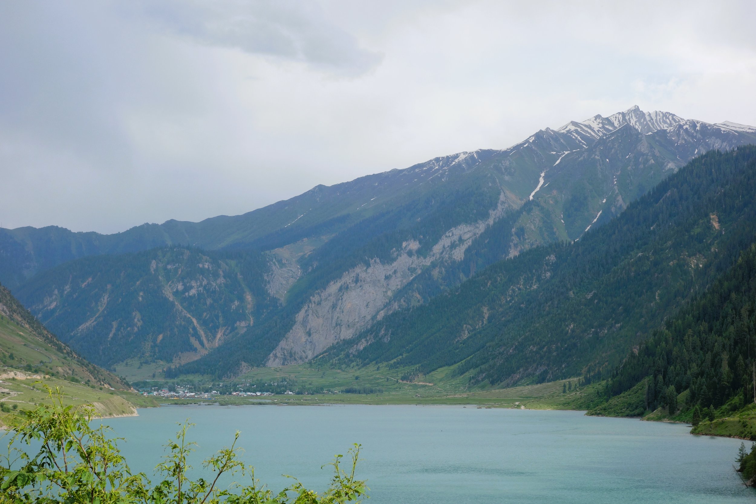
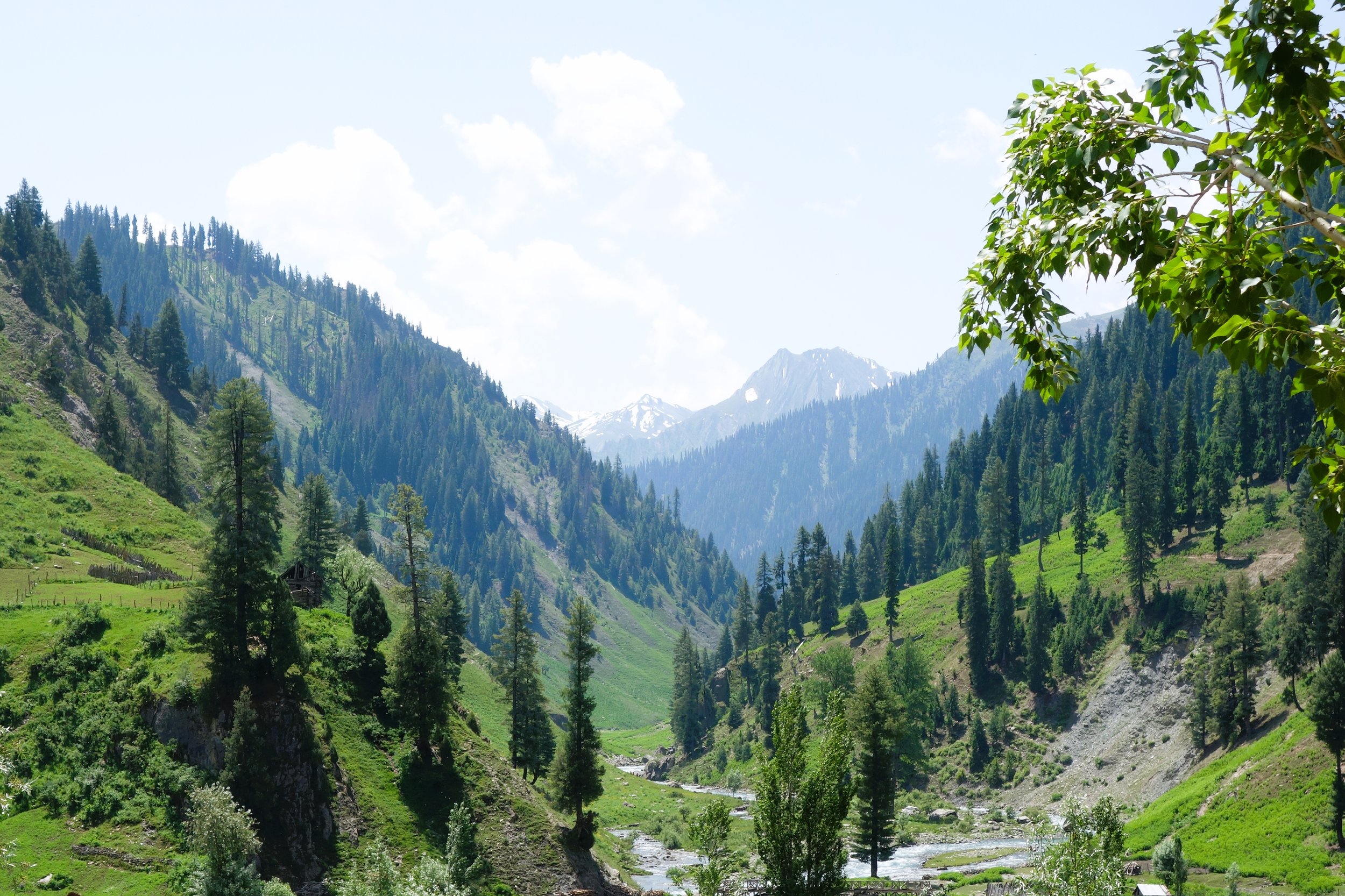
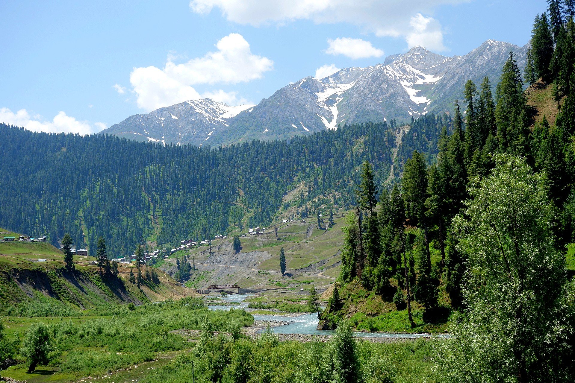
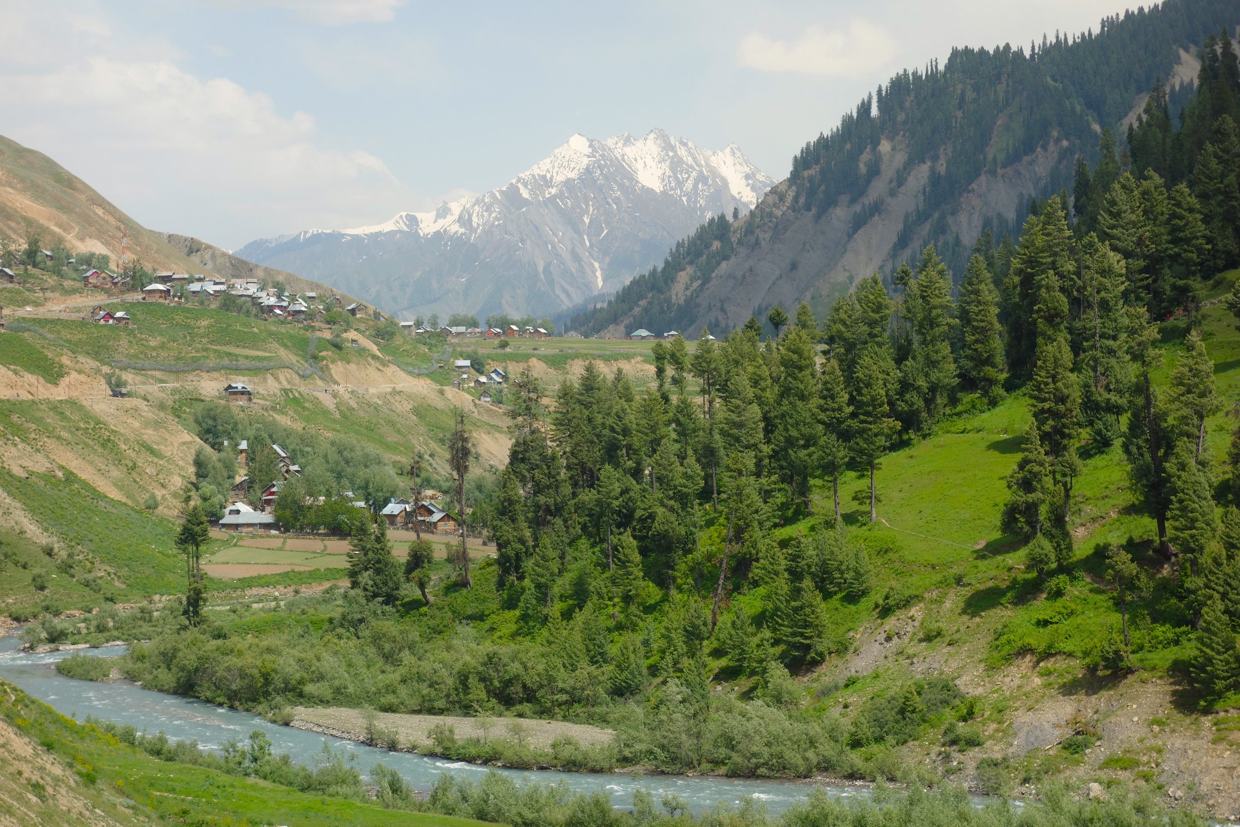
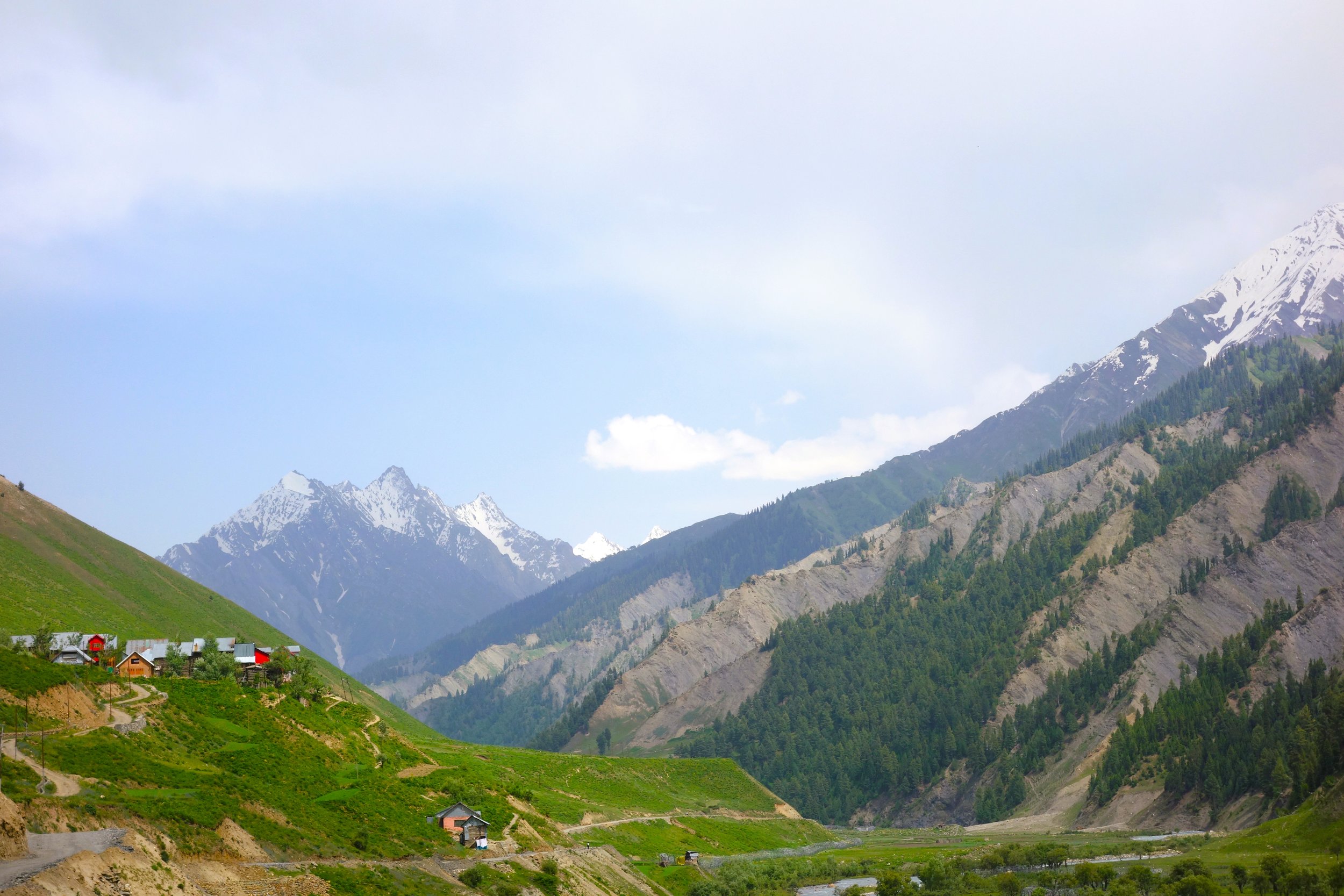
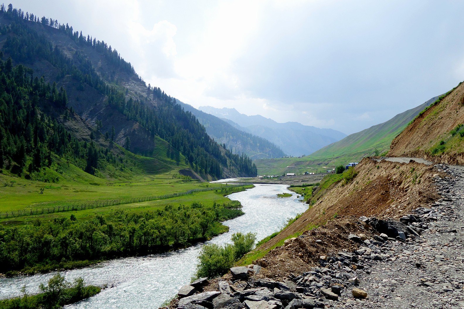
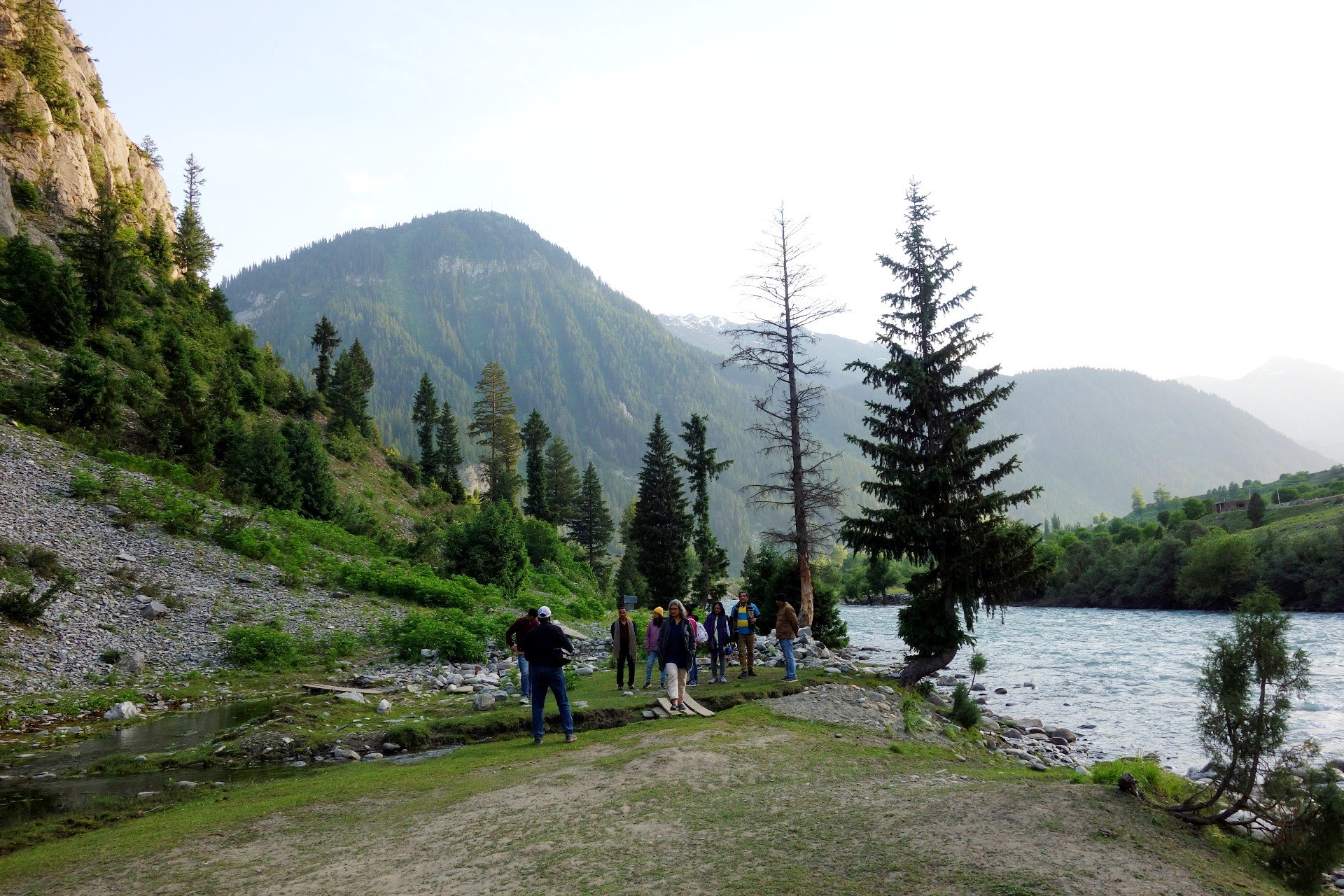
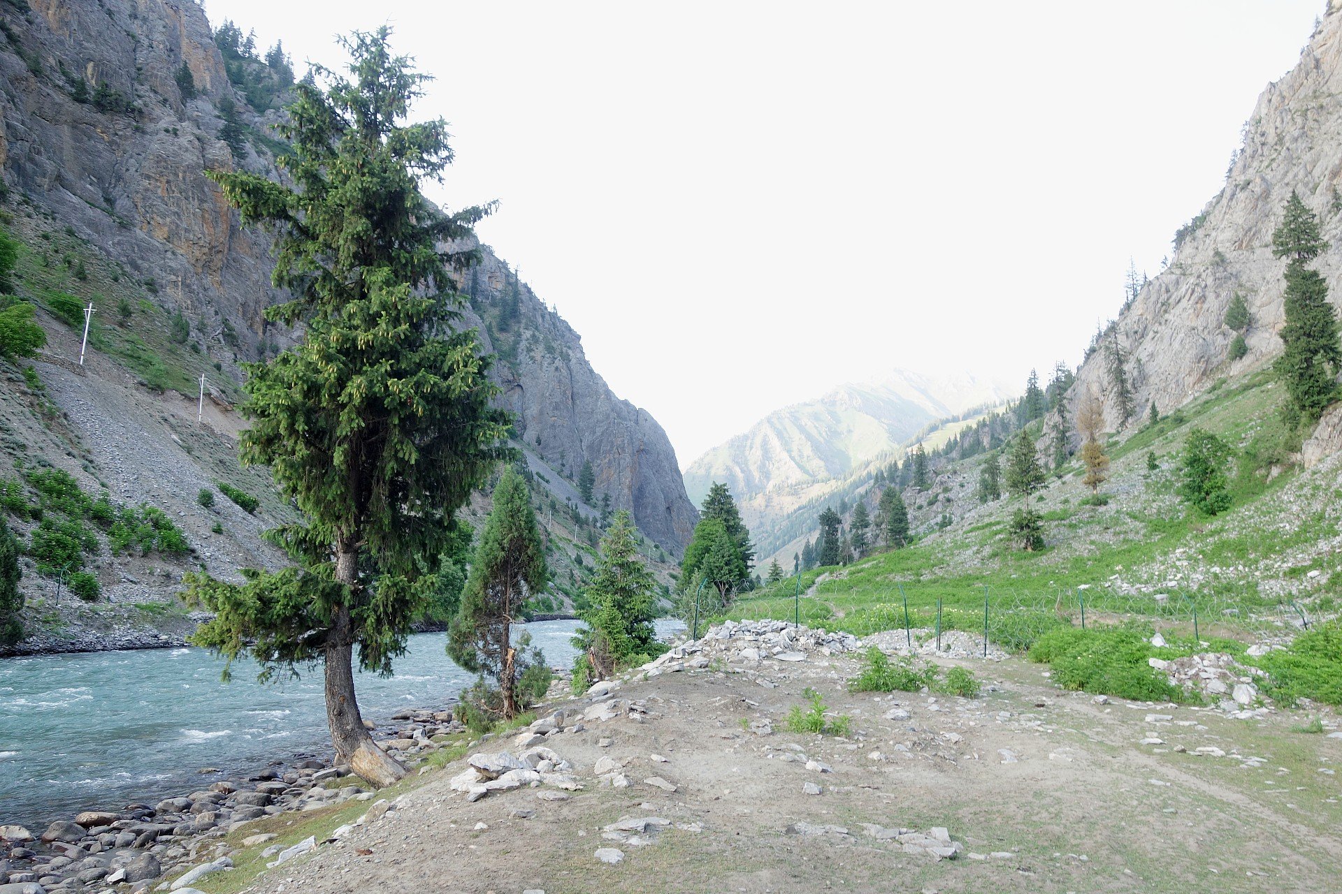
Gurez Valley
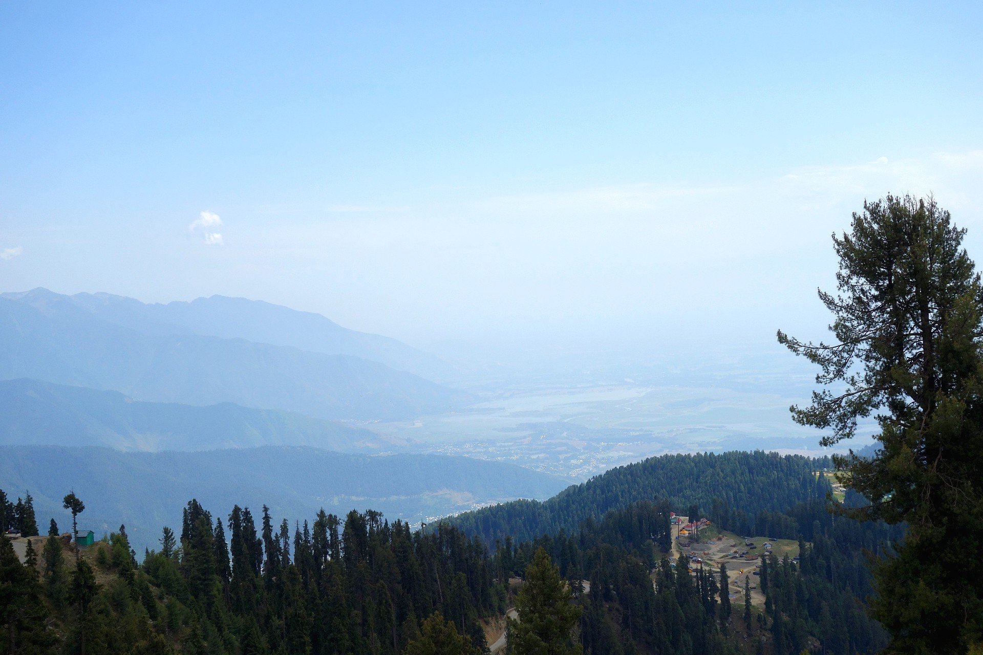
The beautiful Valleys of Gurez and Tulail are located within the folds of the Great Himalayan Range in the beautiful Valley created by the Kishanganga River as it runs down its course from its point of origin at the Kishansar Lake located in the Mountains above Sonamarg. The access to the Gurez Valley is via the Razdan Pass and the Road from Srinagar winds its way along the Wullar Lake and then from Bandipora the climb starts to Tragbal and further to the Razdan Pass.
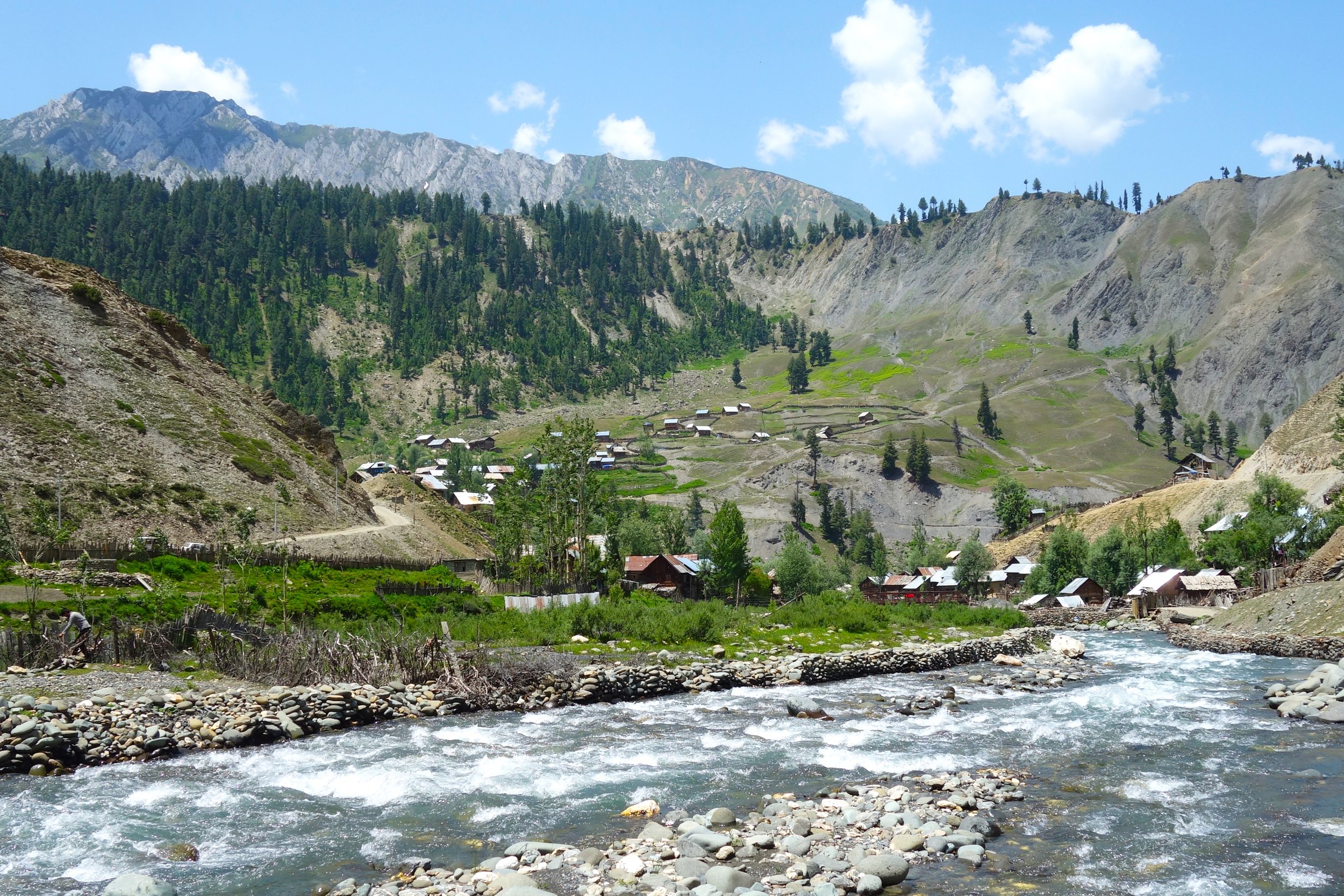
The LOC runs through Gurez and you can see the Border fence at most places in the Gurez and the Tulial Valleys. On one end of the Gurez Valley lies the Village of Bagtore which is one of the last Villages on th Indian side of the LoC. On the other end of the Tulail Valley is the Kaobal Gali which connects this Valley with the Mushkoh Valley in the Drass Region of Ladakh. This used to be one of the main access points into Gurez / Tulail till 1947 after which this Road became off limits for Civilians with only the Army using it.
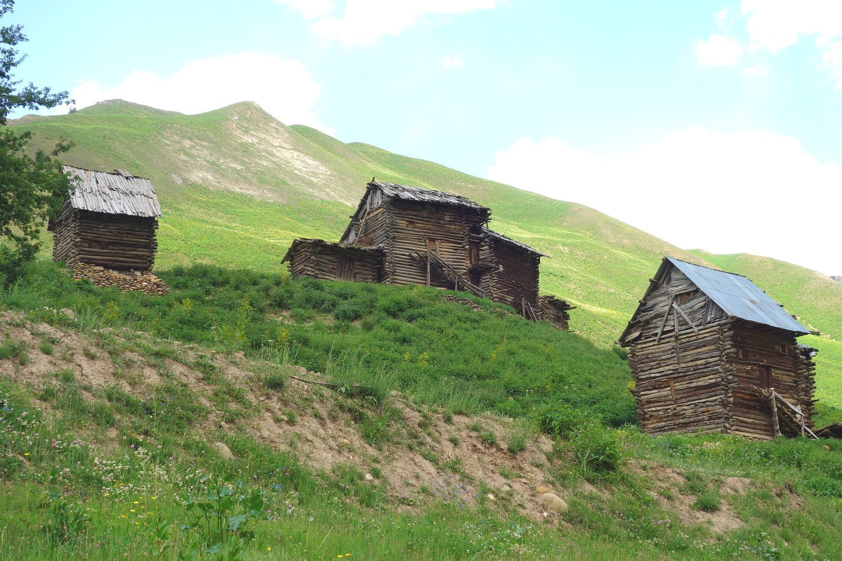
The Gurez and Tulail Valleys have a distinct Culture and the majority of the people here are Shina and speak the Shina language which is also spoken in the Gilgit Region acrosss the LoC. The Guez / Tulail Valleys are dotted with picturesque Villages with Houses made of Timber just like it has been done for Centuries.


ttps://travelthehimalayas.com/gurez
https://travelthehimalayas.com/kashmir-gurez-bangus
Chiranbal
Chiranbal is a mesmerizing meadow and a rising tourist destination nestled in the Kulgam district of Jammu and Kashmir, India.It's famed for its captivating landscape, boasting a vast expanse of emerald green meadows embraced by snow-capped peaks of the Brahma Sakli mountain range. The Zajinar River, a tributary of the Veshaw River, snakes its way through the meadow, adding to its charm.
Chiranbal offers a haven for nature enthusiasts. The meadows are a tapestry of vibrant greens, interlaced with wildflowers and pine forests. The sight of snow-clad mountains contrasting with the verdant meadows is truly breathtaking. Chiranbal comprises twin meadows - Upper Chiranbal (Haer Chiranbal) and Lower Chiranbal (Bon Chiranbal). Upper Chiranbal is placed at a slightly higher elevation and boasts a captivating panorama.
The ideal time to visit Chiranbal is during the summer months (June to September) when the weather is pleasant, and the meadows are adorned with wildflowers. While limited accommodation options exist in Chiranbal, most visitors opt for camping or guesthouses in nearby villages.


Chatpal
Chatpal is a picturesque village nestled amidst the mountains in the Shangus district of Kashmir, India. Unlike other tourist destinations in Kashmir, Chatpal offers a tranquil escape, untouched by commercialization. It's ideal for travelers seeking peace and serenity in nature's embrace.
Chatpal boasts breathtaking natural beauty. Lush green valleys, cascading streams, and snow-capped mountains in the distance create a postcard-perfect landscape. The fresh mountain air and the gentle murmur of streams will leave you rejuvenated.
The village offers a glimpse into the simple and traditional way of life in Kashmir. You can interact with the locals, learn about their culture, and savor delicious home-cooked meals.For adventure enthusiasts, Chatpal offers trekking trails that take you through meadows, forests, and to viewpoints offering stunning vistas of the valley.
Bangus Valley


https://travelthehimalayas.com/bangus
https://travelthehimalayas.com/cover-bangus
https://travelthehimalayas.com/keran
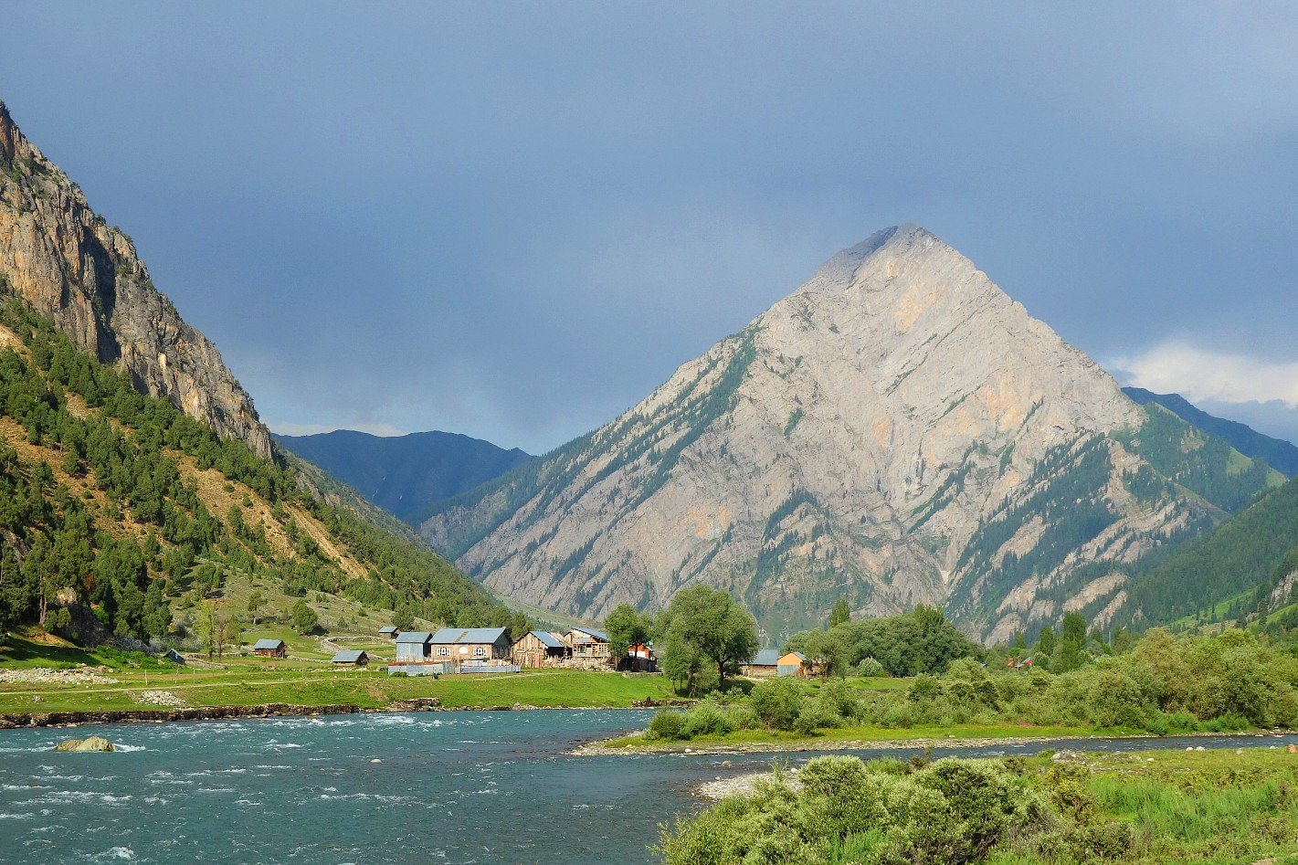
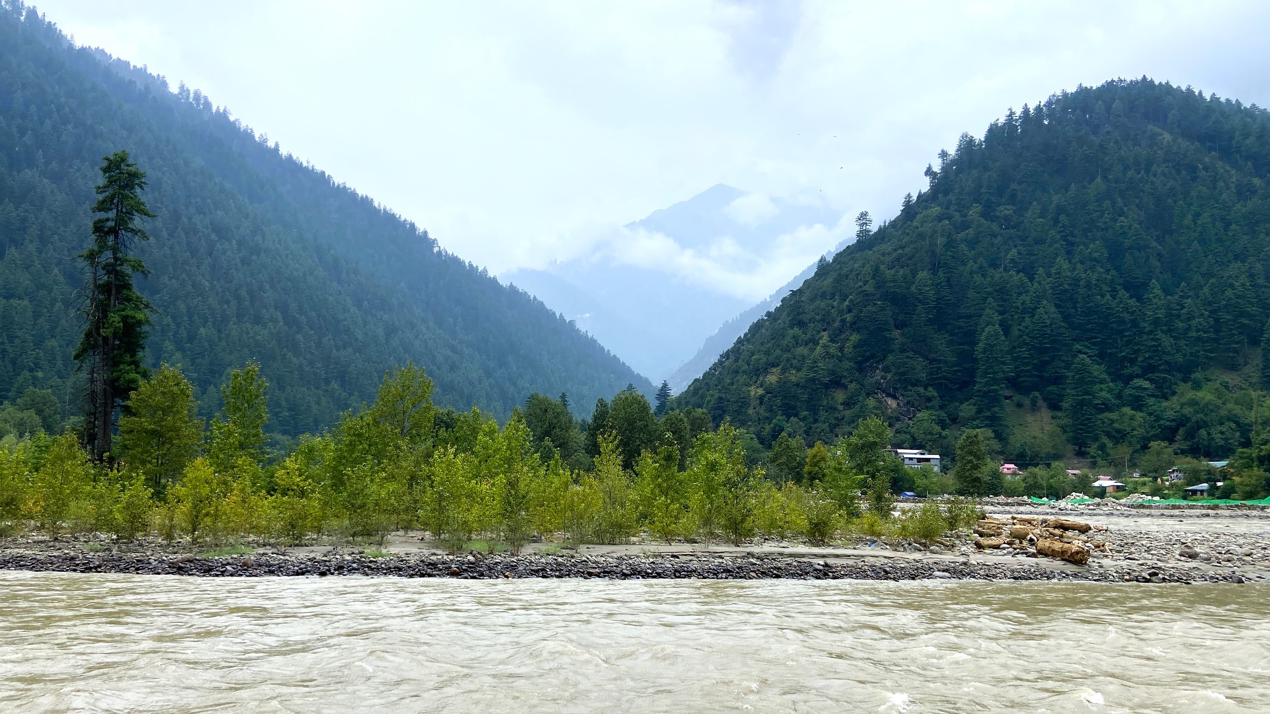
Teethwal
Teethwal and Tangdhar are located in the Karnah Valley which lies across the Shamshabari Mountains and you cross over from the Sadhna or the Nastachun Pass which is probably one of the most fiercely guarded Mountain Passes in the Country. That's not surprising especially if you remember the Battle of Tithwal and the fact that Two Param Vir Chakras were conferred during the Battle.
Crossing over the Pass you descend into the beautiful Tangdhar Valley with its green verdant fields and Houses spread over a large area. And the people of this area are mostly Pahadi instead of Kashmiri. You first need permission to come till Tangdhar and then from the Tangdhar Police Station you need another permission to go to Tithwal which lies right at the LoC.
Tithwal itself is a peaceful Village by the River with POK right across the River with a Restaurant along the main Road from where People from the other side look down on the people on the other side.


https://travelthehimalayas.com/teethwal-tangdhar
Machil
The Machil Valley lies on the Northern fringes of the Kashmir Valley in the District of Kupwara. Its nestled around the Machil River and in geographical terms its stands North of the Lolab Valley across the Zamindar Gali, a Pass that needs to be crossed in order to get into the Machil Valley. It lies close to the Line of Control and as such the access is limited. Its nonetheless a beautiful area which is like a mix of Lolab Valley to the South and Gurez Valley to the East.
Machil or Matsil as its called was always a fascinating little place for people since they read about its beauty and remote location. Though the Civilian Authorities and the Army call it Machil or Machal (not to be confused with Machail of Paddar, Kishtwar) the locals call it Matsil. The name is derived from the Dardic word for Fish. Its said that once upon a time the Matsil River which drains the Valley was full of Fishes.
Machil Valley is accessed via the Z Gali or the Zamindar Gali over the Shamshabari Mountain Range. Its called the Zamindar Gali as in the olden times many people in Lolab used to have Land in Matsil where they used to grow Crops in the summertime. Over time some of these people settled here. Also as per the Gazzette of 1890 this area was often raided by Chilasis (yes from Chilas) so that also kept people away though the area is awash with Gujjars and Bakarwals who come here with their livestock for the rich pasturage the Valley offers in the Summers.


https://travelthehimalayas.com/machil
Tosa Maidan
Tosa Maidan is a meadow located in the Kashmir Valley of India, known for its scenic beauty and historical significance. The name translates to "King of Meadows" and aptly describes the vastness of the meadow, sprawling over 65 square kilometers.
Tosa Maidan is situated at an altitude of 10,395 feet (3,167 meters) in the Pir Panjal range of the Himalayas. It's surrounded by dense forests, offering a tranquil escape amidst nature. In summer, the meadows transform into a vibrant green carpet, dotted with wildflowers and the camps of Gujjar shepherds grazing their sheep.


Keran
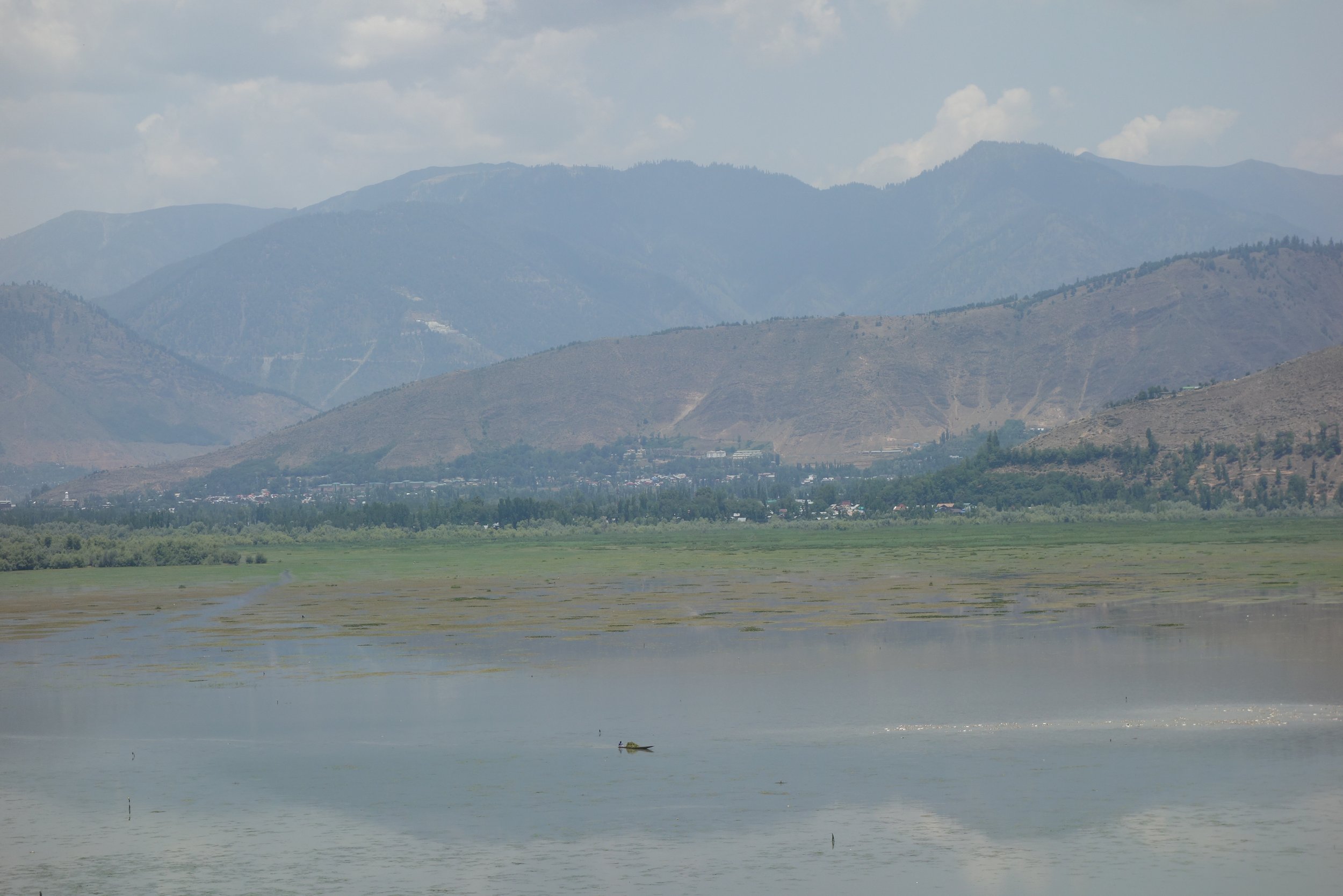
Keran is a Village which lies divided right on the Line of Control with one part in India in the Kupwara District of Jammu and Kashmir and the other part in Pakistan Occupied Kashmir. And the River Kishanganga (called Neelum by the other side) runs through it. Keran is located across the Shamshabari Mountains which one has to cross across the Firkiyan / Firkin / Pharkiyan Gali. At Keran one can view life across the LOC and the Resorts built on th other side of the Line of Control.
Keran : The Village of Keran is said to have been established by Raja Bahadur Khan in the tenth Century. Also located on the banks of the Kishenganaga River, Keran enjoys a majestic view. To reach Keran Valley one has to Pass through the Firkin Gali. It is 37 kilometers towards West from Kupwara. 89 kilometers from Kralpora and 118 kilometers from the state Capital Srinagar. One the way to Keran the other places of interest are Milyal, Raja Ram Mountains, Firkin Village, Kralpora, Trehgam and the Kheerbhawani Temple at Tikker, Kupwara.
From the Firkin Gali a Road link connects it with the Sadhna Top and is known for its mesmerizing and enchanting beauty on both sides of Kashmir. On the way one can witness the lush Green forests, Meadows, Streams and also the Ancient Architecture.


Uri
Uri is a town which is located along the Historic Cart Road along the Jehlum which once connected Srinagar and the Kashmir Valley with Rawalpindi and the Punjab in the Pre Partition Days. However since the Partition came about and following the first Indo Pak War in 1947/48 Uri became the last major Town on the Indian side and the LoC lies beyond Uri.
Uri is now a sprawling and bustling Border Town and with the opening of Tourism spots in and around Uri it stands to attract some Tourists out of the bulk that descends upon Kashmir every year especially in the Summer Months.
The main attraction is the Aman Setu at the Kaman Post, which is a Bridge which connects both sides of the LoC. You can also see the former Indo Pak Border Trade Center at Salamabad which now lies deserted. There are other ares which can be visited around Uri as well.


https://travelthehimalayas.com/kiki/2021/12/14/the-road-to-uri