
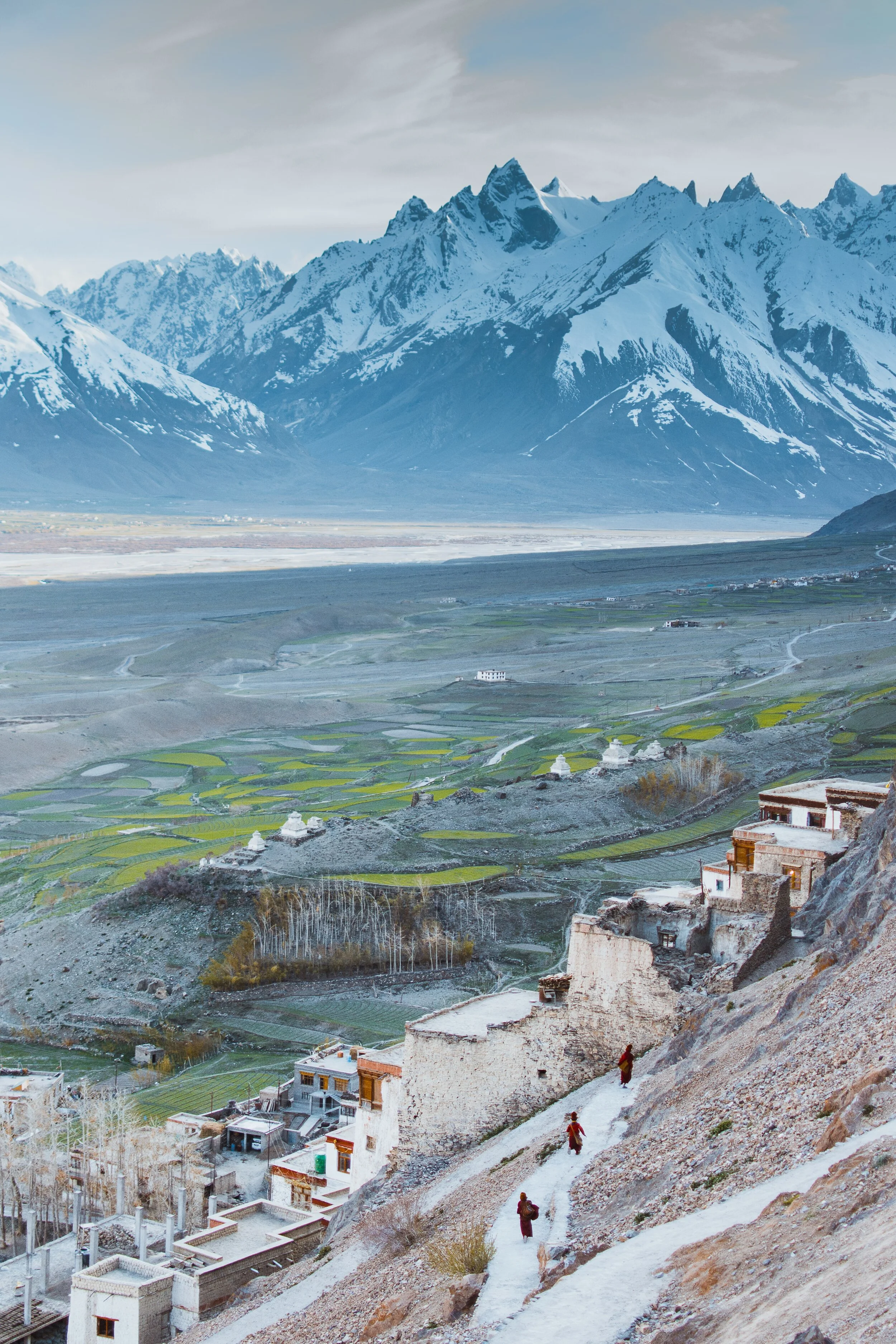
Pangi to Zanskar
The Ancient Routes which connected Pangi Valley in Chamba with Zanskar in Ladakh : Excerpts from Guide to Dalhousie Chamba and the Inner Mountains Between Shimla and Kashmir (1923)

The Village of Palamo on the Route connecting Lahaul with Zanskar via the Shinku La
Pangi to Zanskar
Excerpts from Guide to Dalhousie Chamba and the Inner Mountains Between Shimla and Kashmir (1923)
One of the most interesting readings of the recent times for me is this little Book. It was written by J Hucthison LRCP & SE, Chamba. It was printed at the Civil and Military Gazette Press in 1923 in Lahore and it was on sale for Rs.2.
Since at those times Motorable Roads / Motors were rare they hardly existed in the Himalayas. So a lot of stuff was written about different Routes which connected one Valley to another. And in today’s context we are sometimes surprised as the Routes were described between two areas which we don't really realise are close enough to be connected directly.
One such series is the section on the Routes which connected Pangi Valley to Zanskar. Yes you heard it right. These two were actually connected and still are though I doubt anyone uses these Routes anymore. We also need to remember that Pangi Valley in its higher reaches has Villages called Bhatoris which are Villages inhabited by “Bhots” as people of Tibetan/ Ladakhi origin were referred to. Just like in the neighbouring Paddar Valley of Kishtwar these “Bhots” are believed to have originally come over from Zanskar. Also worth remembering is the fact that Zanskar was at a point of time under Chamba Rule.

The Pangi Valley near the Killar Town
As per the Book, its says that in the earlier times a certain part of Trade to Central Asia was conducted from this Route while it was conducted from the Paddar and Umasi La Route as well. The Goods came to Pangi from Pathankot and Nurpur over the Sach and the Cheni Passes to Pangi. So what exactly does it say about the connecting Routes between Pangi and Zanskar. It mentions Six Routes which can be taken from Pangi to Zanskar and all these involve crossing the Great Himalaya itself. These are taken as stated in the Book.
1. From Darwas a branch ascends the Sural Nala and crosses the Sarsank Pass (16,200 feet), into the Danlong Nallah.
2. A similar branch from Kilar runs up the Hunan Nala and crosses the Shinkil Pass (16,300 feet).
3. From Sach a branch ascends the Saichu Nala to Saichu (10 miles), and Tuan (8 miles) and crosses the Mun La (16,500 feet), and unites with the two roads from Darwas and Kilar; the combined road then crosses the Poat La (17,500 feet) to Burdan Gompa in Zanskar. The roads from .Kilar and Tuan are seldom used. That from Darwas takes five days to Burda8n Gompa,. The stages are : Kansar, 8 miles ; Atyud, 1.0 miles ; Gokhun (over Sarsank Pass) 16 miles ; Sangati (Danlong N46), 6 miles ; Punchi (over Poat La) 12 miles ; Burdan Gompa, 6 miles. Large glaciers on both passes.

On the Road from Pangi to Lahaul along the Chandrabhaga
4. In the Saichu Nala an upper road runs from Kutal near Sach to Shun and rejoins the other road at Hillu, but it is rough and in places dangerous. From Saichu a Branch runs up the Chasag Nala to Bhotaur (10 miles) and crosses the Gurdhar Pass (16,791 feet), to Miyar (20 miles) in the Miyar Nala. This pass is so called owing to its being passable for ponies, which are brought from Lahul by this route to Pangi and over the Sach Pass to Chamba. Two men are needed to render help at difficult parts of the road.
5. At Udaipur a branch runs up the Miyar Nila and is narrow and difficult for four miles. From Chimrat (12 miles) the valley is open and the road good, up to the head of the Valley where it crosses the Kang La, 17,500 feet, in the Western Himalaya to Burdan Gompa. The journey from Kanjer, the last village, occupies five days. The stages are : Gompa, 8 miles ; Kesaryuncha, 7 miles ; Dutombn, 8 miles : Chural-pachan, (over Kang La), 12 miles : Bardan Gompa, 6 miles.

The Karsha Monastery in Zanskar. Pic by Klara Avsenik
6. Beyond Kanjer a branch ascends a side nala to croes the Tharang La, 17,133 feet, to the head of the Kado Tokpo stream in British Lahul. The journey from Kanjer to Darcha takes four days ; large glacier, but road fairly good ; no village till near Darcha.
Its amazing that most of these Passes and Routes are not in use and only the most hardened Trekkers venture into these most Inner parts of the Himalayas. This is where the opportunity lies for “Explorers” in the actual sense of the word to venture into see the beauty of the Inner Himalayas. As in the “wild” country which lies between “Shimla and Kashmir” as this hand Book called them.
The Enchanting Padri Gali
The enchanting Padri Pass or Padri Galli or Padri Top which connects Chamba in Himachal Pradesh with Bhaderwah in the Jammu Division of Jammu and Kashmir at around 10,400 feet amsl. It is located around 110 kms from Chamba Town and around 40 kms from Bhaderwah and is the highest point of the Chamba Bhaderwah Highway. This is one of the important Passes which connects J and K with Himachal. In older times Bhaderwah was a part of the powerful Chamba Kingdom which held Kishtwar as well and even Zanskar.

The Enchanting Padri
The enchanting Padri Pass or Padri Galli or Padri Top which connects Chamba in Himachal Pradesh with Bhaderwah in the Jammu Division of Jammu and Kashmir at around 10,400 feet amsl. It is located around 110 kms from Chamba Town and around 40 kms from Bhaderwah and is the highest point of the Chamba Bhaderwah Highway.
This is one of the important Passes which connects J and K with Himachal. In older times Bhaderwah was a part of the powerful Chamba Kingdom which held Kishtwar as well and even Zanskar. For many years Bhaderwah was the bone of contention between the Jammu Kingdom and the Chamba Kingdom until in the mid 1800’s it was taken over by Raja Gulab Singh of Jammu as terms of settlement of the Territorial boundary with the Chamba Kingdom after he acquired Kashmir as per the Treaty of Amritsar.

Bhaderwah today is a part of the Doda district and lies in the lap of the Pir Panjals. The Town of Bhaderwah itself was an important one and the Bhaderwah Fort stands watch over Town. Bhaderwah has a mixed population of Hindus and Muslims and the languages spoken include Bhaderwahi and Kashmiri.
There are many beautiful places in Bhaderwah which have for long been away from the Tourist lime light. Some of them are described below (Taken from JK Tourism Catalog) :
Kailash Kund : The Kailash Mountain overlooking the Bhaderwah Valley is supposed to be the abode of Shri Vasuki Nag. At 13067 ft the Kailash Kund is the source of the River Neeru which drains the Bhaderwah Valley. The Yatra follows Mani Mahesh Yatra and starts with the Chari Mubarak from the Village of Gatha in Bhaderwah and then goes to Vasuki Nag Temple in the heart of the Town. At Ramkund one halts for the night and there on to Kailash Kund. The annual Kailash Yatra takes place in the month of August.
Seoj Meadows : The Meadow of Seoj is flanked by a gushing River on its West which emanates from the Hills surrounding the Kailash Kund. The Landscape across the River is a replica of Pahalgam whereas on the Eastern side there are long stretches of Grasslands. On the Western side the Meadows take a descent along the crystalline water of the Seoj Rivulet and roll towards Ramnagar area of Udhampur District.
Chinta Valley : Situated at a height of 6500 ft Chinta Valley is a beautiful Valley with thick Coniferous Forests on all sides and the Chinta Nallah flowing through it. A grassy Meadow called Bagan on one side of the Village is favoured by picnickers.
Jai Valley : Ten kilometers from the Chinta Valley is the picturesque longitudinal Jai Valley at a height of around 7000 ft. Located around 32 kms from Bhaderwah it is an extremely beautiful Region spread over 6 kms. The Valley is surrounded by thick Deodar forests on steep slopes with a sprawling Meadow in the middle.
Khellani : Khellani, overlooking the Kellar Valley is a Deodar clad Plateau 15 kms from Bhaderwah. Drained by the Bankut Nallah it is an ideal leisure spot. From late Summer to Autumn the Valley provides a bounty of fruits like Apricots, Peaches, Plums and Apples. While at Khellani one can walk through Khellani Pass amidst various Villages connected at Maulote and take the Road back to Khellani.
Pic from March end, 2018
Kishtwar : At the Himalayan Crossroads
Kishtwar is a region in the Jammu division of the state of Jammu and Kashmir. Due to its unique location just under the shadow of the Great Himalayas and at the place where the religions and cultures of the Himalayas meet. They give Kishtwar a unique flavor which remains largely unexplored.
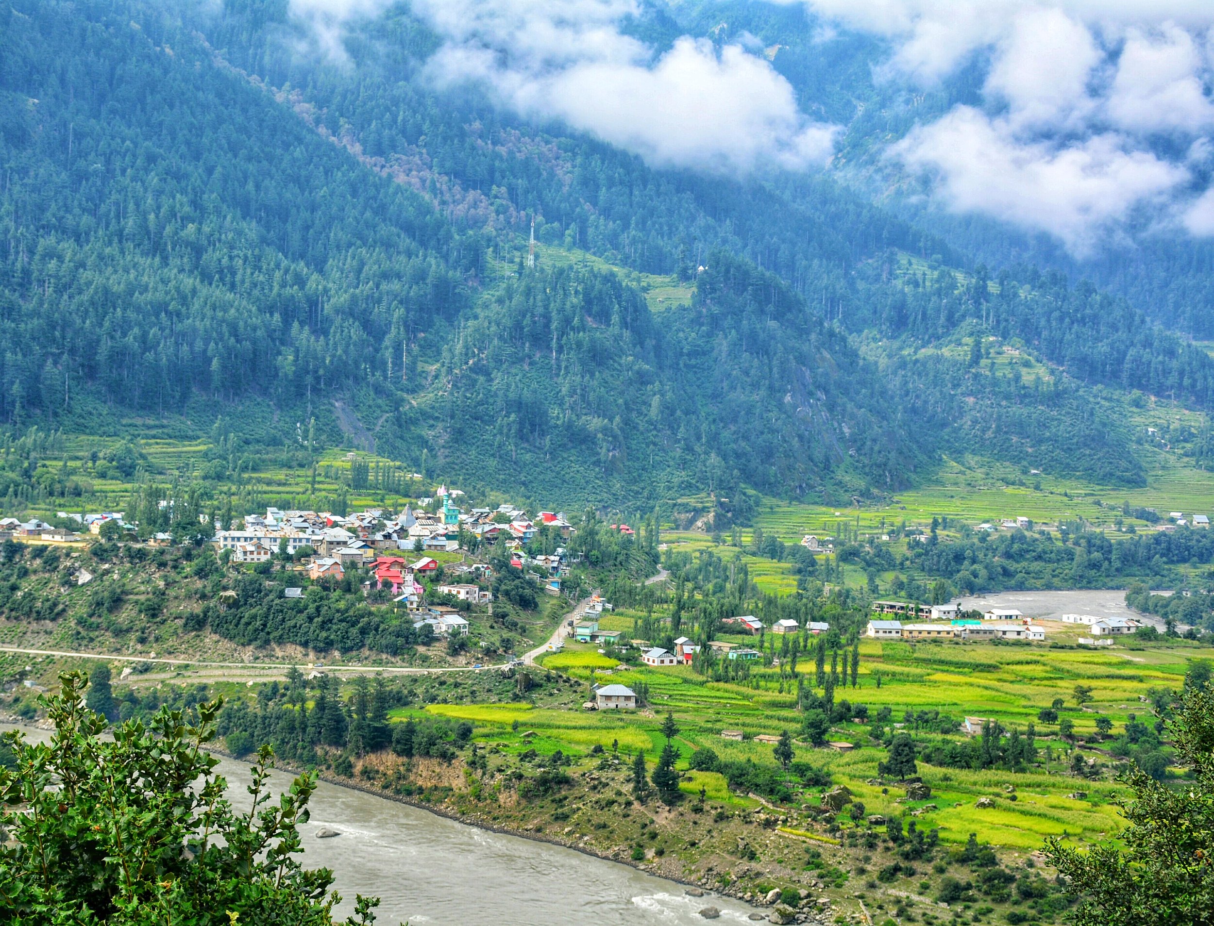
Kishtwar : At The Himalayan Crossroads
Kishtwar today is just a district in the Jammu Division of the state of Jammu and Kashmir. It borders the Kashmir Valley on one side, Doda on the other, Zanskar in the North, Chamba in the South. It has been noticed by some hard core mainly foreign Monatineers in the past and even recently for the great climbing opportunities it offers in the Kishtwar Himalayas.
Ok coming to what I wanted to write about. The Great Himalayan Range and its related Ranges stretch from the Pamir Knot down to the Hengduan Mountains in North Western Kunming. Besides all the ethnic and cultural variety there are also a variety of Religions practiced in these Mountains. Since Religion is a hot topic of debate and discussion and even derision on the Himalayan Club I decided to write on a subject related to it. To me the Religion of a place carries as much value as the ethnicity or the culture or the language does.
In the Himalayas there is the basic presence of three of our great religions. In the Western and Northern part of the Western Himalayas it is Islam which dominates. However beyond the Himalayas in the North its Buddhism. Towards the Eastern and Southern Part of the Western Himalayas it is Hinduism. And of course Buddhism in the Trans Himalayan reaches. The Central Himalayas are a stronghold of Hinduism stretching all the way across to Sikkim. But again as a feature seen earlier its Buddhism which dominates the higher Himalayas and the Trans Himalayas. Beyond Sikkim its predominantly Buddhism which is the majority religion.
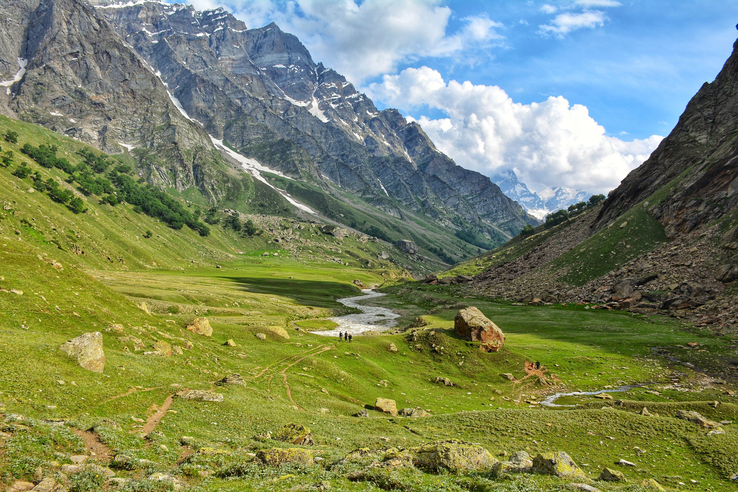
Its in Kishtwar that the three belief systems merge and hence it gives unique place in the Himalayas. The majority population follows Islam, a large minority follows Hinduism and a very small minority of Buddhists also exist in Kishtwar. Its in the upper reaches of Padar (which used to be called Paldar by the Ladakhis / Tibetans) that there are exist Buddhist villages which follow the same Tibetan Buddhist traditions that are followed across the Great Himalayan divide in Zanskar. Infact in some of these Villages in Kishtwar there still exists an animal which is associated more with Ladakh or Tibet ie the Yak. In the Padar Region in the upper reaches along the Machail River there are the twin hamlets of Halo and Hango on the left side of the Machail River and the Villages of Lossaini, Dangali, Scham and Jashari which are all Buddhist Villages.
Towards the south bordering Doda and Chamba are a majority of Hindus contiguous with the populations to the South. The main Kishtwar town and to the North of it are majority Muslim population many of whom have actually come in from adjoining areas in Kashmir. In Fact the Kashmiri spoken by the people in the Warwan Valley, which is a part of Kishtwar, is supposed to be the purest form of Kashmiri as it was spoken in the olden days. The Warwan Valley runs parallel to the Suru Valley in Ladakh separated by the Great Himalayan Range itself.
Kishtwar is first referred to in the Rajatarangini by the ancient name Kashthavata, during the reign of Raja Kalsa of Kashmir (1063–1089), when "Uttamaraja", the ruler of Kashthavata visited the court of the Kashmir King in company with several other hill chiefs to pay their respects to the Raja.
It was more or less an independent Hill Kingdom ruled by Rajput Hill Rajas as was the norm in the region. The Royal family had supposedly descended from the Royal family of Suket.
However subsequently a part of it also became a part of the Western Tibetan Kingdom and the one of the Kings divided his Kingdom between his sons and they got Zanskar, Purig and Kishtwar as separate Kingdoms. However in the absence of any written historical records of history of the Region the timelines are just approximate guesses and due to the Geography of the region it is well possible that a part of Kishtwar was under the Rajput Hindu Rajas and the more higher and remote areas like Padar was under the rule of Ladakhi/ Tibetan Rajas.
In the 17th Century the Rajas of Kishtwar converted to Islam so did a large part of the population. But in an odd adaption the Rajas, though Muslims by religion, had Hindu Rajput names and this continued till the 1820 when it was captured by Raja Gulab Singh, a vassal of Maharaja Ranjit Singh. The name of the last ruling was Raja Muhammed Teg Singh s/o Raja Inayatullah Singh. The campaign for the capture of the Kingdoms of Kishtwar, Reasi and Arnos was carried on by none other than General Zorawar Singh who subsequently became the Governor of these erstwhile Kingdoms and it was from here that he planned his invasions of Ladakh, Baltistan and Tibet. And one of his main Officers, Col Mehta Basti Ram, of the well known Mehta clan of Kishtwar, who campaigned fearlessly with General Zorawar Singh in all his Campaigns. After the death of General Zorawar Singh and the subsequent signing of the Treaty of Chusul, it was Col Mehta Basti Ram who became the first Governor of Ladakh.
As of today this most beautiful part (arguably) of Himalayas lies mostly unknown to outsiders except a few adventure seekers. Lying in the shadow of Kashmir and Ladakh but a part of Jammu that can give both these places more than a run for their money just with its amazing Geographical and Cultural diversity.
Zanskar : The Valley of Copper
Zanskar has an area exceeding 7000 sq km and a population estimated to be between 18000 to 20000. It is located bang in the middle of the Great Himalayas which separate it from Kishtwar and Lahaul in the South. In the East it touches Tibet almost and in the North is Ladakh and to the East is what used to be Baltistan but now better known as the Kargil area. Zanskar gets its name from the Tibetan word for Copper "Zang" and Valley. So probably it was because of the Copper deposits it was called so. And the name stuck.

Zanskar : The Valley of Copper
Zanskar has an area exceeding 7000 sq km and a population estimated to be between 18000 to 20000. It is located bang in the middle of the Great Himalayas which separate it from Kishtwar and Lahaul in the South. In the East it touches Tibet almost and in the North is Ladakh and to the East is what used to be Baltistan but now better known as the Kargil area.
Zanskar gets its name from the Tibetan word for Copper "Zang" and Valley. So probably it was because of the Copper deposits it was called so. And the name stuck.
It used to be a part of the Tibetan Kingdom of Guge at a point of time. The Kingdom included Ladakh, Zanskar, Spiti and part of Western Tibet around the Holy Kailash Mountain. The Kingdom was split into separate Kingdoms at one point of time and Zanskar Spiti became an independent Kingdom under a King who was one of the sons of the last ruler of Guge. Even today the Royal lineage of Zanskar is help in great esteem as they are deemed the successors of the main Tibetan Royal family.
The Kingdom of Zanskar was further split later into Padum, Zangla and Kishtwar (yes Kishtwar was a part of the Zanskar kingdom) but at the same time it came under the influence of the powerful Ladakh kingdom.
Due to its land locked location Zanskar has always been pretty isolated and under the influence of Buddhism it has a distinct identity as in the people are generally very genial in nature and this has always been taken advantage of by outsiders.
Kashmiris, Chambyalis, Lahaulis, Dogras, Gujjars etc have all at different times invaded, plundered and looted this land.
Even in the 1800s it was first the Chamba forces which swept Zanskar and later a combined Kulu and Lahaul and Chamba force again plundered. And then again the Dogras under General Zorawar Singh swept through Zanskar on his way to capture Ladakh.
The thing was the usual way to Ladakh from Kashmir was up the Zoji La Pass but at the time of General Zorawar Singh the Governor of Kashmir, Mihan Singh was not well disposed towards Raja Gulab Singh and the Dogras. So he didnt permit any Dogra force into Kashmir. General Zorawar Singh had been the Governor of Kishtwar and knew of the way into Ladakh through Zanskar. Otherwise in probability Zanskar would have been left to its own devices but it became a victim of power sturggles within the Lahore Kingdom.

The main Village of Padum
But the worst was still to come. In 1947 when the country got independence the Gilgit Scouts capitulated to Pakistan and they began their campaign to capture the whole of Ladakh region. They captured Kargil and a group of soldiers of the Gilgit Scouts made their way down to Padum in Zanskar. Even after the Indian forces re-captured Kargil and the Zoji La these Gilgit Scouts remained in Padam. This was probably the worst time the Zanskaris ever saw. Without going into the gruesome details let me just say that they were subjected to all kinds of deprivations by the Gilgit Scouts.
The Indian Forces were too busy consolidating and building their defences in the forward areas and really had no resources to focus on Zanskar. However a group of ex-soldiers from Lahaul did band up and went upto Padum to fight the Gilgit Scouts but they were beaten back by the Gilgit Scouts.
It was only after the ceasefire that the Indian troops came in and the Gilgit Scouts were escorted over the border. But they pretty much left a very deep mark on the local population and the inter relationship between the majority Buddhists and the minority Muslims.
The troubles didnt go away though. There were still ocassional raids by the Gujjars who used to descend the Zanskari pastures in the Summers. Worse still the Policemen deployed in Zanskar were usually outsiders and being in such an isolated place they took full advantage. Every household had to pay a tax to the cops failing which the cops would cook up false charges and the person would be dragged all the way to Kargil to face the local court and be put in Jail.
Also being clubbed with Kargil was another source of great concern for the Zanskarpa. Culturally and spiritually the Zanskarpa was much more closer to the Ladakhis than to the people from Kargil who followed a different religion and spoke a different language. Kargil was probably as alien to the Zanskarpa as Kishtwar or Kashmir.
The only Road link with the outside world also goes thorugh Kargil. Even when they have to go to Ladakh they have to take a circuitious Route via Kargil. Hence it has been a long standing demand of their to be connected directly with Ladakh via Road. The Road was promised to them around Independence but the said Road, now called the Chadar Road is still under construction. And on top of that their only life line connect with the outside world, over the forzen Zanskar is now over run with tourists which doesnt enable the Zanskar to get frozen properly.
The tale of Zanskar is one of constant broken promises made by the Government of India as well as the state Government. The Zanskarpa still continues to be neglected like no other. They dont even have an MLA of their own (another one of their demands) as they are clubbed together with Suru Valley and the representative in always someone from Suru.
Apparently its hoped now that one day the Road connecting it directly to Leh as well as the other one to Lahaul will become operational and for atleast 6 months they can enjoy the better connectivity and all the benefits it brings.
As for the winters please leave the Zanskar river alone. Its their only connecting lifeline. If cannot do anything to improve their condition atleast try not to worsen it. There are plenty of other frozen Rivers in Ladakh you can walk on. Say no to Chadar.
Kiki’s Blog
Stories from the Himalayas








Five years ago the Galwan Valley was in the News for the wrong reasons after a deadly clash between the Indian and Chinese Armies in the Valley located in Ladakh lead to many deaths on the contentious Border between the two countries in wake of continued Chinese intrusions into Indian territory.
This area along the Shyok River, of which the Galwan Nallah or the Galwan River which forms the Galwan Valley has been off limits to Civilians since long but now the Indian Government has decided to open up the area for Civilians and we were amongst the First Civilians to venture into this beautifully desolate part of the Eastern Karakorams in Ladakh. Earlier Civilians could only venture upto the Village of Shyok from where the Shyok River takes a U turn and flows in a Northerly direction.