
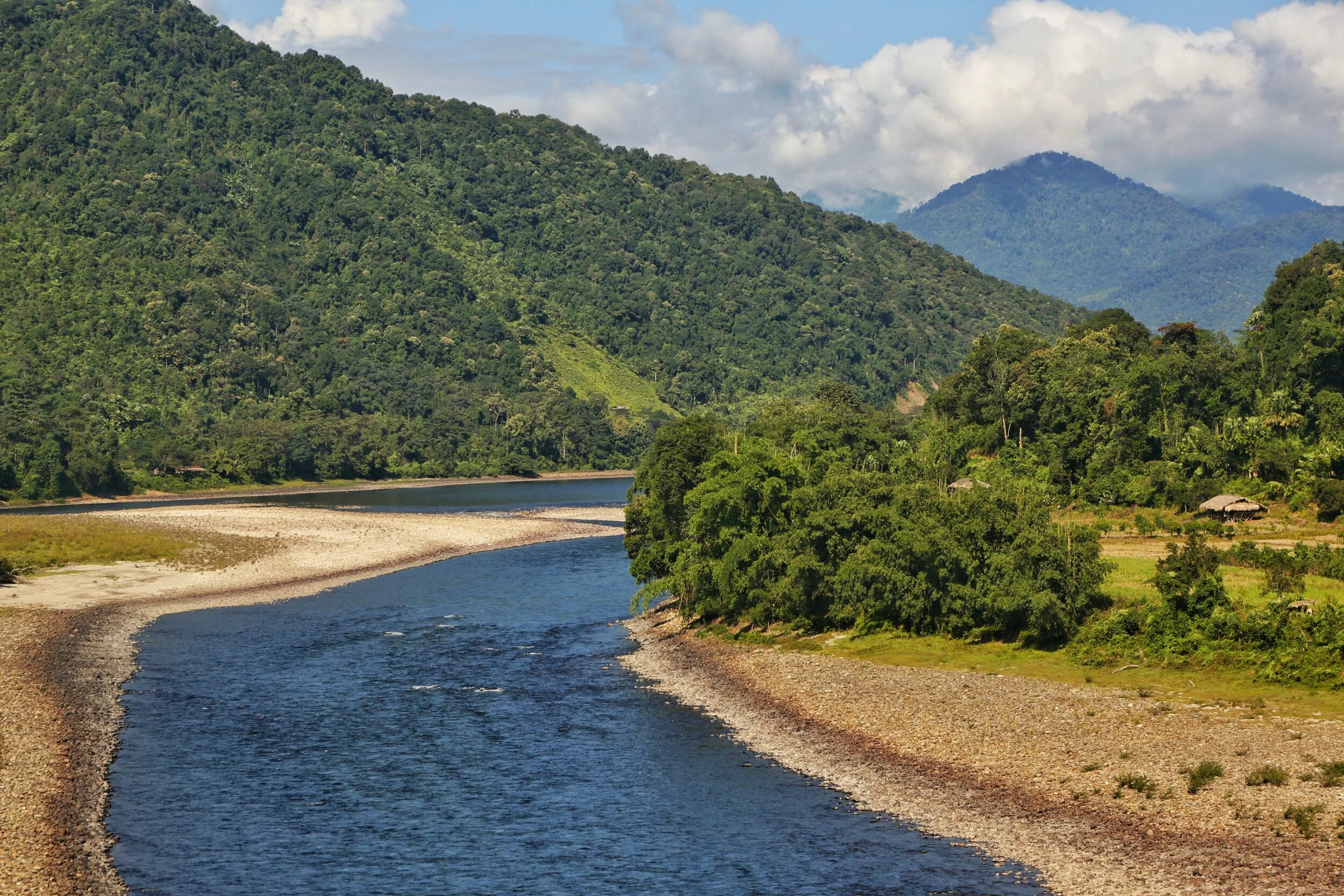
Of Mountains and Rivers
One of the most interesting thing about the Himalayas is how the Rivers interact with the Range and how the River Basins work. Since none of us is taught this in school in the Geography class the way one can study this fascinating aspect is to study Maps. Not the Maps of the new but the old Maps made by the Geological Surveys and the Royal Geographic Society Maps. The kind of detailing in these Maps is amazing when we keep in mind the fact that it was all done by boots on the Ground. No Aerial or Satellite Cartography.

Of the Himalayan Mountains and the Rivers
One of the most interesting thing about the Himalayas is how the Rivers interact with the Range and how the River Basins work. Since none of us is taught this in school in the Geography class the way one can study this fascinating aspect is to study Maps. Not the Maps of the new but the old Maps made by the Geological Surveys and the Royal Geographic Society Maps. The kind of detailing in these Maps is amazing when we keep in mind the fact that it was all done by boots on the Ground. No Aerial or Satellite Cartography.
And I finally found a Map which shows the River Basins / the Mountains / the Ridgelines / the Water Partings in a very simple and lucid fashion. Of course there are some explanations required for the un-initiated in the fine art of reading Maps. Not only does it show the Water Basins in the Himalayan context but it also shows the neighbouring River basins and how the Mountains affect the Course of the Rivers. You also need to understand that its this conflict between the Rivers and Mountains which has created the Valleys which has enabled Human communities to inhabit the Mountains.
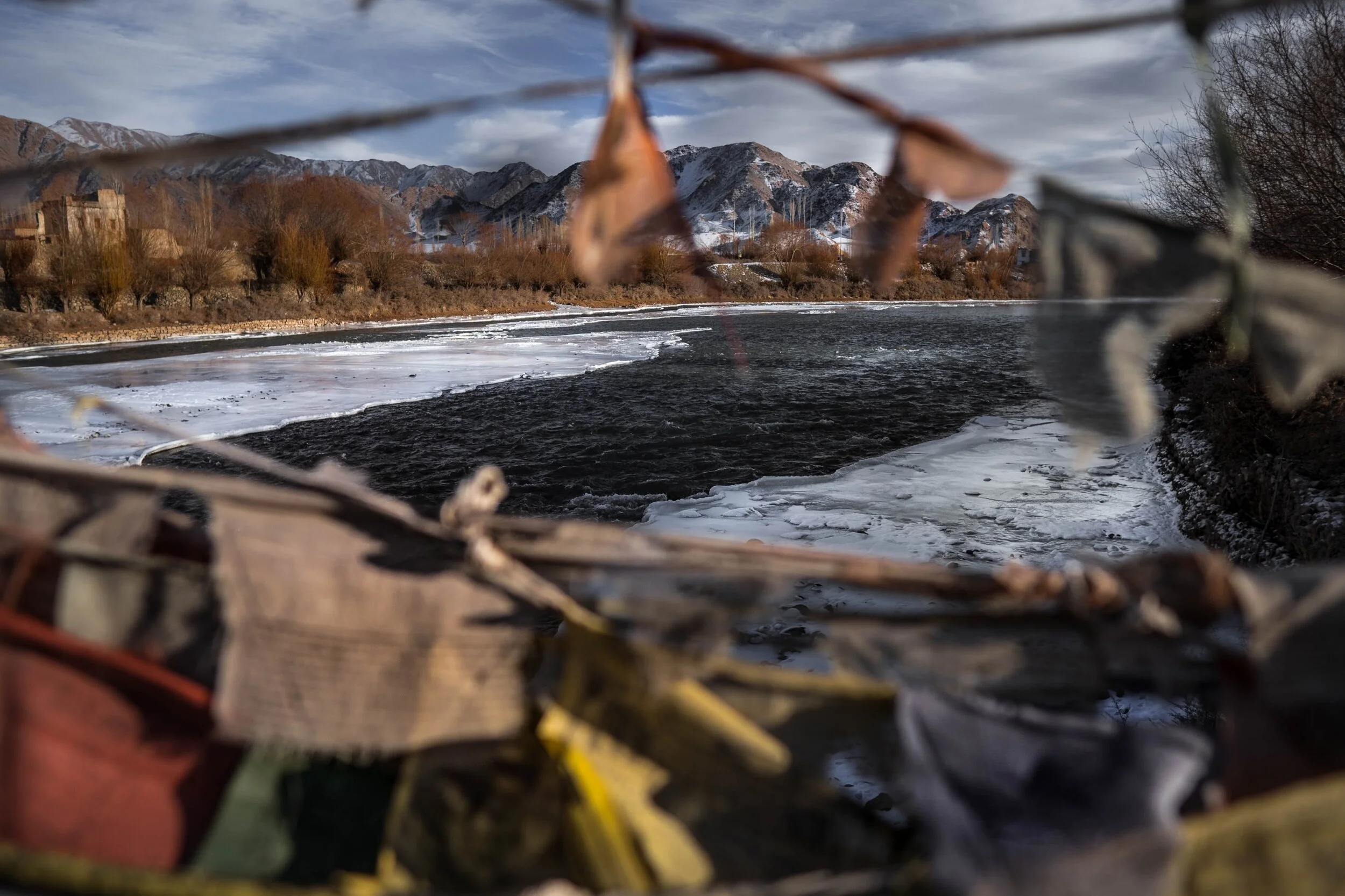
In the Himalayan context the Three main Rivers which drain the Himalayas are the Indus in the West, the Ganges in the Middle and the Brahmaputra in the East. It is common knowledge that the Indus and the Brahmaputra which rise from almost the same vicinity of each other near the Mansarovar Lake in the Tibetan Plateau hem in the Great Himalayan Range from the opposite sides. The Indus forms the boundary on the West as it passes by the Nanga Parbat and the Brahmaputra forms the boundary on the East and it rounds off the Namcha Barwa in the East. The Indus and the Brahmaputra both never breach the Main Himalayan Ridgeline and run alongside but behind the Main Himalayan Ridgeline on the Tibetan Plateau. Both flow along what Geologists call the Indus Tsangpo Suture or divide in simpler terms. I would also like to mention one major River which actually cuts through the main Himalayan Ridge line and forms the Eastern boundary of the Western Himalayas. This would be the Satluj which coincidentally also originates around the same area as the Indus and the Brahmaputra (which is called Tsangpo in Tibet) and follows an independent course cutting through the Himalayas though it finally ends up in the Indus once it reaches the Great Plains of the Punjab.
Beyond the Basins of the Himalayan Rivers we have in the neighbourhood the Tibetan Basin though a part of the Tibetan Plateau is drained by these Himalayan Rivers themselves. Further North the main Ridge line of the Karakorams forms the Water Parting between the Himalayan Rivers (the Indus system) and the Tarim Basin. The Tarim Basin is itself separated from the Tibetan Basin by the Kunlun Mountains. To the West of the Tarim Basin separated by the Pamirs in the South and the Tian Shan in the North is the Central Asian basin of the Oxus and Jaxartes of the old. The names Oxus and Jaxartes were enough in the old times to induce Explorers to go into a frenzy so inaccessible these areas were. However nowadays the Oxus and Jaxartes are better known by their present names, the Amur Darya and the Syr Darya. On the southern Edge the Oxus and Jaxartes Basin is separated from the Himalayan River Basin by the Hindu Kush. Further down the sub Ranges of the Hindu Kush like the Sulaiman Mountains divides the Himalayan River Basin from the Helmand River Basin. This rounds off the Water Partings of the Indus in the Western Himalayas.
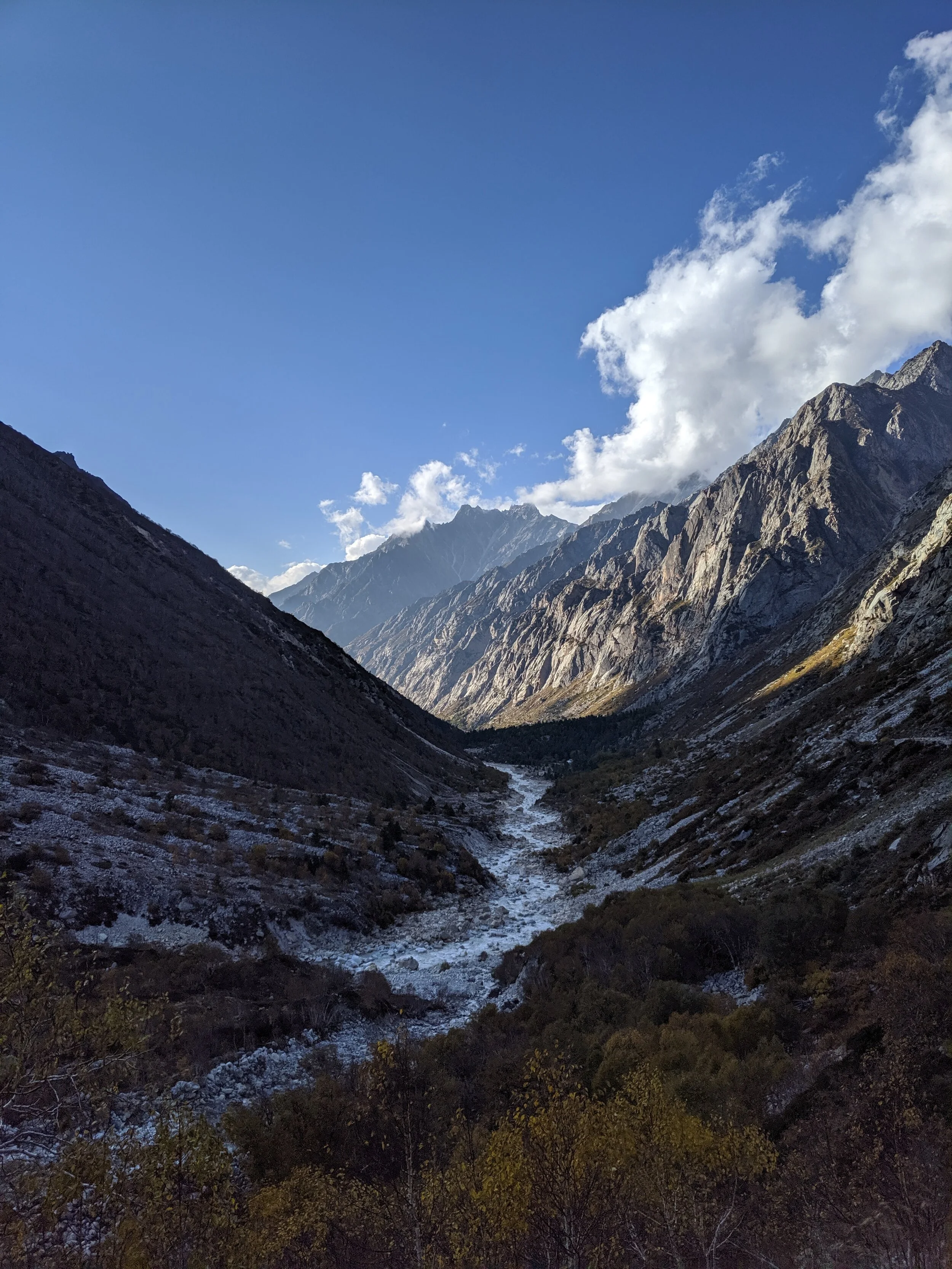
If you follow the Indus River in the Map you would see that after the point of origin the Main Waterparting of the Rivers runs behind the Main Himalayan Range rather than along the Main Ridge as classically should be the case. However at the point roughly at where it enters Ladakh from the Tibetan Plateau the River aligns itself with the Main Himalayan Range and continues the same course all the way to the Nanga Parbat where the Great Himalayan Range ends. The Water Parting however moves North towards the Karakorams and even across the Karakorams as seen in zone H. Close to the K2 however the Water Parting again moves along the main Himalayan Ridge line. But then after following the Main Ridge line of the Karakoram to West it again goes beyond the Karakorams as seen in zone C. It continues this trend until its behind the main Ridgeline of the Hindu Kush till at a point beyond the Tirich Mir it again aligns with the Main Ridge line to deviate again to form Zone B all the way to the Helmand Basin.
In pretty much the same way the Water Parting of the Tarim Basin also jumps beyond the Kun Lun, the Pamirs and the Tian Shans at places but it doesn't jump the main Ridge Line of the Karakorams as the reigning Peak of the K2 brings in a semblance of order and the Water Partings follow the K2 in the classical mode (I know this is complicated but once you co-relate with the Map and do some readings it will become more fascinating). Interestingly in the Hindu Kush its the highest Peak of the Hindu Kush the Tirich Mir which forces the Water Parting to run along the main Ridge line just like its supposed to be classically. However a point to be noted is that the Indus never concedes any of its “Mountains” the Western Himalayas or the Karakorams or the Hindu Kush to any River though itself it pushes its Basinal boundaries to well into the Kun Luns, the Pamirs and the Tian Shans though not quite making it to the main Ridge line.
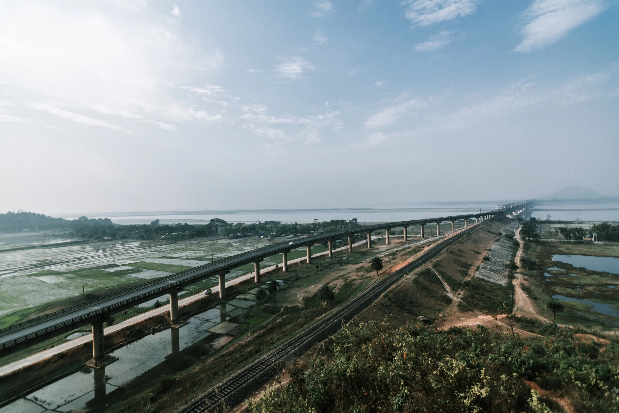
And of course as we all the Mountains are rising and the Rivers are just cutting the Gorges and the Valleys and this state of flux will continue over a period of time till the end of time. And because of this constant change the Water Partings are not as fixed or permanent as we would like to believe. They are also constantly changing and evolving in a Geological time frame. This also shows how the Rivers and the Basind connect these highest Mountains in the World in a closer relationship than we actually believe. The River and the Basins provide the linkages which connect the Himalayas with the Karakorams, the Hindu Kush, the Kun Lun, the Pamirs and the Tian Shans. I collectively like to use the term “Himalayas” when talking about all these Ranges and the Great Himalayan Range when I am referring to the Main Himalaya Range. The highest Range on the Planet.
May we one day get to behold the magnificent sights that these Mountains hold and their mighty Peaks. And may we one day get to drink water from all these Rivers. The transition zones between these Himalayas is probably even today one of the least explored in the World and they continue to hold their Mysteries, occasionally revealing them to us mere Mortals.
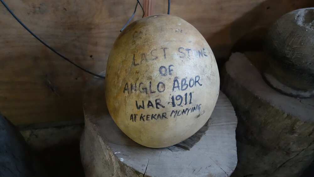
The Last Anglo Abor War 1911
The Anglo Abor War was a series of events which took place in 1911 between the British and the Abor Tribesmen in what is today Arunachal Pradesh. The British were keen to explore and Map out the almost impenetrable Jungles that the Siang River cut through in the Eastern Himalayas. And of course this put them on a collision course with the local Tribal communities who saw them as invaders and outsiders.

The Last Anglo Abor War 1911
By the beginning of the 19th Century the British were well in control of most of the parts of the subcontinent of India with the only exception being the areas in North and North West India which were firmly in the control of the Sikhs under the Sher-E-Punjab Maharaja Runjeet Singh. But after his death and the arrival of the mid part of the 19th Century the Sikh Empire was also shattered and gradually taken over by the British.
However in the Eastern part of India which was broadly described as Assam there were still areas and Tribes which held out. The British could penetrate into the the Brahmaputra Valley as far up as Pasighat but beyond that started the foothills of the Eastern Himalayas which unlike their counterpart in the West was virtually impenetrable due to the dense Jungle and the indegenous Tribes which inhabited these parts. Foreigners were extremely unwelcome and the Tribes of the Hills took no prisoners. As per their long laid down Tribal traditions they just couldn't let foreigners in their sacred Lands and Jungles where their deities presided and allowed them to make a living out of hunting gathering.
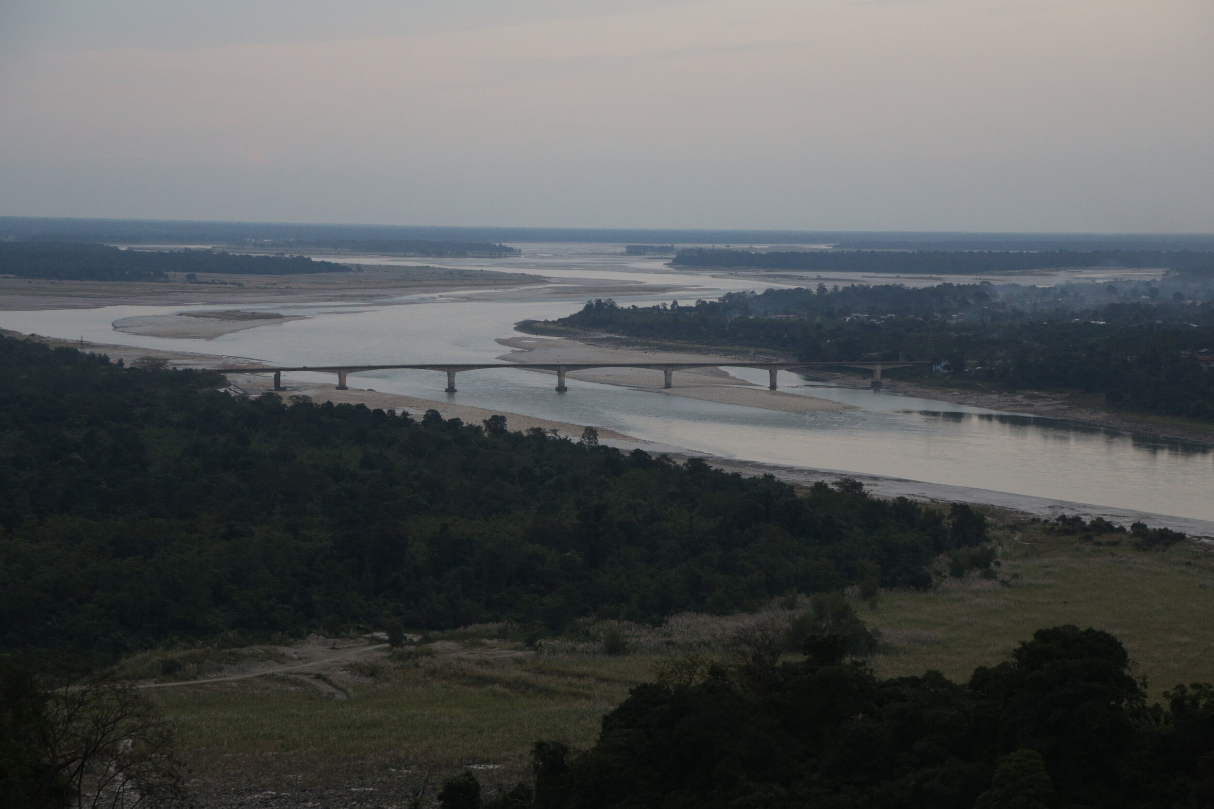
The Siang or the Brahmaputra before Pasighat
Let me first explain how I got to this point. We were driving around the North East in last November / December and while on the way from Pasighat to Aalo we stopped at one of the few local “Dhaba” if you could call it. These Dhabas serve quick Lunch / Dinner in the form of Dal Rice or Chicken Rice or Pork Rice or you could opt for Maggi instead. Or the regular Tea. Anyways since we were in a Group we ordered and some of the more curious ones started roaming around. And then I caught sight of what I though looked like an Ostrich’s egg and hence I decided to take a closer look. And then I realised that there was something written on it. It wasn't an Egg at all but a Stone which resembled an Egg. And the words written on it were “The Last Stone of the Anglo Abor War 1911 at Kekar Monying”
Well Kekar Monying is the name of certain cliffs in this area along the Siang River which goes onto to become the Brahmaputra as it hits the Assam Plains. And it was along these cliffs that an engagement in the cold December of 1911 was fought between the British and the Tribesmen who the British referred to as “Abor” at that time. The British carried all kind of modern weaponry whereas the Tribesmen were armed with their Bamboo Arrows and Stone Catapaults as their only “long range” weapons. Stone Catapaults which were used to launch big round stones like the one I saw there and you see in the pic at their adversary. And this particular Stone had the dubious distinction of being the last one used by the Tribesmen against the British. And how exactly it landed in that Roadside Dhaba is anybody’s guess. And of course I forgot to ask.
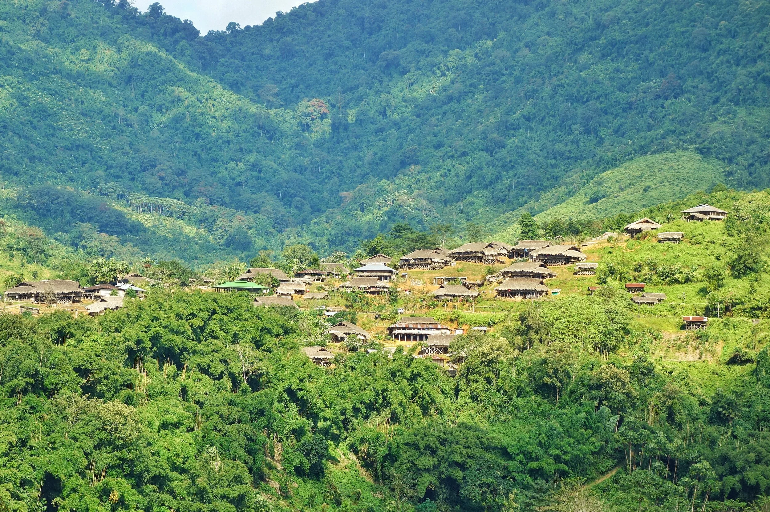
Typical Abor Country
This War which was fought in various segments started in the 1850s when the British began probing into these areas. There is a certain Village called Kebang spearheaded the campaign against the British. These were Adi Tribesmen (they were called Abor collectively by the British) and they fought no less than 4 Wars against the British and they had a name for each ie Bitbor Mimak (1858), Bongal Mimak (1859), Nijom Mimak (1894) and Poju Mimak(1911). The Adi were fierce warriors and towards the beginning of the 20th Century the British started to take them very seriously. They formed an Abor Expeditionary Force in order to penetrate the Region and establish firm control over it. The British were aware of the strategic importance of the area as they knew Tibet and China were not very far away but the territory between was largely unknown and they wanted to be in control of this unknown. But of course the Adis wouldnt have it that way. It was their Land. And they would fight tooth and nail to keep it.
Apparently the last War in 1911 was sparked off by a rather peculiar incident. A British Officer Williamson accompanied by another British Officer Dr.Greigerson, an interpreter, a couple of Coolies and a few Soldiers of the Assam Rifles were surveying the country and came to a Village. The Villagers offered them some gifts as offerings and there was a certain Villager who offered a Chicken as a gift but apparently this Villager had some skin disease and Williamson refused to accept his gift. This was of course a huge dishonour for the Villager who decided from thereon to follow Williamson till he accepted his gift.
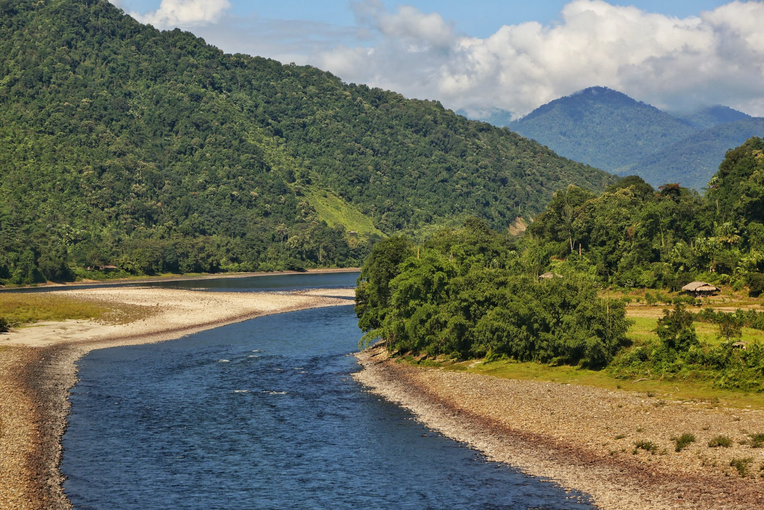
The Siang River
So when he moved to the next Village this Villager again came to him and offered the Chicken. Williamson was aware that this guy was following them and now he lost his temper and he used rough language and bad words in dealing with the Villager and to add insult to injury he struck him a couple of times with his stick. And this was now taken as a great dishonour by the whole Village. And they decided this would be avenged. But they would do this when they would be on their way down to the Plains.
But unknown to the Tribesmen Williamson and Dr.Grierson had a change of plan and decided to split into two different parties on their way back. On the night of March 31 while on his way to Dinner, Williamson was waylaid by the same Villager who had once offered him a Chicken. And killed. And they also killed his whole entourage. Dr.Grierson and his party were waylaid in Kadeng Village and put to death except one of the Coolies who was a Nepali and managed to somehow convince the Adi Tribesmen to spare his life. He of course went down and reported the whole incident to the authorities.
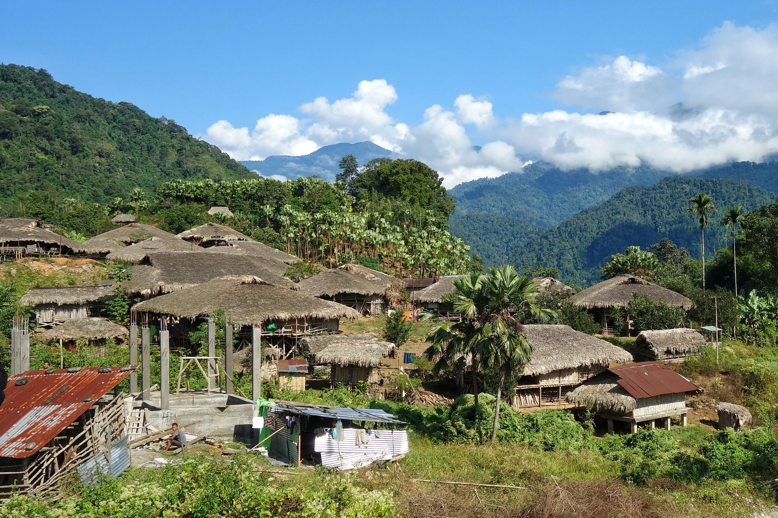
A typical Village in the area
And the Adi knew that now the British will come with full force and in December, the time most suitable to the British, the Abor Expeditionary Force showed up. The Adi fought bravely but of course were no match for the British with their modern Arms. The British marched up the Kadeng Village and the whole Village was then burned down. And there would not be another Abor War for the British to fight.
These Adi Tribesmen are the unrecognised Freedom Fighters of the country who have never got any recognition from the Government. Though I am aware of the name of some of the Adi Tribesmen who were a part of this, including the Villager who wanted to gift a Chicken, but that in my view would be an injustice to the thousands unnamed Adi and other Tribesmen who also fought for the country’s Independence like in other parts of the Country. Respect.
Pic from November 2019. On the Pasighat Aalo Road, Arunachal Pradesh
Inputs from various Online sources.
The Making of the Brahmaputra
The Brahmaputra is one of the great Rivers of the World and its named after the Hindu God Brahma. The Son of Brahma actually. The River originates close to the Mansrover Lake and makes it’s journey across the Tibetan Plateau and then it turns around the Himalayas and finally arrives on the plains of Assam. Its course from the Tibetan Plateau to the plains of Assam was for years an endearing mystery.

The Siang at Ranighat where it becomes the Brahmaputra
The Making of the Brahmaputra
So this year I finally saw for myself the only “Male” River of the Indian sub-continent the mighty Brahmaputra named after the God Brahma and it name means the Son of Brahma. In November though it presented its most benign form to me but it still was an awesome sight. For people used to Rivers in Northern India the Brahmaputra is almost a revelation because of its sheer size. Irs almost like an Ocean and you cant see the other end. I can only start to imagine how it looks after the Snow melt in the Summers and more so when the Monsoon hits and the River floods large areas of the surrounding country.
So we started off from Dibrugarh and made our way to the year old Bogibeel Bridge, which is a double decker Bridge for both Road and Rail and which has been in the making for over 200 months now. The work has been slow on the Bridge as it could only be done between the months of November to March when the rains are away and the water level was low. And it was from this Bridge that I had my first sighting of the mighty Brahmaputra and it looked awesome. In the far background I could see the silhouettes of the Himalayan foothills. And we couldn't help but stop our Cars in the middle of the Bridge and have a look at the magnificent Brahmaputra and its vast Flood plains. The River looked as serene as any body of water could and it was easy to forget that its the same River which wrecks destruction on a massive scale every year.

The Siang
Now understanding the origin of the Brahmaputra was always a complex task for the explorers of these parts which were few and far between. Unlike the Western Himalayas which had a whole lot of Explorers and Spies prying around, this was literally impossible in the Eastern Himalayas due to the dense Jungles which were a result of a lower Latitude (read this as warmer) and three times the amount of Rainfall that falls in the Western Himalayas. And then the thing was that there were three contenders who met at almost at the same location in the Assam plains near Sadiya where the Siang (also called the Dihang), the Dihang or Sikang which came from a more Northwesterly direction and then there was the mighty Lohit which came from an Easterly direction. All these carried enough water to be the Tsangpo. Finally the mystery was solved around 1885 and the Siang or the Dihang was finally established as the Tsang Po from the Tibetan Plateau.

The Tsang Po on the Tibetan Plateau
Starting from the beginning or the Yarlung Tsangpo as its known in Tibet originates from the vicinity of the Mansrover in Western Tibet and flows in an Easterly direction. It has thousands of small tributaries in Tibet with the first main one being the Raga Tsangpo. And then its the Nang Chu, Shang Chu and Rang Chu. Further ahead its joined by the Lhasa River or the Kyi Chu as its also called. And then a couple of other Rivers till the point its reaches the Eastern anchor of the Great Himalayan Range, the Namcha Barwa, at 7782 m, does justice to the Himalayan Range. At this point Yarlun pivots and runs through one of the deepest River Gorges in the World, the Yarlung Tsangpo Gorge and emerges as the Dihang or the Siang in Arunachal Pradesh.
Out of the other two, which along with the Siang form what is called the Brahmaputra once it reaches Assam, the Dibang River rises in the Mishmi Hills which are located where the Himalayan Ranges meets the Indo Burma Hill Ranges. The source of the River is near the Keya Pass somewhere close to the border with China. The third River, the mighty Lohit rises in the Tibetan Plateau and is known there as the Zayu. Its origin lies in the Kangri Garpo Range and it enters Arunachal Pradesh from Tibet and finally emerges into the plains at what is known as the Parshuram Kund. Many people in Assam used to consider the Lohit as the main Brahmaputra and many still do.

The Siyom River meets the Siang
And of course as it moves on through the Plains of Assam its joined by a number of Himalayan Rivers such as the Subansiri, Kameng, Bhareli, Dhansiri, Manas, Champamati, Saralbhanga, and Sankosh rivers. As well as Rivers rising in the Hills on the like the Burhi Dihing, the Disang, the Dikhu, and the Kopili. And then it enters Bangladesh and out of our realm.
Having experienced it now I know why its the only “Male” River in India. I wish to witness its angry avatar. I will return someday.
And below is a picture of the place where the Dihang or the Siang becomes the mighty Brahmaputra and the Eastern Himalayas give in to Plains of Assam and vice versa. In Geographical context this is a place where all your dreams come true. You understand how infinite Nature is and how insignificant we humans are. Yes we did build a Bridge there though.
Pic from November 2019. Above Pasighat, Arunachal Pradesh
Kintup and the Everest of Rivers
The unsung Story of one of the Indian Explorers and Surveyors, popularly called as the Pandits, who went onto Chart the course of the Zarlung Tsangbo as it Journeys through the Tibetan highlands and enters Assam through one of the most unexplored Regions of the Himalayas.

Kintup and the Everest of the Rivers
A lot has been written on the exploration of the Western Himalayas by various Explorers as it was a politically very active region in the 18th and 19th Centuries with various powers come into conflict to push their interests in these parts. In stark contrast very less has been written about the Eastern edge of the Himalayas and even fewer people have ventured into this enigmatic part of the Himalayas. The jungles which surrounded the Eastern Himalayas made them almost impossible to get to and the Weather didn't help as the Eastern Himalayas get 3 times the precipitation that the Western Himalayas do.

And was in the Eastern Himalayas that a great mystery evolved which took hundreds of years to finally decipher and figure it out. It was a great Geographical puzzle and it involved the main River that runs through North East India, the Brahmaputra. Its a huge River as we are aware of and early Explorers wanted to find more and one of the favourite Explorations of these Explorers was the charting of the Route of the River from its source right till where it met the Sea. There are two ways to achieve its objective. You either start from the point it originates or you start from the point it hits the Seas or the Plains. The problem with the Brahmaputra was that tracing it back to the source was almost impossible due to a number of factors. First was the simple fact that the forests in the Foot Hills were impenetrable. And more than that the Tribes and the Indigenous People living in these Hills were very hostile to any outsiders and stories of head hunting were common. And another third point was that at the Brahmaputra was composed of 4 main tributaries which entered India from the East. So which was the main and which one was a Tributary was another question.
And in the highlands of Tibet, which was mostly inaccessible to Western explorers and outsiders, was a great River called the Tsangpo or the Yarlung Tsangpo who’s point of origin was known to be the Mansarover Lake at the foot of the Holy Kailash Mountain but no one was sure of where the River disappeared once it went off the Tibetan Plateau. Westerners who had heard accounts of this great River were also intrigued as to where about this great River go and where did it discharge into the sea. You need to remember that this impenetrable Region into which the Yarlung Tsangpo disappeared was also called Pemako and nothing much was known about it to the outside World. And beyond Pemako draining off the Tibetan Plateau were not one but 5 Great Rivers of Asia who create deep Gorges as they cut through some of the Highest Mountains. The Brahmaputra, the Irrawaddy, the Salween, the Mekong and the Jinsha or the Great Yangtze all flow almost parallel to each other in an area less than a 100 km wide. This Region is a true wilderness and you need to experience it to know how impossible it is to access.

I had travelled to this Region in 2018 and saw the breathtaking sight of the Jinsha or the Yangtze raving and frothing its way through the Tiger Leaping Gorge. Of course Chinese engineering has meant that the area is now accessible and the Chinese Government opened up this area in 1990’s to the outside World. This area is now a World Heritage Area, called the Three Parallel Rivers of Yunnan World Heritage. And as mentioned besides these Three the other two Great Rivers also skirt around the Himalayas in the same region.
Coming back to where we started. This question puzzled western Explorers as well till someone put two and two together and said “Hey, maybe the Tsangpo is the Brahmaputra”. Now at that time this suggestion looked incredible as it was hard to believe that a River would loose all that elevation within a stretch of 150 kms. From the high Tibetan Plateau to the low Assam Valleys. But then it was the only plausible explanation and the two Rivers were connected. There was another school of thought which said that the Tsangpo was actually the Irrawaddy and that also looked like a possibility. Many papers were return and letters were exchanged on both the possibilities. The only way to get a definite answer was to send someone to Tibet and actually follow the course of the River and come up with conclusive evidence which would rest the matter for the future. Hence for many Explorers just like climbing the Everest was the ultimate prize, the same way exploring the Yarlung Tsangpo all the way to the Sea was called a feat equivalent of scaling the Everest, hence the term the Everest of Rivers.

Only there was a problem. Tibet was off limits and there was no chance of Tibetans letting in anyone from outside to Survey their Rivers. So the British decided on the next best option. The Pandits. The Legendary Pandits were Indian natives, mostly from the Mountains, who penetrated deep into Tibet under the guide of Pilgrims or Merchants or a Monks and surveyed the land for the British who ran the Missions from across the Himalayas. Many of us have heard of Nain Singh, Kishan Singh, Kalyan Singh and even Abdul Hamid and Hari Ram. And of course a large number of these Pandits just went into oblivion or disappeared in the Himalayan vastness their stories mostly untold. And then there was Kintup. Kintup the Tailor.
Kintup was a Tailor based in Gangtok in Sikkim and he was also an Explorer and could pass off very well as a Tibetan. The first time one of the Pandits, Nem Singh was sent to explore the course of the Yarlung Zangbo and Kintup went along as an assistant in 1878. Their Mission was to chart the Route all the way from the Tibetan Plateau to Assam. They partly succeeded but due to the inherent impenetrable ness of the Terrain there was still a gap of 160 kms which they couldn't explore. It is said that though Kintup wanted to push on but Nem Singh wasn't so keen on the same and both returned to India where their British bosses were not too pleased with Nem Singh’s decision to come back without exploring the complete course of the River.
In a couple of years an Expedition was put together again and Kintup was again a part of it along with a Chinese Lama who said he knew these parts. And just to be sure they came up with a ingenious Plan which didnt require Exploring the whole course but one that would still prove that the Yarlung Tsangpo was infact the Brahmaputra of Assam. The Plan involved floating down 500 logs with special carvings the Yarlung Tsangpo and stationing teams of people in lower Assam to watch out for these Logs and even if one log was picked up by the team it would mean that the mystery was solved. Sounded like quite a plan and so the Expedition was soon underway.

But as fate would have it the Chinese Lama turned out to be treacherous. And once they were in the Kham he revealed his secret as well as that of Kintup to the Tibetan Authorities and he was rewarded for the act while Kintup was thrown into the prison. But after a few months Kintup managed to escape and made his way to Monastery. His captors soon caught up with him but the Head Lama of the Monastery bought them off by giving them some money and now Kintup was in the employment of the Head Lama. He worked very diligently for the Lama and I assume he took a liking for his spirit and the Lama decided to give him his freedom. What Kintup did next speaks for the character of a man. Kintup decided to go to Lhasa and sent a message to his British boss from there narrating the misfortune that had befallen him during the Expedition but at the same time he said that he would carry out with his Mission and he would soon start sending the Logs down the Yarlung Zangbo.
And that is what he did. He collected 500 logs and carved them and floated them down the River at the rate of one log per day. But unfortunately there was no Team to look for them as his message had not reached India and it had been more than a year since he had left and had no communication with his Bosses. They had just given up on him. Another Explorer lost in the vastness of the Trans Himalayas. After having done that Kintup decided to again explore down the course of the River anyways. He spent a couple of Years exploring the the Region and came quite close to reaching all the way down to Assam but again the terrain and the hostile Tribes made it impossible and Kintup decided to return to India. And he was almost lost in oblivion until someone took interest in his Journals and these were finally published in 1889, many years after he had returned from a Journey that few could even imagine possible.

His Journal conjured up a magical World of Deep Gorges, Waterfalls and Impenetrable Jungle with hostile Tribes. A Region that the Tibetans used to call Pemako. It inspired many people to go Explore the Region but many people were also sceptical as there was no way to confirm all the information that he had got. He in particular mentioned a 150 feet high Waterfall with a Lake at its bottom. This is what was called the Hidden Falls. Kintup still accompanied the occasional forays into Tibet but it was finally only after 1905 when the British led by Col.Francis Younghusband defeated the Tibetan and the area was opened that the British realised that Kintup was right in all his observations. Though he wasnt literate but he had an excellent memory and was intelligent as well to minutely observe his surroundings. It took more than 15 years for observations to be validated and added to the Survey of India archives. The final validation of his extraordinary Journeys and Explorations was validated by a team of Explorers sent to run the Course of the River. They were also astounded to find out how accurate Kintup was. And yes he was still around in 1914. They found the Hidden Waterfall as well though it wasn't as high as Kintup had mentioned.
Anyways the area was closed for further Explorations after the Chinese took Tibet and in wake of the Sino Indian conflict the whole area was off limits. And as I mentioned before the area was opened for foreigners only in the 1990s and two Expeditions one Japanese and one Western tried to Canoe/ Raft down the Yarlung Tsangpo but both lost a member each and couldnt complete the Mission. It was only in 2002-2003 that the first Expedition finally succeeded in navigating the Upper Brahmaputra. The highest Falls was visited and recorded again in 1998 when it was found out to be around 108 feet. And then it later dawned upon the Explorers that Kintup who always got his Maths right hadn't misjudged the height. He was talking about a seperate Waterfall which was made by a Tributary of the Yarlung Tsangpo as it fell over a Cliff.

The person responsible for this was Richard Fisher who first established this as one of the Deepest Gorges of the World. Fisher further goes onto mention about the “Everest of Rivers”comparison “"I did not want this incredible canyon to become an Everest-style killing fields." This canyon cannot be "knocked off" or conquered. Everest is a holy mountain as the Tsangpo is an equally important sacred canyon. Everest represents the male earth and the Tsangpo, the female hidden lands of this planet. It is a great blessing for all those who love the earth that, god willing, we have passed into a new era for the Tsangpo. This living canyon has withstood an almost military western style assault. "Today this chasm remains as elusive, beautiful and fresh as the first day I saw it in 1992," Fisher said.
As for Kintup he died in 1914 only months after he was officially recognised for his contributions and given a princely sum of Rs.3000 for his endeavors.
PS : The Yarlung Tsangpo Gorge it still remains a impenetrable area and even if you Google for pics you would find only a few and far between giving you an idea of how remote this Region still is.
Kiki’s Blog
Stories from the Himalayas








Five years ago the Galwan Valley was in the News for the wrong reasons after a deadly clash between the Indian and Chinese Armies in the Valley located in Ladakh lead to many deaths on the contentious Border between the two countries in wake of continued Chinese intrusions into Indian territory.
This area along the Shyok River, of which the Galwan Nallah or the Galwan River which forms the Galwan Valley has been off limits to Civilians since long but now the Indian Government has decided to open up the area for Civilians and we were amongst the First Civilians to venture into this beautifully desolate part of the Eastern Karakorams in Ladakh. Earlier Civilians could only venture upto the Village of Shyok from where the Shyok River takes a U turn and flows in a Northerly direction.