
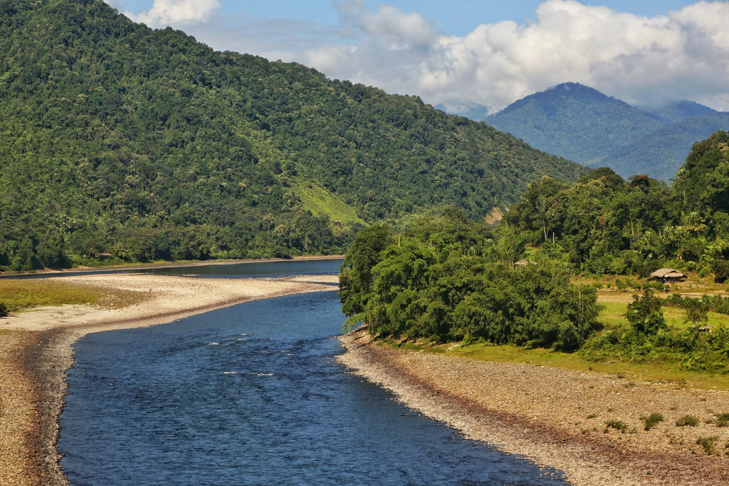
Of Mountains and Rivers
One of the most interesting thing about the Himalayas is how the Rivers interact with the Range and how the River Basins work. Since none of us is taught this in school in the Geography class the way one can study this fascinating aspect is to study Maps. Not the Maps of the new but the old Maps made by the Geological Surveys and the Royal Geographic Society Maps. The kind of detailing in these Maps is amazing when we keep in mind the fact that it was all done by boots on the Ground. No Aerial or Satellite Cartography.

Of the Himalayan Mountains and the Rivers
One of the most interesting thing about the Himalayas is how the Rivers interact with the Range and how the River Basins work. Since none of us is taught this in school in the Geography class the way one can study this fascinating aspect is to study Maps. Not the Maps of the new but the old Maps made by the Geological Surveys and the Royal Geographic Society Maps. The kind of detailing in these Maps is amazing when we keep in mind the fact that it was all done by boots on the Ground. No Aerial or Satellite Cartography.
And I finally found a Map which shows the River Basins / the Mountains / the Ridgelines / the Water Partings in a very simple and lucid fashion. Of course there are some explanations required for the un-initiated in the fine art of reading Maps. Not only does it show the Water Basins in the Himalayan context but it also shows the neighbouring River basins and how the Mountains affect the Course of the Rivers. You also need to understand that its this conflict between the Rivers and Mountains which has created the Valleys which has enabled Human communities to inhabit the Mountains.
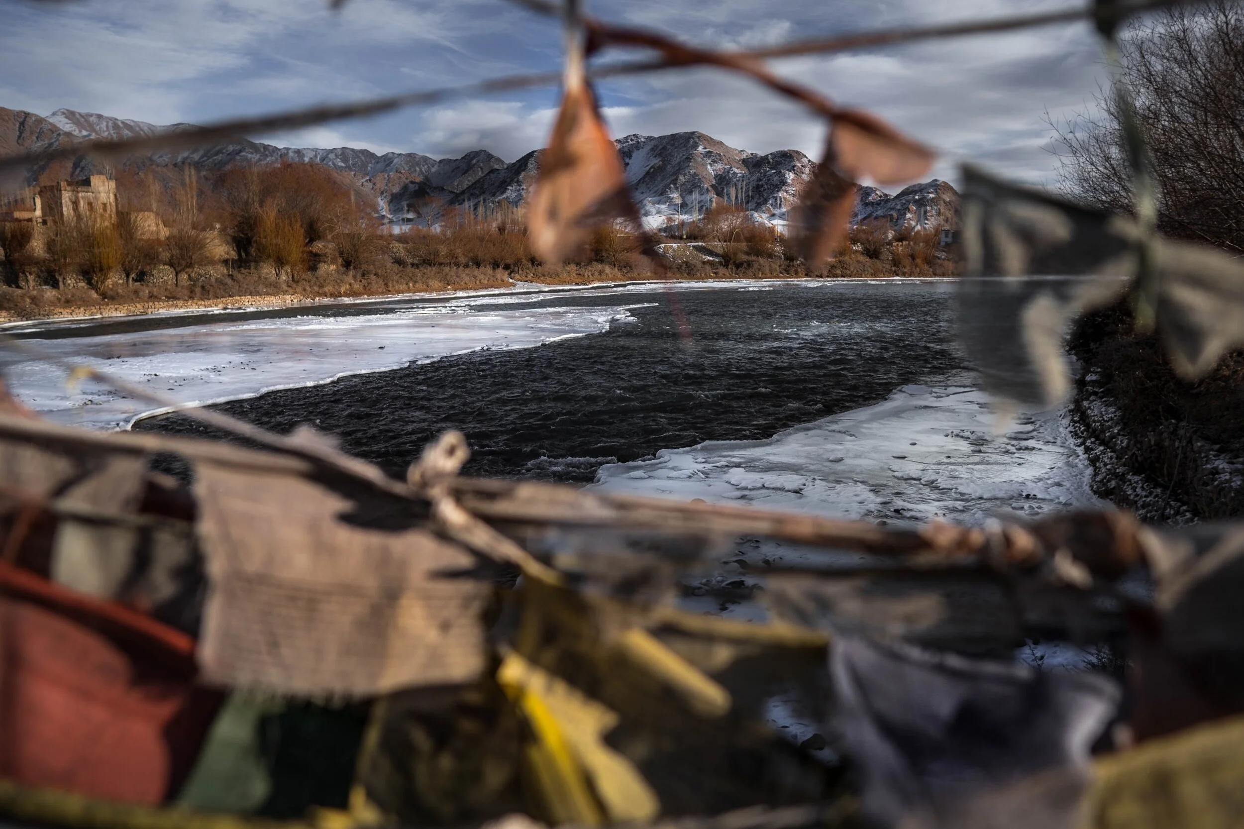
In the Himalayan context the Three main Rivers which drain the Himalayas are the Indus in the West, the Ganges in the Middle and the Brahmaputra in the East. It is common knowledge that the Indus and the Brahmaputra which rise from almost the same vicinity of each other near the Mansarovar Lake in the Tibetan Plateau hem in the Great Himalayan Range from the opposite sides. The Indus forms the boundary on the West as it passes by the Nanga Parbat and the Brahmaputra forms the boundary on the East and it rounds off the Namcha Barwa in the East. The Indus and the Brahmaputra both never breach the Main Himalayan Ridgeline and run alongside but behind the Main Himalayan Ridgeline on the Tibetan Plateau. Both flow along what Geologists call the Indus Tsangpo Suture or divide in simpler terms. I would also like to mention one major River which actually cuts through the main Himalayan Ridge line and forms the Eastern boundary of the Western Himalayas. This would be the Satluj which coincidentally also originates around the same area as the Indus and the Brahmaputra (which is called Tsangpo in Tibet) and follows an independent course cutting through the Himalayas though it finally ends up in the Indus once it reaches the Great Plains of the Punjab.
Beyond the Basins of the Himalayan Rivers we have in the neighbourhood the Tibetan Basin though a part of the Tibetan Plateau is drained by these Himalayan Rivers themselves. Further North the main Ridge line of the Karakorams forms the Water Parting between the Himalayan Rivers (the Indus system) and the Tarim Basin. The Tarim Basin is itself separated from the Tibetan Basin by the Kunlun Mountains. To the West of the Tarim Basin separated by the Pamirs in the South and the Tian Shan in the North is the Central Asian basin of the Oxus and Jaxartes of the old. The names Oxus and Jaxartes were enough in the old times to induce Explorers to go into a frenzy so inaccessible these areas were. However nowadays the Oxus and Jaxartes are better known by their present names, the Amur Darya and the Syr Darya. On the southern Edge the Oxus and Jaxartes Basin is separated from the Himalayan River Basin by the Hindu Kush. Further down the sub Ranges of the Hindu Kush like the Sulaiman Mountains divides the Himalayan River Basin from the Helmand River Basin. This rounds off the Water Partings of the Indus in the Western Himalayas.
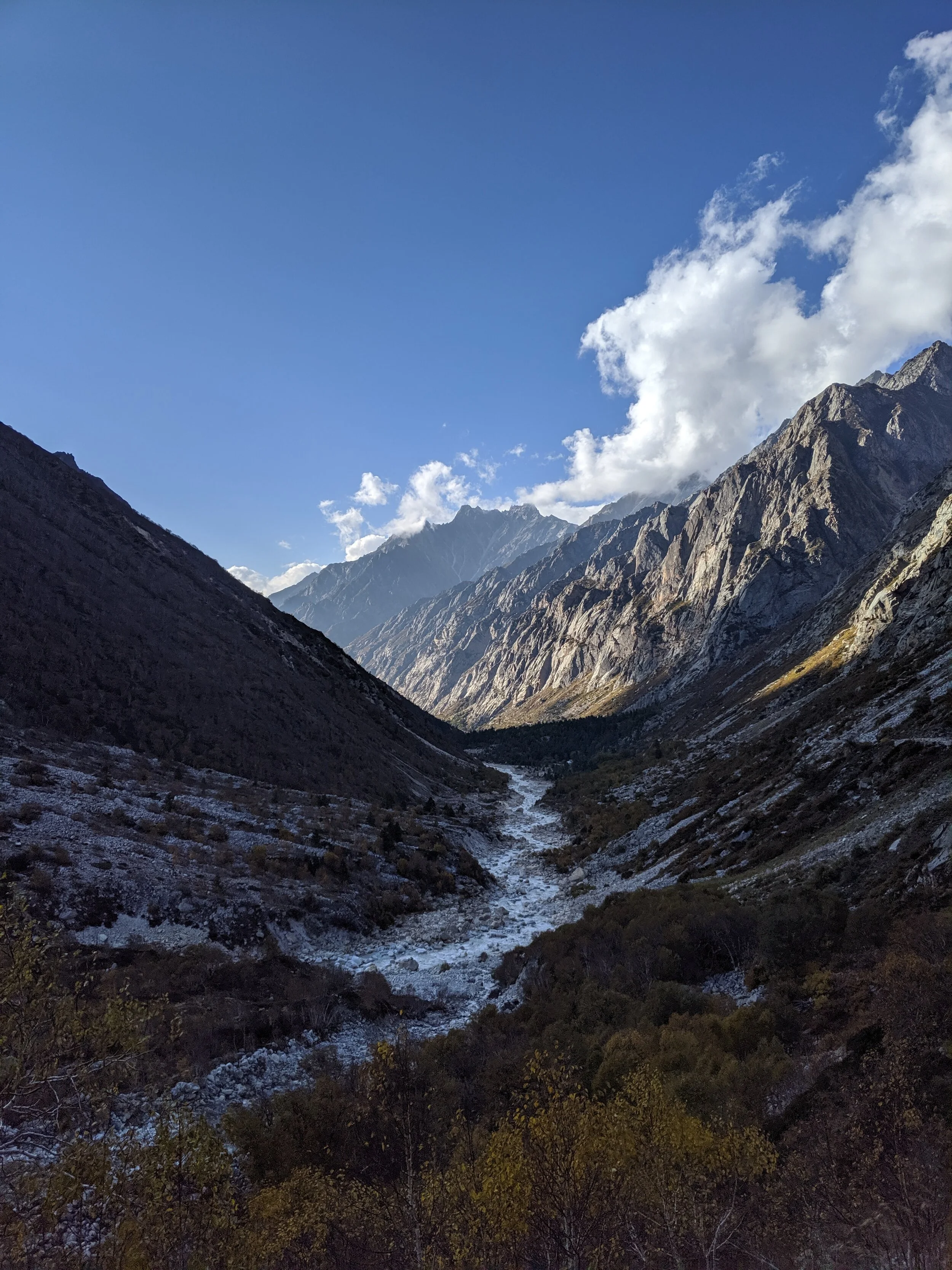
If you follow the Indus River in the Map you would see that after the point of origin the Main Waterparting of the Rivers runs behind the Main Himalayan Range rather than along the Main Ridge as classically should be the case. However at the point roughly at where it enters Ladakh from the Tibetan Plateau the River aligns itself with the Main Himalayan Range and continues the same course all the way to the Nanga Parbat where the Great Himalayan Range ends. The Water Parting however moves North towards the Karakorams and even across the Karakorams as seen in zone H. Close to the K2 however the Water Parting again moves along the main Himalayan Ridge line. But then after following the Main Ridge line of the Karakoram to West it again goes beyond the Karakorams as seen in zone C. It continues this trend until its behind the main Ridgeline of the Hindu Kush till at a point beyond the Tirich Mir it again aligns with the Main Ridge line to deviate again to form Zone B all the way to the Helmand Basin.
In pretty much the same way the Water Parting of the Tarim Basin also jumps beyond the Kun Lun, the Pamirs and the Tian Shans at places but it doesn't jump the main Ridge Line of the Karakorams as the reigning Peak of the K2 brings in a semblance of order and the Water Partings follow the K2 in the classical mode (I know this is complicated but once you co-relate with the Map and do some readings it will become more fascinating). Interestingly in the Hindu Kush its the highest Peak of the Hindu Kush the Tirich Mir which forces the Water Parting to run along the main Ridge line just like its supposed to be classically. However a point to be noted is that the Indus never concedes any of its “Mountains” the Western Himalayas or the Karakorams or the Hindu Kush to any River though itself it pushes its Basinal boundaries to well into the Kun Luns, the Pamirs and the Tian Shans though not quite making it to the main Ridge line.
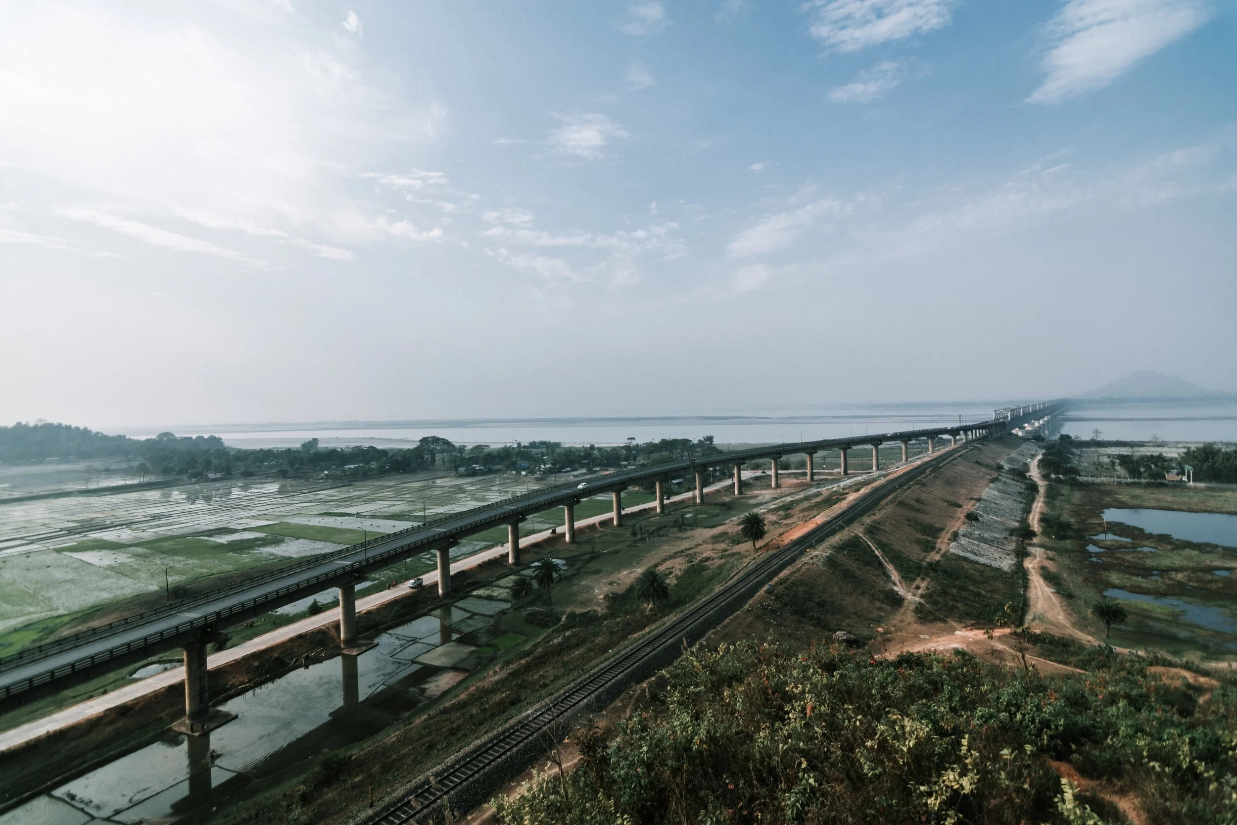
And of course as we all the Mountains are rising and the Rivers are just cutting the Gorges and the Valleys and this state of flux will continue over a period of time till the end of time. And because of this constant change the Water Partings are not as fixed or permanent as we would like to believe. They are also constantly changing and evolving in a Geological time frame. This also shows how the Rivers and the Basind connect these highest Mountains in the World in a closer relationship than we actually believe. The River and the Basins provide the linkages which connect the Himalayas with the Karakorams, the Hindu Kush, the Kun Lun, the Pamirs and the Tian Shans. I collectively like to use the term “Himalayas” when talking about all these Ranges and the Great Himalayan Range when I am referring to the Main Himalaya Range. The highest Range on the Planet.
May we one day get to behold the magnificent sights that these Mountains hold and their mighty Peaks. And may we one day get to drink water from all these Rivers. The transition zones between these Himalayas is probably even today one of the least explored in the World and they continue to hold their Mysteries, occasionally revealing them to us mere Mortals.
When Two Great Gamers Met in High Asia
When two of the great Great Gamers from each side, Younghusband from the British Empire and Grombchevsky from Tsarist Russia met on the high Mountain wilderness on the other side of the Himalayas.
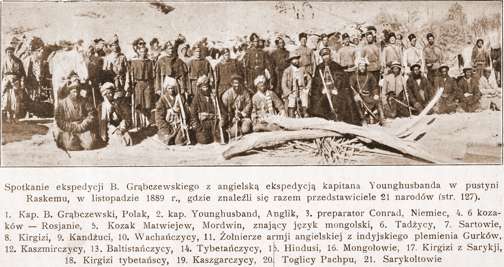
When Younghusband met Grombchevsky
When the Two Great Gamers Met in High Asia
The Great Game was game of intrigue and one upmanship played between the two Greatest Empires of that time, the British Empire and the Tsarist Russian Empire that was played in the most of the Nineteenth Century. At stake for the British was the Jewel in the Crown, the Indian sub-continent while for the Tsarist Russia it was their Empire in Central Asia. Both these Empires met somewhere in high Asia in the midst of the Mountains of the Great Himalayan System.
The British had constant nightmares of Cossacks riding over the great Mountains and making a dent in their Indian holdings. The fact that Tsarist Russia overran most of Central Asia during this time and that a body of Cossacks now sat on top of the Wakhan not very far from the Kashmir territories did not make things comfortable for them either. The Great Game was played in a region stretching from Persia to Afghanistan over to India and Tibet and the whole of Central Asia.

Sir Francis Younghusband
There have been many Western Explorers who went on different assignments in these Mountains but one of the key reasons was always to find out more about the Politics and the Geography of the regions which were not under the Control of the Empire. The frontiers of the Punjab Empire of Maharaja Ranjit Singh were a key target as they bordered the wilds of Afghanistan as it slowly gave way to Central Asia. Also of great interest to them were the Routes that were traditionally taken from Kashmir via Ladakh into Central Asia. The Cossacks had a reputation and the British wanted to have the information on all the possible Routes that the Cossacks would take in case they decided to lay their claim on the Jewel in the Crown.

Younghusband's Route from Peking to Kashmir over the Mustagh Pass
One of the great players of the Great Game from the English side was the well know Gentleman, Sir Lt. Col. Francis Edward Younghusband. He was born at Murree and joined the Military in the footsteps of his father and elder brother. His first achievement was to make a Journey through Manchuria and China mainland and onto the Takla Makan into the Tarim Basin and from there onto the fabled Central Asian Khanate cities of Kashgar and Yarkand and from there over the Pamirs and the Karakorams over the Mustagh Pass into Kashmir and finally into British territory. He led several other expeditions into the Mountains and he led the British invasion of Tibet in 1903. He has been widely accepted as a great Explorer and Soldier. More on him and his Expeditions in a later Post.
On the Tsarist Russian side also there was no dearth of Men who were no less. One of the most accomplished players from their side was Bronislav Grombchevsky, an Officer in the Russian Imperial Army of ethnic Polish descent. He led many expeditions into Kashgaria as the region of the Tarim Basin in the late 1800s. This Region was of great interest to the three Empires which met in the vicinity, the third one being the Chinese Empire. The region of Kashkagia was a Khanate ruled by the insolent Ulugh Beg, who tried to balance the influences of all these three Great powers in his own tyrannical way. Among his missions were an expedition along the Gilgit River with his Cossacks which led to alarm bells ringing in the British Empire and were one of the reasons for the Hunza Chitral missions of the British Army to subjugate the errant local Rulers and which eventually ended in Gilgit being taken on lease from Maharaja of Jammu and Kashmir and the creation of Gilgit Agency.
One of the most interesting Event that took place between these two contemporary Giants of the Great Game took place in 1889. Captain Younghusband, as he was at that time was despatched with a small detachment of Gurkha soldiers to explore unknown regions of Northern Ladakh where the trade between Ladakh and Yarkand had been disrupted by Hunzai raiders. While on this mission Capt.Younghusband’s detachment was camping somewhere along the wilds of the Yarkand River. As it so happened Grombchevsky and his detachment of Cossacks were Camping somewhere in the vicinity as well. Two great European officers of competing Empires (the largest in the World at that time and the most powerful as well) were camped close to each other in High Asia, an unknown Mountainous wilderness where India met Central Asia. Of course they had to meet as these Officers were also Gentlemen.

Bronislav Grombchevsky
Bronislav Grombchevsky sent an invitation to Capt. Younghusband to come over to his Camp for dinner. Capt. Younghusband accepted the offer. So the Capt with his Gurkha escort went over to meet his Russian counterpart. It is said they sat late into the night having a Gentlemanly discussion on the current situation and the Great Game intrigues. Apparently over copious amounts of Vodka served by the Russians Capt.Younghusband candidly asked Grombchevsky about any Russian plan to invade India through these mountains. Not really sure what Grombchevsky had to say on this but he made a point by telling his Cossacks to put on a display of their legendary Horsemanship in front of the British Captain who is said to have been suitably impressed. After the Cossacks were through with their performance Captain Younghusband told his Gurkhas to put on a Rifle drill for his Russian hosts. The Drill along with the Gurkhas brandishing their Khukris to the cry of “Jai Maha Kali, Ayo Gorkhali” are said to have impressed Grombchevsky even more as it was quite unlike anything he and the Cossacks had ever seen before. The Captain made his point and he made it well.
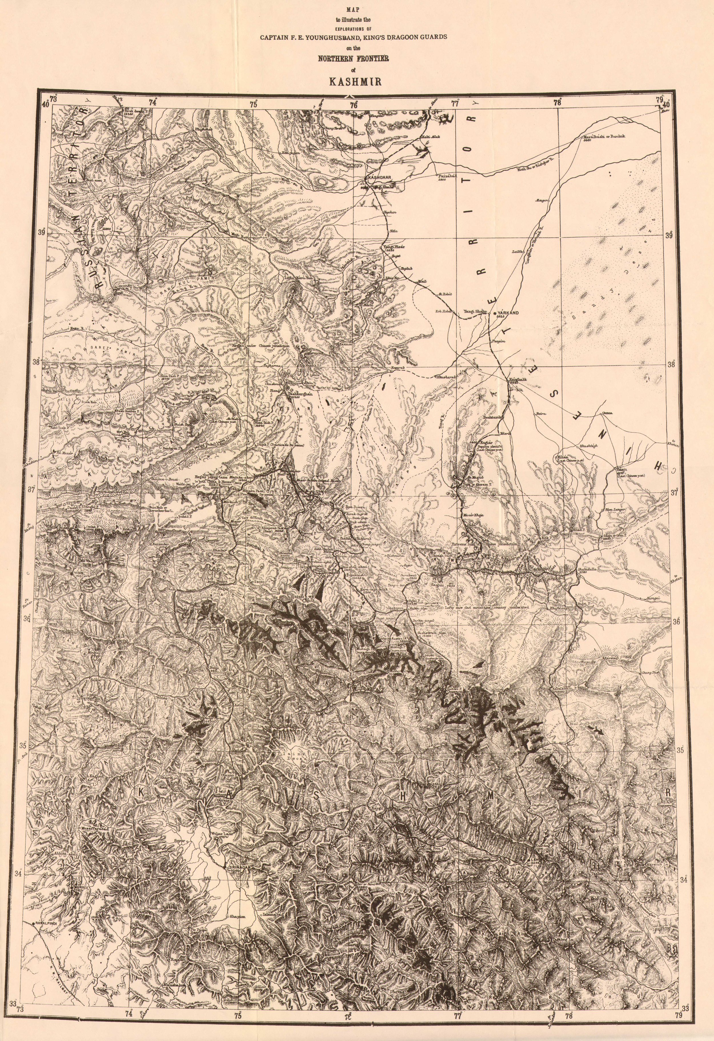
The Northern Frontier of Kashmir by Francis Younghusband 1880
The night over both parties parted, Capt Younghusband carried on with his explorations in the Karakorams while Grombchevsky continued on his way towards Tibet.
The Russian invasion of India through High Asia over the Mountains never happened and the Great Game became a fascinating chapter in History.
Of that famous meeting between the two European Officers in High Asia with their Cossacks and Gurkhas still exists and I m posting that here. Interestingly the pic is from Russian sources and besides the Officers and Soldiers from each side it mentions the ethnicity of the people who were a part of the respective retinues are mentioned. We find Tajiks, Sartowie (?), Kirghiz, Kunduzi, Wakhani, Kashmiri, Baltistani, Tibetan, Hindu (Indian ?), Mongol, Saraiki, Kirghiz Tibetan, Kashgari, Togily Pachpu (?) and Saraikoli mentioned.
In the pic we see Capt Younghusband in the center left wearing a hat with his Gurkhas behind and other members of his party on his left. On the right is Grombchevsky with his Cossacks behind him and other staff on the right sitting on the Ground.
Pic from November 1889. Somewhere in the Raksam Valley on the Yarkand River.
Kiki’s Blog
Stories from the Himalayas








Five years ago the Galwan Valley was in the News for the wrong reasons after a deadly clash between the Indian and Chinese Armies in the Valley located in Ladakh lead to many deaths on the contentious Border between the two countries in wake of continued Chinese intrusions into Indian territory.
This area along the Shyok River, of which the Galwan Nallah or the Galwan River which forms the Galwan Valley has been off limits to Civilians since long but now the Indian Government has decided to open up the area for Civilians and we were amongst the First Civilians to venture into this beautifully desolate part of the Eastern Karakorams in Ladakh. Earlier Civilians could only venture upto the Village of Shyok from where the Shyok River takes a U turn and flows in a Northerly direction.