

Chorbat Valley : Where Ladakh Gives Way to Baltistan
So where exactly does Baltistan begin and Ladakh end ? Well to be honest there is no such defined physical feature but most consider the Chorbat Valley as a part of Baltistan rather than Ladakh. In the pre-partition days Chorbat was an “Ilakka” in the Baltistan Wazarat. Geographically the Chorbat Valley starts at the point where the Shyok Valley narrows and becomes a Gorge before the Village of Bogdang. Bogdang is considered the first Village of the Chorbat Valley and hence the first Village of Baltistan. Technically it lies sandwiched between the Ladakh Range and the Karakorams.
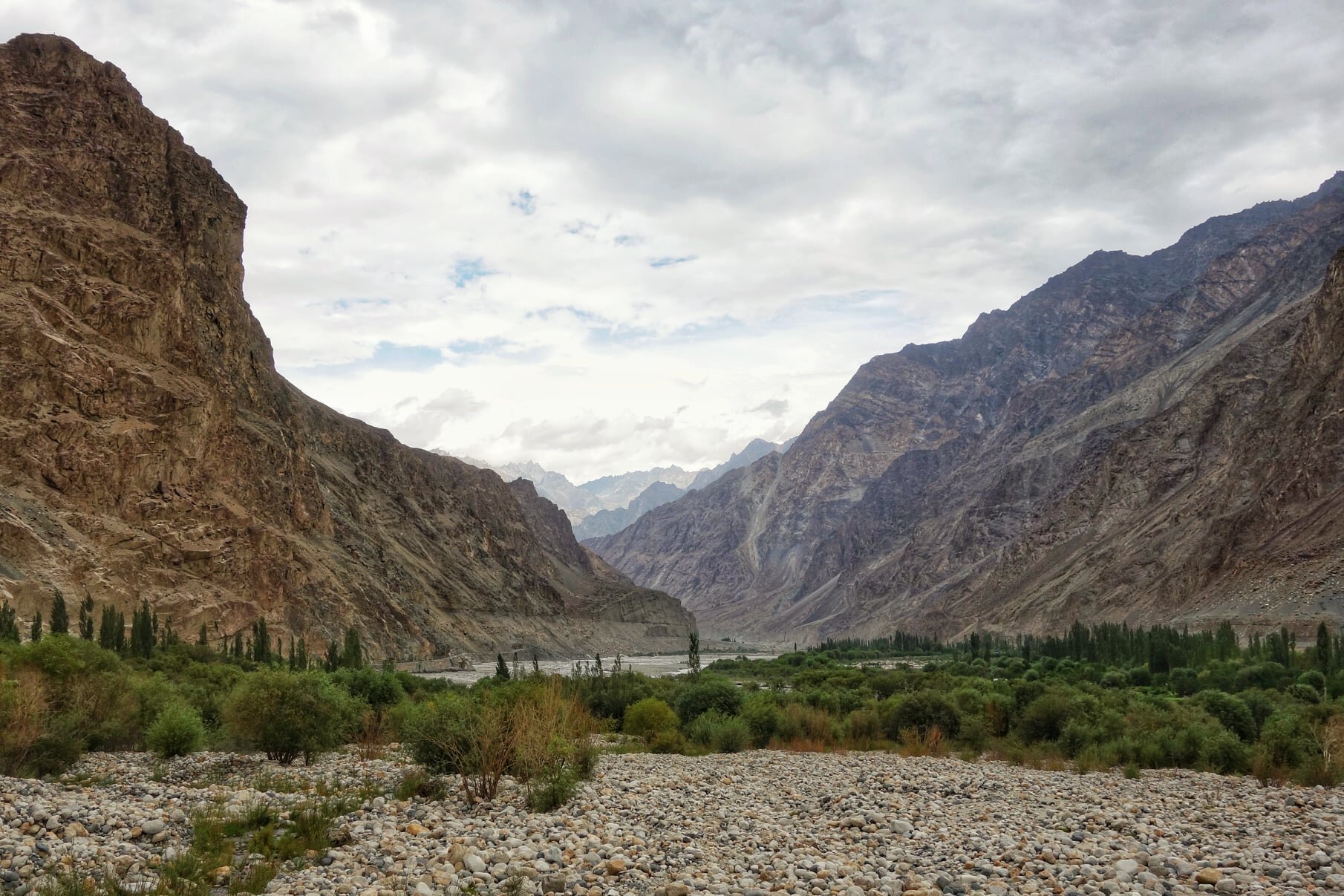
The Chorbat Valley at Turtuk
Many of us have traveled to Ladakh and many have visited the Nubra Valley and of course Turtuk is now a famous destination because of its Balti culture. Infact technically Turtuk lies in what was traditionally Baltistan though now divided by the Line of Control with most of Baltistan being on the other side though a small sliver of Baltistan lies on the Indian side. And most people are also aware of the fact that Turtuk came under Indian control in 1971.
So where exactly does Baltistan begin and Ladakh end ? Well to be honest there is no such defined physical feature but most consider the Chorbat Valley as a part of Baltistan rather than Ladakh. In the pre-partition days Chorbat was an “Ilakka” in the Baltistan Wazarat. Geographically the Chorbat Valley starts at the point where the Shyok Valley narrows and becomes a Gorge before the Village of Bogdang. Bogdang is considered the first Village of the Chorbat Valley and hence the first Village of Baltistan. Technically it lies sandwiched between the Ladakh Range and the Karakorams.

Chorbat as shown in the Classical Starchey’s Map of 1858

Chorbat as seen on Google Satellite View
The first Village being Bogdang, the next one is Chalunka and then its the biggest Balti Village, the famous Turtuk. Most people assume that Turtuk is the last Village before the LoC but its not. There is Tyakshi beyond Turtuk where one can go with permission and beyond Tyakshi lies the last Village on the Indian side of the LoC called Thang. One is allowed to go beyond Tyakshi but not all the way to Thang. One can see the Village of Thang from a distance though one is allowed to go to Thang only if one is a local or has relatives in the Village.

The first view o Thang
Though I was lucky enough to manage to go all the way to the Village and have a walk around and also got to Pluck Apricots for which the Region is famous. The Apricots of this area are jus something else. And from Thang in the distance one can see the Greenery of the first Village on the other side called Franu. Of course many people from the Villages who have relatives on the other side and have long demanded ease of Travel.

A sign welcoming you to the Northernmost Village of India

The first House in Thang
Infact in 1947 only Bogdang and Chalunka were on the Indian side but in 1971 Indian Forces took Turtuk, Tyakshi and Thang and overnight these Baltistani Villages became a part of India instead of Pakistan. Historically the Chorbat Valley which stretches from Bogdang all the way to Khaplu where the Shyok Valley opens up again. There are 13 Villages traditionally in the Chorbat Valley with 5 of them on the Indian side now. Also the Chorbat La was a traditional Pass which connected Ladakh with Baltistan from the Dah side along the Indus side.

The Starting point of the Chorbat Valley

The start of the Chrobat Valley where it widens up.
Chorbat was also a small Kingdom with the Capital at Siska which was also called Chorbat though later the Capital was moved to Turtuk and many Members of the Royal Family still live in Turtuk including the “King” who many people have had the pleasure of meeting in Turtuk. The Gentleman also has a very interesting Museum which has a Collection of old Personal and Royalty related items.

The Apricot Fields of Franu
And Chorbat was always heavily influenced by Ladakhi culture as well which is only expected as both Ladakhis and Baltis are of Tibetan stock and have various similarities especially in Language. Infact the Balti script and language is considered the closest one to Old Tibetan. This just adds another colorful dimension to the area known as Chorbat which is not really well known on the Tourist circuit.

One of those Natural Cold Storages common in the Region

The Green Fields of the Village of Franu across the Line of Control
Shyok : The River of Death
The name of the Shyok River in the local language means the “River of Death”. True to its name its still as wild and furious as it used to be. This is the story of the Shyok and its notorious reputation.
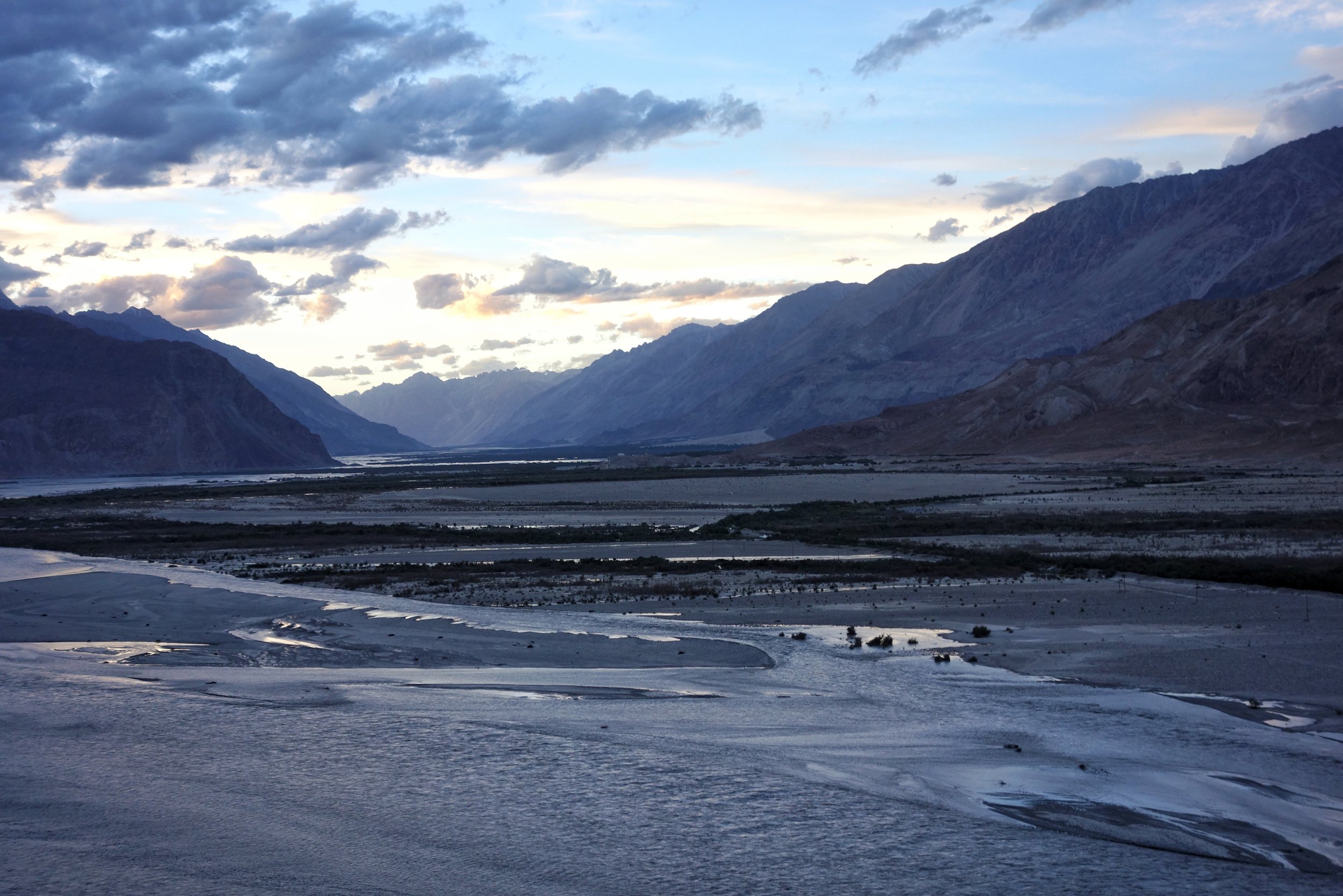
The vast flood plain where the Shyok meets the Nubra
Shyok : The River of Death
The Shyok. A wild River which rises in the Rimo Glacier which is one of the branches of the Siachen Glacier in the Karakorams and and its one of the biggest Glacial systems in the Trans Himalayas. The Glacier is more famous for the dubious distinction of being the highest battlefield in the World.
That the name of this River rising from this Glacier means “The River of Death” in the Ladakhi/ Yarkandi language is rather a matter of coincidence and does not stem from the same reference. It comes from the fact that during the journey North from Leh towards Yarkand in Central Asia the River had to be crossed multiple times. In fact for the Winter route the Shyok had to be crossed a total of 22 times. But the upside was that it was comparatively the easiest to cross in the Winters. Many Men and pack animals were swept away by this River and hence it ended up with the notorious name and a deadly reputation. Thankfully nowadays there are many Bridges over the River which enables one to cross over safely.
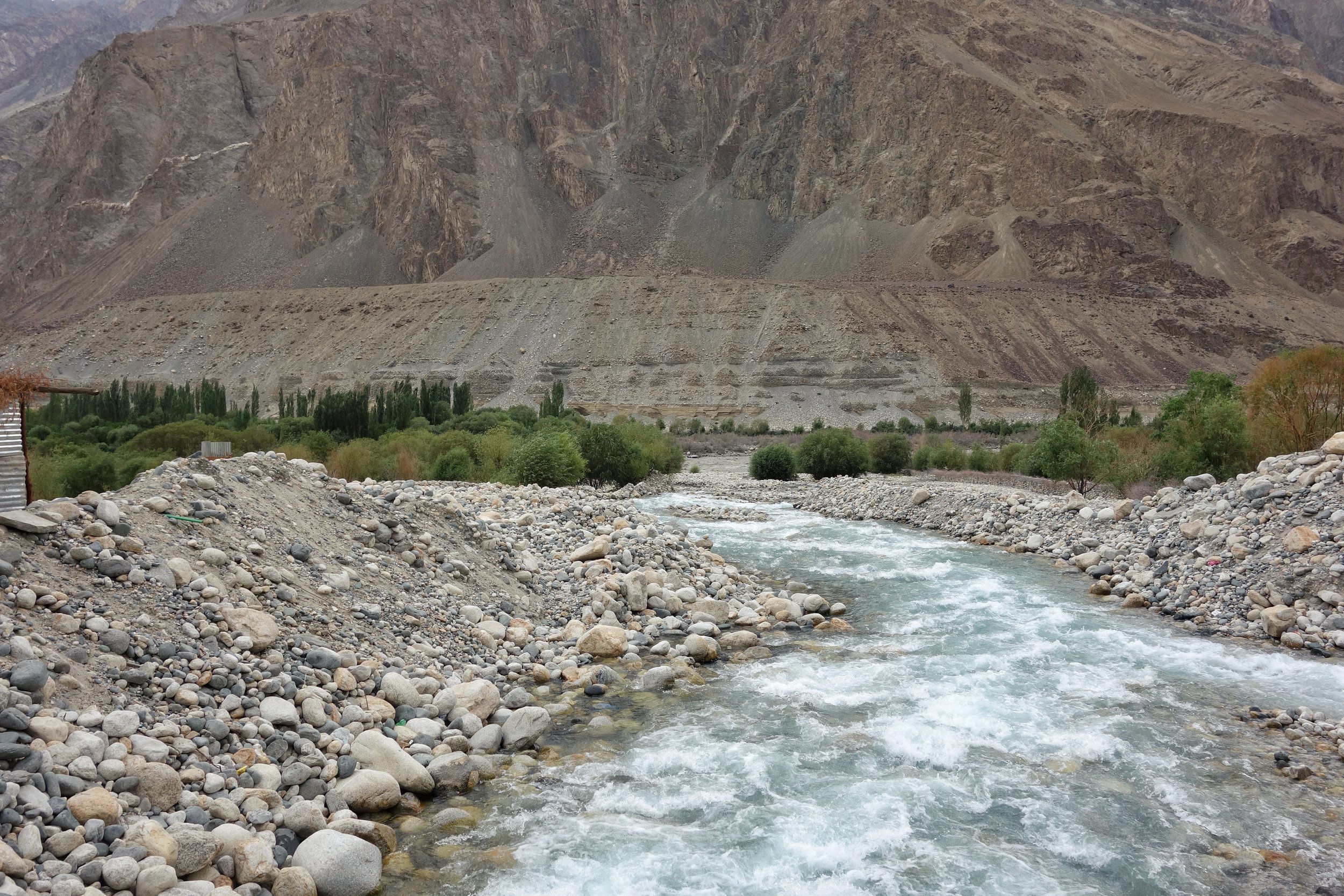
An unamed Tributary coming down to meet the Shyok
From its point of origin the Shyok the River flows in a Southerly direction and is joined by the Galwan and the Chang Chenmo Rivers. In this area the Shyok forms a boundary between Ladakh and Tibet. And then the River takes a u turn and starts flowing North from somewhere before the Village of Shyok. This has been attributed to the fact that the Shyok flows through one of the main Tectonic fault lines that separates the Himalayas from the Karakorams. The Shyok is still considered the landmark that demarcates between the two mightiest Ranges in the World. So when you descend from the Khardung La the Mountains you see beyond the River are the Karakorams.
Strangely the whole area through which the Shyok flows beyond Khalsar is referred to as the Nubra Valley where as the Nubra is a just a tributary which joins the Shyok in vast flood plain just before the Village of Diskit. Like the Shyok also rises in the wilds of the Karakorams / Trans Himalayas and heads South like all good Rivers do but the same phenomenon which causes the Shyok to take a U turn compels the Nubra to also join along the Shyok.

The point at which the Shyok enters Pakistan controlled territory across the LOC in what used to be Baltistan.
And the Shyok continues its journey North as it enters what was historically the region of Baltistan somewhere before the Village of Turtuk which is well known Tourist destination now. And beyond Turtuk it passes Tyakashi and finally the last Village on this side of the LOC Thang and then flows into Pakistan controlled territory.
Once there it is further joined by the Shigar River which carries the glacial waters from the Baltoro and the Biafo Glaciers. It passes by the town of Khapalu and finally merges with the Indus at Keris, a town to the East of Skardu. A total journey of around 550 kms through some of the most hotly contested border areas between India, China and Pakistan. From the Siachen to the being the dividing line between India and China to again heading up the LOC at the head of the Nubra Valley. Its almost the like the nomenclature “The River of Death” has a new context. A much deadlier one.
One can now travel almost 190 kms along the length of the River from the Village of Shyok all the way upto Thang at the LOC. Like I did last week and the River of Death was in all its fury especially where the Valley became narrower. And we had a narrow escape when a landslide hit just a few minutes as we were driving along the River. If it would have hit us we would have been swept away into the wild Shyok and the River would have again lived upto its reputation.
Posting a Video which was shot the next day when the Road open after crews came in from the Thoise Airport to remove the landslide debris. The next day also when we reached Men and Machine were hard at work to remove the last of the debris. The Video was shot as we waited for the all clear to cross affected part.
Next time you are there do pay your respects to the Shyok, the River of Death
Kiki’s Blog
Stories from the Himalayas








Five years ago the Galwan Valley was in the News for the wrong reasons after a deadly clash between the Indian and Chinese Armies in the Valley located in Ladakh lead to many deaths on the contentious Border between the two countries in wake of continued Chinese intrusions into Indian territory.
This area along the Shyok River, of which the Galwan Nallah or the Galwan River which forms the Galwan Valley has been off limits to Civilians since long but now the Indian Government has decided to open up the area for Civilians and we were amongst the First Civilians to venture into this beautifully desolate part of the Eastern Karakorams in Ladakh. Earlier Civilians could only venture upto the Village of Shyok from where the Shyok River takes a U turn and flows in a Northerly direction.