
The Karakorams in India

The Karakorams as seen from a flight coming into land at Leh.
The Karakorams in India
The Karakoram, with its named derived from the Turkic word "Kara' meaning Black and "Koram" meaning Gravel. These impenetrable Mountains were seen as citadels and Towers of black gravel by the Central Asians and hence the name. They were also referred to as the Muztagh which meant Ice Mountain by the Western Explorers as well. The term Muztagh is now used to denote the sub Ranges of the Karakorams. As per some historians they were referred to as the “Krishnagiris” in the Puranas.
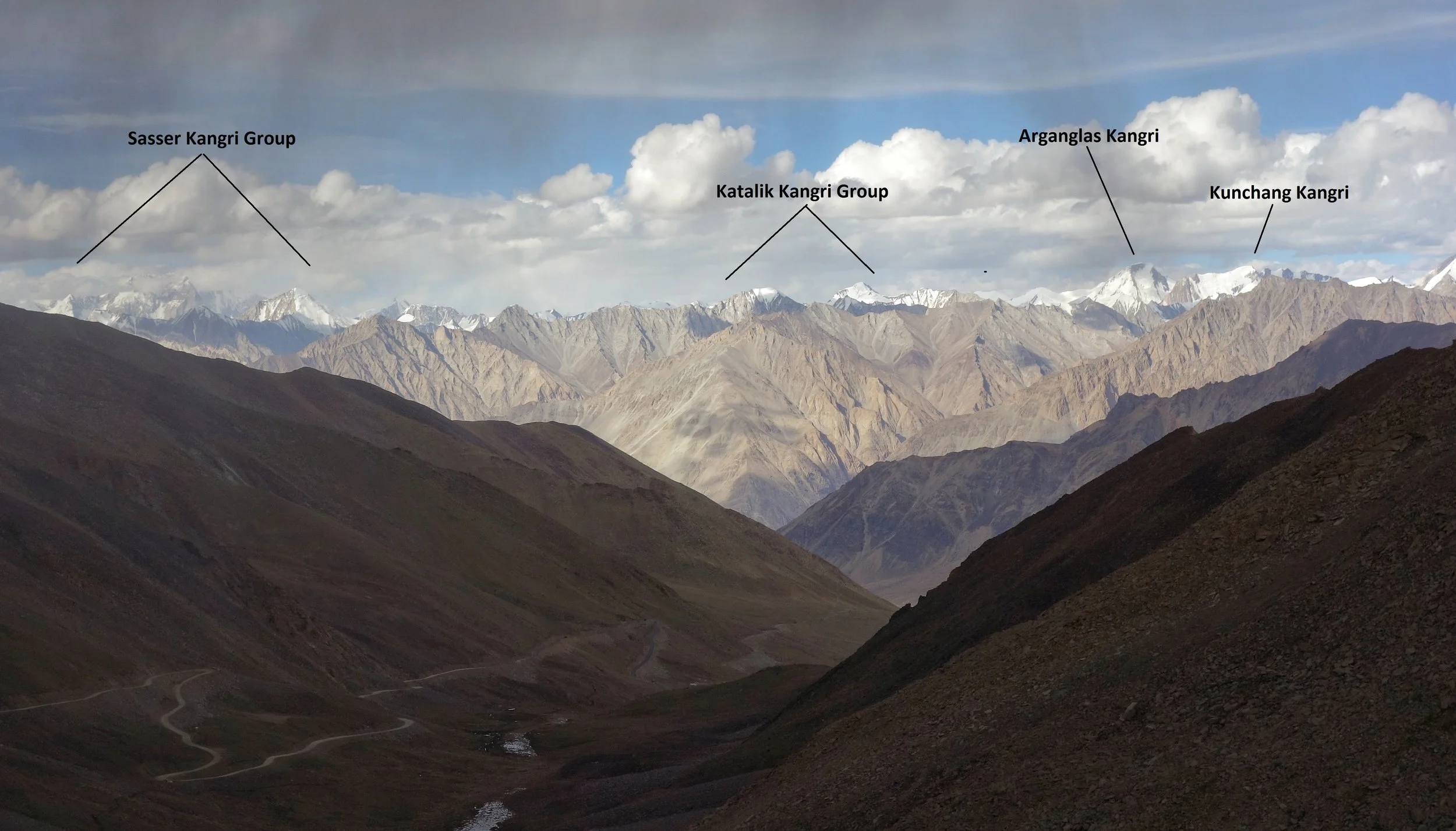
The Sasser Kangri Group and other Peaks of the Karakorams as seen from the Khardung La (Pass)
The Karakorams extend right from the Aksai Chin in the East to the Wakhan Corridor in the West and has other great Mountain Ranges like the Himalayas, the Hindu Kush, the Pamirs and the Kun Lun as its neighbors. It runs app. 550 kms from East to West starting at the Saser Muztagh in the East to the Batura Muztagh in the Hunza District.
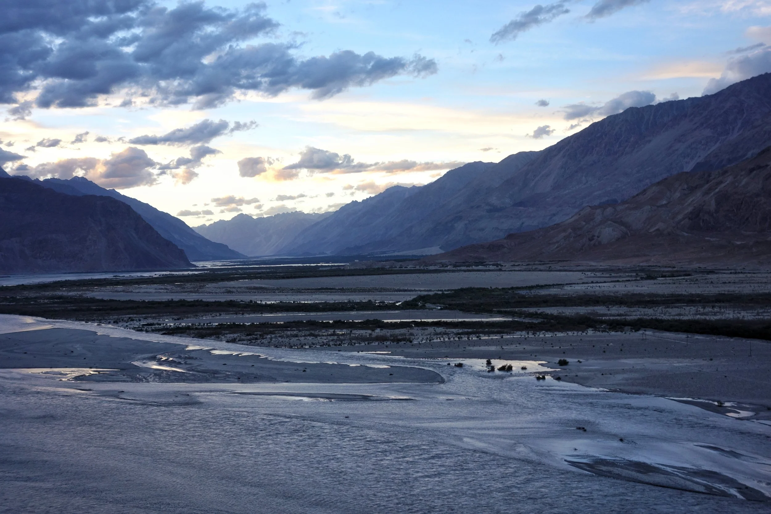
The Confluence of the Shyok and the Nubra. The Karakorams on the other side of the confluence.
Its Southern boundary is defined by the Gilgit, Indus and the Shyok Rivers which separate it from the Himalayan Range in the South. Infact in the Nubra Valley the Shyok River plays the boundary between the Himalayan Range and the Karakorams. In the North its the Karakash and the Yarkand Rivers which separate it from the Pamirs and the Kun Luns. The Karakorams actually lie right in the Center of the Great Himalayan Mountain Complex bounded by Ranges which are unparalleled in their sheer verticality. All these Ranges have Peaks exceeding 7000m which are not found in any other region on the Planet.
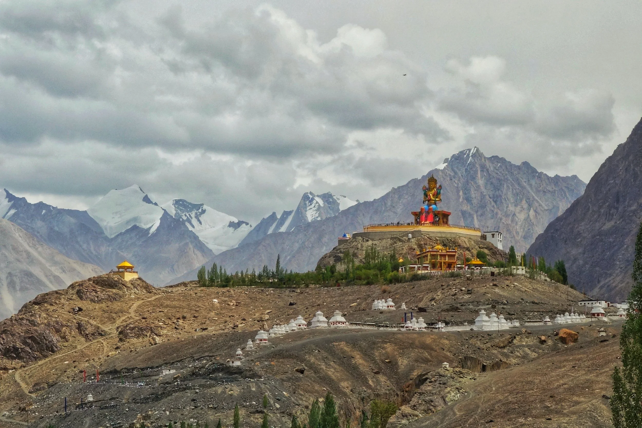
The Karakorams in the background of the Buddha Statue at Diskit in Nubra Valley
Broadly this most vertical of all the Mountain Ranges is subdivided into the following sub Ranges though experts differ on this aspect. The nine sub Ranges are as under
Sasser Muztagh
Rimo Muztagh
Siachen Muztagh
Baltoro Muztagh
Mashebrum Muztagh
Panmah Muztagh
Hispar Muztagh
Spantik Sosbun Muztagh
Rakaposhi Haramosh Muztagh
Batura Muztagh

Unnamed Karakoram Peaks along the Nubra Valley
Contrary to the popular perceptions a sizeable part of the Karakorams lies in territory well under Indian control though being in a sensitive border region most of it is off limits to Civilians and even climbing Expeditions to this area as the one carried out by the Himalayan Club and led by our Vice President, the acclaimed Mountaineer Divyesh Muni need various special permissions to visit these areas. Of the sub Ranges the Sasser Muztagh, the Rimo Muztagh and the Siachen Muztagh lie well within Indian held territory. Even a substantial part of the Baltoro Muztagh is within this territory. In Fact of the 10 highest Peaks in Indian territory (excluding the ones in Occupied territory) lie in the Karakorams. And three of these lie in the Sasser Massif and belong to the Sasser Kangri family. Infact these are clearly visible from the top of the Khardung if you look towards the North.