
A Collection of Himalayan Trivia from old Maps to Books to Documents from the olden times. We are trying to build up an Archive of Himalayas related documents especially in the historical perspective and make these available to people interested.
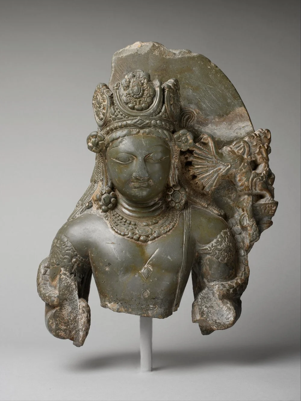
Himalayan Art from Museums

Maps
Himalayan FAQs