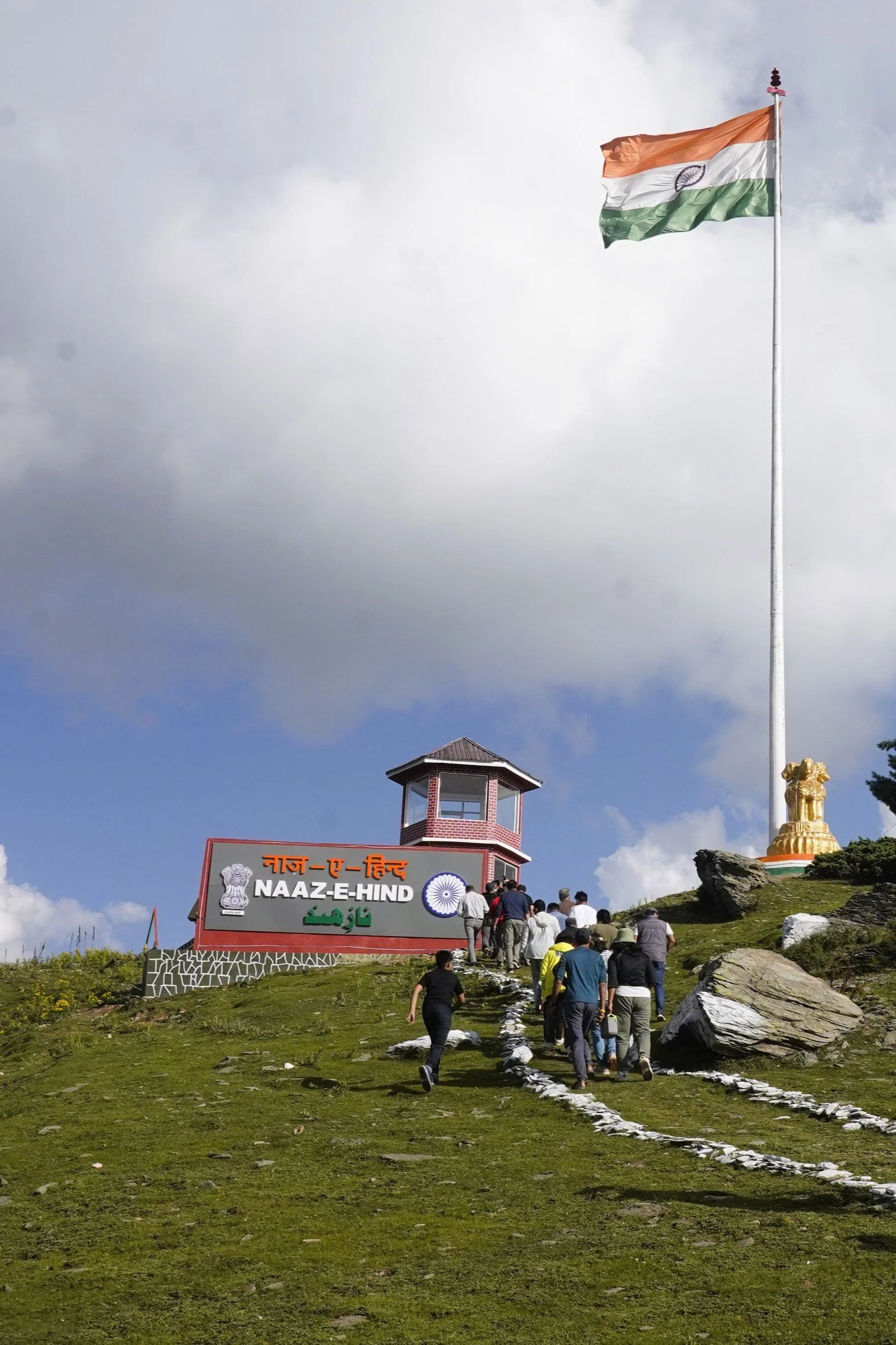
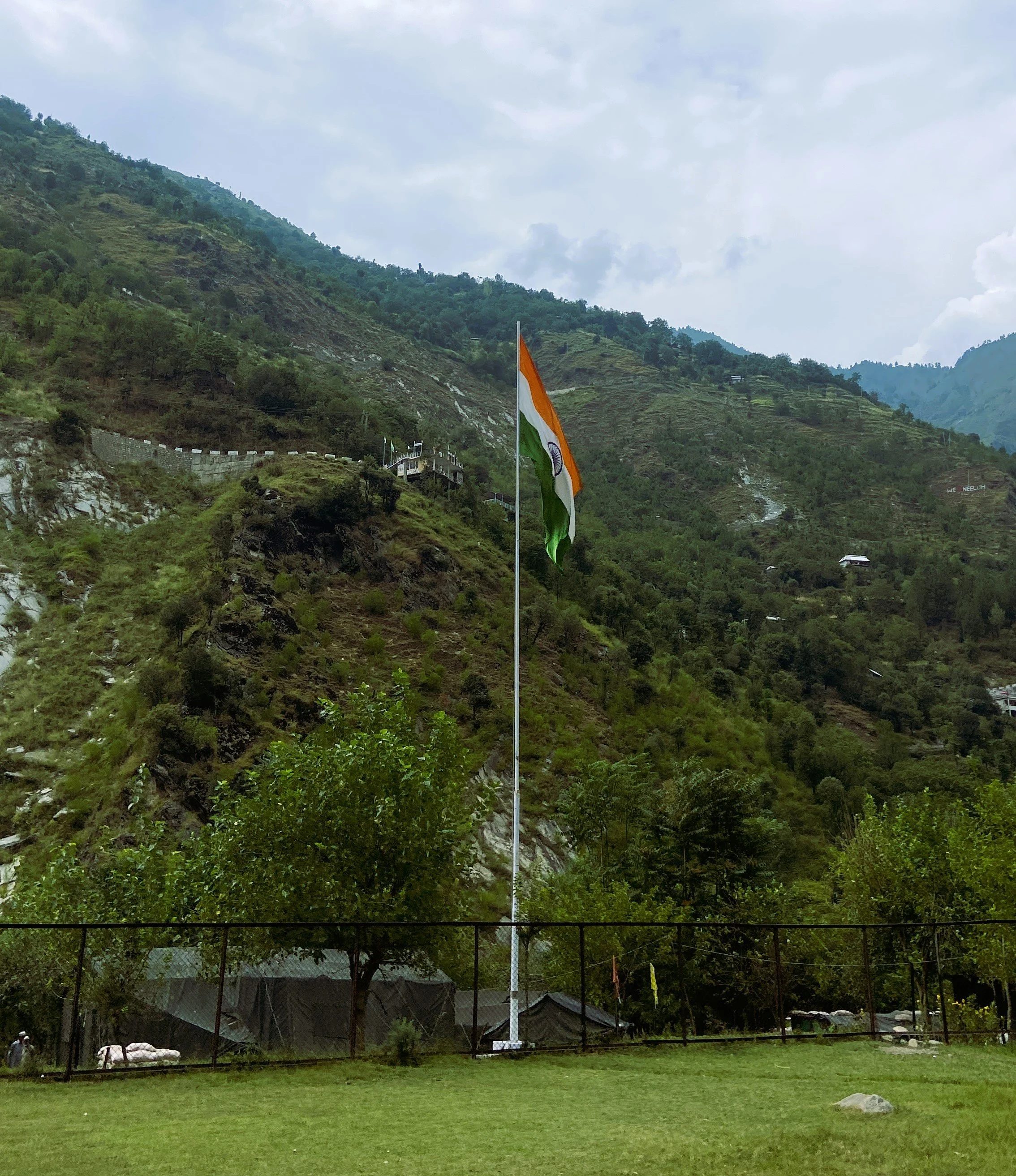
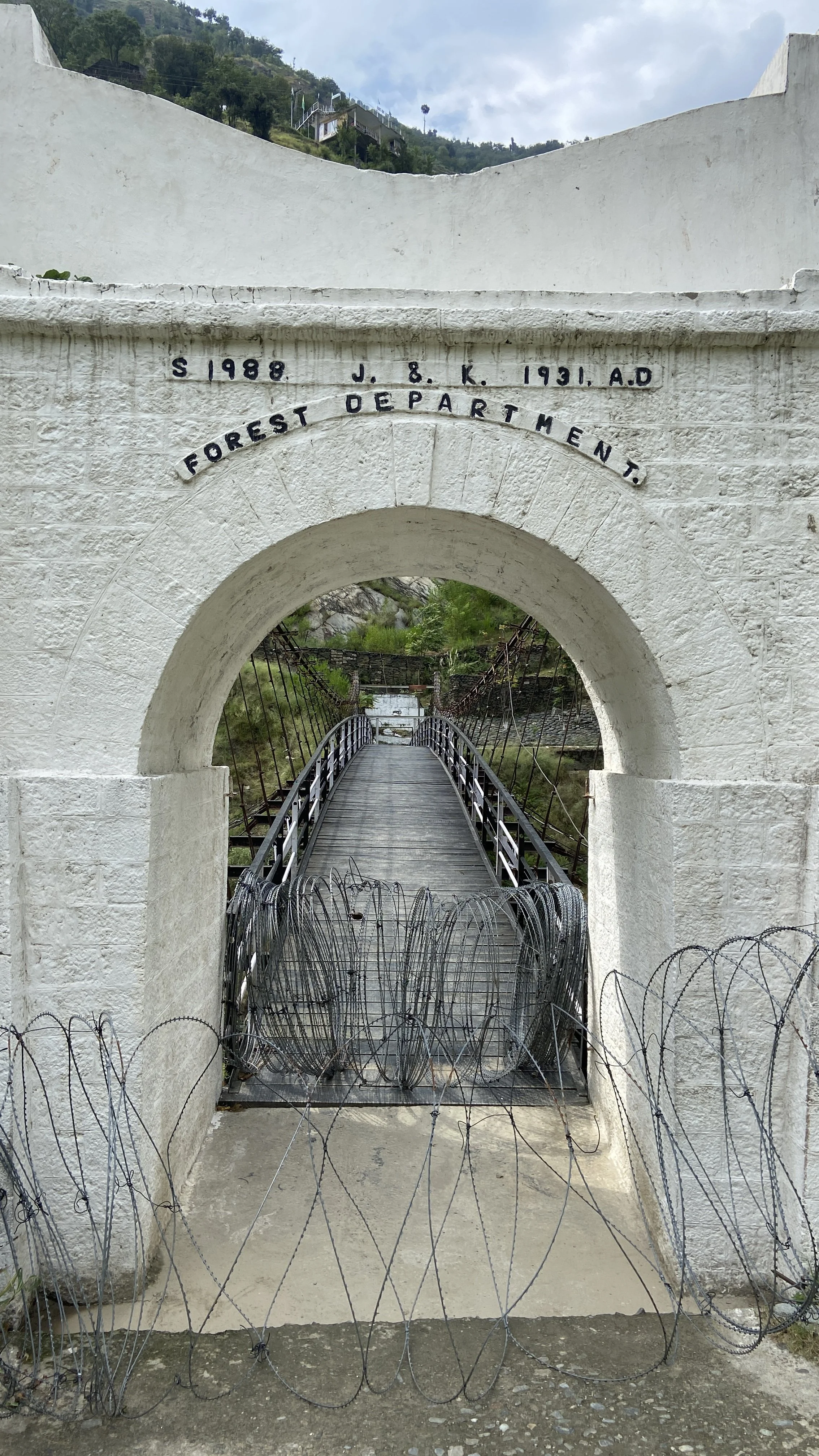
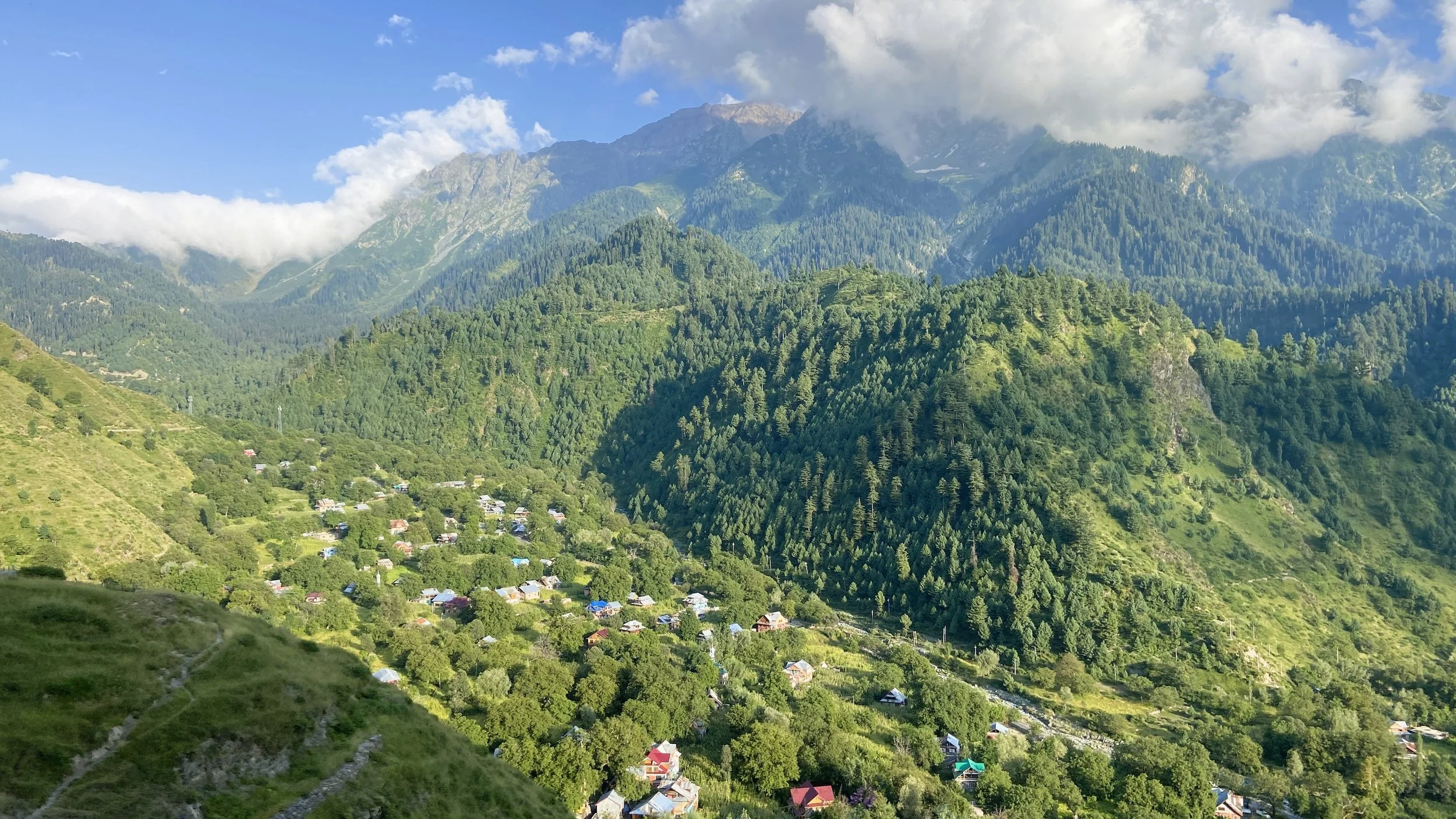
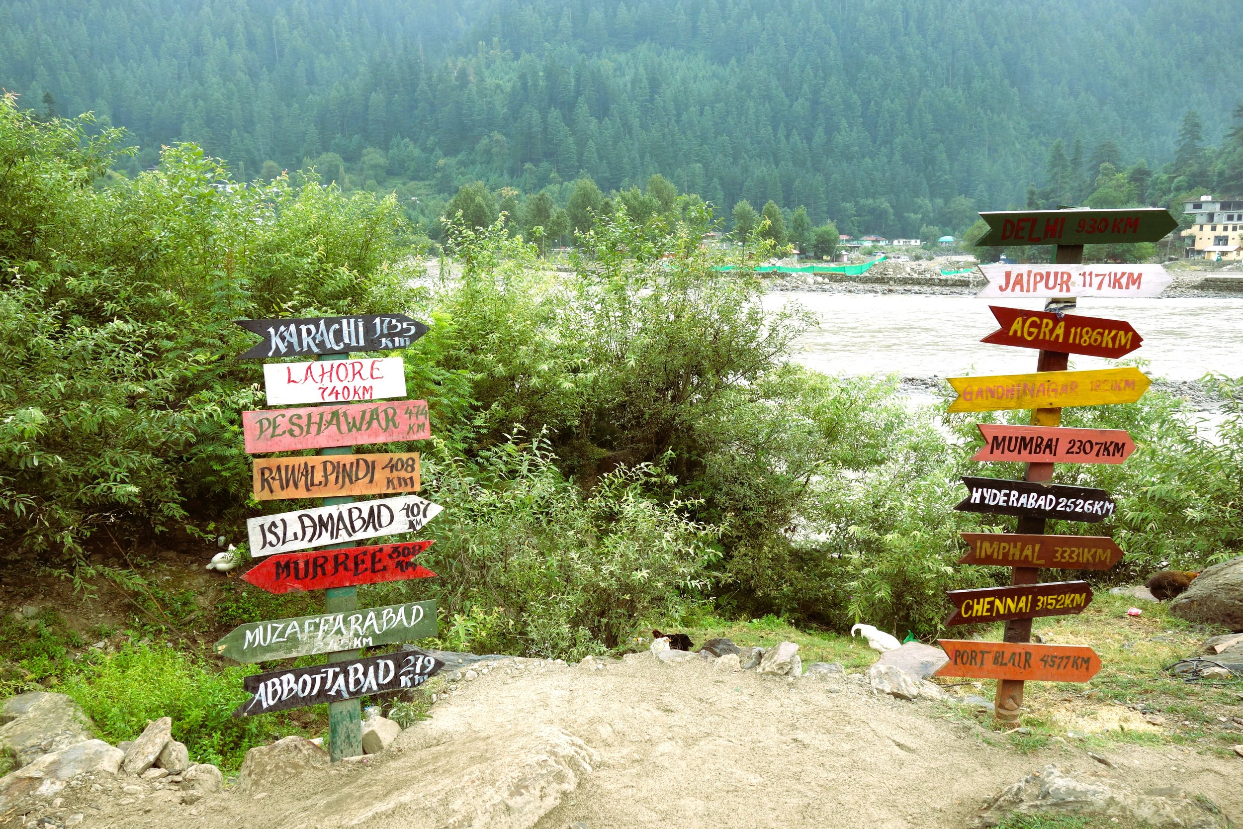
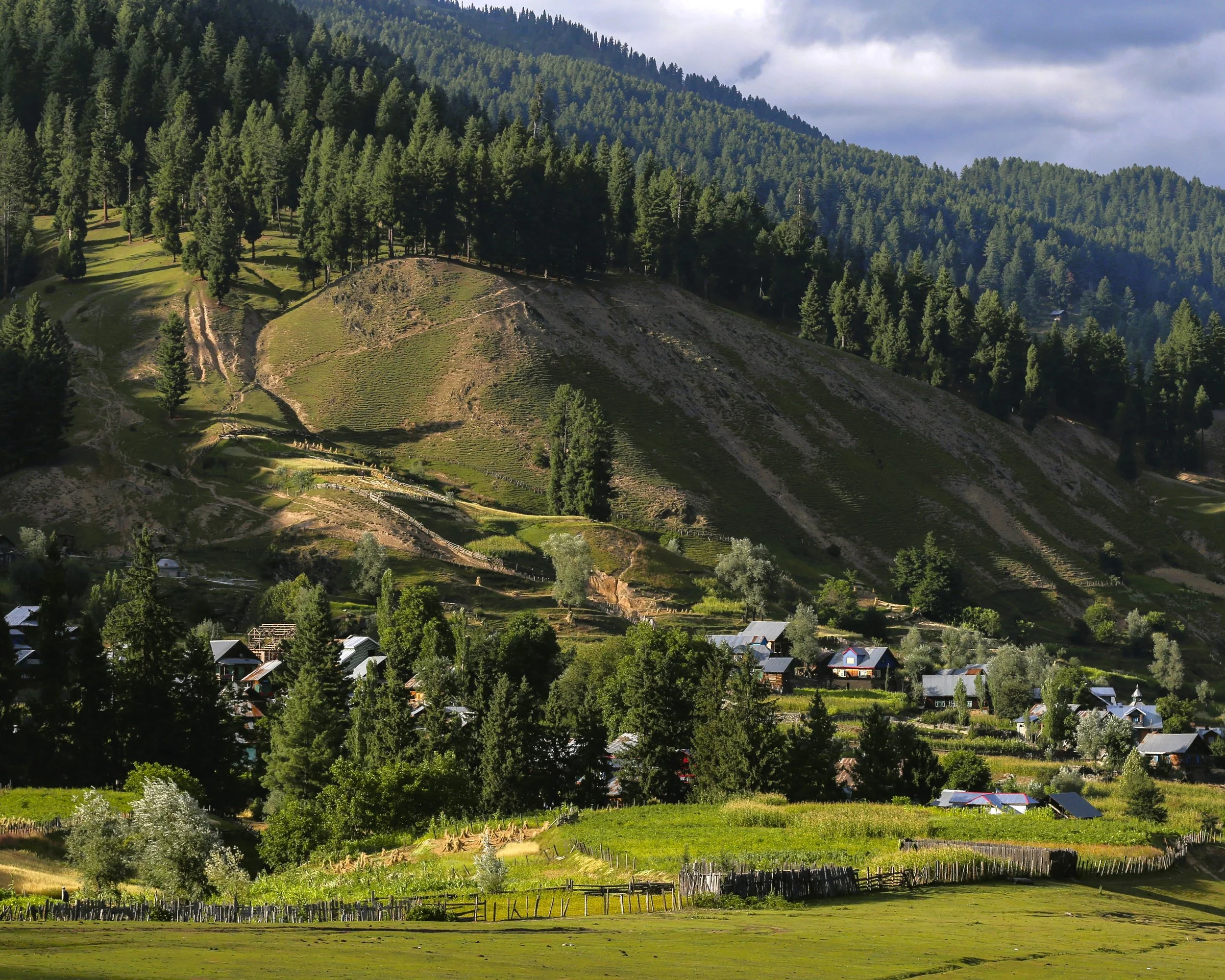
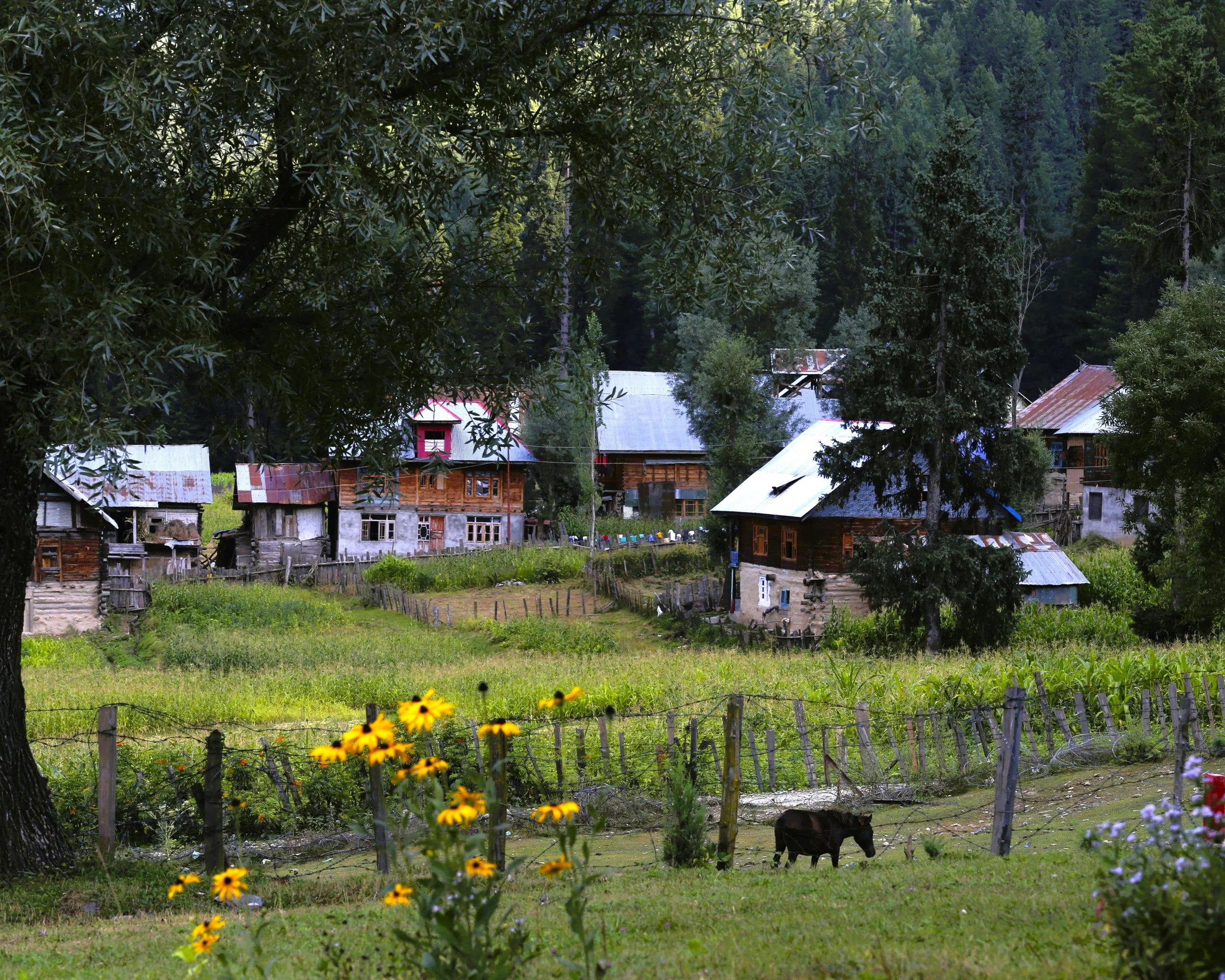
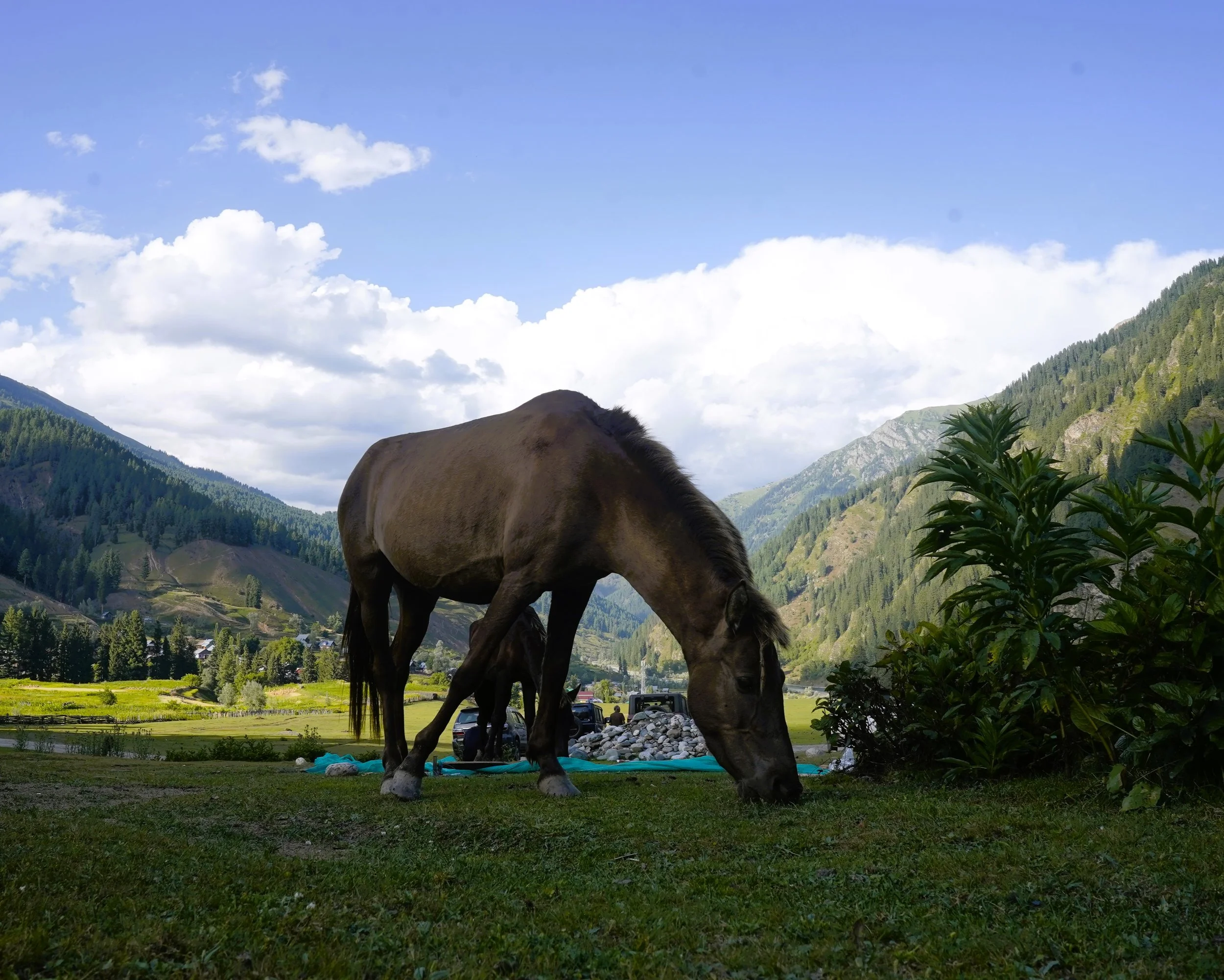
Kashmir Border / LOC Tourism Day / Overnight Trips
Our new intiative to promote Border Tourism and Border Homestays in Kashmir. Introducing Day Trips / Overnight Trips to the areas opened for Tourists along the LoC in local Homestays.
We arrange the Transport, the Permits and even Overnight Stay at these places.
These places include
Teetwal / Tithwal & Tangdhar in the Karnah Valley. Stay at Homestay in Teetwal
Keran. Stay at Homestay in Keran
Machil. Stay at Homestay in at Machil
Gurez of couse with Multiple Stay options.
Uri / Kaman Post. Government Guest House stay option
All these Trips are Ex Srinagar and for more infor get in touch with 98712 92288
#kashmir360 #gurez #Kishanganga #habbakhatoon #bordertourism #LOCtourism #LOCexperience #locunravel #offbeatkashmir #silkroute #himalayas #himalayanexplorer #explorekashmir #keran #teetwal #tithwal #machil
Understanding the LoC in Kashmir
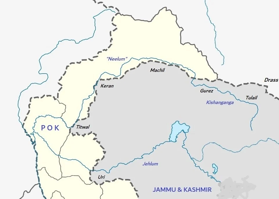
The LOC runs along the Western / South Western / North Western areas of Kashmir along the Baramula and the Kupwara Districts and certain parts of the Bandipora District in the Gurez Region. The LOC stands for the Line of Control as opposed to a Border which is recognised and accepted by both Countries. However in case of the LOC the area across the same has been illegally occupied by our neighbour.
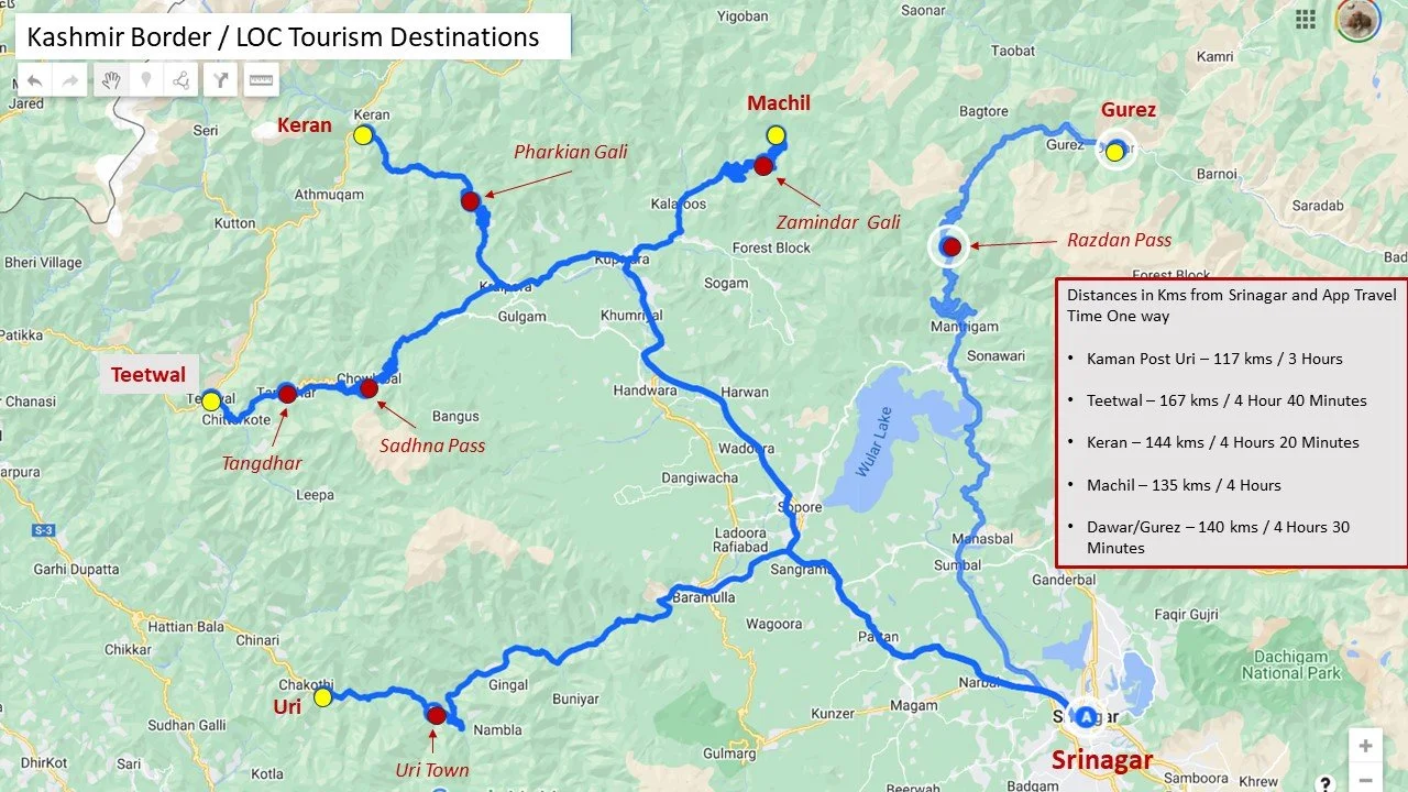
The Map above shows the LOC and the points open for Tourists along the LOC in Kashmir. The LoC kinda plays around the Kishanganga aka Neelam. The Kishanganga originates in the "Great Lakes" Region of Kashmir and comes down into Tulail and then onwards to Gurez and at Bagtore in Gurez is where it enters PoK or the LoC and becomes the Neelam. From there on both banks of the River run through PoK and has places like Taobat and Kel and of course the very beautiful Village of Arang Kel (Google Arang Kel). The Indian side pushes very close to the Neelam in Machil sector.
And then again India manages to take one side of the bank in Keran. And again the Kishanganga emerges. Further on again both sides are in PoK and it becomes the Neelam.
But again at Teethwal in the Karnah Valley the Indians managed to take one bank of the River. The Battle of Tithwal was an epic Battle and it was in this Battle that Piru Singh and Karam Singh won Param Vir Chakras.
But again after Teethwal the Kishanganga forever becomes th Neelam till it meets the Jehlum at Domail.
The Loc below this area lies around the Uri sector on what used to be the Jehlum Cart Road. Uri itself used to be connected to Poonch via the Haij Pir Pass but that was taken by the other side.
Now we have introduced the concept of Day Trips / Overnight Trips to these Areas for people visiting Kashmir. We are also promoting the concept of Homestays in these Border areas so that the Locals are benefitted by the Tourism boom that Kashmir has been witnessing recently. This will incentivise the promotion of Tourism as well as offer oppurtunities for the Locals who for long have been isolated due to the Conflict in the Region.
It also augus well for the more discerning Tourist who ants to get away from the crowds that usually throng the more popular Tourist Destinations of Kashmir.
Uri
Uri is a town which is located along the Historic Cart Road along the Jehlum which once connected Srinagar and the Kashmir Valley with Rawalpindi and the Punjab in the Pre Partition Days. However since the Partition came about and following the first Indo Pak War in 1947/48 Uri became the last major Town on the Indian side and the LoC lies beyond Uri.
Uri is now a sprawling and bustling Border Town and with the opening of Tourism spots in and around Uri it stands to attract some Tourists out of the bulk that descends upon Kashmir every year especially in the Summer Months.
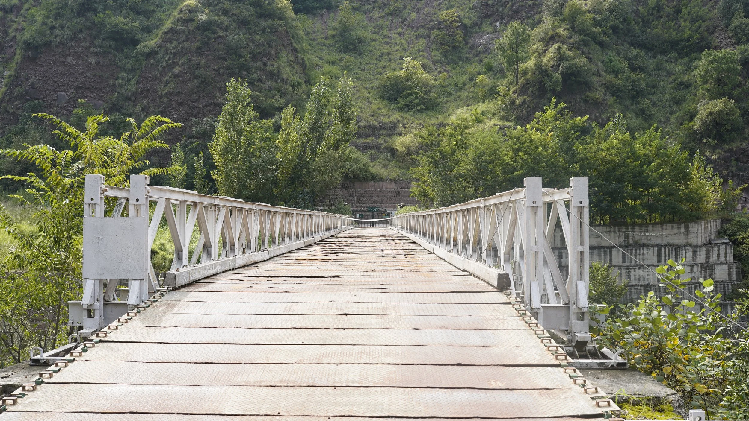
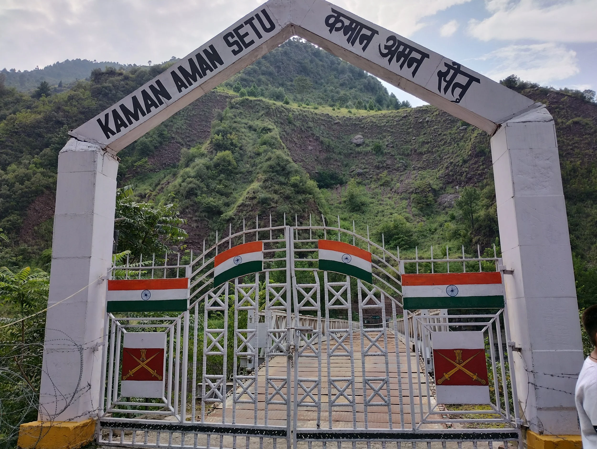
The main attraction is the Aman Setu at the Kaman Post, which is a Bridge which connects both sides of the LoC. You can also see the former Indo Pak Border Trade Center at Salamabad which now lies deserted. There are other ares which can be visited around Uri as well.
Srinagar to Uri Distance / Travel Time : 117 kms / 3 Hours One Way
To See Along the Way : Baramulla / Pattan Temple Ruins / Mohra Power Station / Mohra Wooen Channel
To See At Uri : The Aman Setu at Kaman Post / Salamabad Trade Center / Uri Dam Resrvoir / Nand Singh Memorial
Day Trip / Overnight Stay : Day Trip Available / Overnight Stay Coming Soon
Rate : Rs.4000 per Head (2 Pax) / Rs.2500 per Head (4 Pax)
Teetwal / Tangdhar
Teethwal and Tangdhar are located in the Karnah Valley which lies across the Shamshabari Mountains and you cross over from the Sadhna or the Nastachun Pass which is probably one of the most fiercely guarded Mountain Passes in the Country. That's not surprising especially if you remember the Battle of Tithwal and the fact that Two Param Vir Chakras were conferred during the Battle.
Crossing over the Pass you descend into the beautiful Tangdhar Valley with its green verdant fields and Houses spread over a large area. And the people of this area are mostly Pahadi instead of Kashmiri. You first need permission to come till Tangdhar and then from the Tangdhar Police Station you need another permission to go to Tithwal which lies right at the LoC.
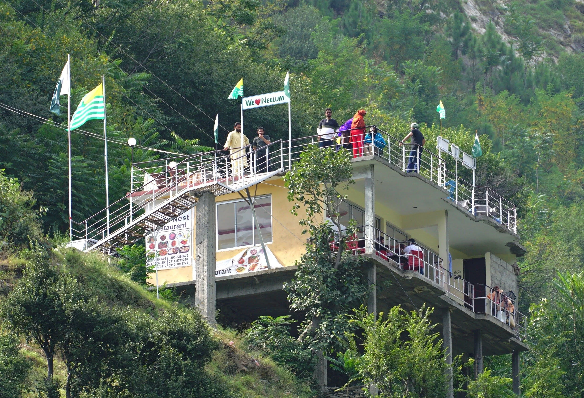
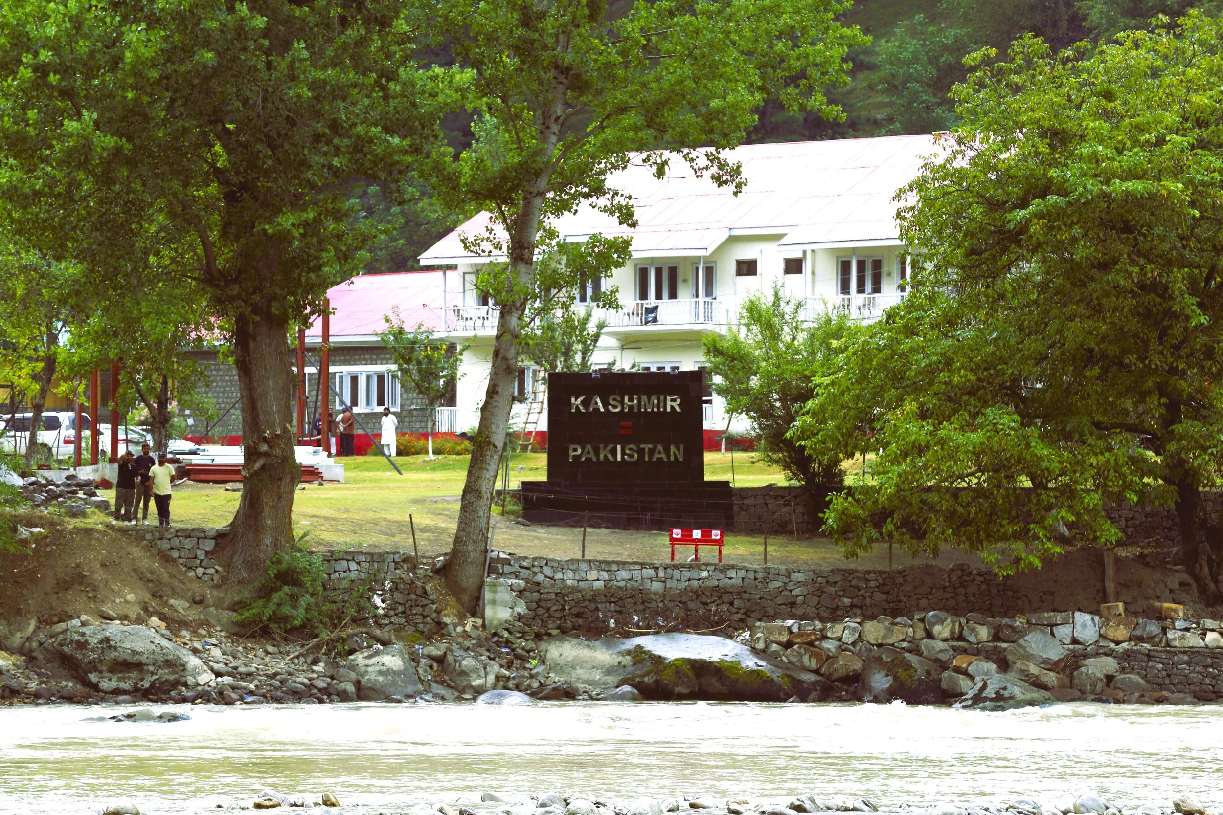
Tithwal itself is a peaceful Village by the River with POK right across the River with a Restaurant along the main Road from where People from the other side look down on the people on the other side.
Srinagar to Teewal Distance / Travel Time : 167 kms / 4 Hours 40 Minutes One Way
To See Along the Way : Baramulla / Pattan Temple Ruins / Mohra Power Station / Mohra Wooen Channel
To See At Teetwal : The Aman Setu at Kaman Post / Salamabad Trade Center / Uri Dam Resrvoir / Nand Singh Memorial
Day Trip / Overnight Stay : Day Trip Available / Overnight Stay Coming Soon
Rate : Rs.5000 per Head (2 Pax) / Rs.3000 per Head (4 Pax)
Keran
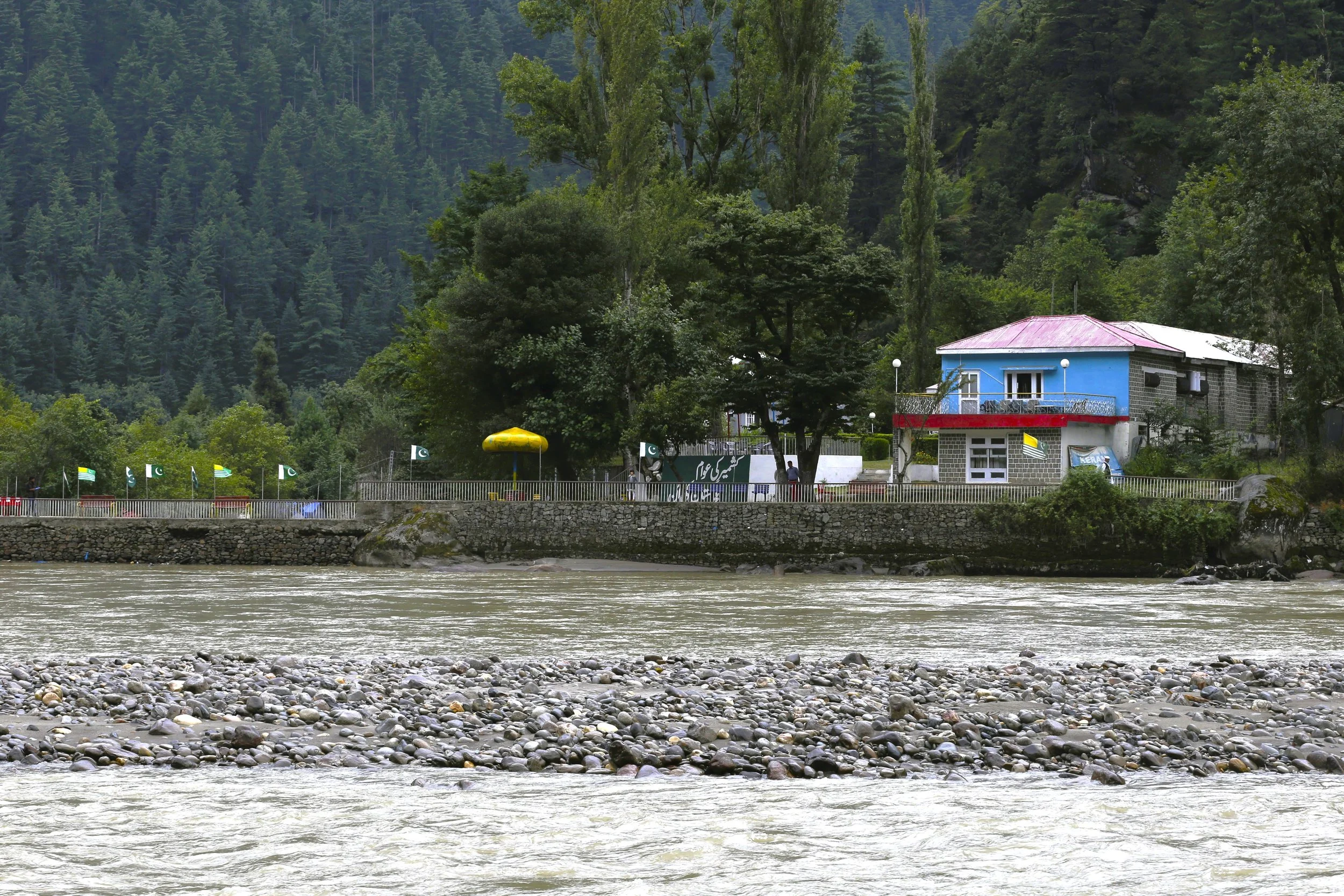
Keran is a Village which lies divided right on the Line of Control with one part in India in the Kupwara District of Jammu and Kashmir and the other part in Pakistan Occupied Kashmir. And the River Kishanganga (called Neelum by the other side) runs through it. Keran is located across the Shamshabari Mountains which one has to cross across the Firkiyan / Firkin / Pharkiyan Gali. At Keran one can view life across the LOC and the Resorts built on th other side of the Line of Control.
Keran : The Village of Keran is said to have been established by Raja Bahadur Khan in the tenth Century. Also located on the banks of the Kishenganaga River, Keran enjoys a majestic view. To reach Keran Valley one has to Pass through the Firkin Gali. It is 37 kilometers towards West from Kupwara. 89 kilometers from Kralpora and 118 kilometers from the state Capital Srinagar. One the way to Keran the other places of interest are Milyal, Raja Ram Mountains, Firkin Village, Kralpora, Trehgam and the Kheerbhawani Temple at Tikker, Kupwara.
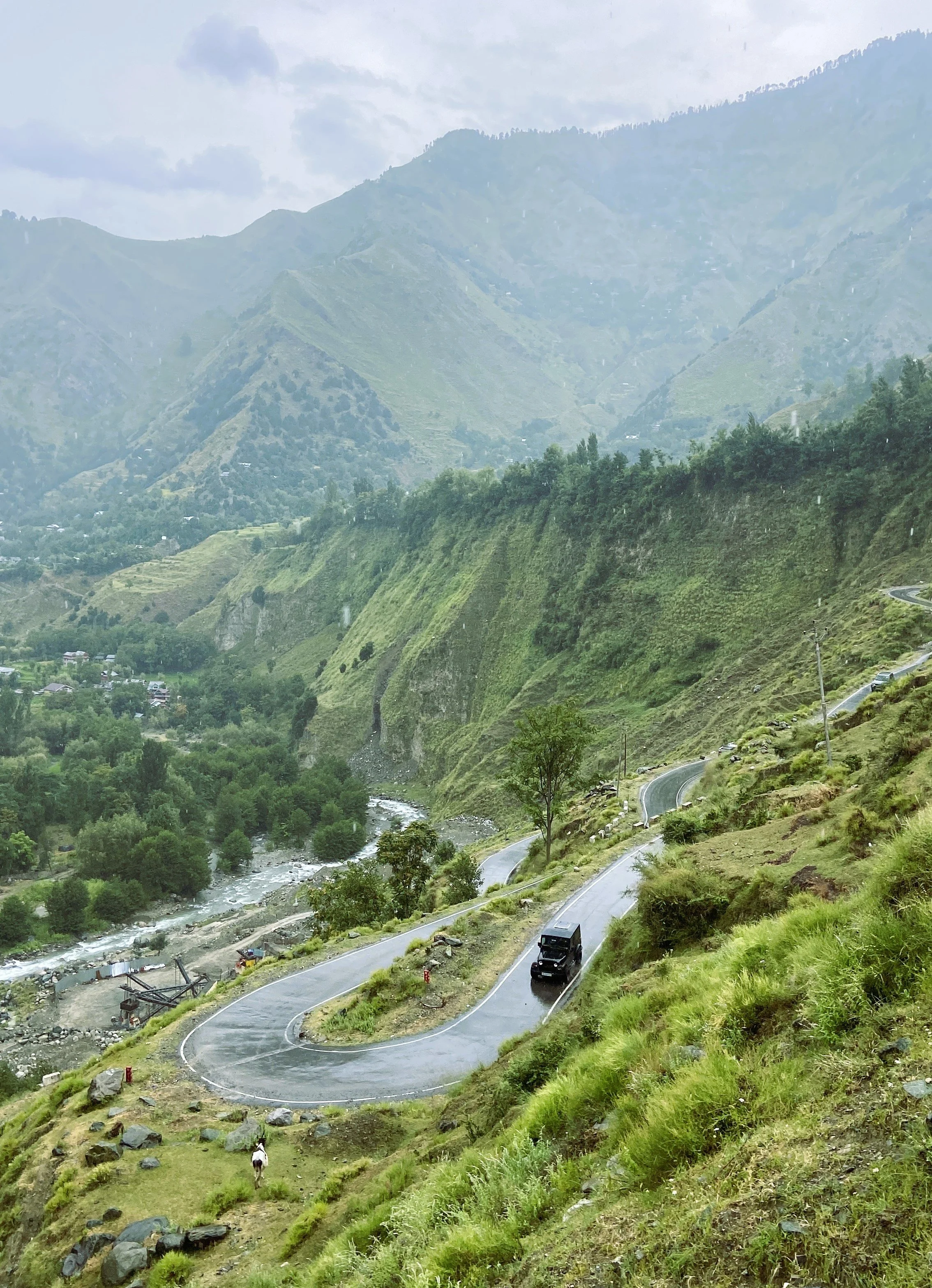
From the Firkin Gali a Road link connects it with the Sadhna Top and is known for its mesmerizing and enchanting beauty on both sides of Kashmir. On the way one can witness the lush Green forests, Meadows, Streams and also the Ancient Architecture.
Srinagar to Keran Distance / Travel Time : 144 kms / 4 Hours 20 Minutes One Way
To See Along the Way : Baramulla / Pattan Temple Ruins / Mohra Power Station / Mohra Wooen Channel
To See At Keran : The Aman Setu at Kaman Post / Salamabad Trade Center / Uri Dam Resrvoir / Nand Singh Memorial
Day Trip / Overnight Stay : Day Trip Available / Overnight Stay Coming Soon
Rate : Rs.5000 per Head (2 Pax) / Rs.3000 per Head (4 Pax)
Machil
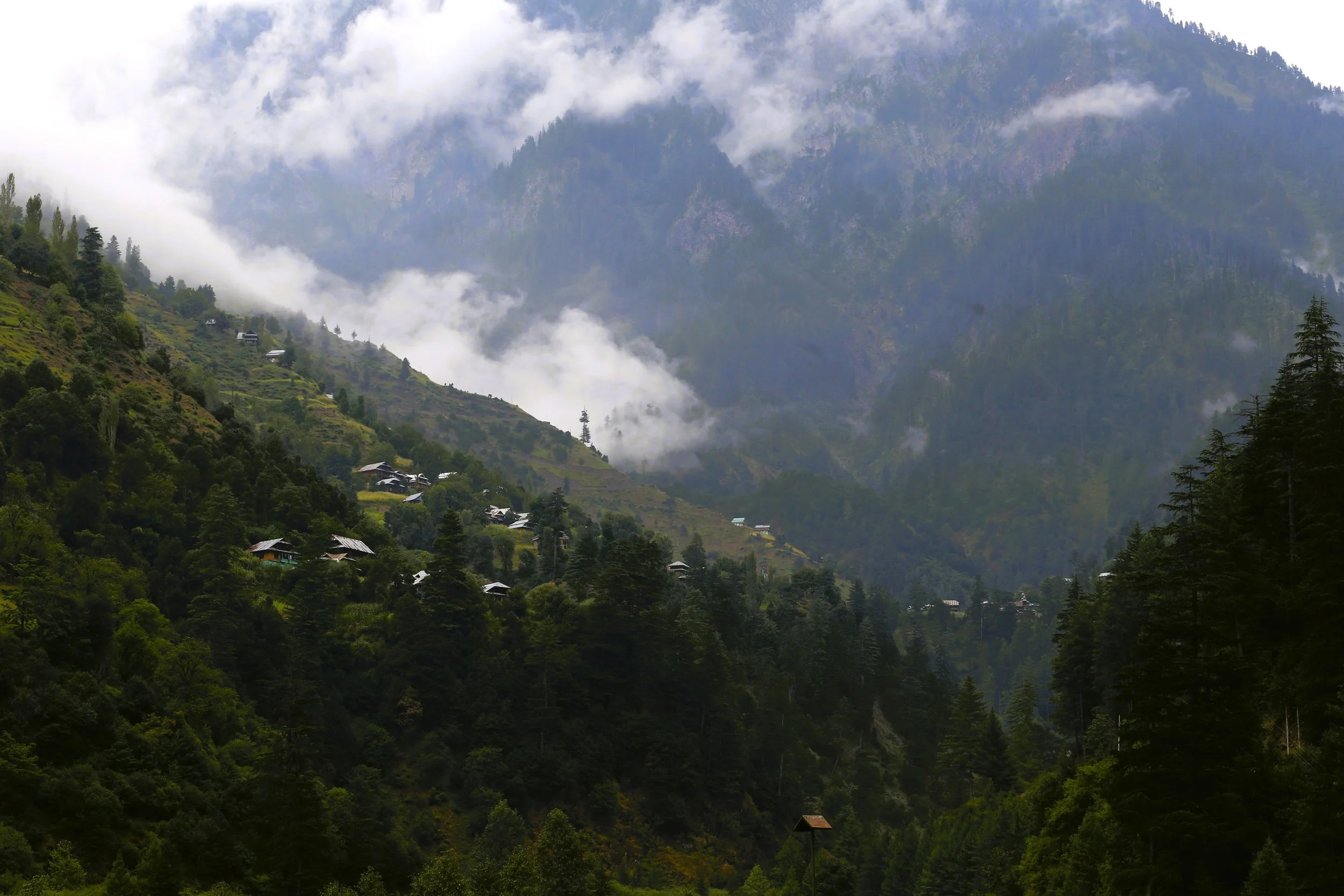
The Machil Valley lies on the Northern fringes of the Kashmir Valley in the District of Kupwara. Its nestled around the Machil River and in geographical terms its stands North of the Lolab Valley across the Zamindar Gali, a Pass that needs to be crossed in order to get into the Machil Valley. It lies close to the Line of Control and as such the access is limited. Its nonetheless a beautiful area which is like a mix of Lolab Valley to the South and Gurez Valley to the East.
Machil or Matsil as its called was always a fascinating little place for people since they read about its beauty and remote location. Though the Civilian Authorities and the Army call it Machil or Machal (not to be confused with Machail of Paddar, Kishtwar) the locals call it Matsil. The name is derived from the Dardic word for Fish. Its said that once upon a time the Matsil River which drains the Valley was full of Fishes.
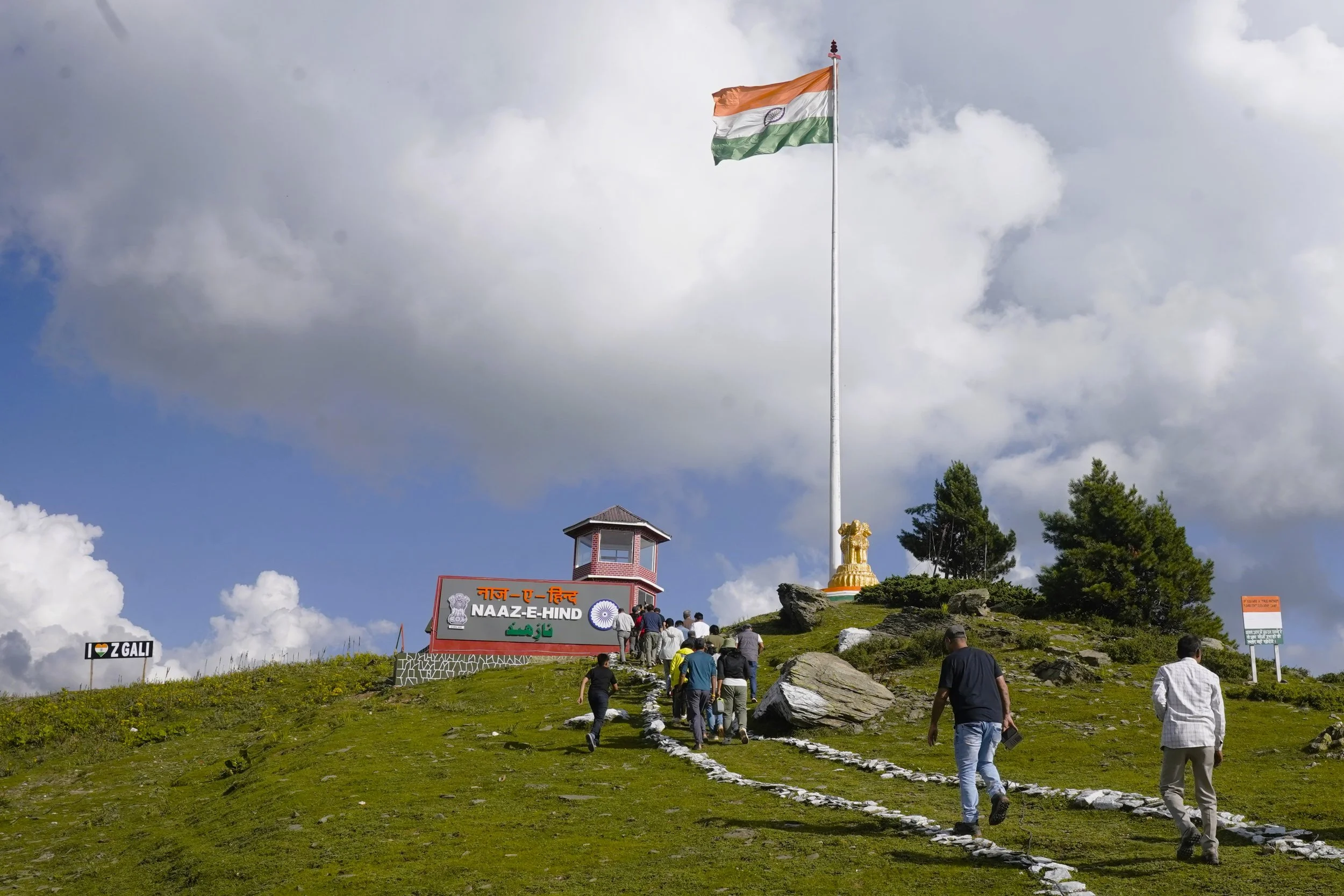
Machil Valley is accessed via the Z Gali or the Zamindar Gali over the Shamshabari Mountain Range. Its called the Zamindar Gali as in the olden times many people in Lolab used to have Land in Matsil where they used to grow Crops in the summertime. Over time some of these people settled here. Also as per the Gazzette of 1890 this area was often raided by Chilasis (yes from Chilas) so that also kept people away though the area is awash with Gujjars and Bakarwals who come here with their livestock for the rich pasturage the Valley offers in the Summers.
Geographically though the Matsil Valley is a sub Valley of the Kishanganga which the Matsil flows into. But as of today the LOC is reached before the Kishanganga in this Valley and opposite to Machil on the other side is the Village of Kel and of course its splendidly beautiful neighbouring Village of Arang Kel which unfortunately we cant visit (Do Google Arang Kel to get an idea of the beauty). And im sure there are places in Machil which have the same level of spectacular beauty.
Srinagar to Machil Distance / Travel Time : 135 kms / 4 Hours One Way
To See Along the Way : Baramulla / Pattan Temple Ruins / Mohra Power Station / Mohra Wooen Channel
To See At Machil : The Aman Setu at Kaman Post / Salamabad Trade Center / Uri Dam Resrvoir / Nand Singh Memorial
Day Trip / Overnight Stay : Day Trip Available / Overnight Stay Coming Soon
Rate : Rs.5000 per Head (2 Pax) / Rs.3000 per Head (4 Pax) /
Gurez
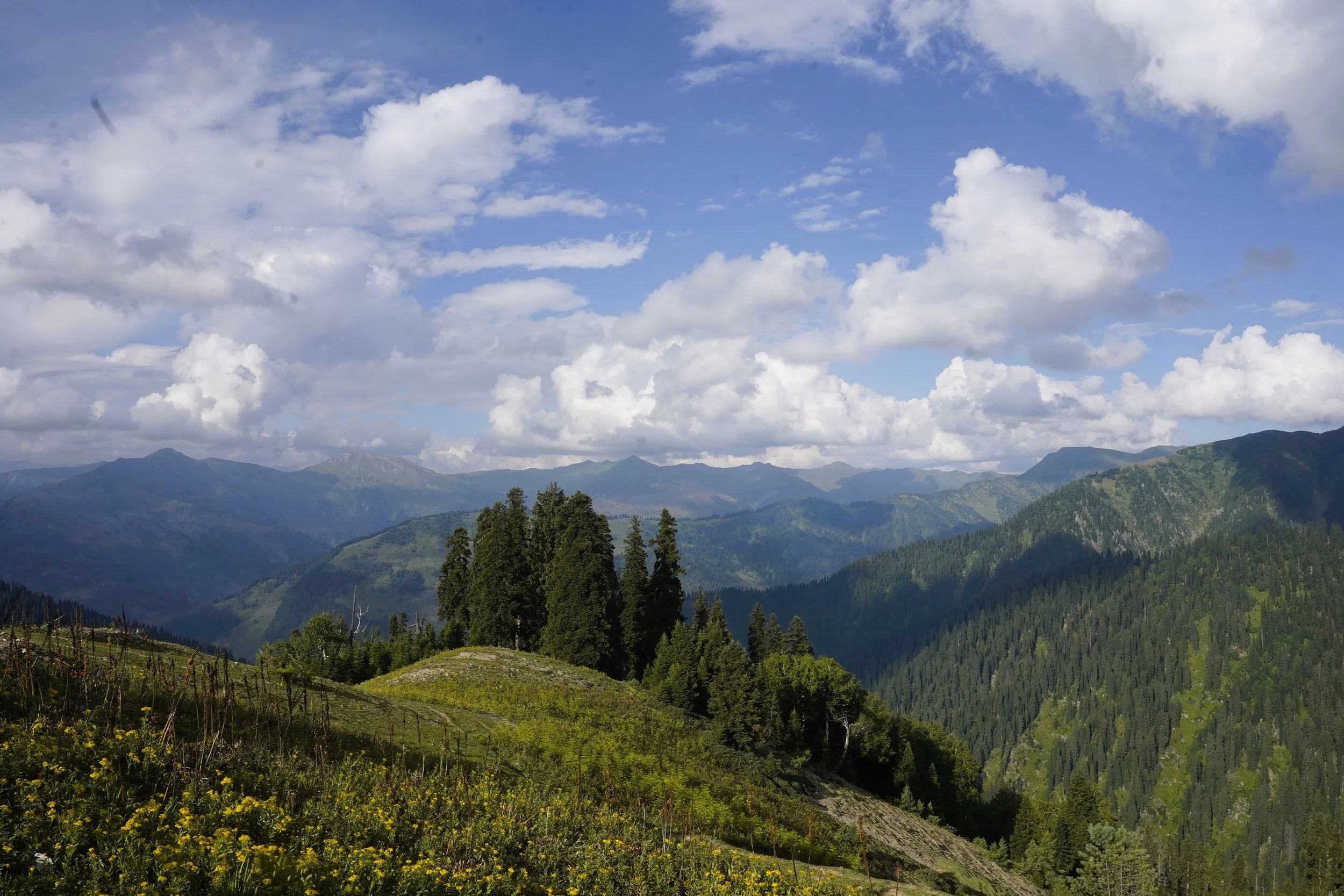
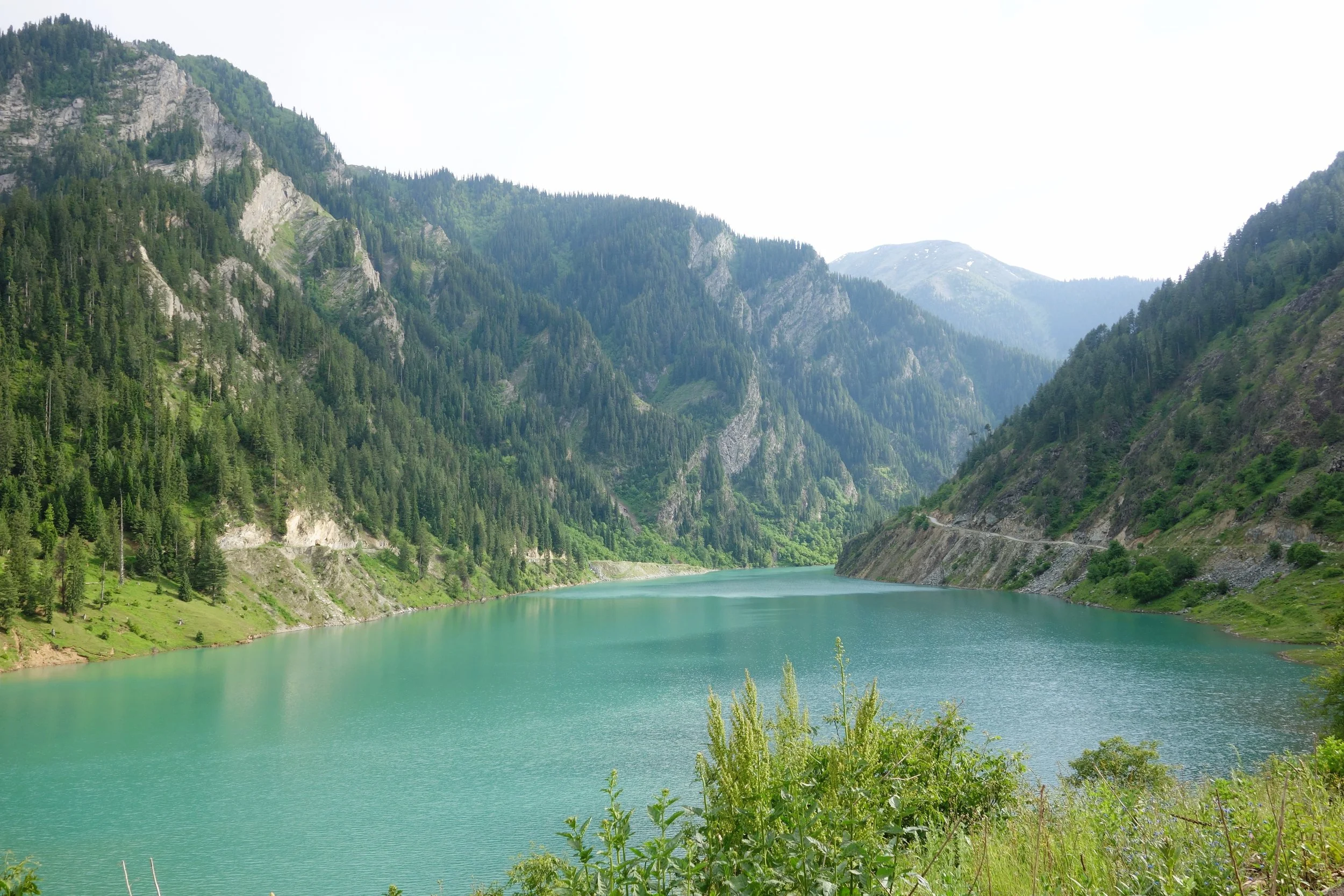
The beautiful Valleys of Gurez and Tulail are located within the folds of the Great Himalayan Range in the beautiful Valley created by the Kishanganga River as it runs down its course from its point of origin at the Kishansar Lake located in the Mountains above Sonamarg. The access to the Gurez Valley is via the Razdan Pass and the Road from Srinagar winds its way along the Wullar Lake and then from Bandipora the climb starts to Tragbal and further to the Razdan Pass.
The LOC runs through Gurez and you can see the Border fence at most places in the Gurez and the Tulial Valleys. On one end of the Gurez Valley lies the Village of Bagtore which is one of the last Villages on th Indian side of the LoC. On the other end of the Tulail Valley is the Kaobal Gali which connects this Valley with the Mushkoh Valley in the Drass Region of Ladakh. This used to be one of the main access points into Gurez / Tulail till 1947 after which this Road became off limits for Civilians with only the Army using it.
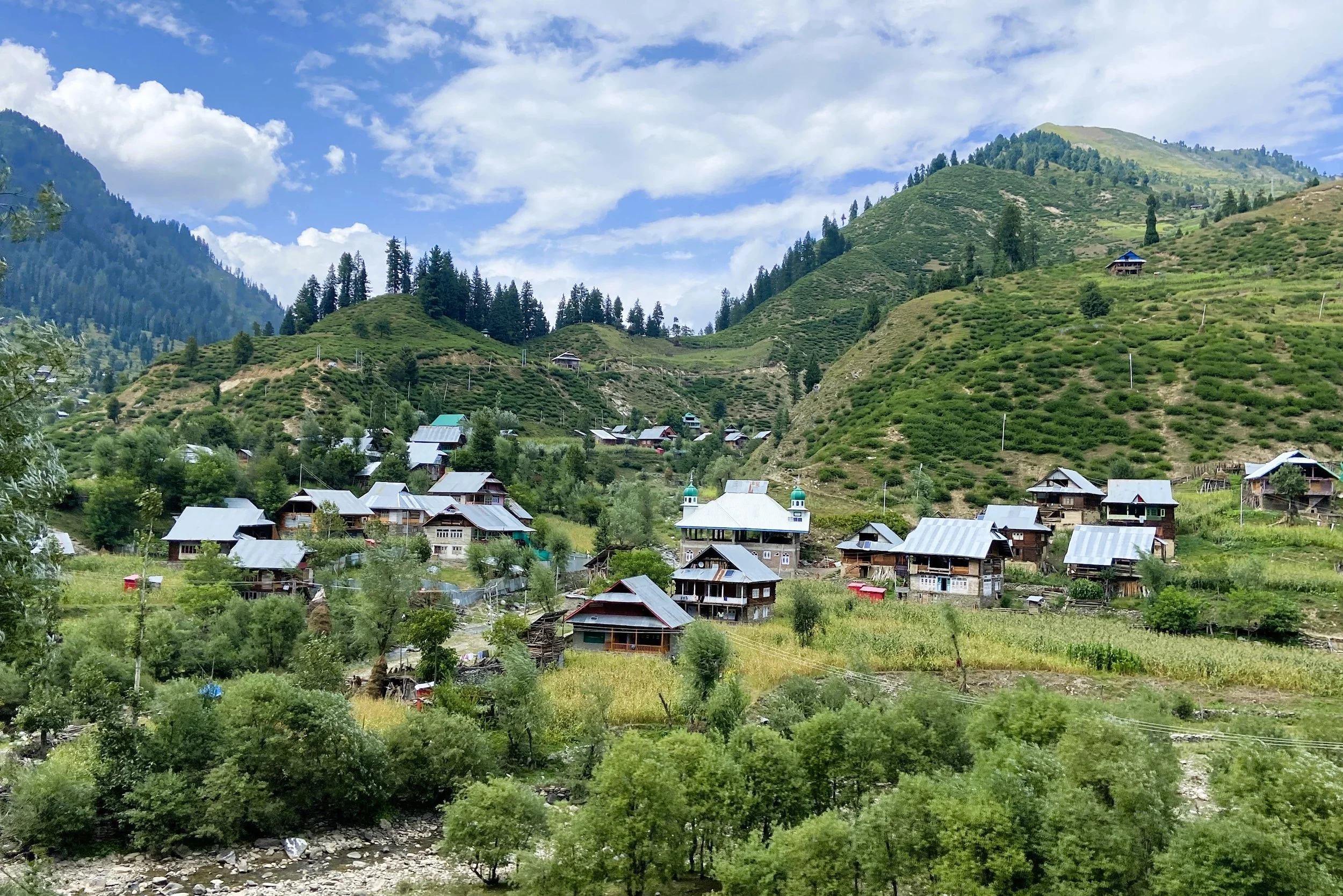
The Gurez and Tulail Valleys have a distinct Culture and the majority of the people here are Shina and speak the Shina language which is also spoken in the Gilgit Region acrosss the LoC. The Guez / Tulail Valleys are dotted with picturesque Villages with Houses made of Timber just like it has been done for Centuries.
Srinagar to Gurez (Dawar) / Travel Time : 140 kms / 4 Hours 30 Minutes Hours One Way
To See Along the Way : Manasbal Lake / Wallar Lake / Razdan Pass / Kanzalwan
To See At Gurez : The Habba Khatoon Peak / Habba Khatoon Spring / Purna Tulail / Shiekpura / Bagtore
Day Trip / Overnight Stay : Overnight Stay Available
Rate :

