Street Address
City, State, Zip
Phone Number
Curated Experiences in the Himalayas
Your Custom Text Here
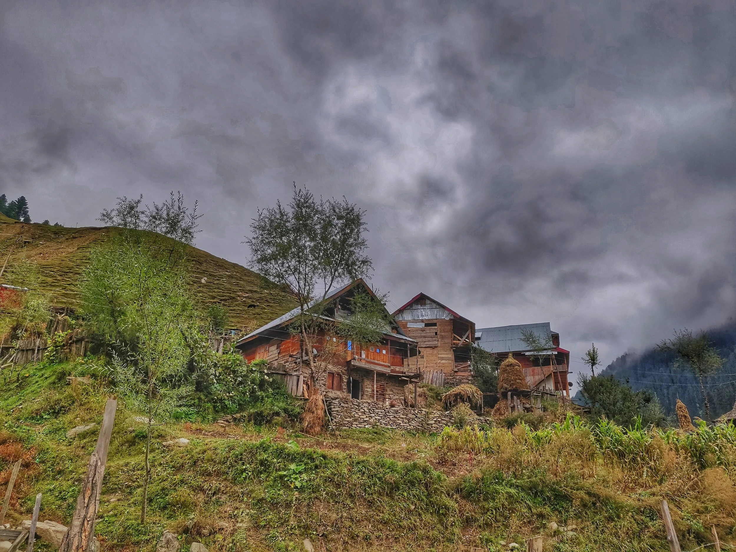
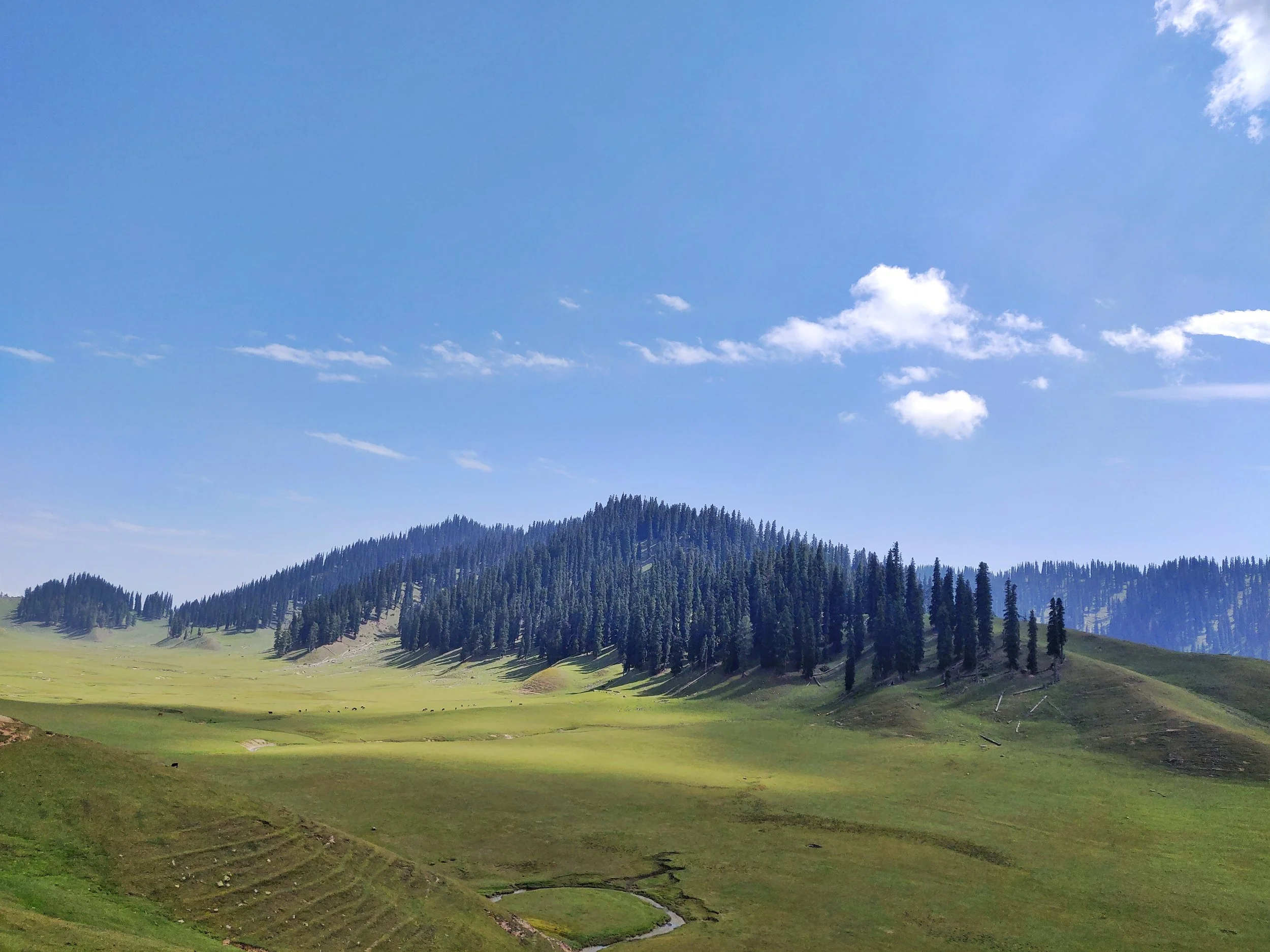
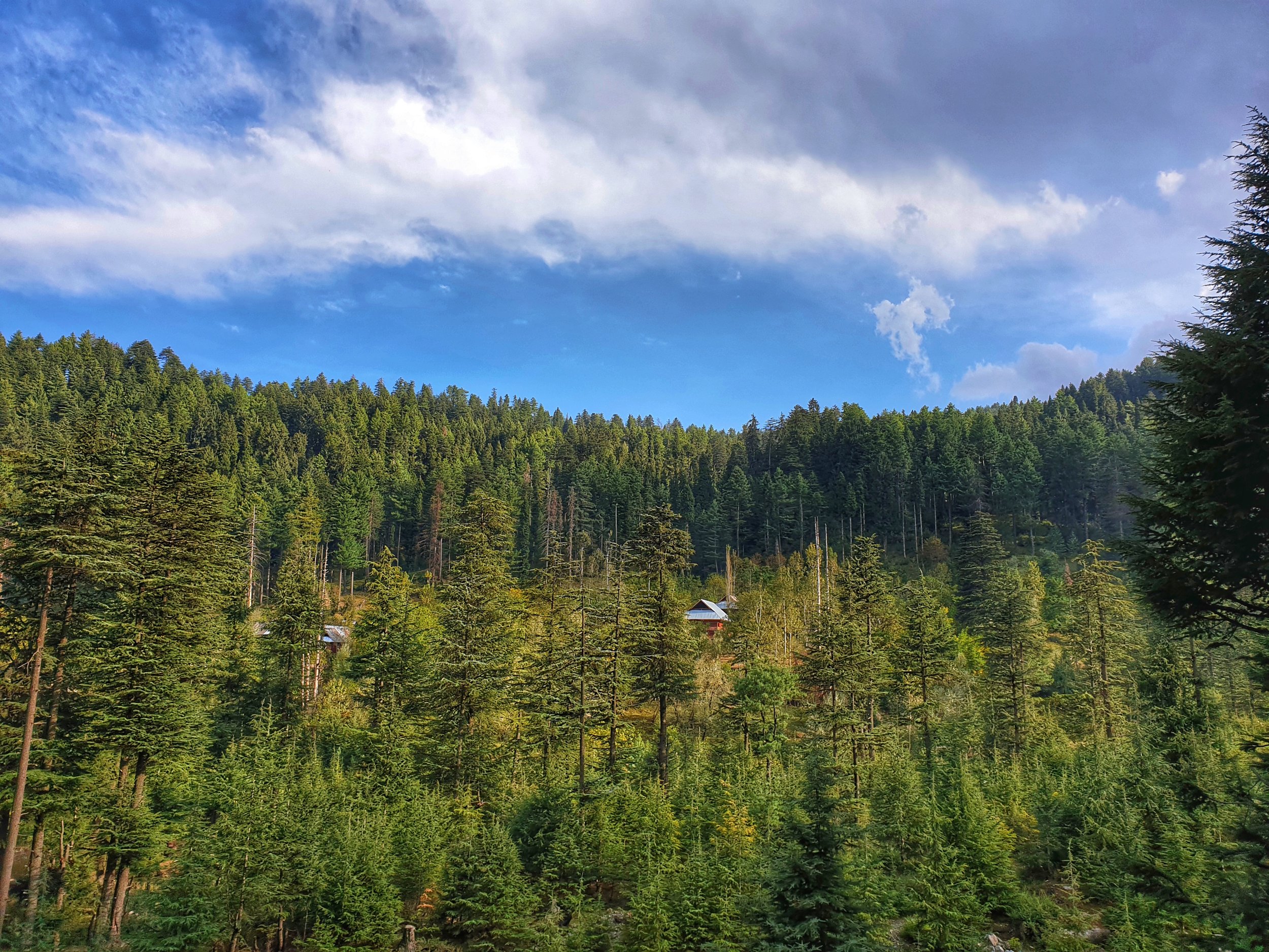
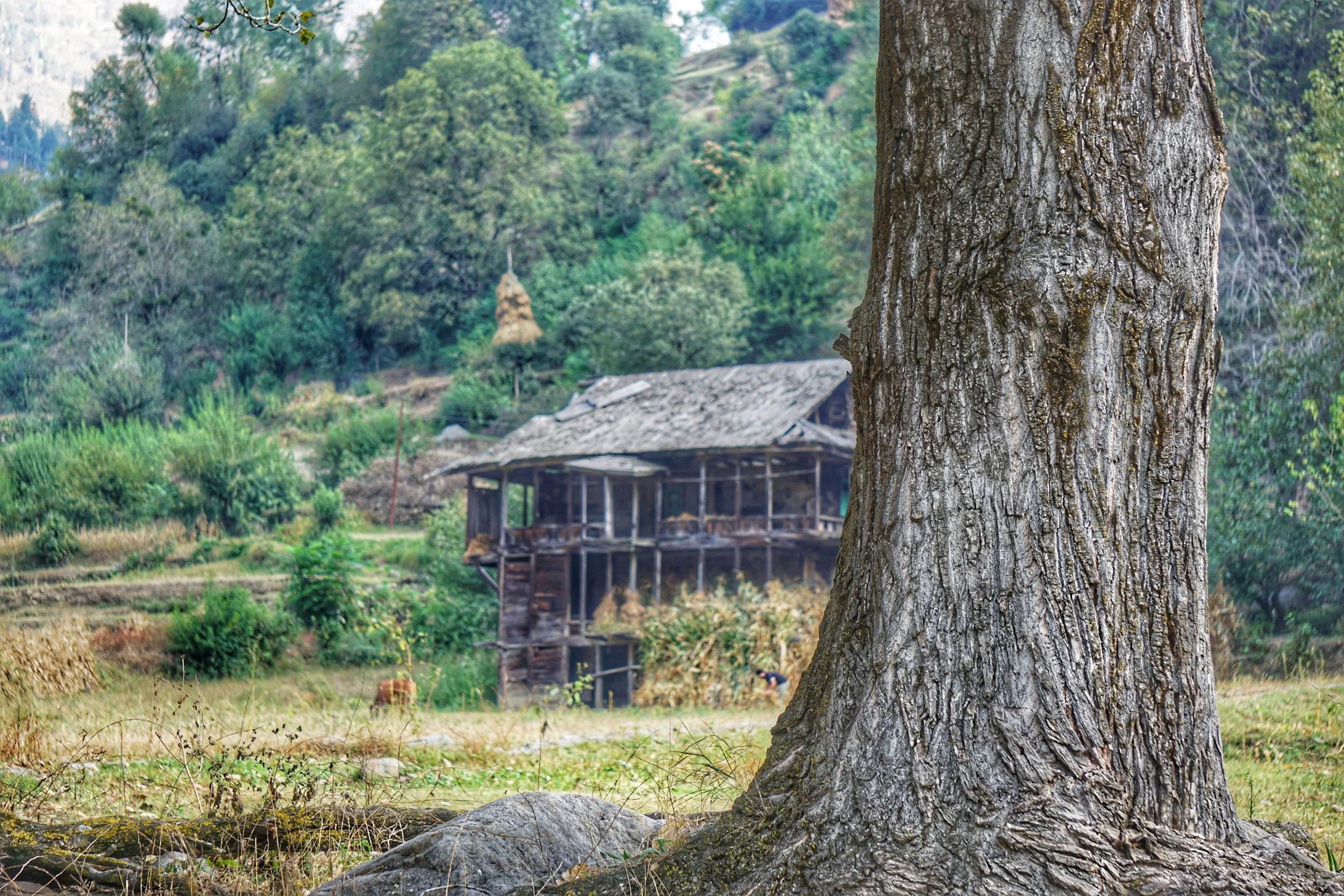
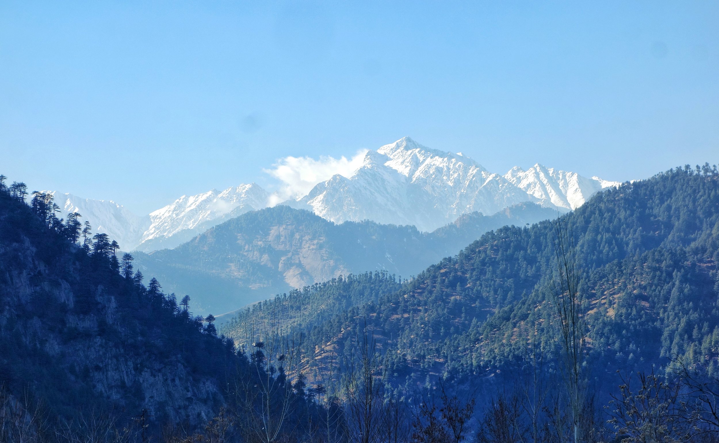
Kashmir Border Offbeat
Kashmir holds many Offbeat places close to the actual Line of Control in the what are called the Border areas and these have been off the usual Tourist trail. Highlighting some of these areas which most people havent even heard of.